
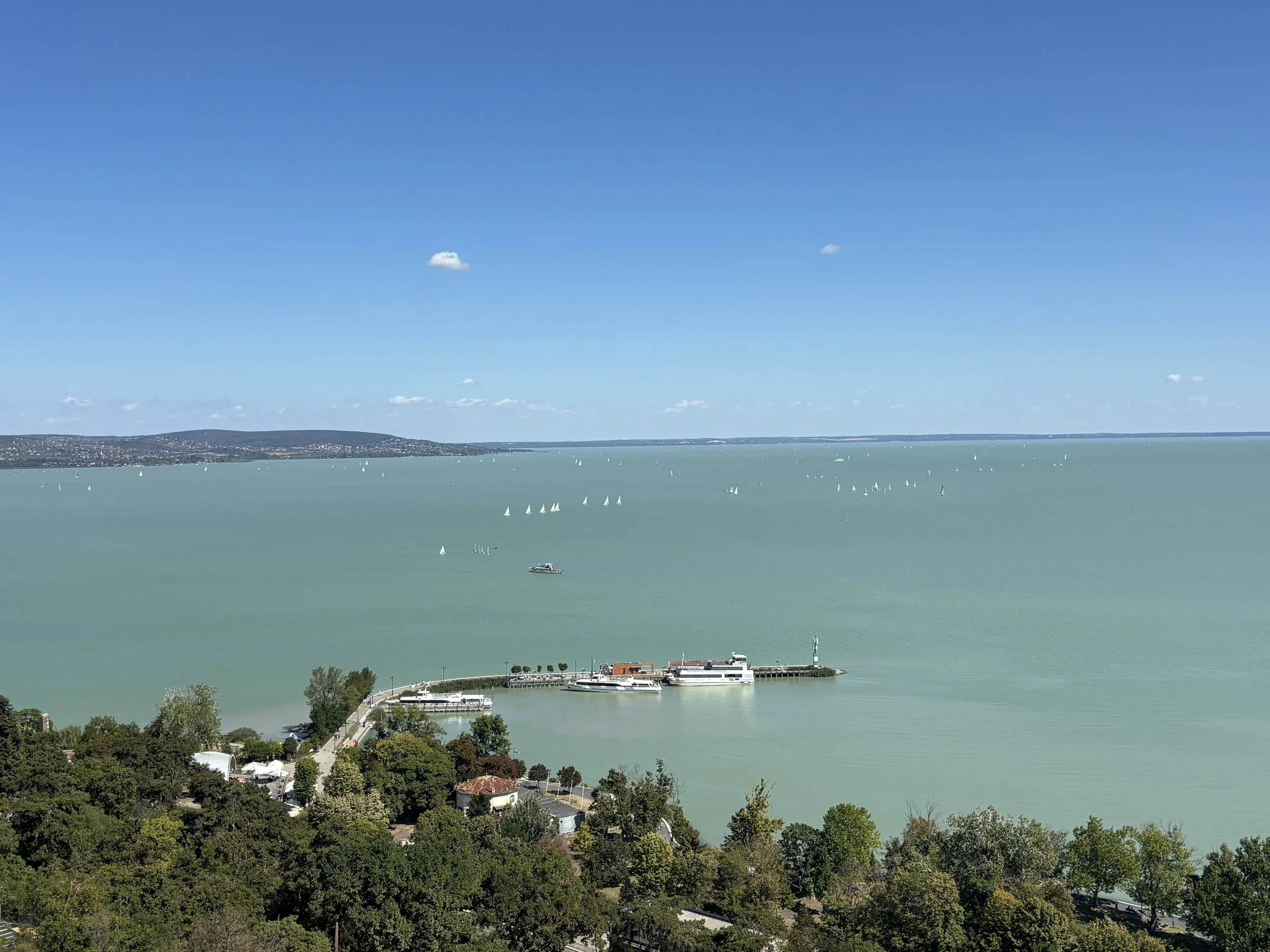
What to do and what to see around Lake Balaton, the sea of Hungary
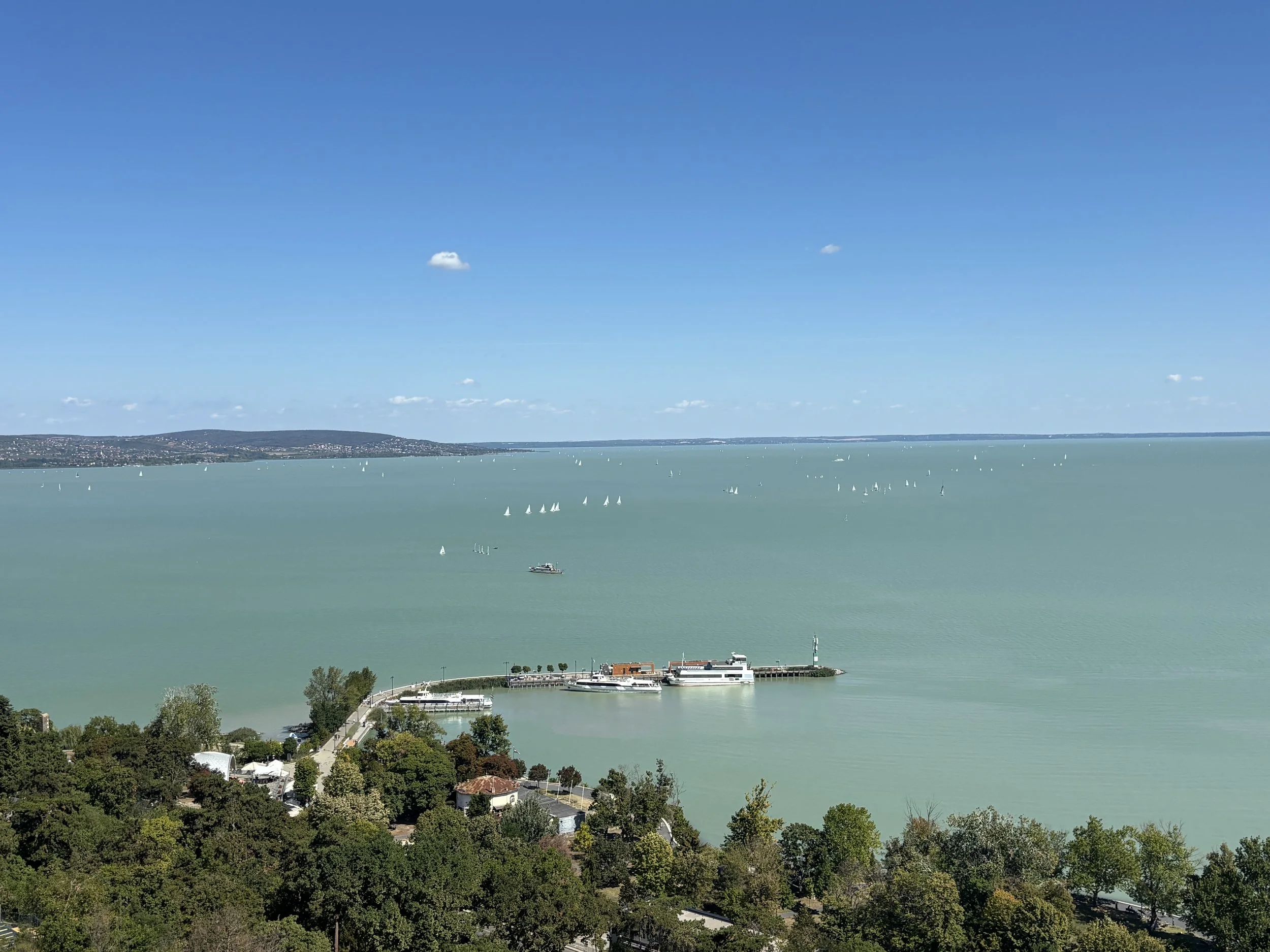
Lake Balaton is not only Central Europe’s largest lake, but it can also be called “the sea of Hungary”, since it is by far the largest body of water in this landlocked country.
Balaton has also been, for many generations, a major holiday destination not just for Hungarians but also for people from all over Central Europe. During the Cold War, citizens of East Germany came in droves to Balaton on holiday and it was actually through Hungary that the first cracks in the Iron Curtain started to appear.
The lake is actually a pretty nice day trip from Budapest. In addition to its scenic and recreational qualities, Lake Balaton has also quite a few interesting sightseeing spots along its shores and the distances involved are such that it is possible to see most of them in a single day. Having said that, if you have the chance I would definitely recommend doing it in two days in order to avoid fatigue and do it all at a more leisurely pace.
So, what are the top things to do and to see around Lake Balaton? Let’s have a look!
Covered in this post:
How to get to Lake Balaton
Driving in Hungary
The Tihany Peninsula
Taking the ferry from the south shore (Szántód)
Badacsony and its wineyards
Szigliget Castle
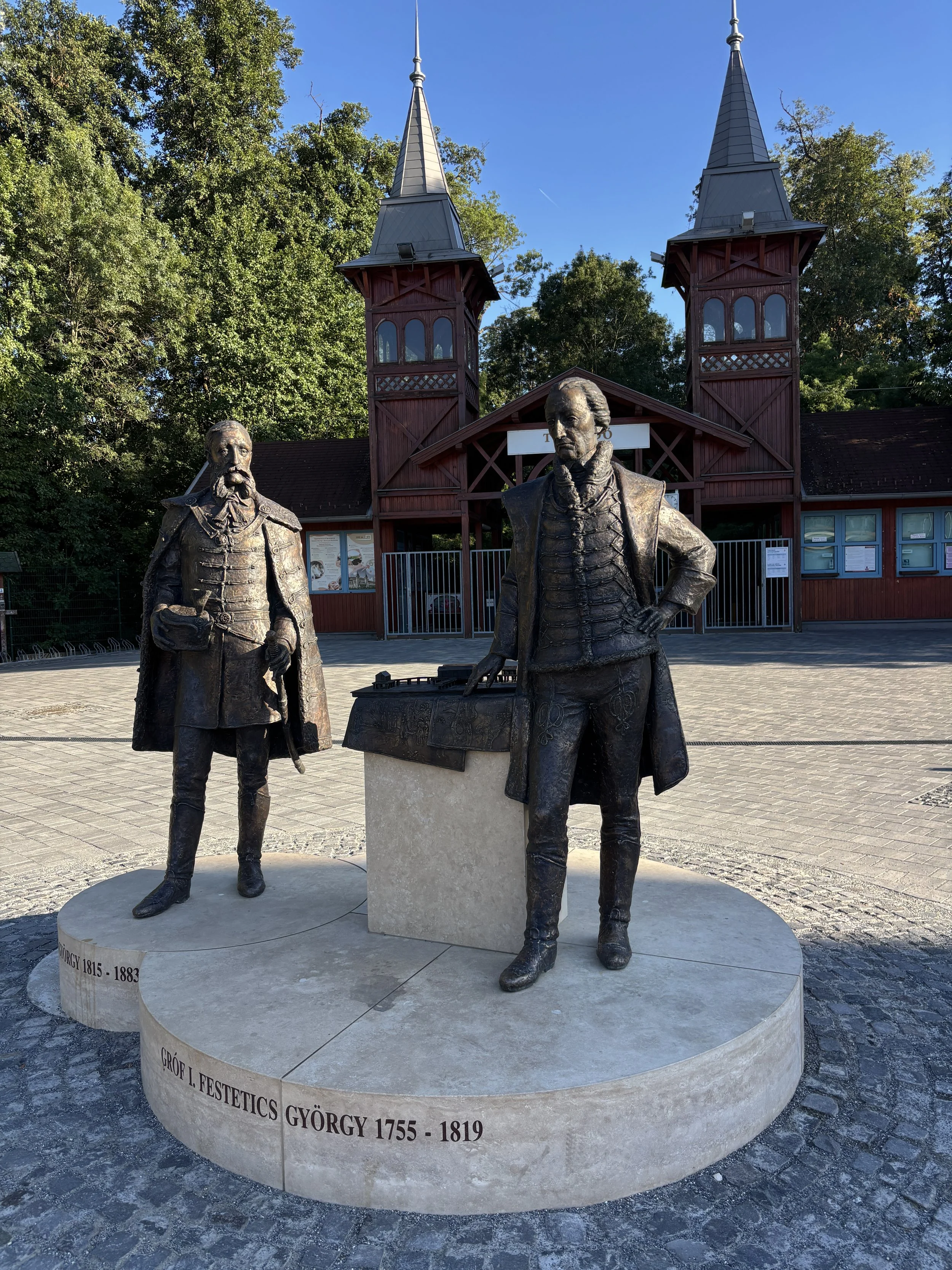
Héviz and its thermal lake
This post may contain affiliate links. If you book or buy something through them, I earn a small commission, at no extra cost to you. It's one of the ways I keep Places of Charm going. Thank you for your support.
How to get to Lake Balaton
Getting from Lake Balaton. To be clear, this post will mostly be useful if you are travelling by car, but there are trains running along both shores of the lake, so this is an option that may be worth checking if you feel inclined to travel that way and there are even boats that will give you the views from the water side.
From Budapest, which is the itinerary I followed, it is about one and a half hours drive to Tihany, which was my first stop along this route. Almost the entire itinerary is based on the north shore of the Lake. This is not to say that there aren’t interesting sights on the south shore. The whole itinerary totalled 450km, which is quite a stretch, but doable in a day if you don’t mind the driving.
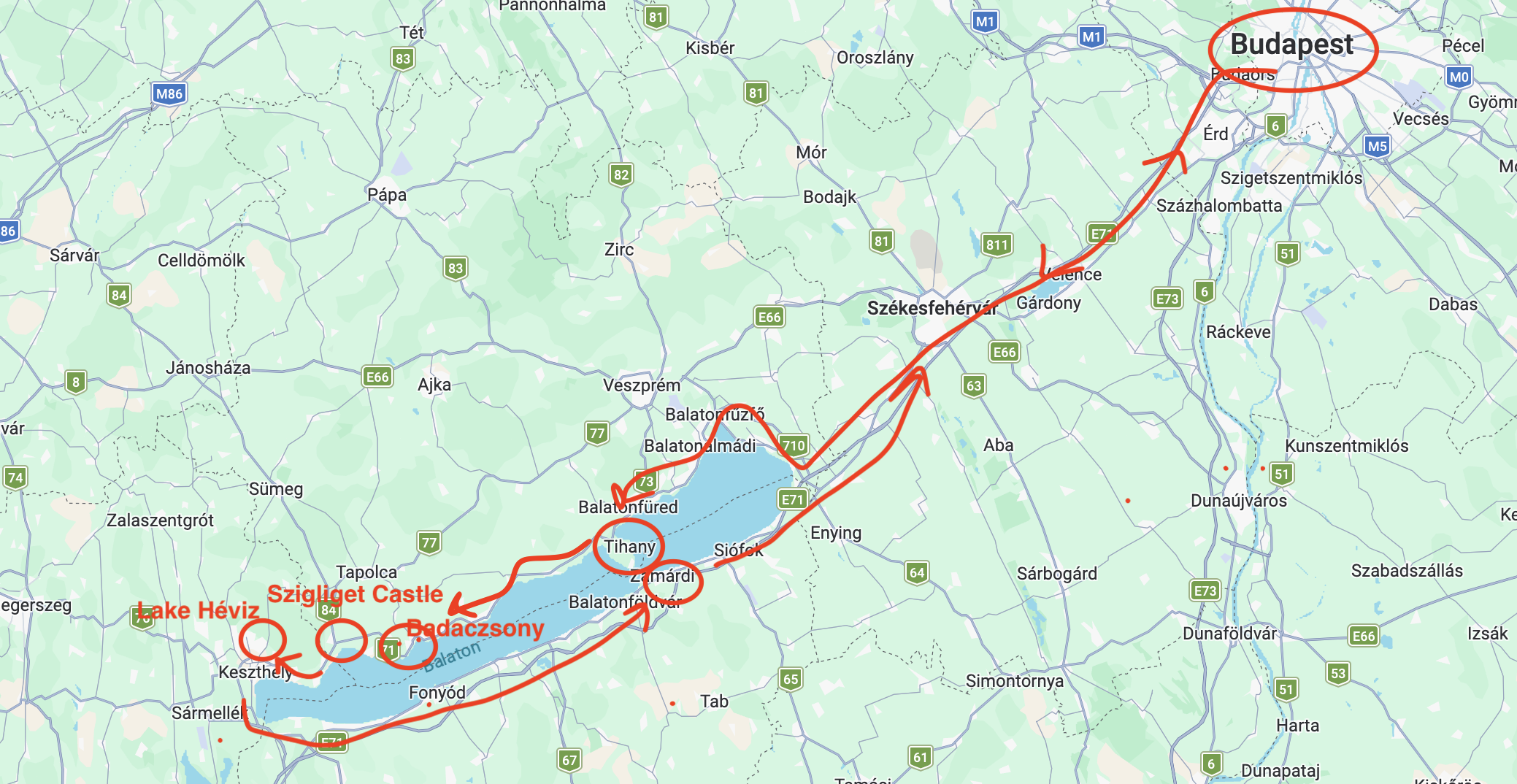
From what I have read, there are plenty of beaches and holiday infrastructure on the south side, but I got the impression that most of the sites of interest from a purely sightseeing point of view are on the north shore (if I am wrong, happy to take suggestions for my next trip to the area!).
Roads were of very good quality throughout, including motorway M7/E71, which is the main road axis linking Budapest to the Lake. Directions are well indicated all the way from Budapest.
Just before reaching the eastern end of the lake, I left the motorway to take Road 710 northwards and then most of the itinerary followed Road 71, which runs all along the north side of the lake. On the return trip I chose to join again M7/E71 and drive it all the way to Budapest, aside from a short stopover at Szántód to check the cross-lake ferry terminal.
Important!
Hungarian motorways are not free. You need to get a “vignette” or road pass, otherwise you will be restricted to local roads.
Roads requiring vignette are usually indicated with an “M”. The process to purchase the vignette is 100% digital (and pretty straightforward from the user point of view). You just need to go to the Hungarian vignette website, enter your car’s registration number and select the dates you need the vignette for (for short term travel you can purchase either a one day or ten day pass, although there are also monthly and yearly options). The whole purchase process takes less than two minutes.
Everything is automated and your car is electronically checked at certain points along the motorway.
The Tihany Peninsula
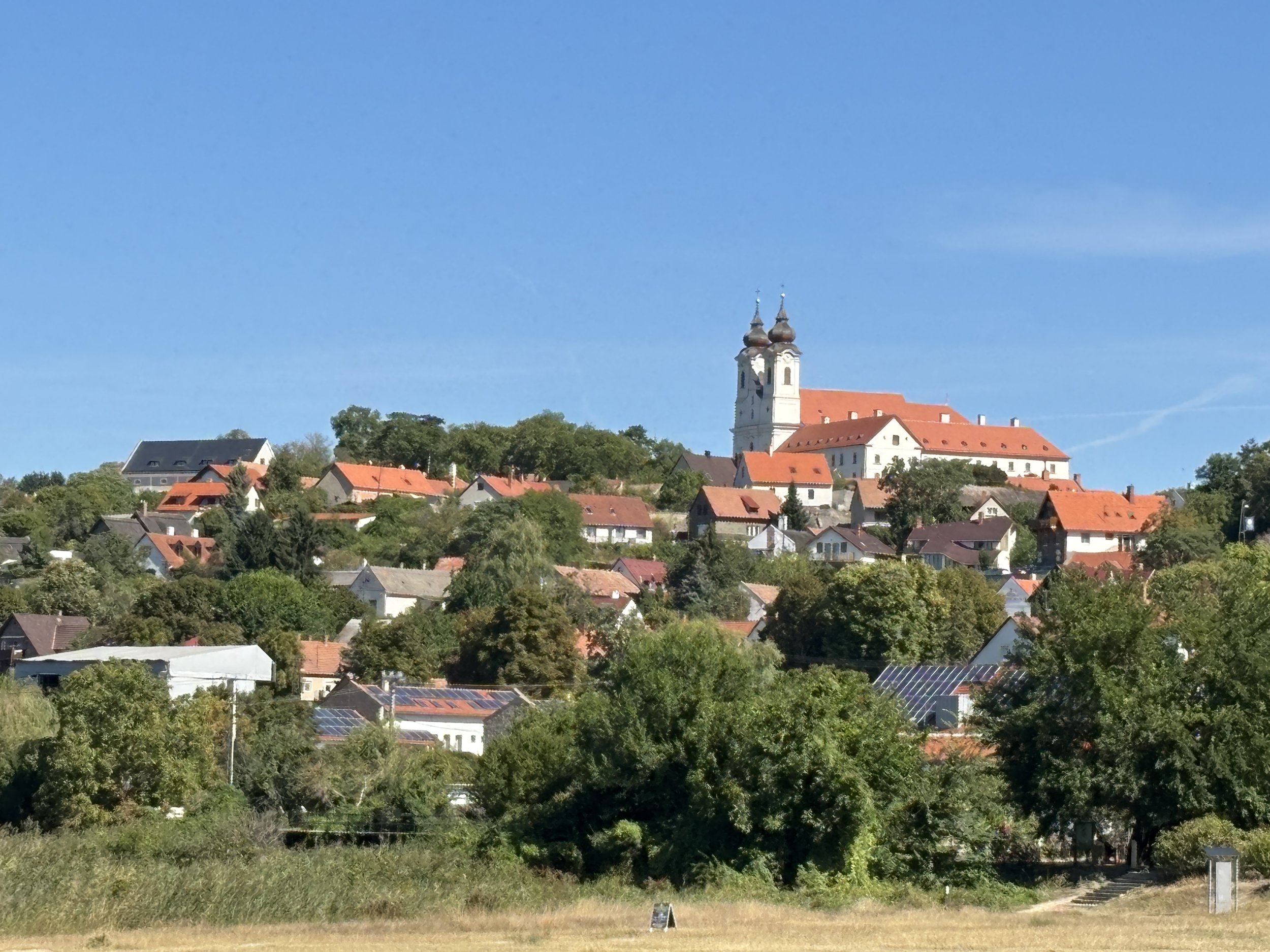
The first stop coming from Budapest and, perhaps, the most scenic place on the shores of Lake Balaton is the peninsula of Tihany.
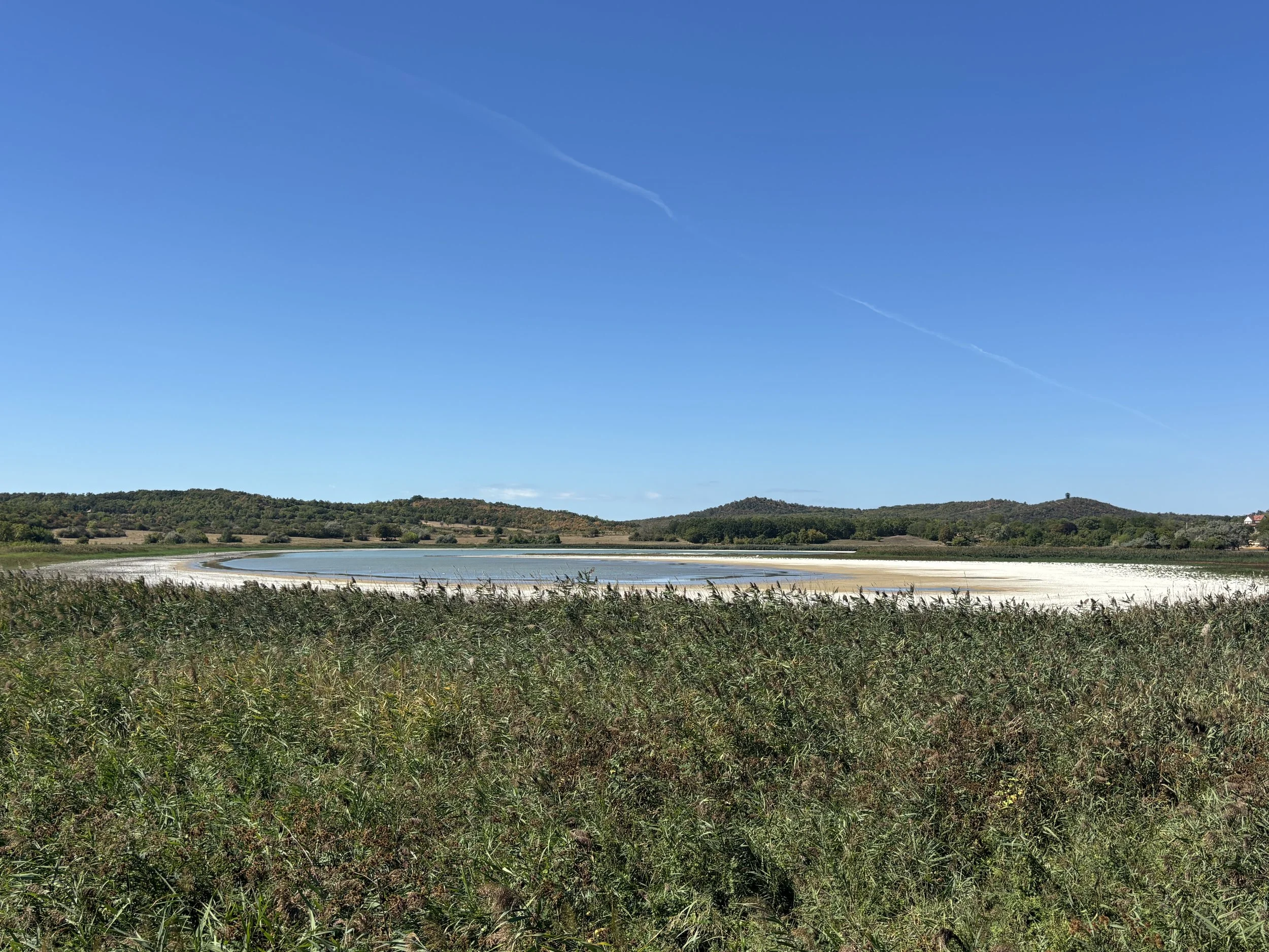
This little peninsula protrudes into the lake, almost cutting it in two parts (it is little more than 1 Km from its southern tip to the south shore).
Unlike most of the surrounding countryside, it has also some elevation (the little hills that dot the area around Lake Balaton are mostly ancient volcanos!), which gives you a great point of view over the lake. In fact, the peninsula contains two other smaller lakes (not connected to Balaton), which are, in fact, old volcanic craters.
Besides the village of Tihany, which we’ll soon see, Tihany is a place of natural interest, as well, since there some marshes around the lakes and several tracks to trekk in the nature around it.
There is even a pagoda-shape observation tower, known as “Őrtorony-kilátó”, although you have walk a bit to get there. It was tempting, but I skipped in order to allocate time also to other points of interest further west on the lake shore.
Parking in Tihany
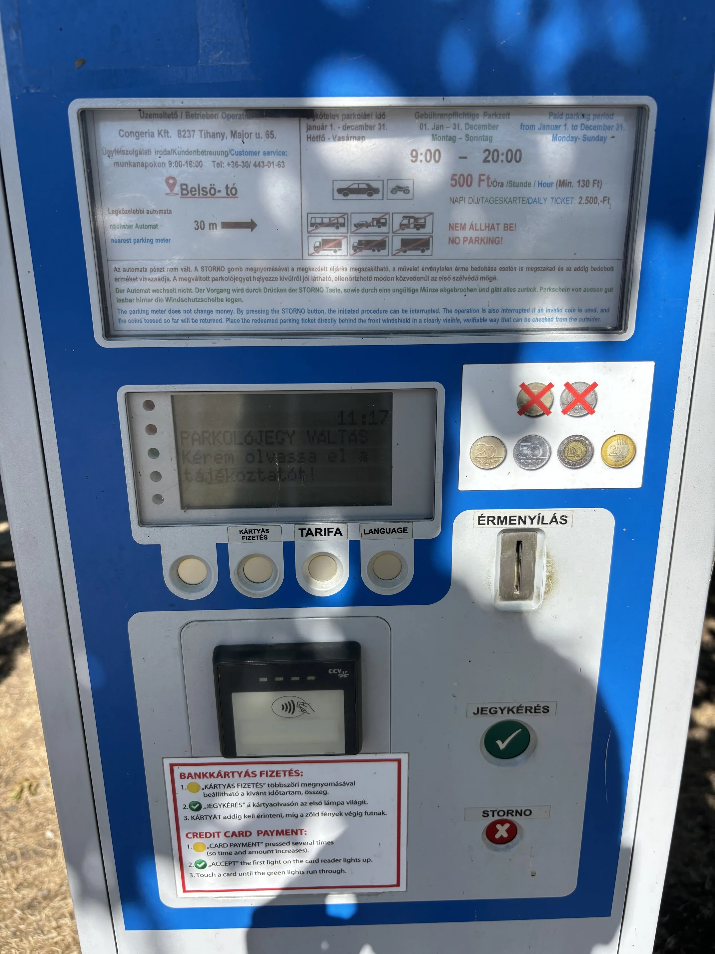
Parking around Tihany is metered. As you can see here, at 500 Forints per hour (€1.3), it is not particularly expensive, but parking spots are a bit limited in the village itself (to be fair, the “urban” part of Tihany is really, really small).
So, if you are visiting during the summer or weekends, the most likely is that you will end up in the outskirts of the village, near the volcanic lake, where space is more plentiful (it is a 10-15min walk from there, although it is a bit uphill).
The payment machines take both cash and cards, but found the interface not to be particularly user friendly, quite clunky and slow, difficult to read (not a language issue, since it is multi-lingual) and, at least, at one spot, not working at all.
Tihany’s Benedictine Abbey
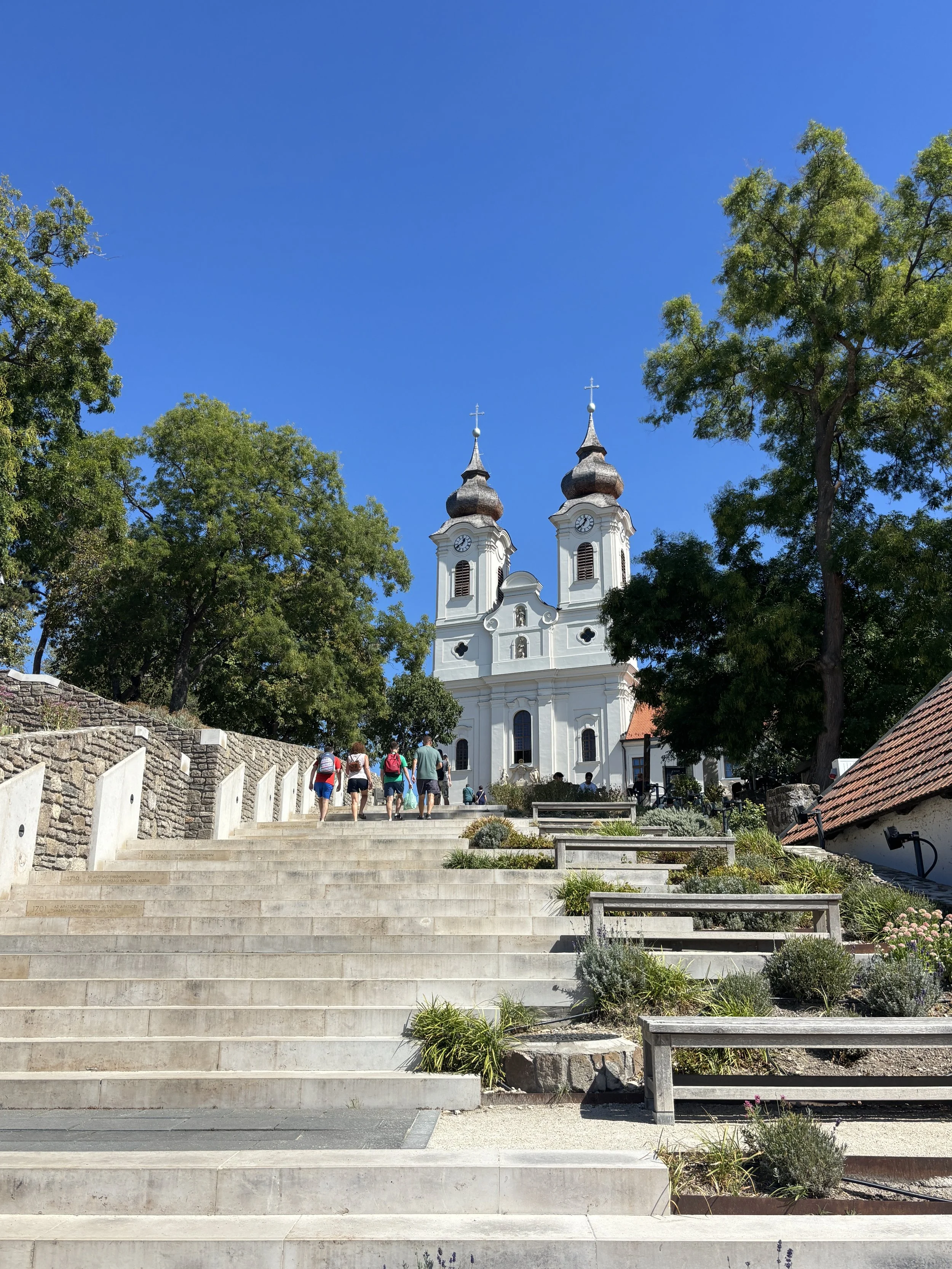
The main landmark in Tihany is, without a hint of doubt, the Benedictine Abbey, which overlooks both the village and the lake from its elevated hilltop position.
Although the current building is in the Central European Baroque style, with two bell towers ending in onion-shaped spires, Tihany’s abbey traces its roots back to the 11th C., just decades after the christianization of the Magyars and at a time when the religious question was not yet fully settled in Hungary. So, the foundation of this abbey was, at the time, an important development that helped consolidate the Christian faith in this part of Europe.
To access the abbey there is a flight of stairs that wouldn’t be out of place in, let’s say, Rome.
To visit the Abbey and its crypt you would need a ticket, which can be bought at the visitor’s center right next to the church entrance. The standard fee is 3,400 Forint (€9.2/$10.5).
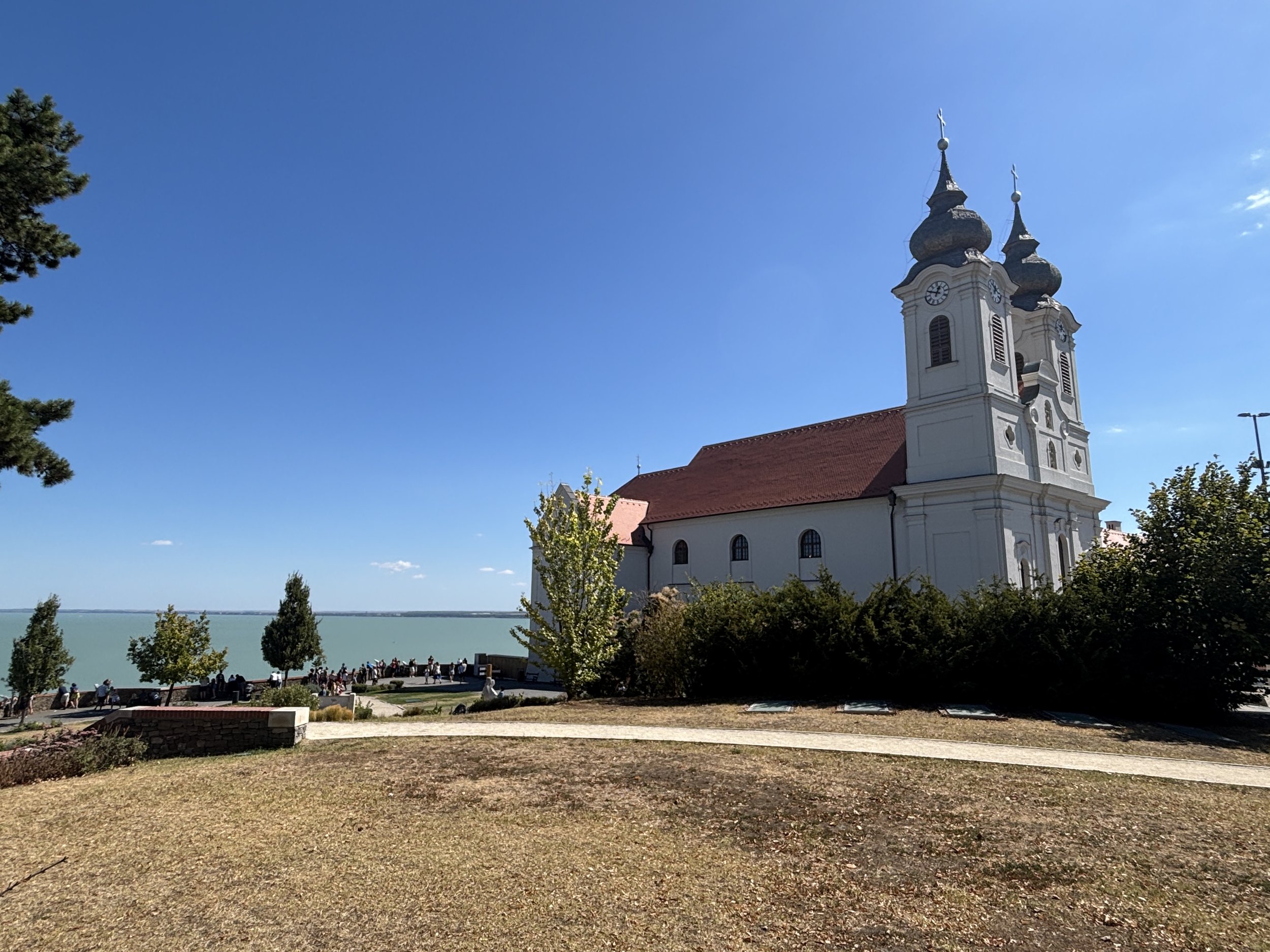
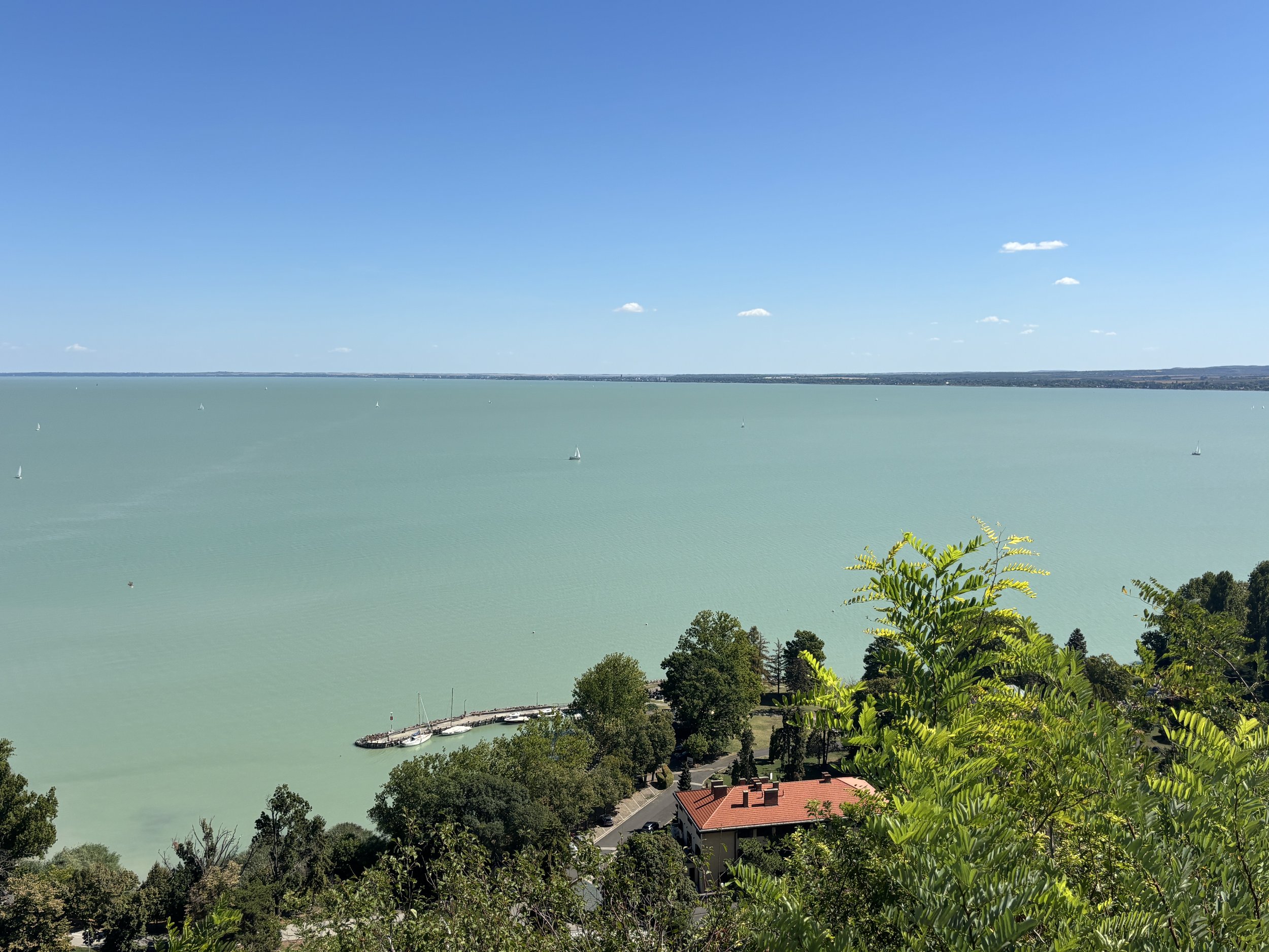
Once at the top, you get to a little park with magnificent views of the eastern part of Lake Balaton, which in sunny days takes a beautiful turquoise colour. From here you can get a grasp of what they mean when they call Balaton “the sea of Hungary”!
Thatched Roof Houses & Lavender Fields in Tihany
All around the Abbey is the village of Tihany, which, to be honest, has become a bit of a tourist trap. The main road into the village is completely devoted to catering to visitors with the usual souvenir shops and the like. The same can be said of the main pedestrian lane on the crest of Tihany hill, leading into the abbey.
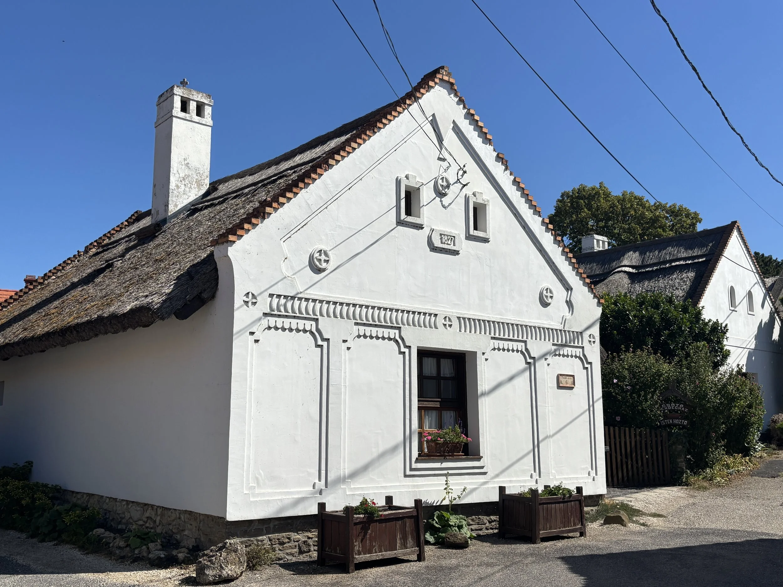
There are, however, some residential homes that have kept the traditional thatched roofs of the area.
The other major thing in Tihany is lavender, which has been grown in the peninsula since the 1920s, when a Hungarian entrepreneur brought seeds from southern France.
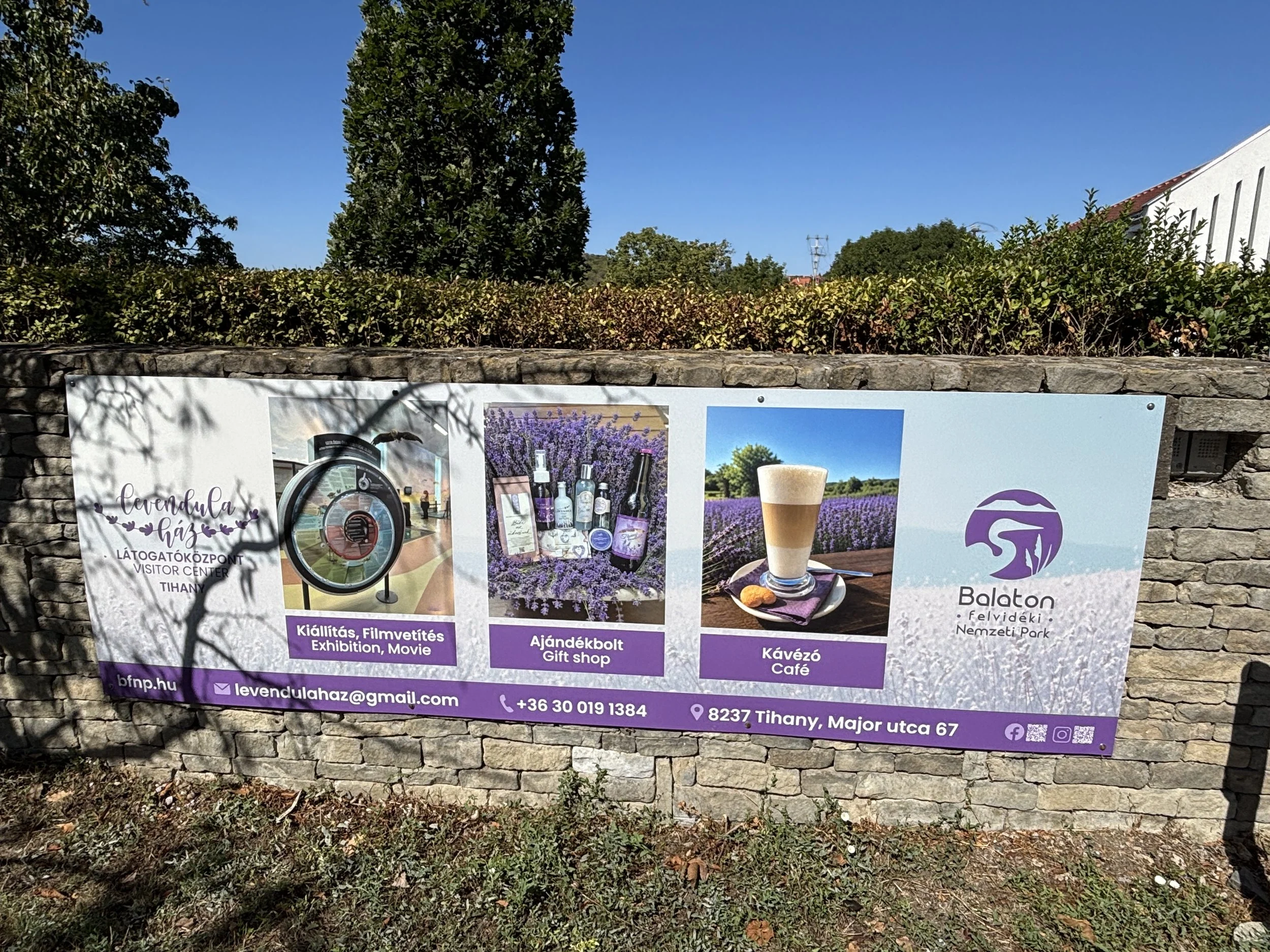
There are lavender fields all over the peninsula and several local businesses make all sort of products with this harvest. You can find lavender products at all souvenir shops and there is even a “Lavender House” (The Levendula Ház), which is a sort of visitor’s center focused on the topic of lavender.
By the way, the blooming season is usually from late June to mid-July.
Avoid this restaurant in Tihany!
I would have liked to provide a restaurant recommendation for Tihany and, in fact, I will recommend where NOT to stop for a meal: avoid the Csárdás Vendéglő restaurant by all means!
It is located on the main street, close to the stairs that lead to the Abbey and it has a large terrace with shadow, which is kind of inviting at first, but there were two major issues:
First is that they are super slow, even with the terrace practically empty, it took ages to get the order.
Secondly, and this is the worst part, is that they do not take cards, none at all! They do not warn you about this anywhere, which would be the minimum they could do and the surprise comes when you have to pay. This may have been understandable perhaps in 1990, but in 2026 it is inexcusable. The result is that if you don’t carry enough forint in your pocket, you will have to run 500m to one of two ATMs in the village, which charge extortionate rates for local currency withdrawals.
I was not surprised to find out on Tripadvisor that this happen quite often, which makes it even more inexcusable.
Beaches around Tihany
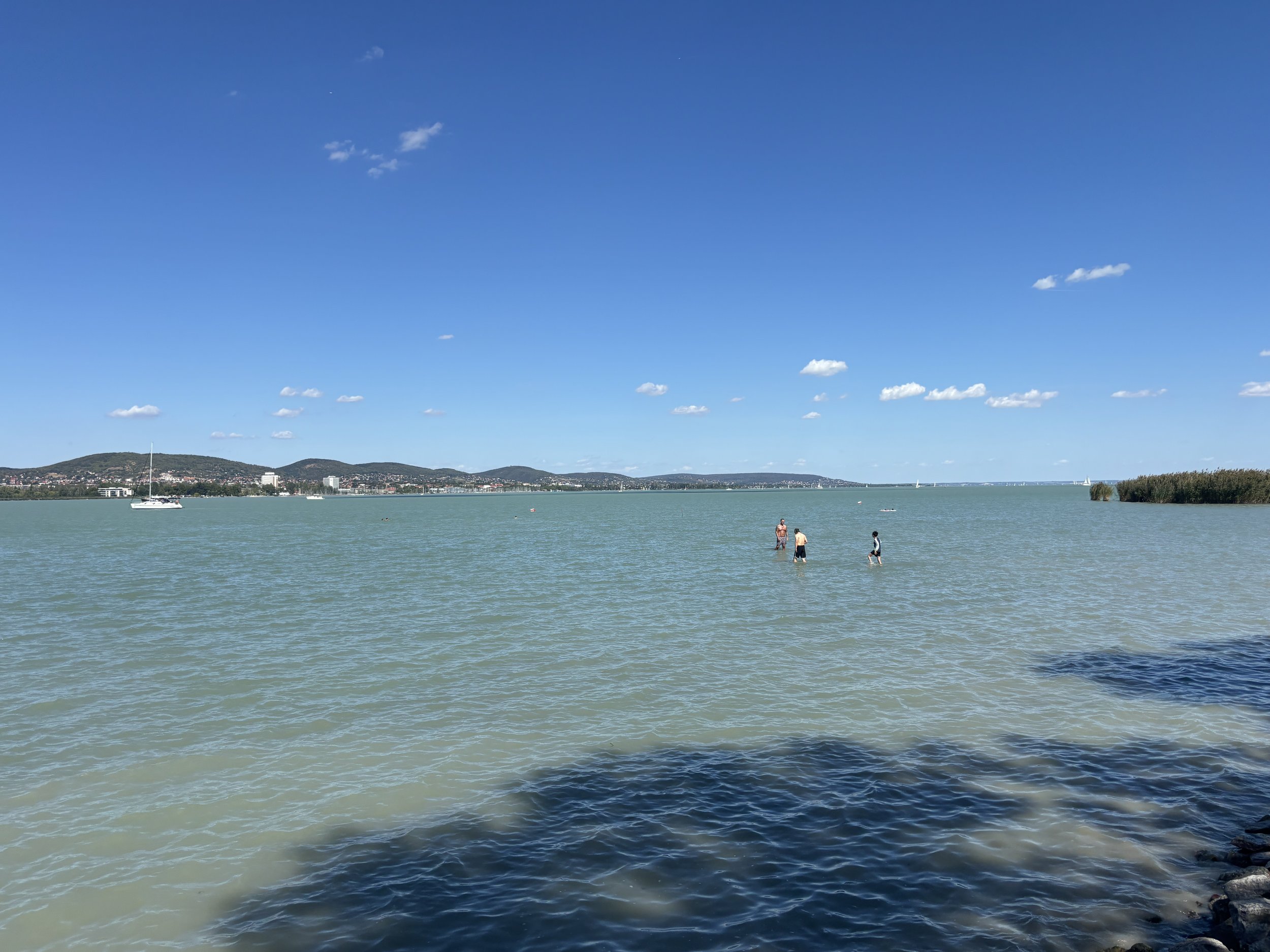
After visiting the Abbey and the village, I recommend driving down to the lake shore. Right underneath the cliff on which the abbey stands is a long shore promenade with several beaches and recreational areas. This is a good spot to get close to the water.
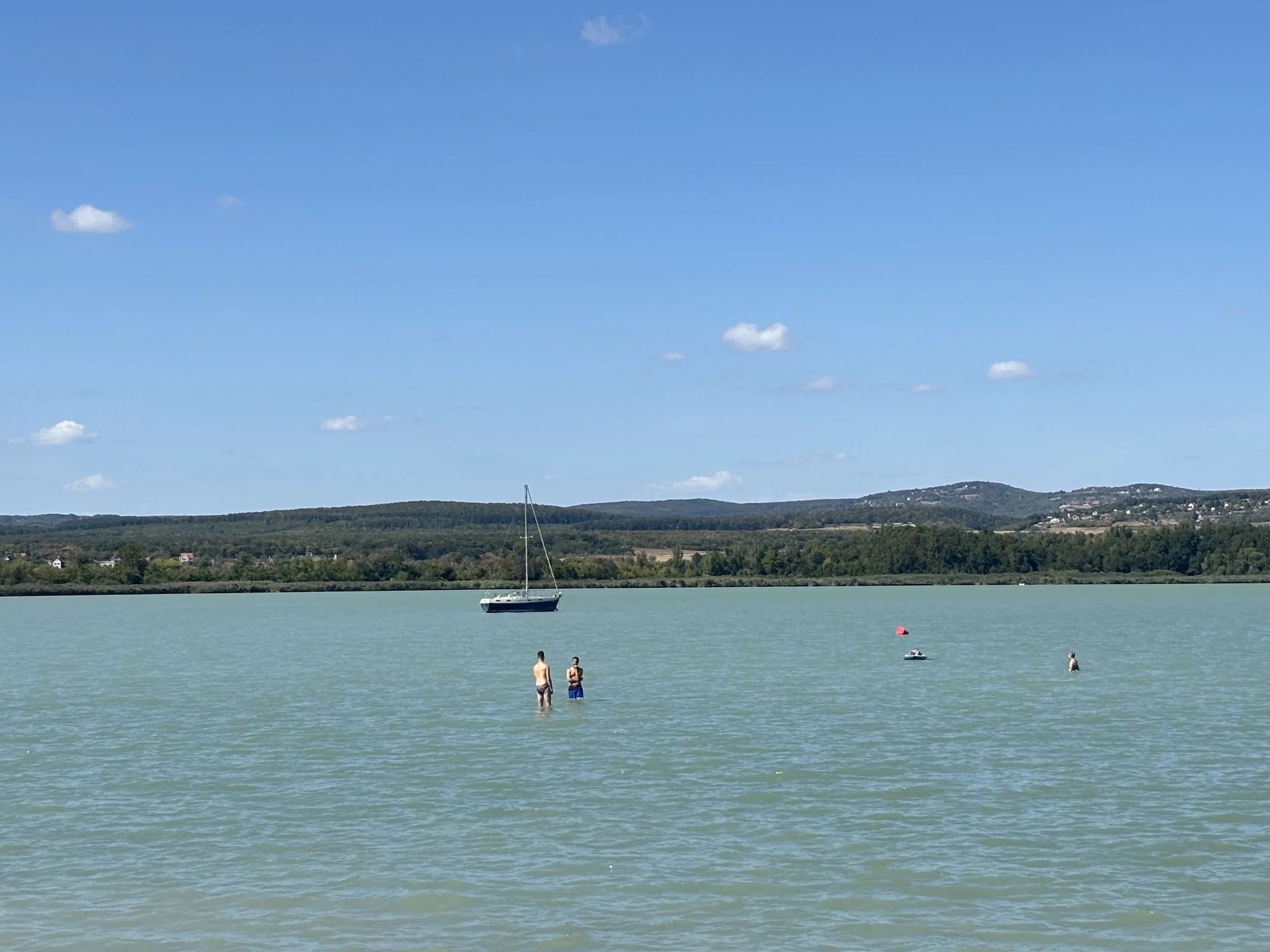
I was surprised to learn how shallow Lake Balaton is in this area: you can see people walking hundreds of meters into the lake with water barely reaching their knees!
The water has also an interesting colour, with the turquoise green that you can see from a distance turning into more brownish hues, due, I guess, to the many sediments it carries. Also, surprisingly (or pehaps not so much, given its shallowness), the water was not cold at all.
Badacsony: vineyards and viewpoints
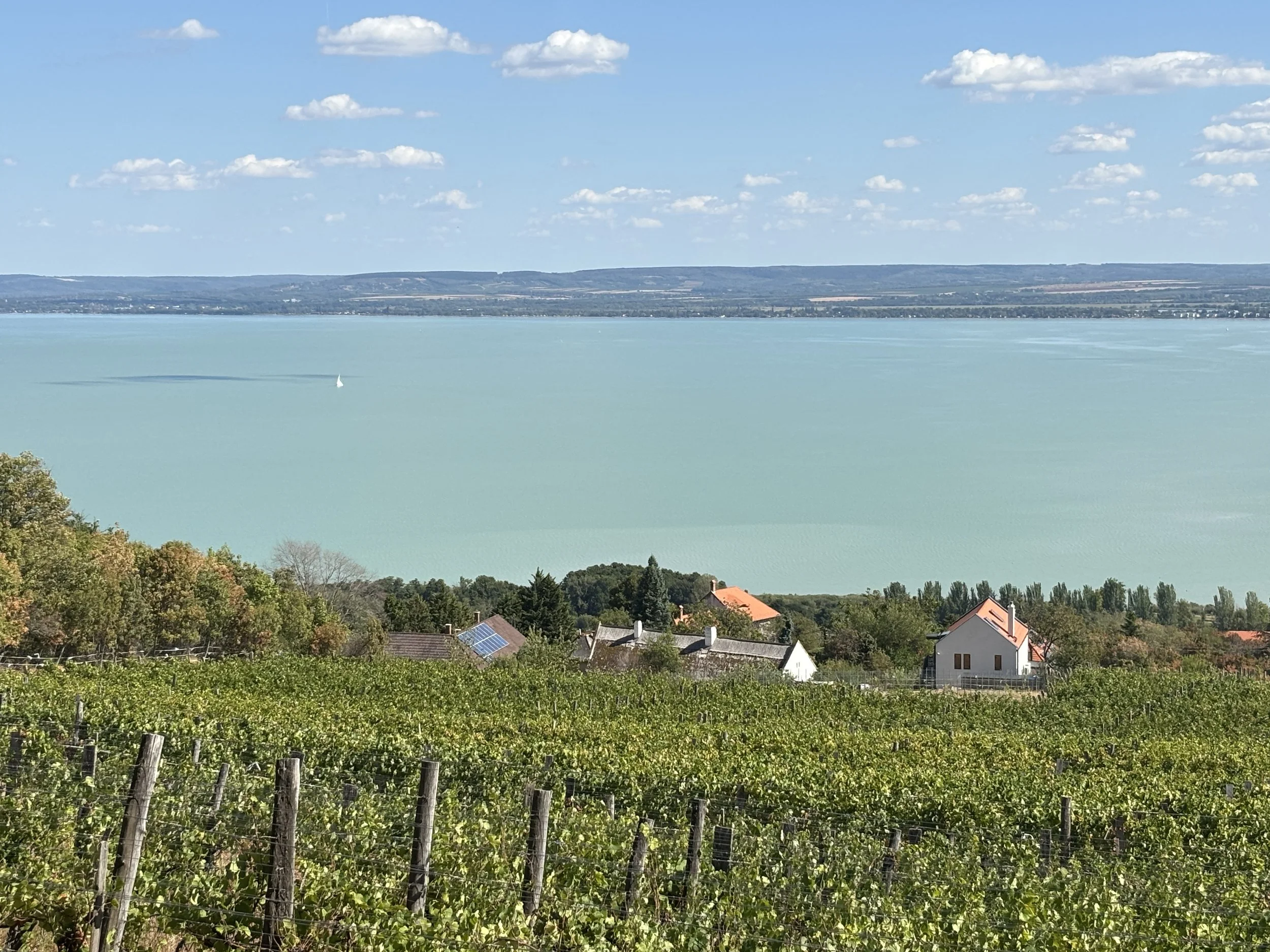
A few kilometers west from Tihany is another great spot to admire the beauty of Lake Balaton.
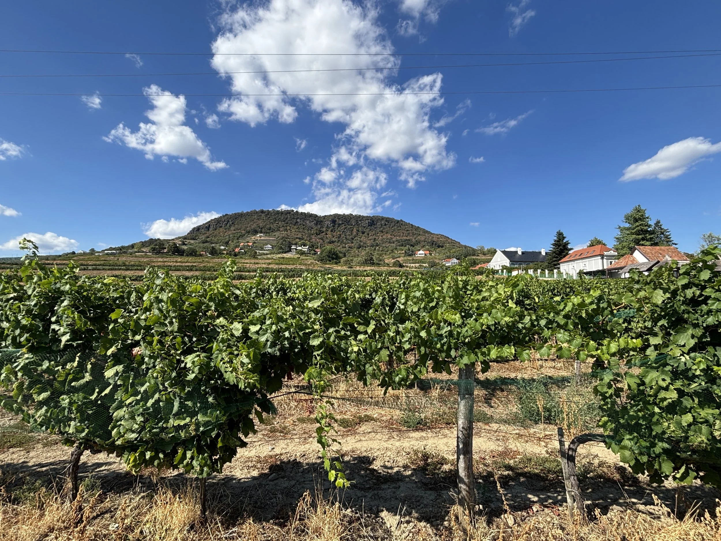
The village of Badacsony is at the foot of yet another hill of volcanic origin. In fact, there are several of these hills along this part of the lake standing more of less in isolation from each other, rather than forming ridges.
Quite a few visitors comes here to trek to an observation point, yet another tower called “Kisfaludy-kilátó”, which is somewhere mid-mountain. To get into the trekking paths you can drive uphill through a narrow road which takes you to the start of the forest line, past the vineyards. Space to park here is limited (it costs 600 Forint, €1.6, per hour), but it is worth stopping by for the views.
You don’t need to get all the way to the tower or other higher viewpoints to get nice views of the lake and vineyards. You can just walk some 100m up from the parking and you have already some great viewpoints.
But what gives this part of Balaton its most scenic quality is its vineyards. This is wine country and what you find here is a landscape that is a bit reminiscent of the vineyards of Lake Leman, in Switzerland, with the vines sloping down gently towards the water edge.
Szigliget Castle
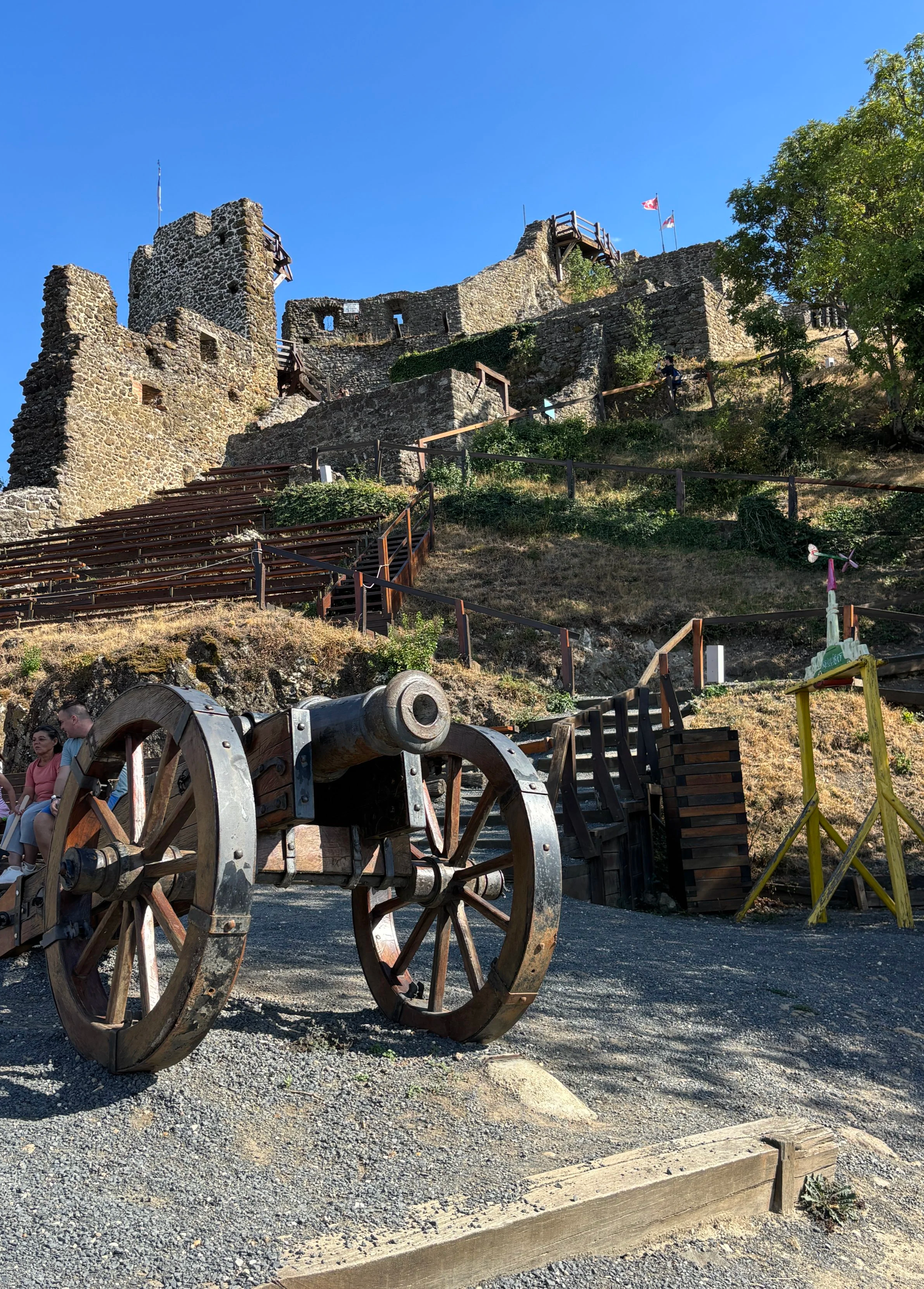
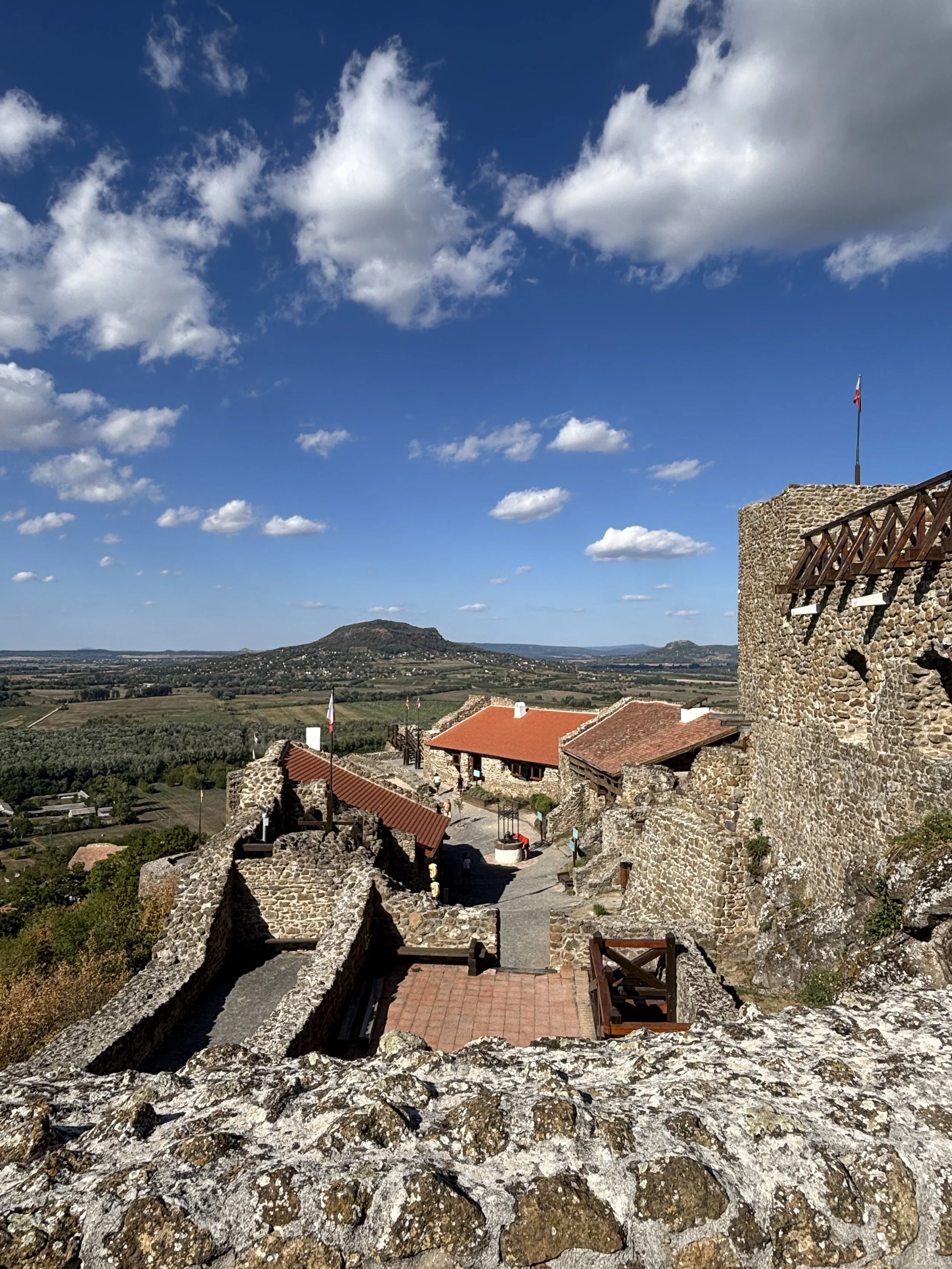
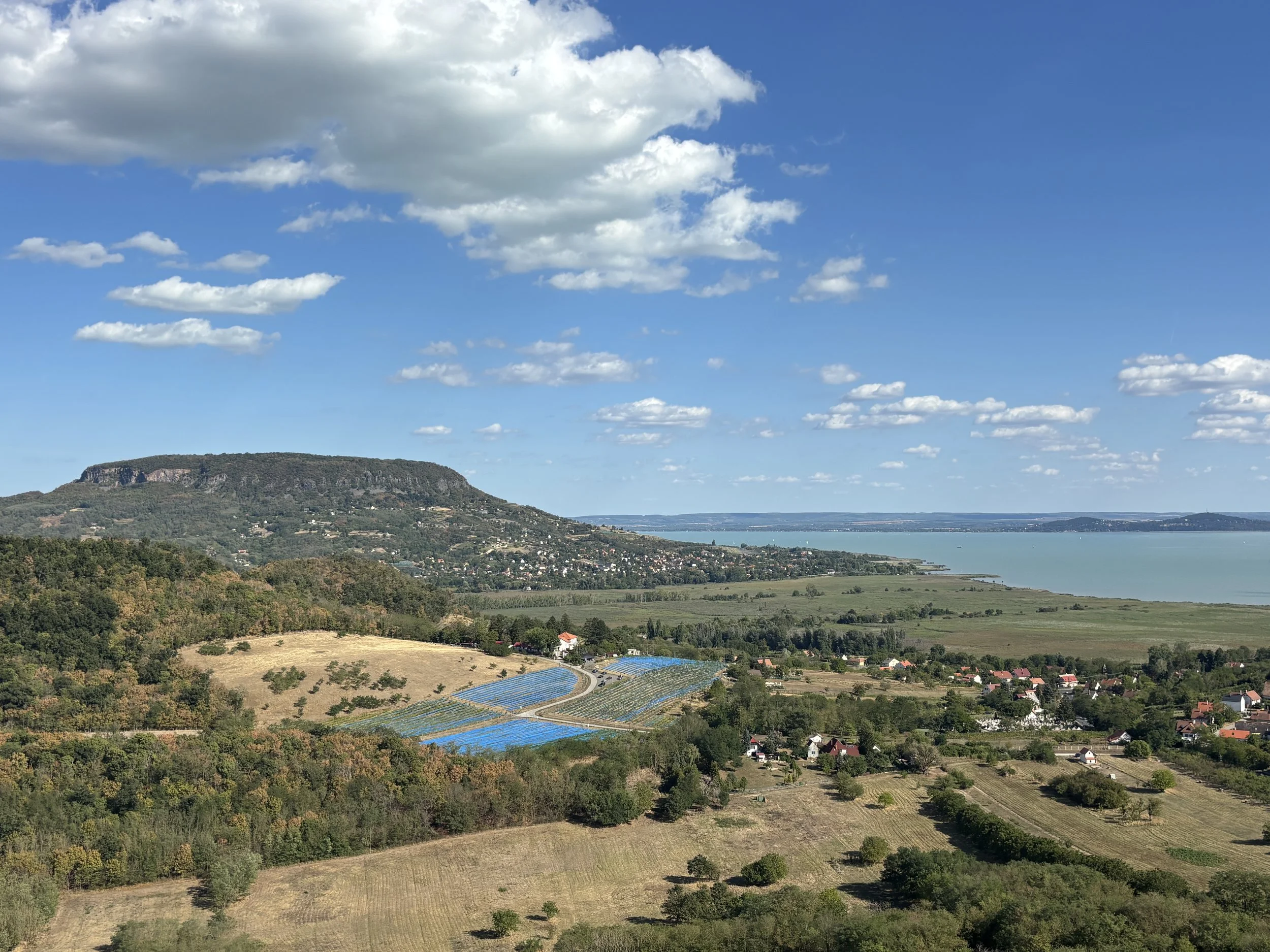
A couple of kilometers further west from Badacsony is another must-see: Szigliget castle.
This fortress is located on top of another isolated hill in what it used to be an island.
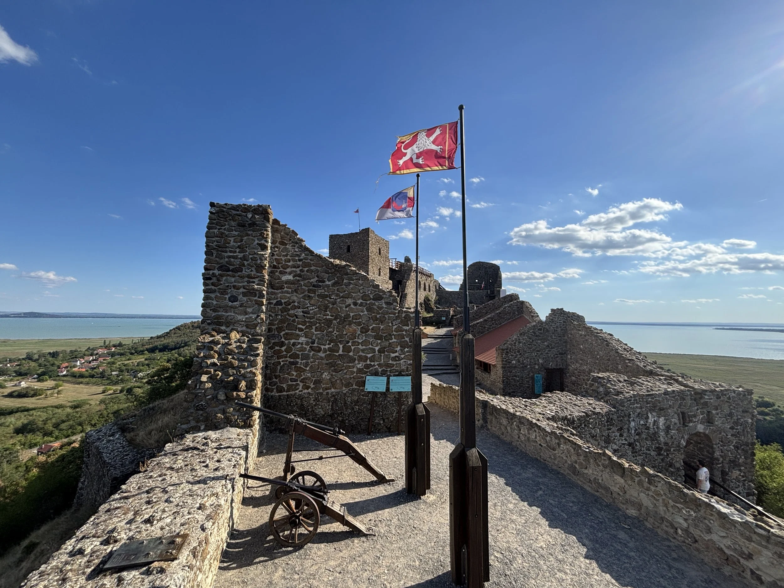
The castle is quite steep in its shape, because its structure was built following the shape of the hill with a significant incline from its base all the way to its upper parts.
Next to the entrance there are several service buildings as well as plenty of space for parking, which is free.
To get to the castle you need to walk some 200m uphill, but this leaves you just at the entrance (btw, standard adult tickets are 2,000 Forint, or €5.5/$6, half this amount for children).
There are then different paths to explore the castle, but if you wish to enjoy it best, you will have to climb a bit.
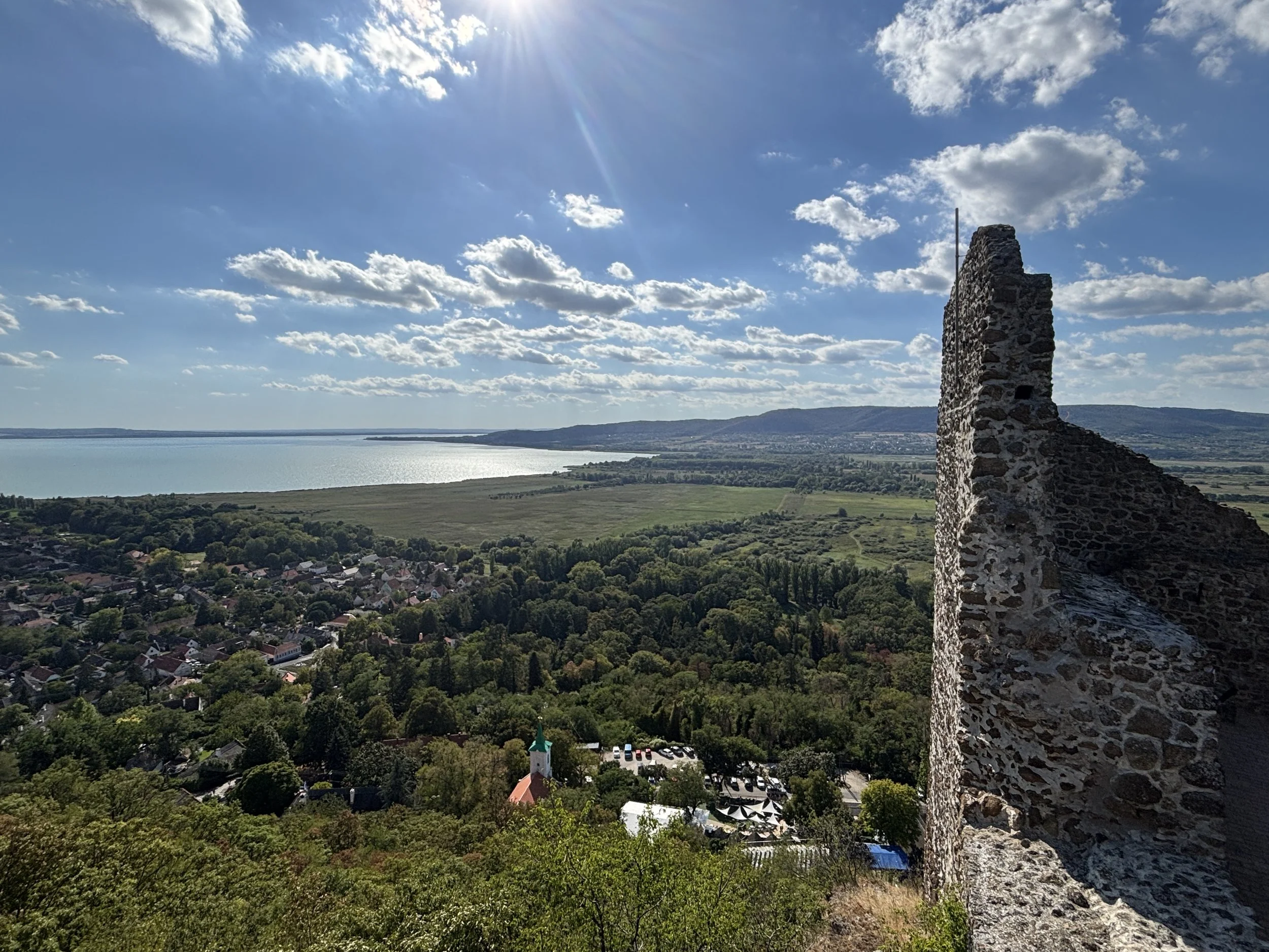
The views from the upper reaches of the castle are pretty amazing, though, and they cover 360º around.
Historical context of Szigliget Castle
The castle is also a museum, with lots of information presented throughout its multiple chambers, explaining its historical context.
Szigliget Castle was one of many castles built in the area after the Mongol invasion of 1241 (a traumatic event which had also a big impact in other parts of Central Europe, such as the city of Wroclaw, as we commented in a recent post!) and from the 16th C. onwards it was a major stronghold in the fight between the Hungarians and the Turks.
Between the mid-15th and late 17th centuries, this was the front line between Hungary and the Ottoman Empire and the area lived in a state of almost permanent warfare. A line of fortresses, of which Szigliget was an important node, run from the southwest to the northeast along the northern shore of Lake Balaton and towards what is now Slovakia.
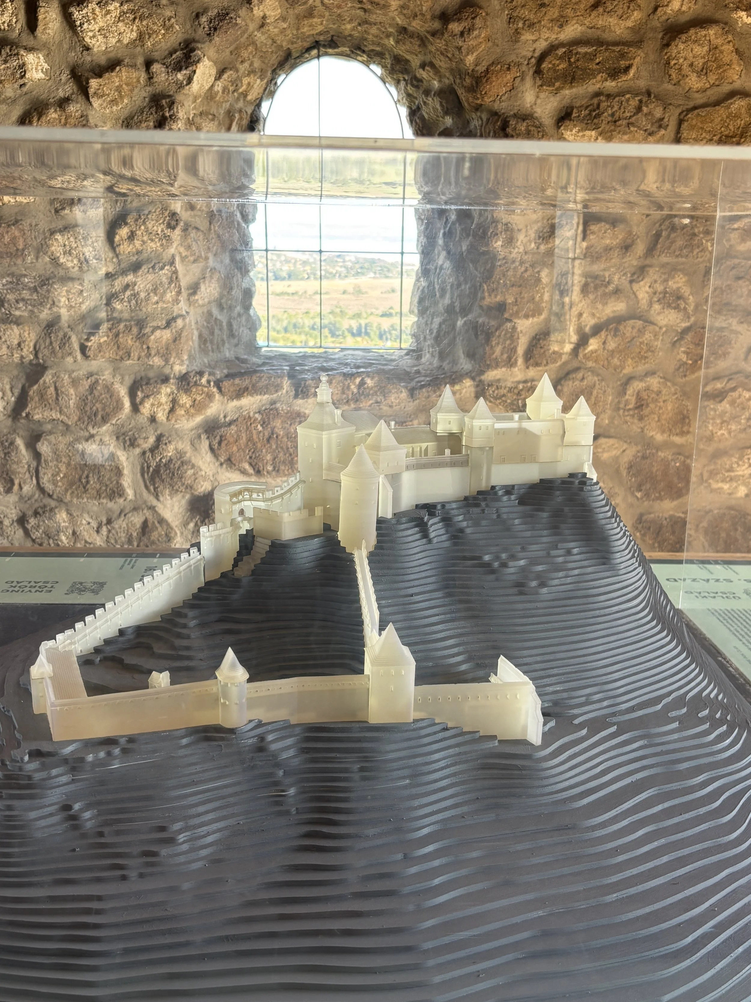
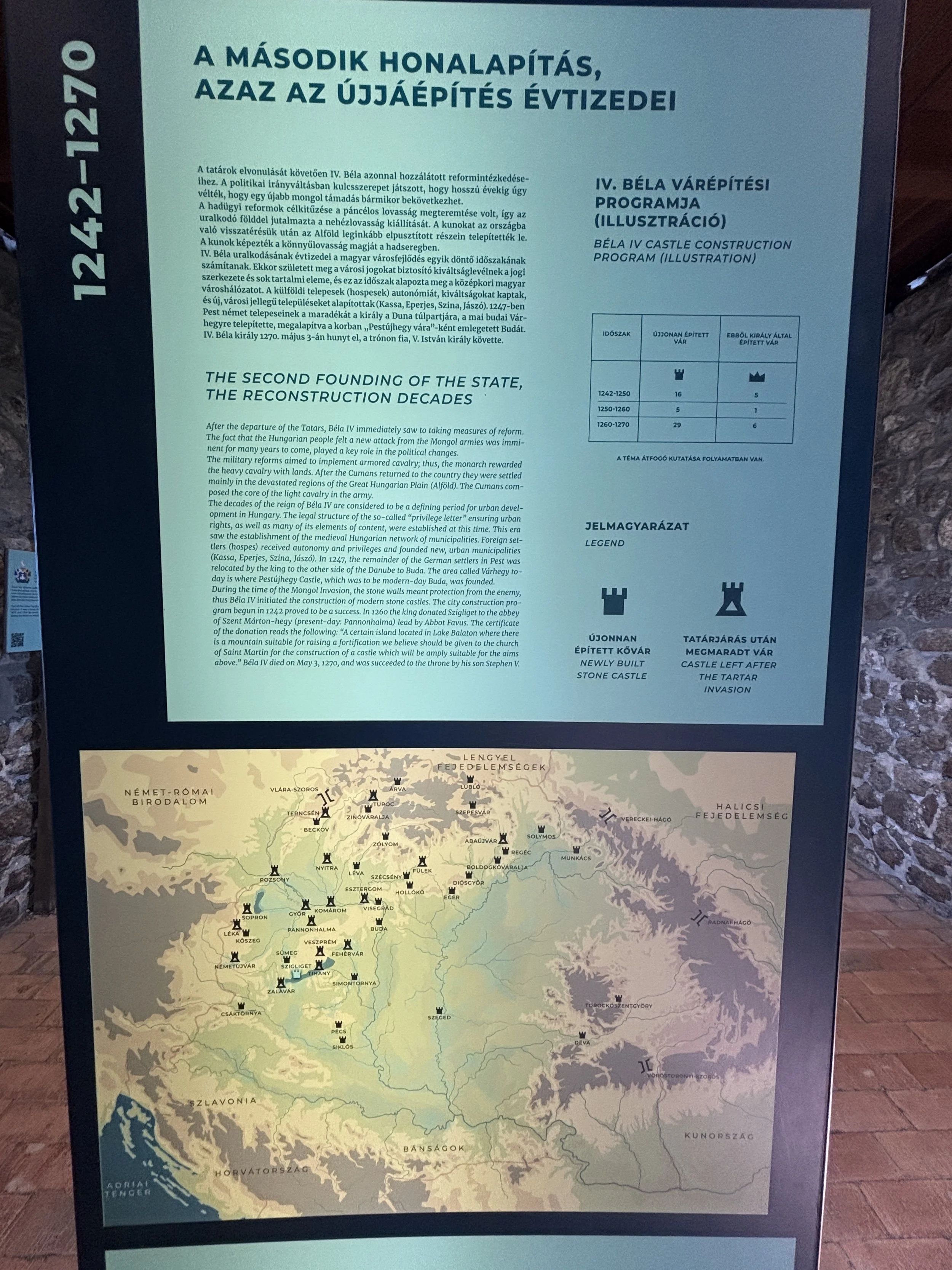
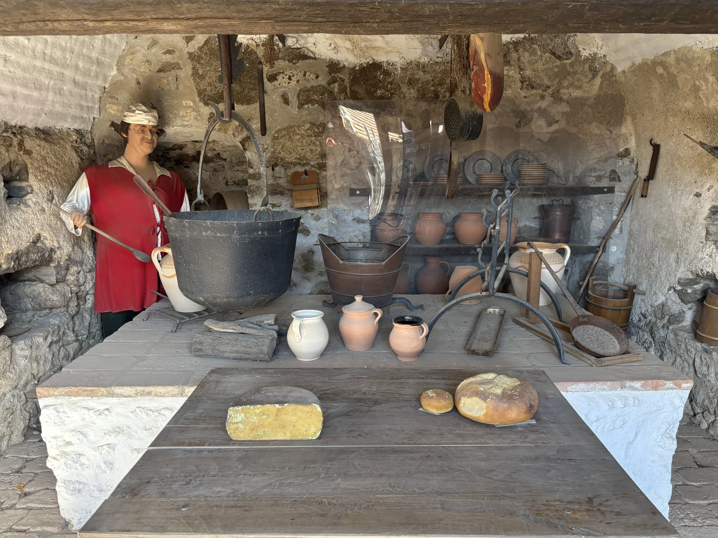
The exhibitions at the castle explain this period in great detail, covering both the military side and the more mundane aspects of everyday life. There are also several dioramas and maps that help you picture what the castle would have looked like in its heyday.
Lake Héviz
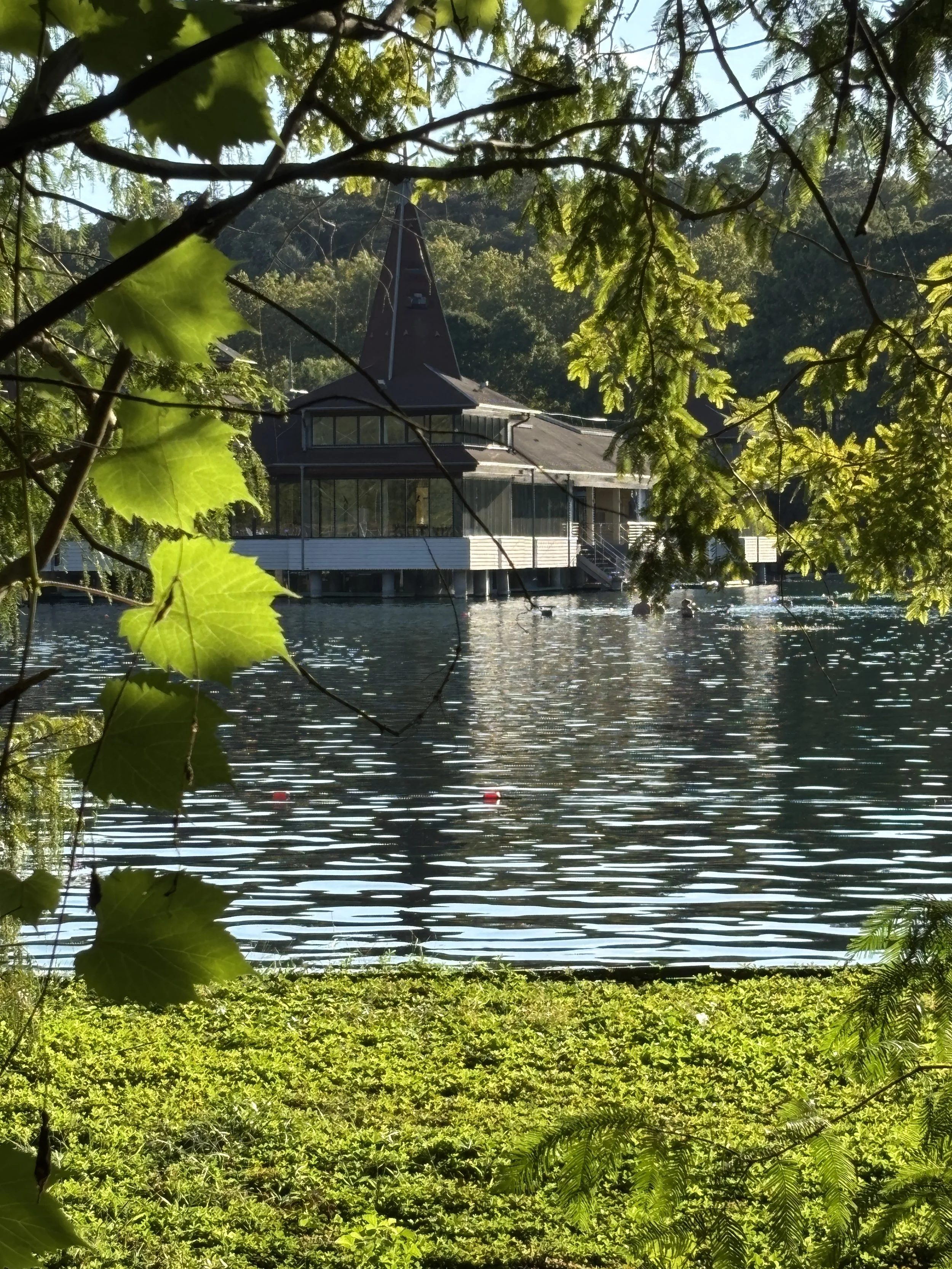
This being Hungary, this post would not be complete without some reference to baths and thermal water. And it you are in the Balaton area, the place for this is Lake Héviz, at the western edge of Lake Balaton.
Lake Héviz is the largest swimmable natural thermal lake in the world, covering 4.4 hectares. It is fed by a natural spring which comes out of an underground cave, with its mineral-rich water staying warm throughout the year (23–26°C in winter and 33–36°C in summer).
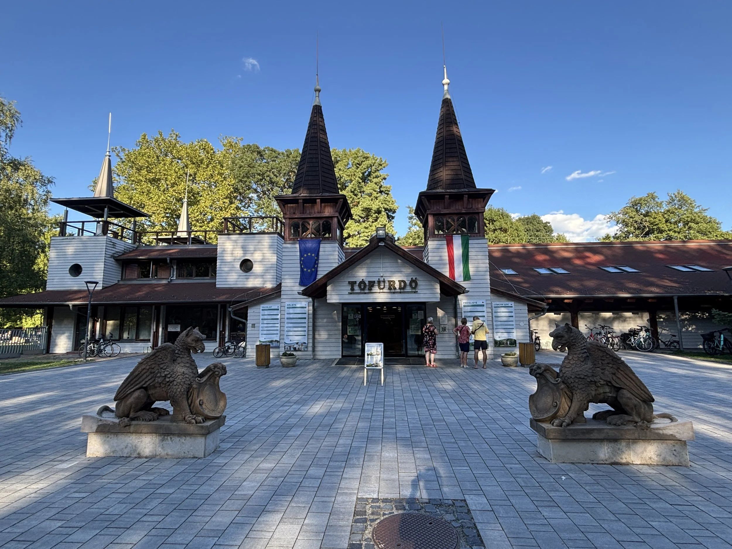
In 1795 a bath house was built next to the lake and, since then, Lake Héviz has grown into a major spa destination and a medical center, with a rheumatology hospital and also several hotels adjacent to it.
At the time of writing these lines, in September 2026, the main spa building, with its above-water structure in the center of the lake, is closed while it awaits a major renovation. It is still possible to bathe in the lake, although there is an entrance fee (standard rate for 3-hour admission is 4500 Forint or €12/$14 approximately).
Apparently, the whole spa area is going to be renovated, but the time-frame for this and the final design are not yet clear.
In any case, if passing by Lake Hévitz on your Balaton trip, a bathing stop could be a nice experience!
By the way, a practical tip: there is a large parking lot opposite the baths on the other side of the main road.
Balaton’s southern shore
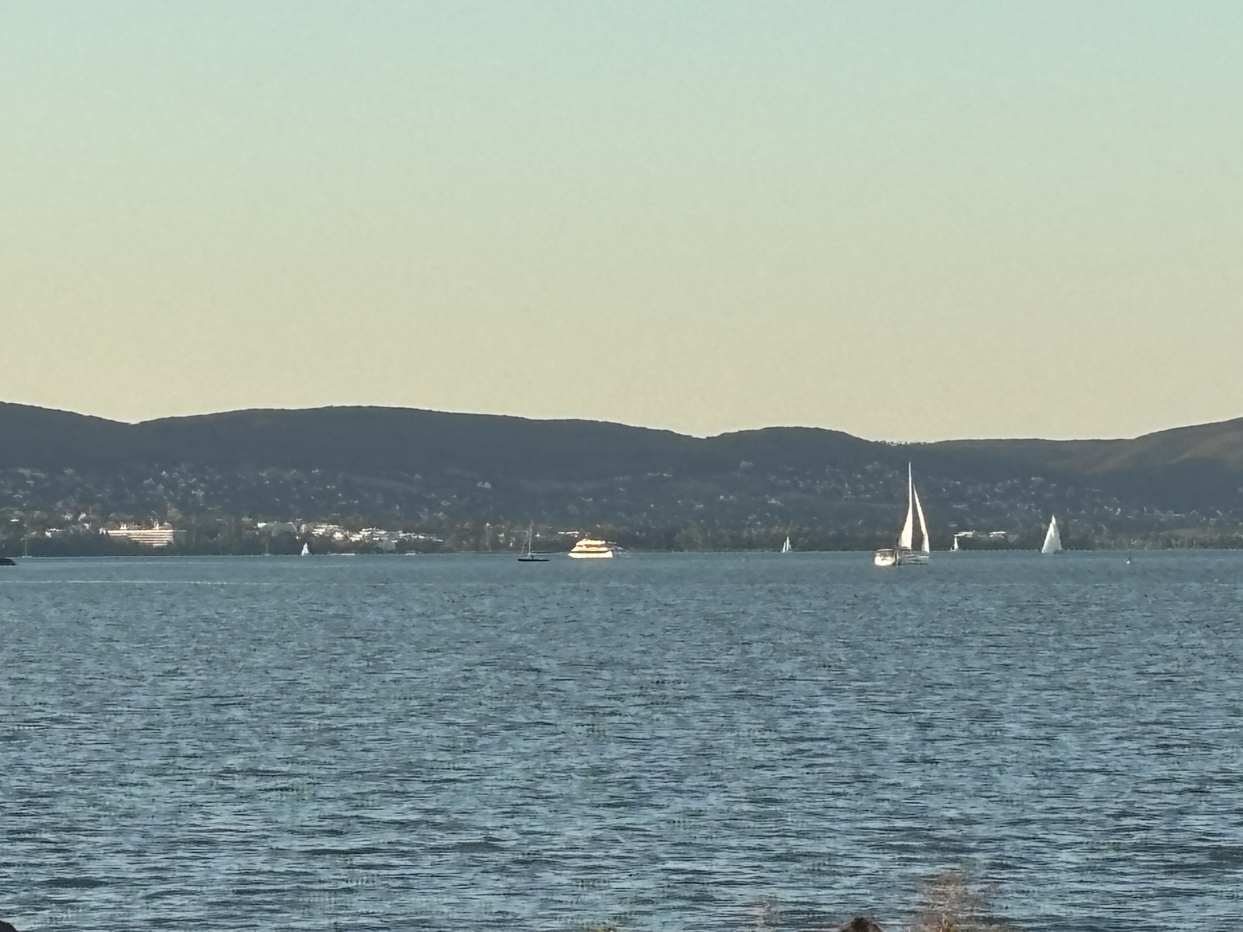
My drive along the southern side of Lake Balaton was done at lightning speed, since it was getting late. Nevertheless, I didn’t pass the opportunity of looking across the lake to the Tihany Peninsula, which have seen earlier.
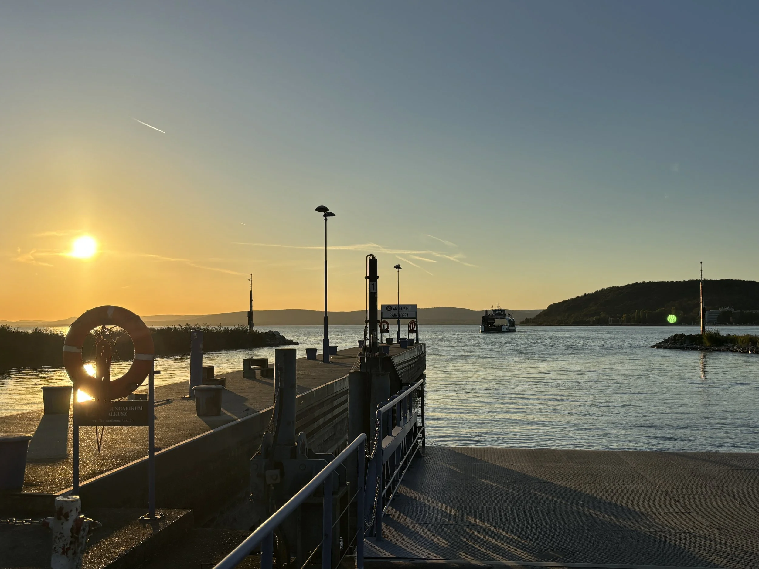
If you don’t wish to drive all around the lake, there is a car-carrying ferry service which runs between Tihany and Szántód, right at the point in which the lake is at its narrowest.
Here are the views from the south side. I must say, I was expecting the Tihany Abbey to be more clearly visible from the other shore! In any case, it was interesting to see the lake from the other shore before returning to Budapest!
48 hours in Wroclaw: what to do and what to see
What you will find in this article:
Historical introduction to Wroclaw
What to see in Wroclaw’s historical center
Rynek
Plac Solny
St. Elizabeth’s Basilica
Jatki Street
University of Wroclaw
St. Matthias Church and Ossolineum
What to see around Plac Wolności
Ostrow Tumski
Wroclaw’s dwarf statues
Hala Targowa (Market Hall)
Racławice Panorama
Hydropolis
Centennial Park
Wroclaw at night: Neon Gallery
How to move around Wroclaw
Three great restaurants in Wroclaw
Three recommended hotels in Wroclaw
A bit of history before visiting Wroclaw
Saying Wrocław has had a complicated history is an understatement.
Today, Wroclaw is Poland's third-largest city as well as the capital of Lower Silesia, part of a historical region that has changed hands many times over the centuries.
Originally a Polish settlement, in the Middle Ages, the city later passed to Bohemian (Czech) hands , then was part of the Habsburg Empire, until Prussia (the kernel of what later became Germany) took it over in 1741. For a large part of its history, Wroclaw was actually a majority German-speaking city and was known as Breslau.
By the way, about this particularly point and for the sake of clarity and consistency, I'll use the city's Polish name throughout this piece, even when referring to events or sites that are linked to the city’s German period.
Wroclaw eventually became again a Polish city after the end of the Second World War, as the Allies assigned it to Poland in compensation for the transfer of other territories in the east of Poland to the Soviet Union. So, in 1945, the city’s German population was either expelled or left, to be replaced by Poles, which in great part been themselves also displaced from the former eastern territories.
But since most of what visitor’s come to see in Wroclaw’s historical center today dates back from a few centuries earlier, it may be best to start with a brief summary of the origins of the city.
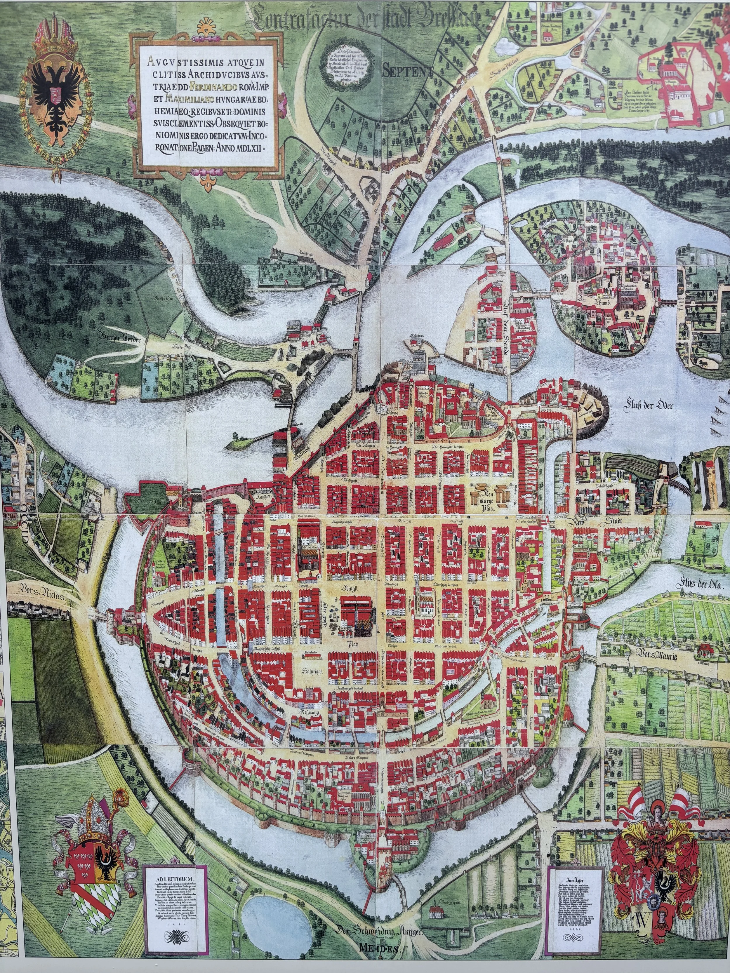
Wrocław grew up on the banks of the Odra (Oder) river, at a very strategic crossroad which linked an Ancient route linking the Baltic to the Mediterranean to what came to be known as “Via Regia”, which was another major axis of communication going linking west to east, the Germanic and Slavic parts of Europe.
The first settlement in what is now Wroclaw started on Ostrów Tumski, an island at the time (not anymore) located next to a river crossing. From there it spilt over to the south bank of the Odra, where most of the historical center of Wroclaw is now. Later, in the early modern times, the city was given a fortified enceinte, complete with bastions and a moat (this is now a boulevard which runs all along the historical center as a garden ring).
It would be a mistake to leave it at that, though, because some of the most interesting periods in Wroclaw’s history have been in the last couple of centuries. With the advent of the industrial era, Wrocław and the wider Silesia region, became one of the major manufacturing centers of the German-speaking world and left also a notable cultural and architectural legacy.
Perhaps the most traumatic chapter in the city's history, at least since the Mongol invasion of 1241, was the Second World War. In August 1944, with the Red Army advancing, Hitler declared the city a fortress. “Festung Breslau” was to be defended to the last man. And it very nearly was: even if it ended up completely encircled by Soviet troops, the German garrison held out until May 6, 1945, several days after the fall of Berlin.
Fortunately, while the destruction was extensive, part of city’s heritage miraculously survived the war (much of what didn’t was later reconstructed after the war, as it happened also in Gdansk, for example).
After the four decades of communist rule that followed, Wrocław has found new energy and emerged as one of the growth hubs of a booming Poland. This post focuses on the city's top sights, but on this trip I also met with several companies and people from the local business community, and the optimism was palpable. That youthful, energetic mood is just as easy to feel walking through the streets. So, let's look at the best things to see in Wrocław!
This post may contain affiliate links. If you book or buy something through them, I earn a small commission, at no extra cost to you. It's one of the ways I keep Places of Charm going. Thank you for your support.
This post was written after a visit to Poland supported by the Warsaw Enterprise Institute with the collaboration of the city of Wroclaw. Many thanks also to Wojtek for guiding me through parts of the city!
What to see in the historical center of Wroclaw
Rynek
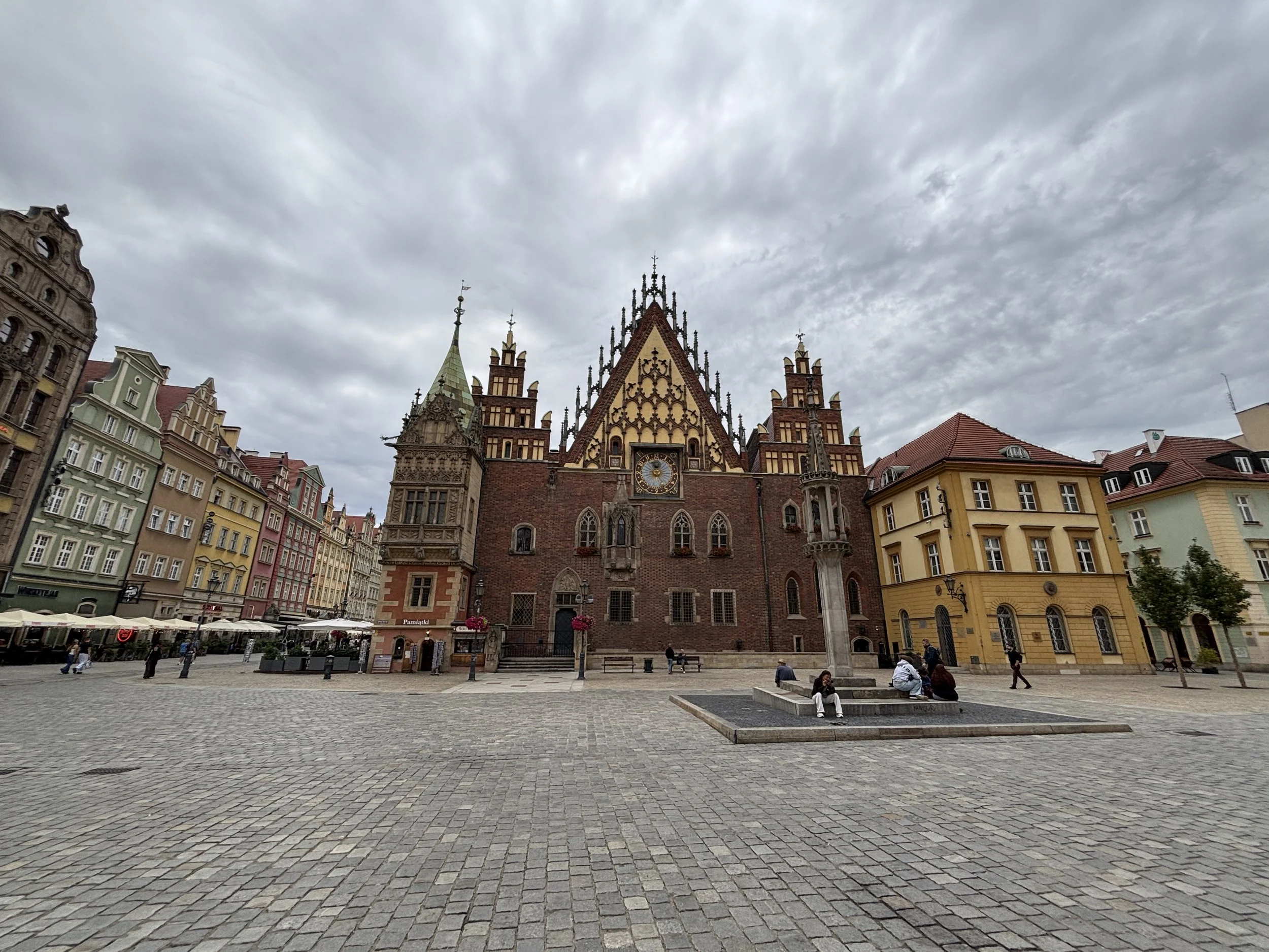
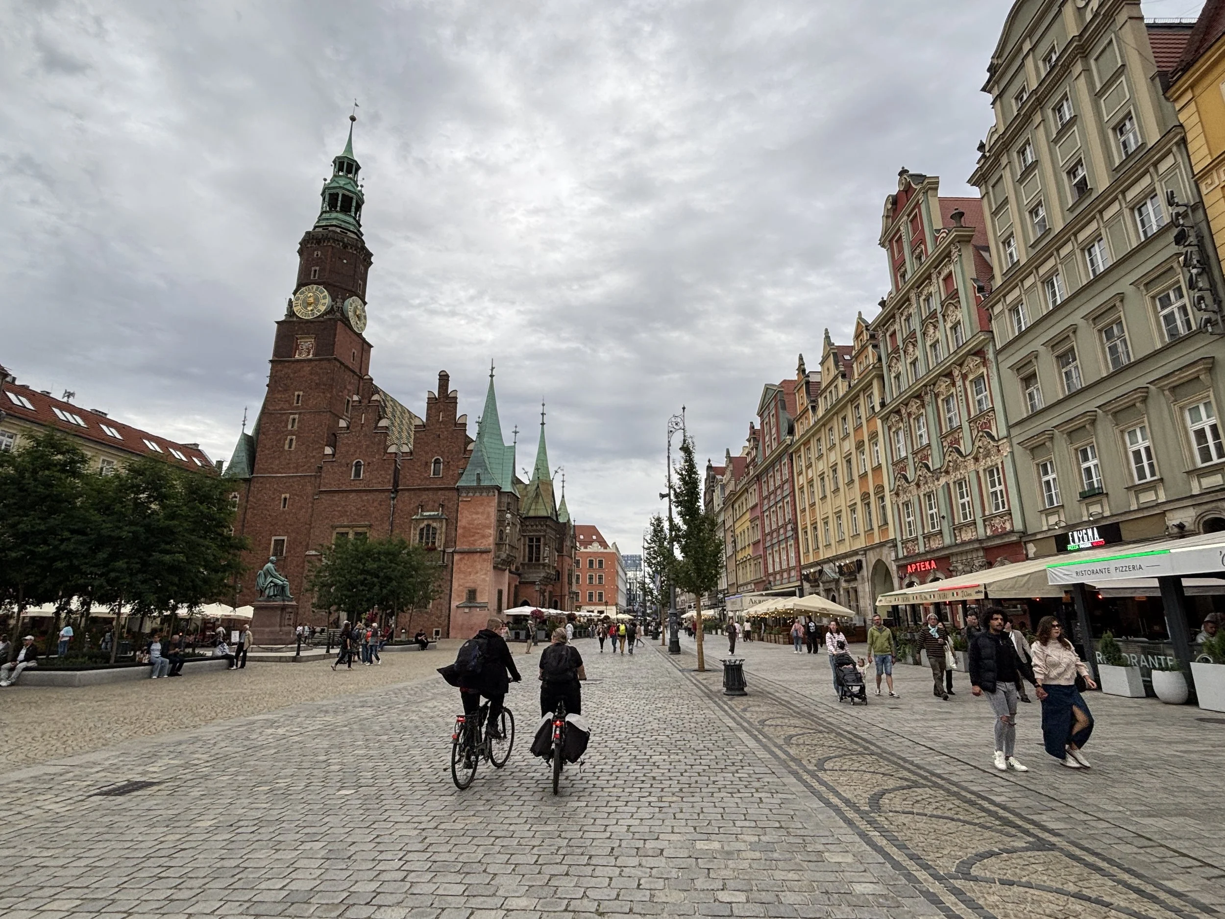
Dating back to 13th C., Rynek is the neuralgic center of Wroclaw’s historical town and the one place that many visitors head to first. Rynek is a large square, so large in fact, that it has a whole set of buildings at its center, the old and new town halls.
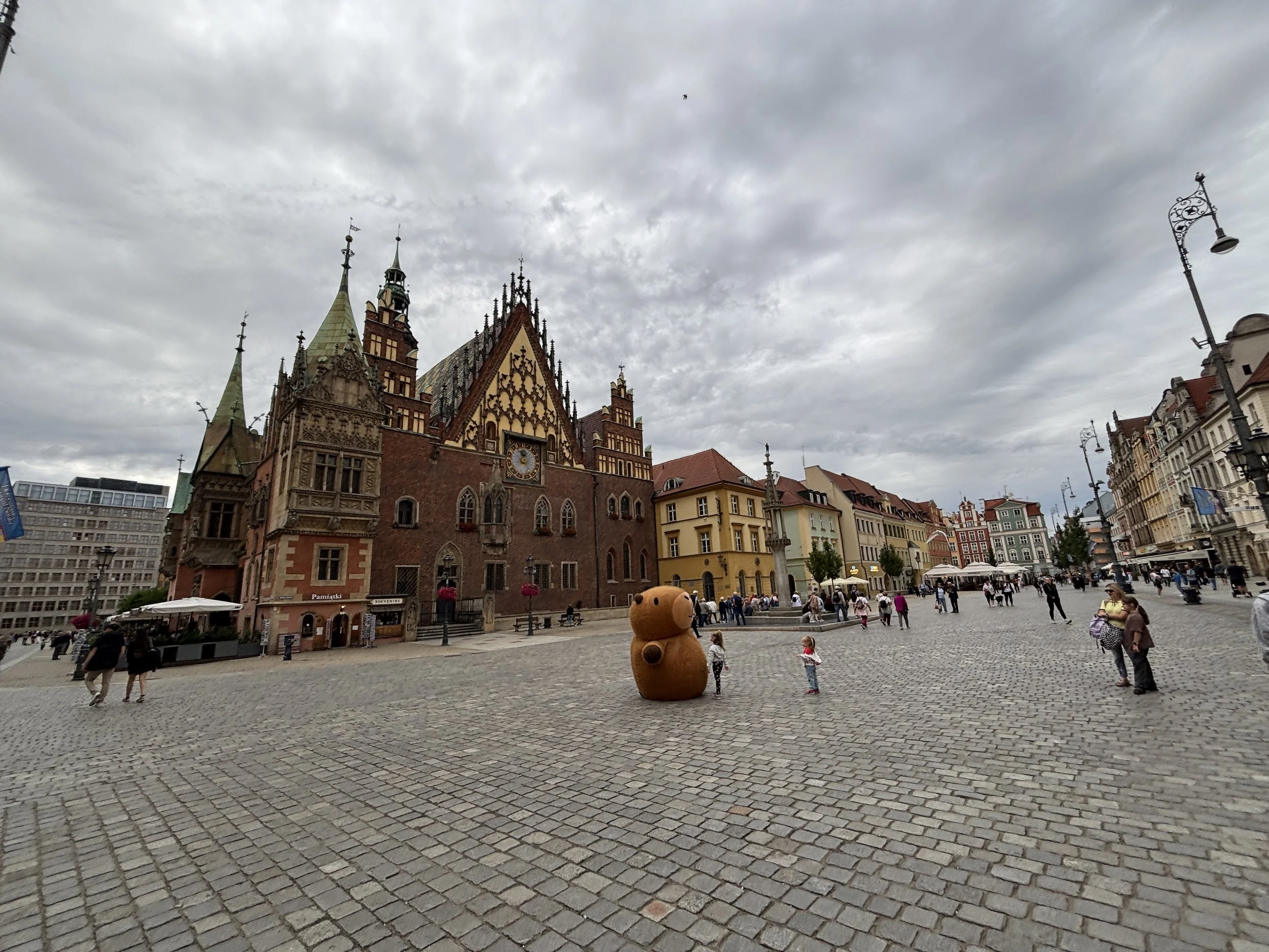
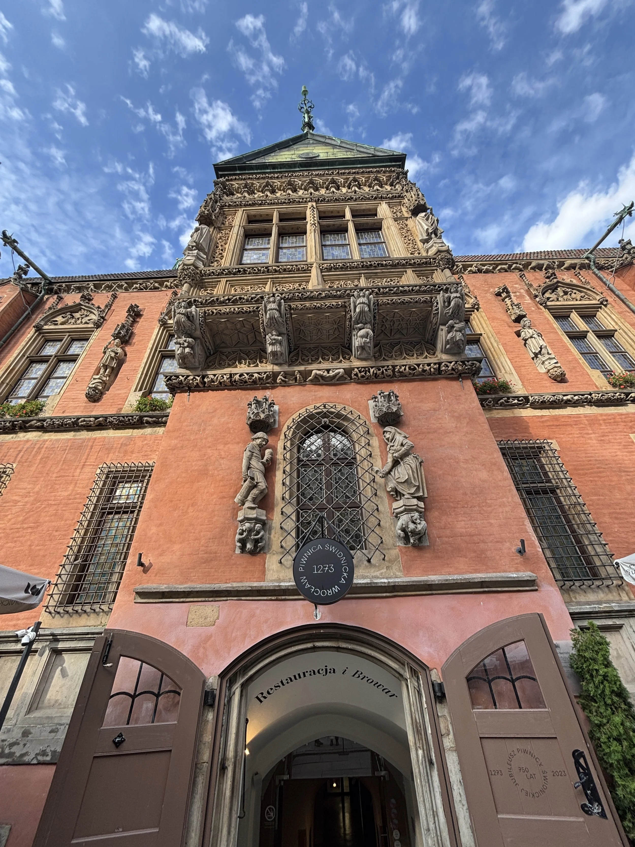
You maybe forgiven for mistaking Wroclaw’s Old Town Hall for a church. However, not only it’s not a religious building, but it also has one of Europe’s oldest artisan breweries (“Piwnica Świdnicka”, dating back to the 1273 AD) in its basement!
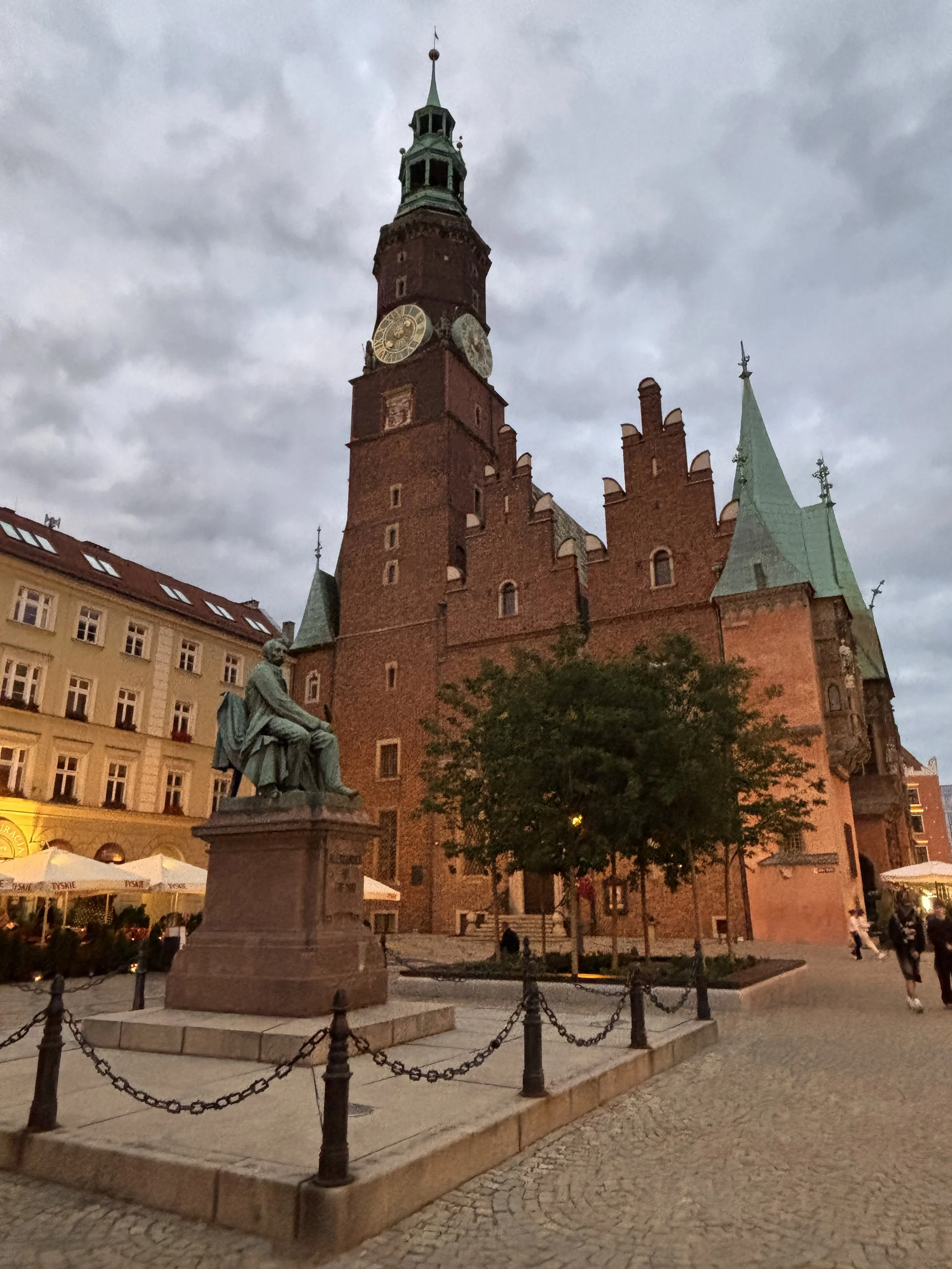
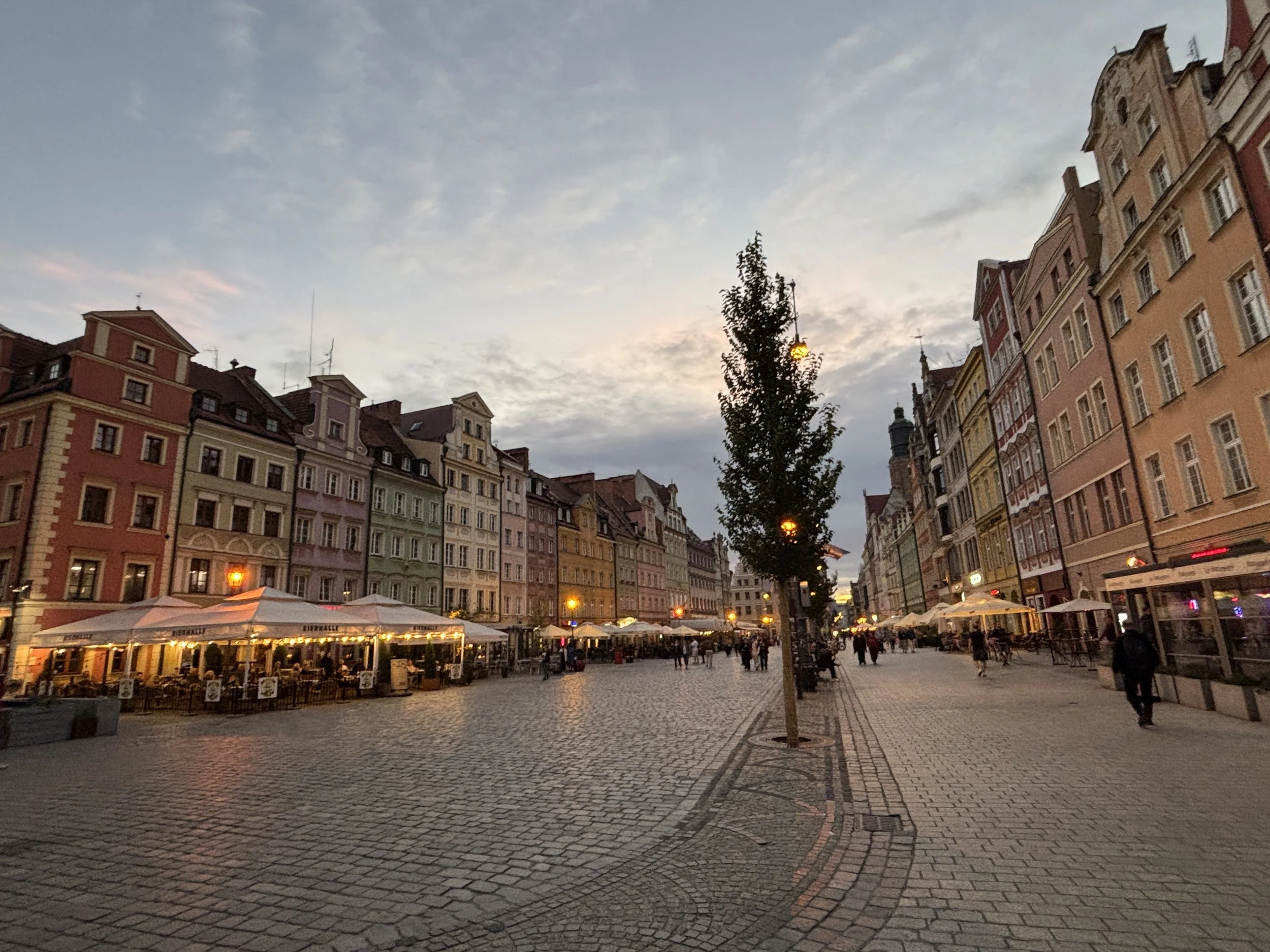
When at Rynek, take your time to walk all around the square, since all four sides are lined with colourful houses built in the traditional Central European style (as previously mentioned, many of them were reconstructed or restored after the war, but still…!)
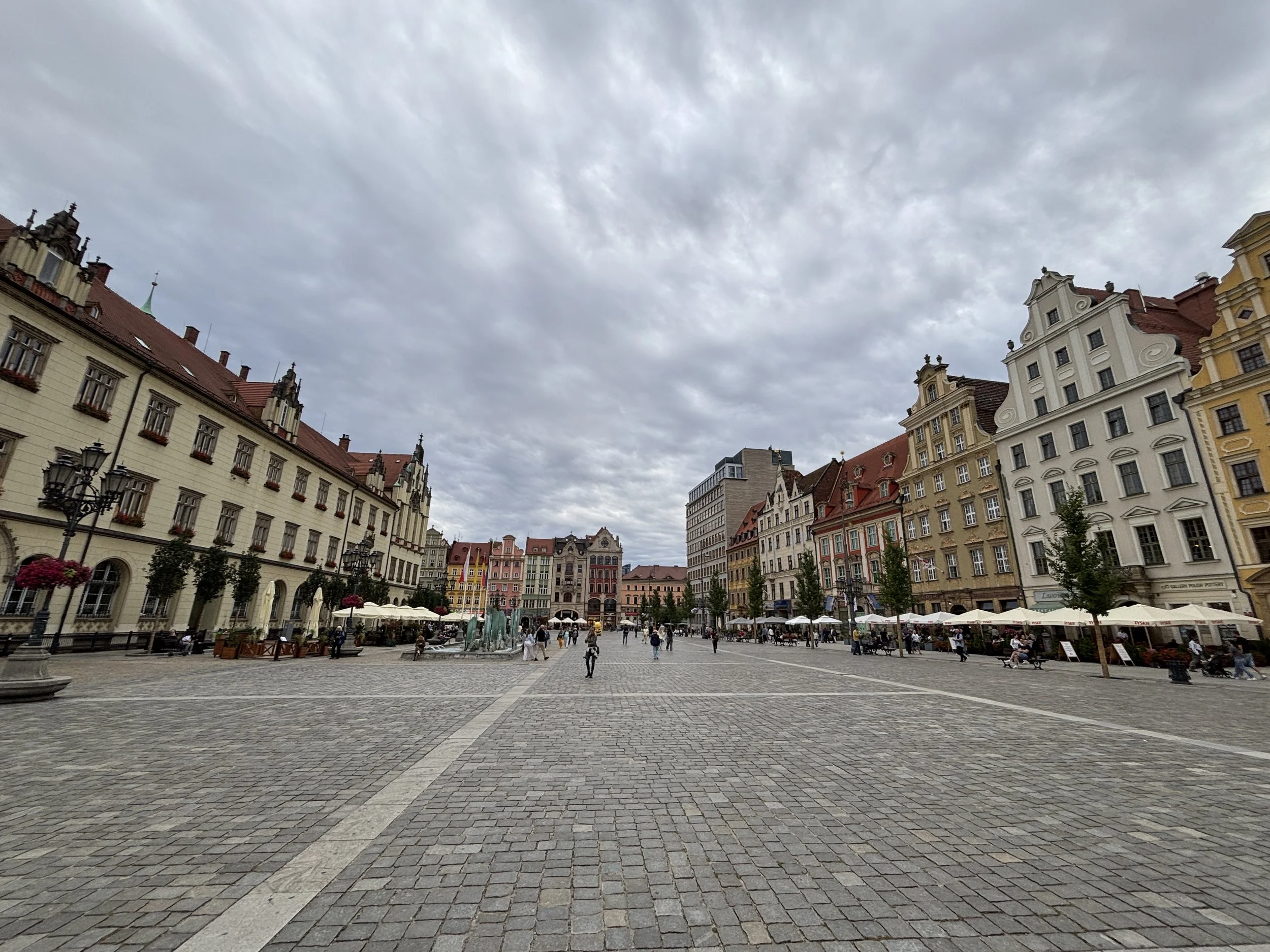
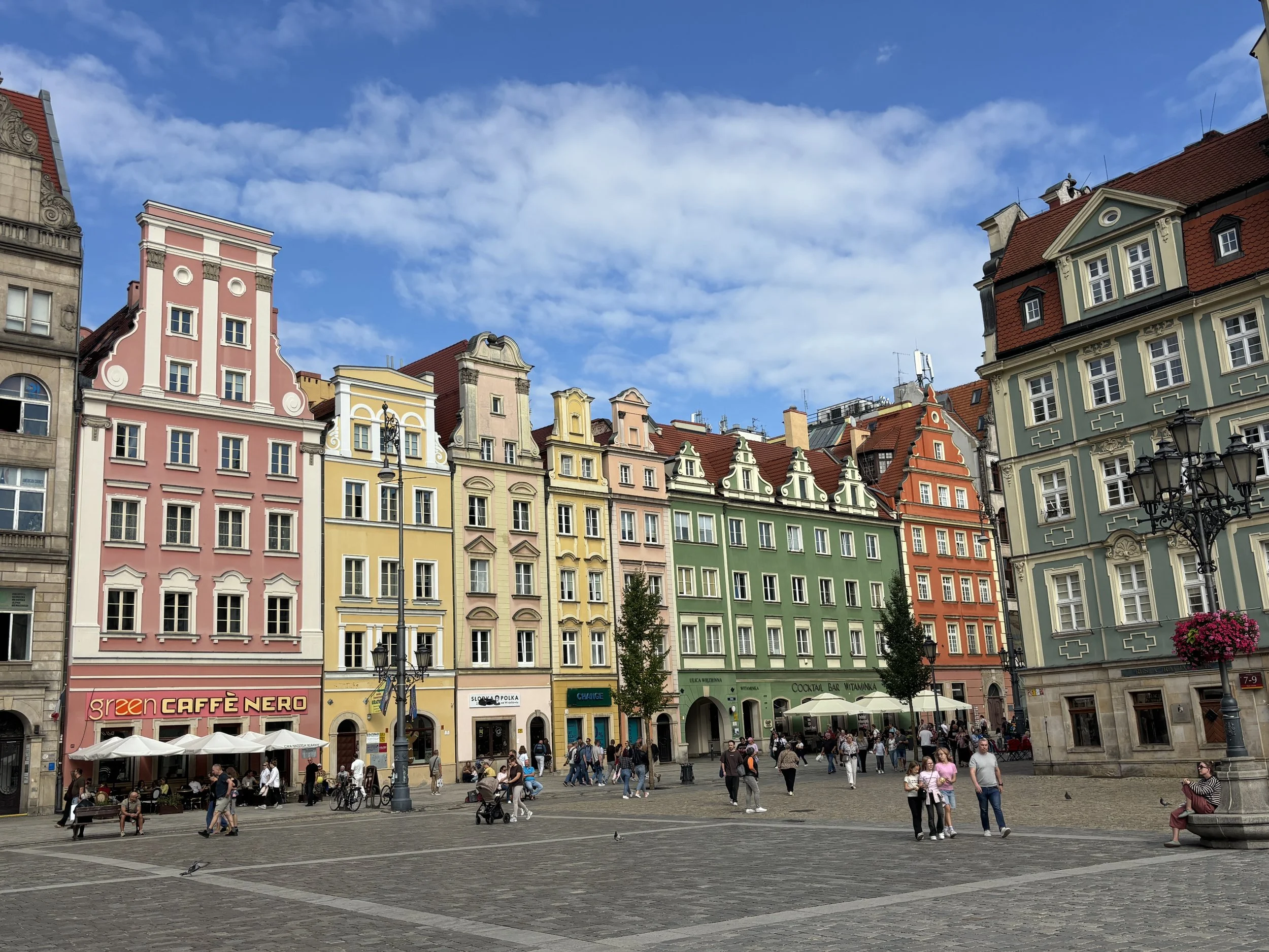
Rynek is buzzing with activity at all times, since, besides being a beautiful and harmonious architectural this is a very commercial area, with plenty of shops, bars and restaurants. In Winter, one of Europe’s largest Christmas Markets takes over the four sides of the square.
Btw, it is hard to imagine nowadays, but until 1997, Rynek was opened to tram and road traffic and cars parked all over the place.
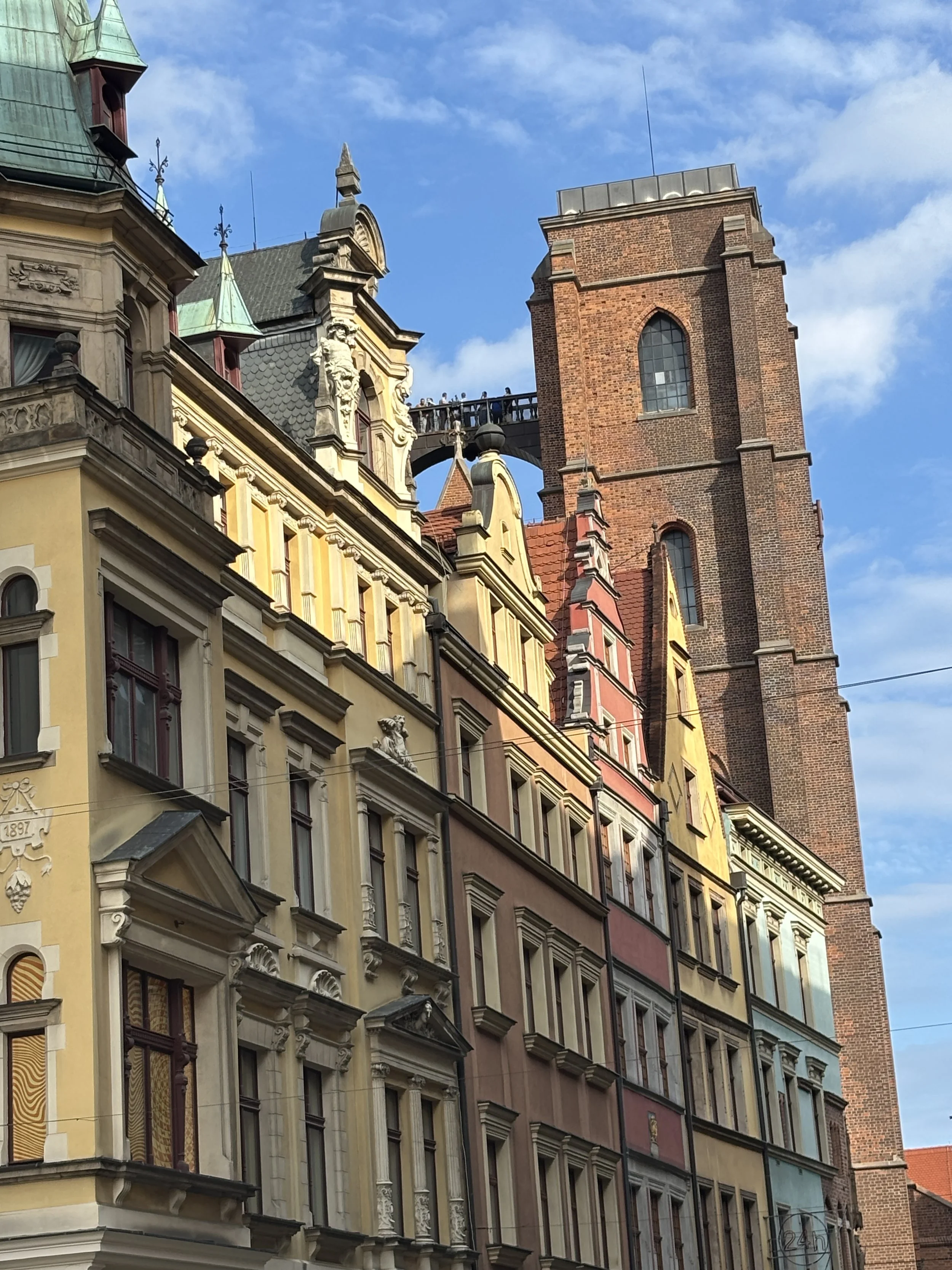
From Rynek you can also see the church of Mary Magdalene, which has, in its Bridge of Penitents (picture below right) one of the best viewpoints of the old town (I didn’t climb to it, though!)
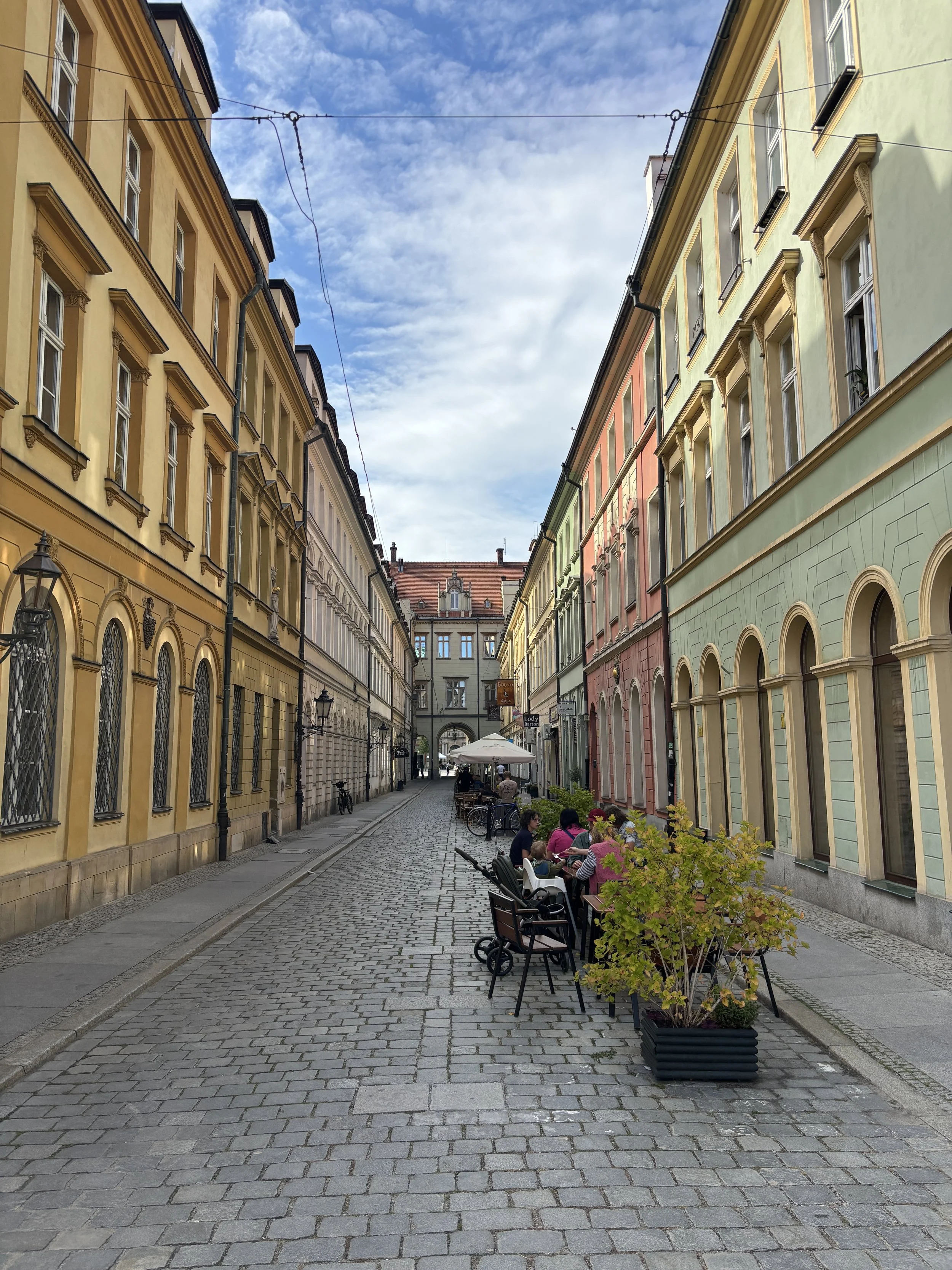
What else to see around Rynek:
Plac Solny (Salt Square)
This is another beautiful square with located just some meters away from Rynek. It’s name derives from the fact that for a long time this was a place where merchants came to sell salt from the mines of southern Poland.
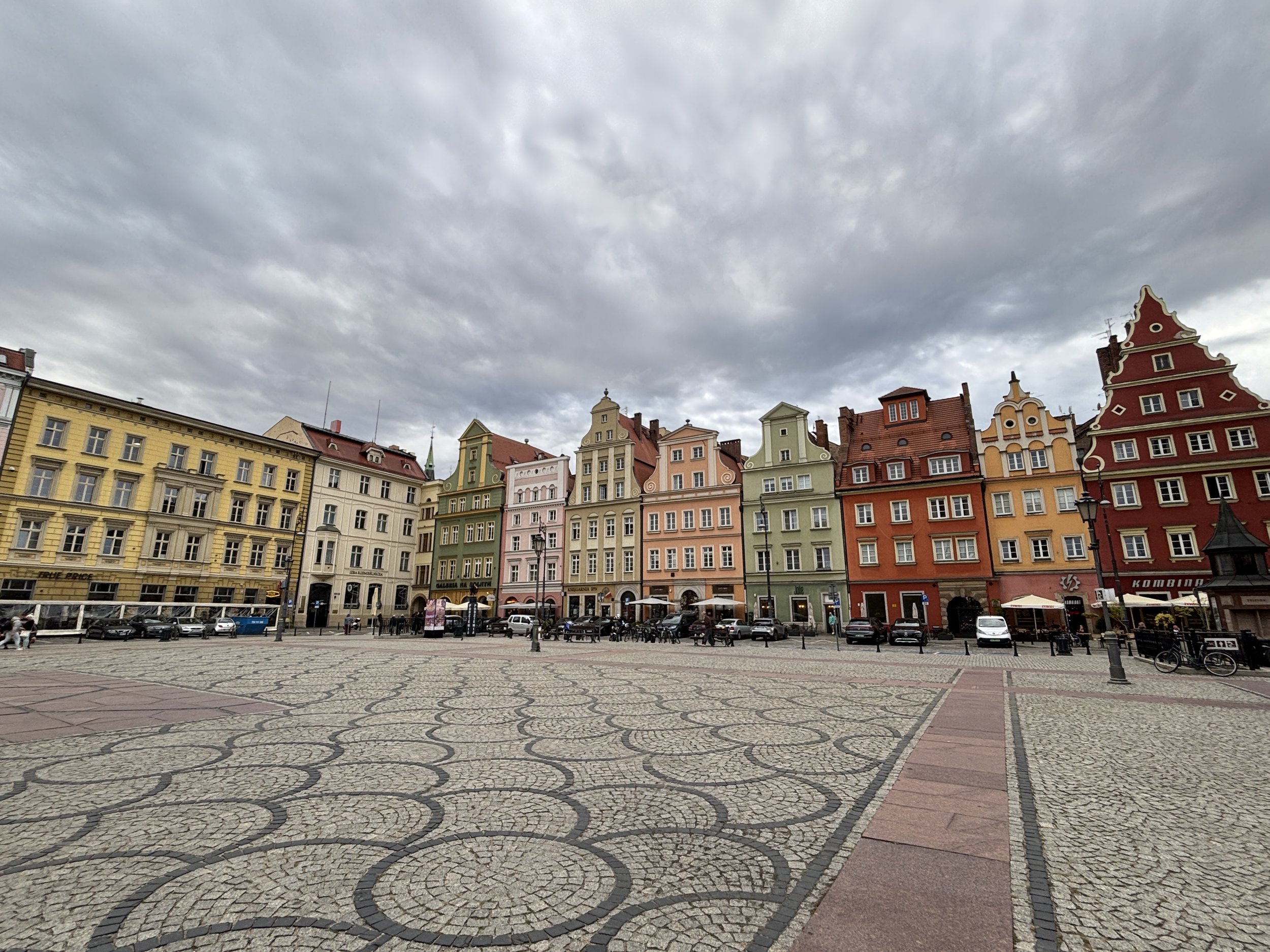
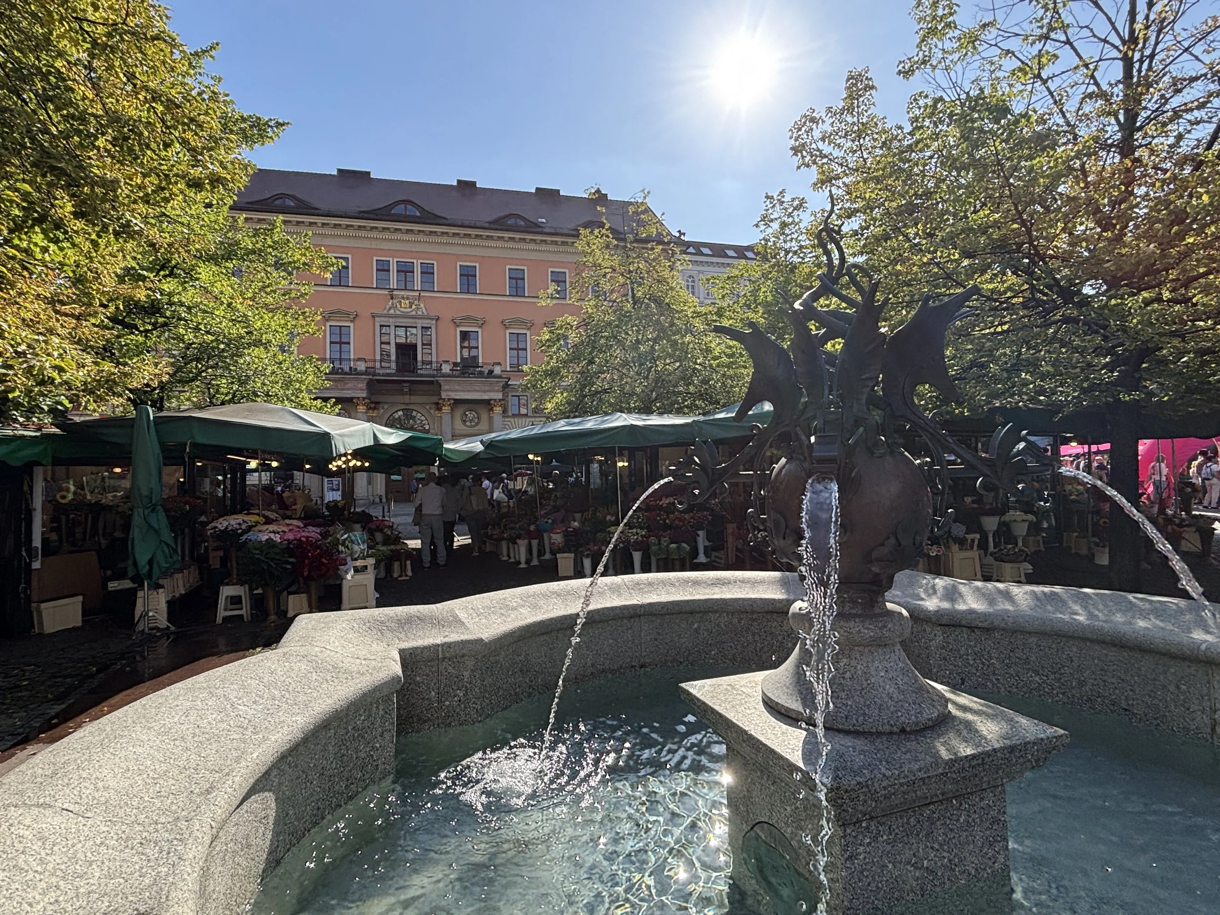
Besides its beautiful mosaic-like pavement and historical buildings, Plac Solny has hosts also a flower market that is open 24 hours!
Saint Elizabeth’s Basilica
This is one of Wroclaw’s main churches and, as its belfry towers over Rynek, it is easy to think this is actually the city’s cathedral (which is actually located on Ostrow Tumski).
Saint Elizabeth’s Basilica tower is open to visitors and provides another magnificent view point over Wroclaw’s old town, but I will have to leave that part to your imagination, because unfortunately I didn’t have Zlotys in my pocket when I showed up right before its closing time at 6pm (It costs around €10 but they only take cash, no cards accepted!).
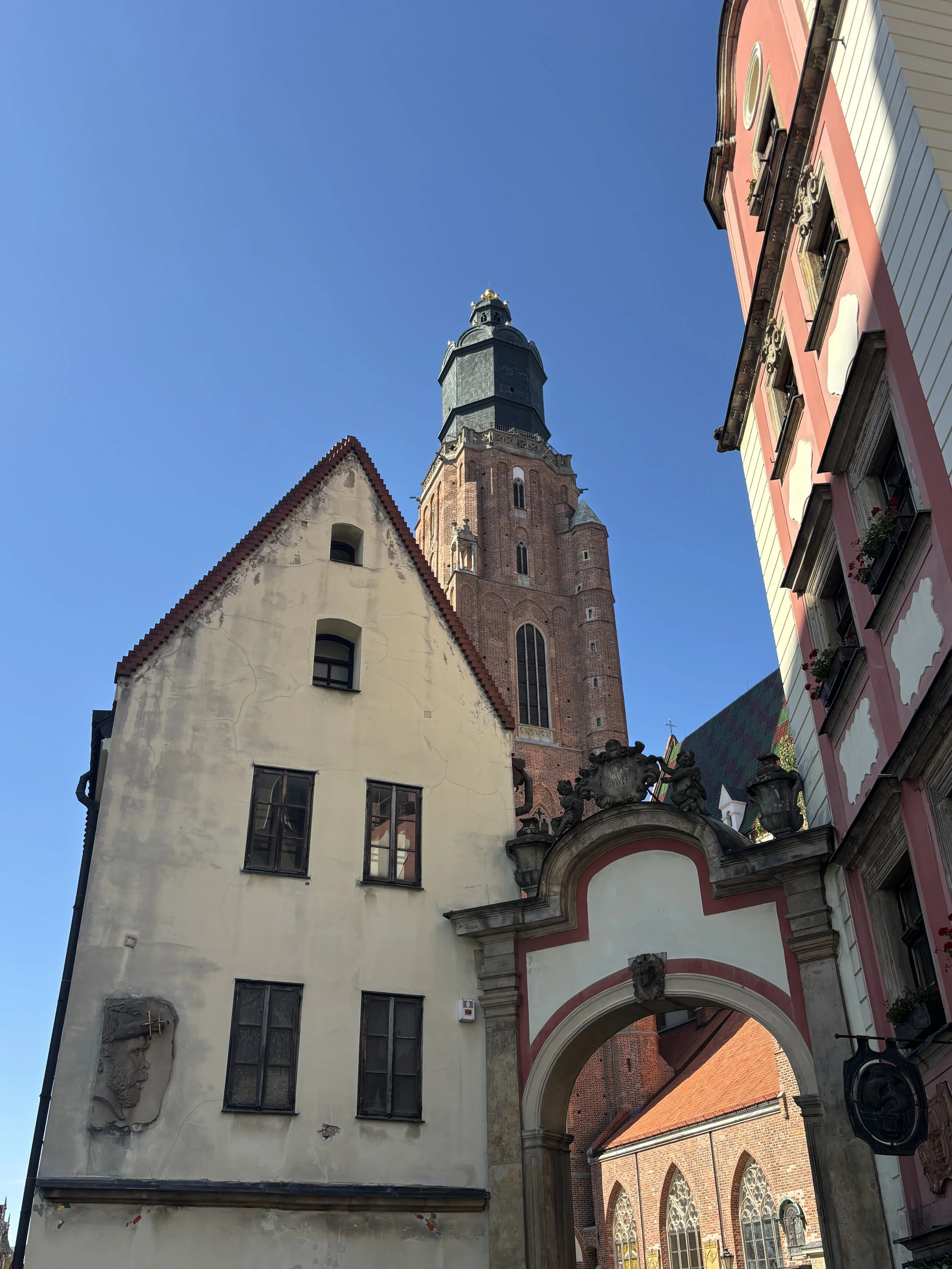
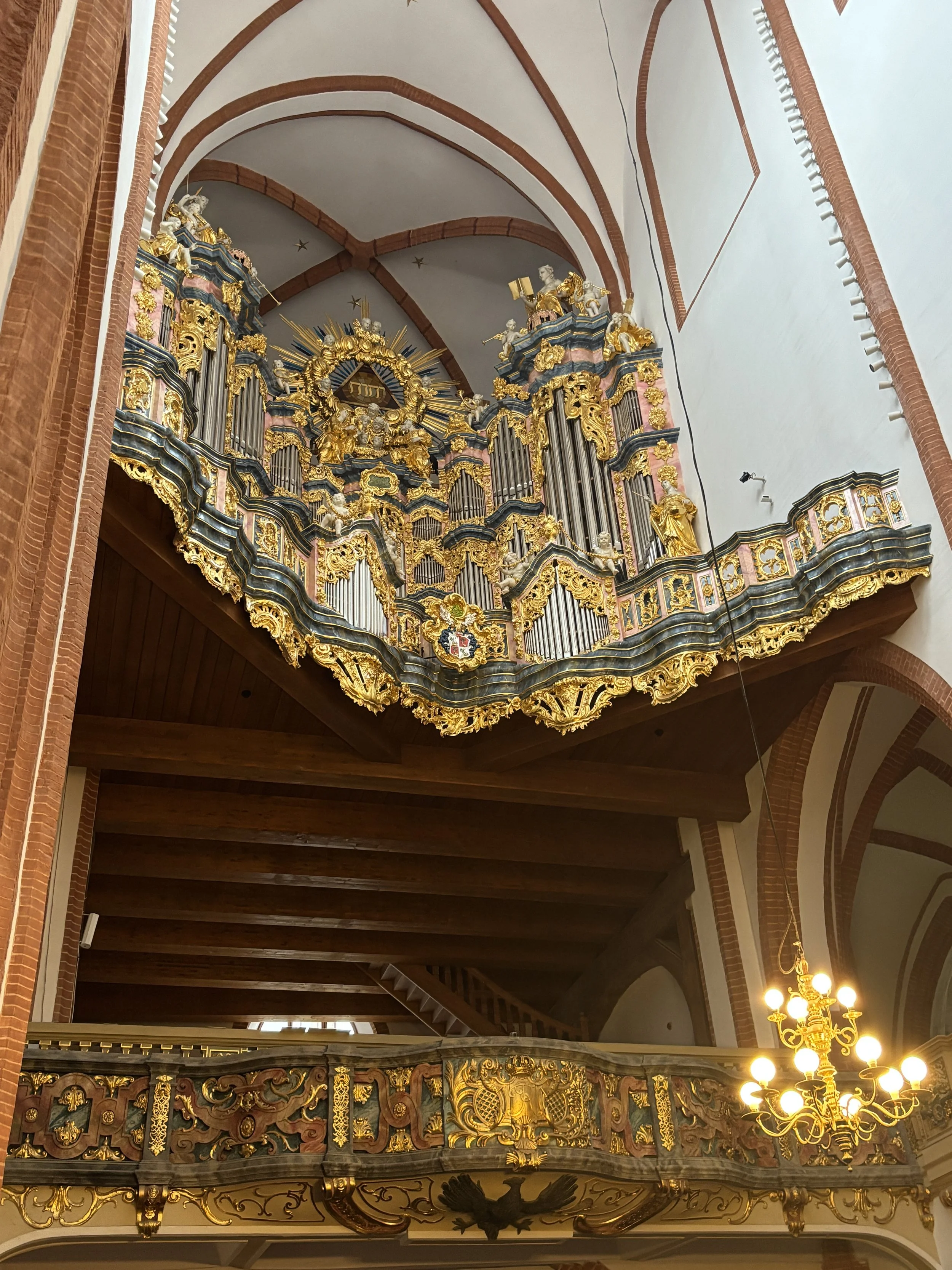
Even if you don’t climb up its tower, Saint Elizabeth’s Basilica has a very interesting story and plenty of interesting details to check.
In fact, the story of this church mimics in some way that of the city itself when it comes to the different changes it has gone through. It was originally a Catholic church, then it became Lutheran after the Reformation, and after WW2 it became Catholic again.
The original spire collapsed in 1529, just four years after it had switch its allegiance to the Reformation. Catholics used that event to suggest it may have been a Divine signal. In response, Protestants alleged that the spire had been carried by angels and, when the spire was rebuilt in the mid-1530s, they put a bass-relief depicting the alleged scene.
The church was thoroughly destroyed in the 20th C., not in the war, but in a fire that broke out in 1976. That fire also destroyed an artistic treasure, a magnificent 18th C. organ, known as the “Engler organ”. This was rebuilt according to the original specifications, between 2011 and 2022, and today it can be seen at one end of the nave.
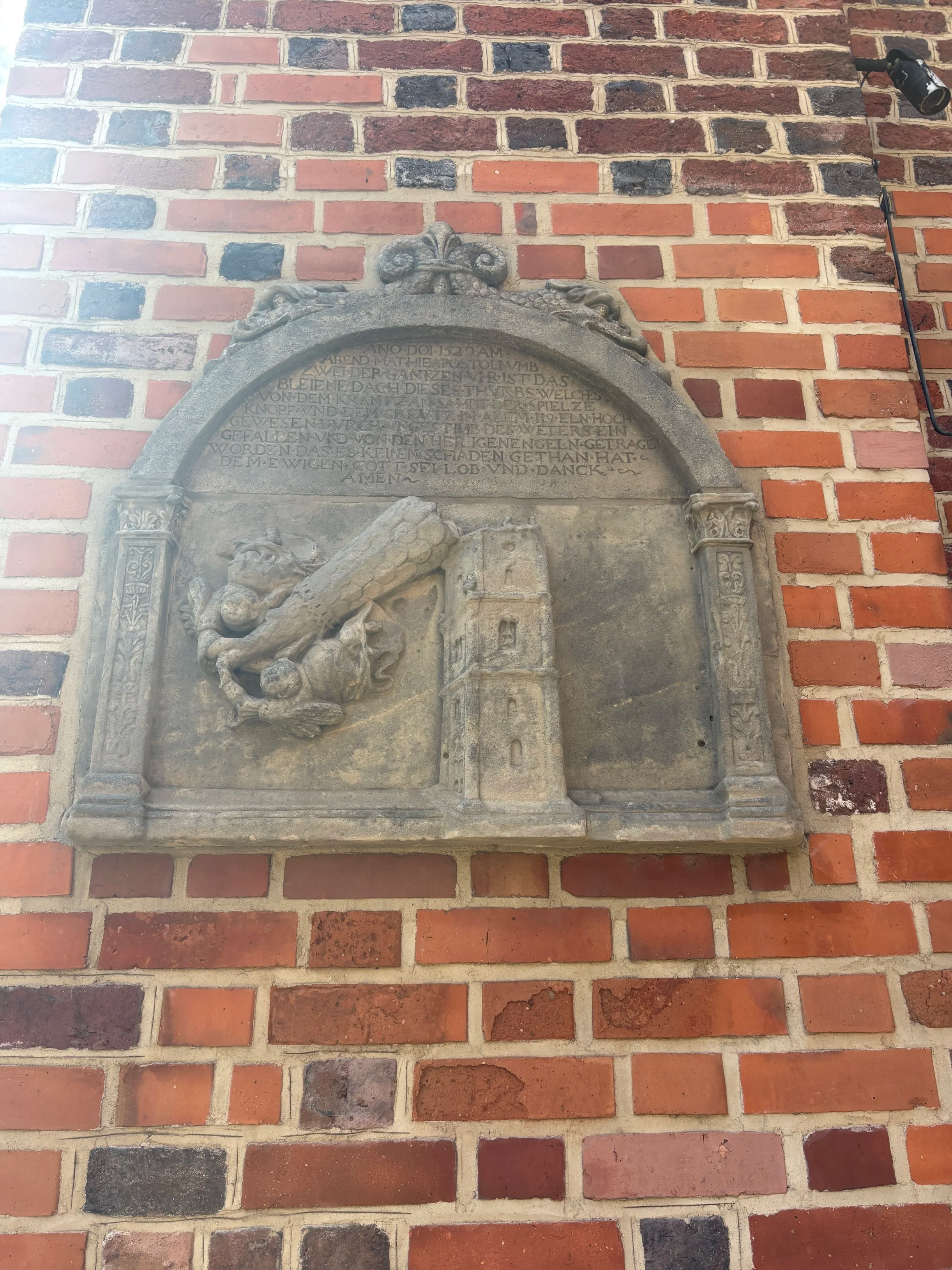
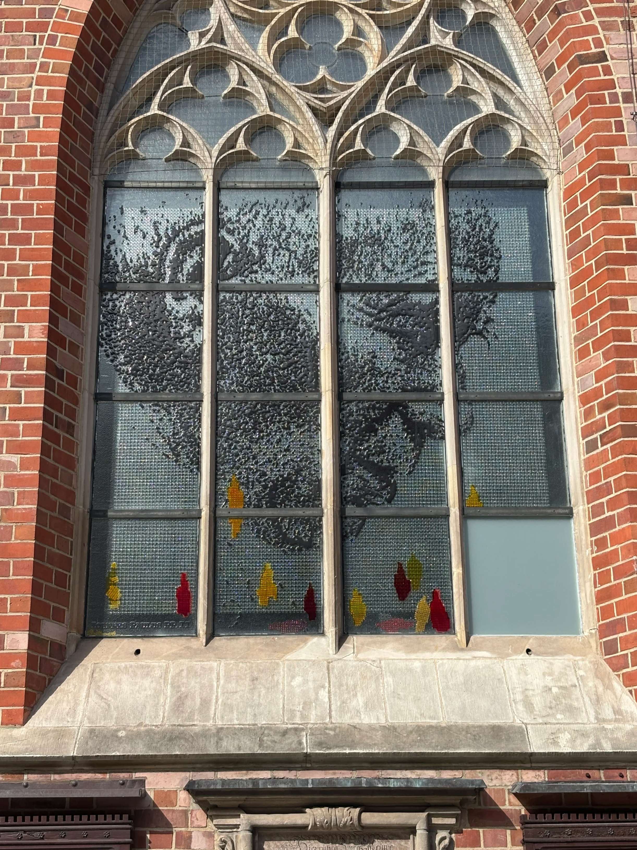
Wroclaw had traditionally had a stained glass industry and while this is today a rather niche activity, there is still a school in the city for those that wish to train in this art. Saint Elizabeth’s Basilica has got its fair share of stained glass, including this one shown here, which depicts the late Pope John Paul II, who visited the church during his pontificate.
Jatki Street
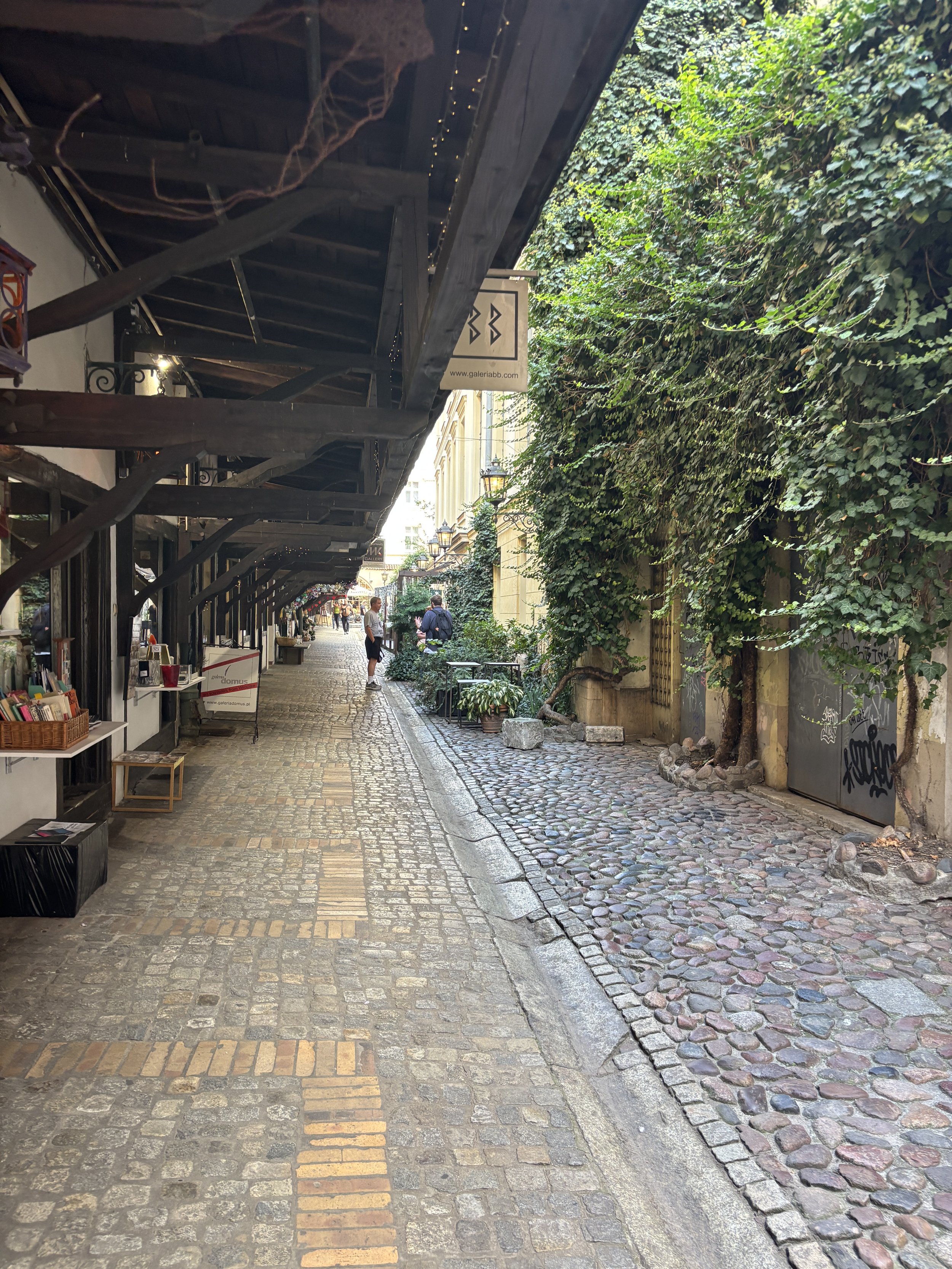
This is a narrow street just north of Rynek, where butchers used to have their stalls and sell their produce. Today you will find artisan shops instead, at this spot.
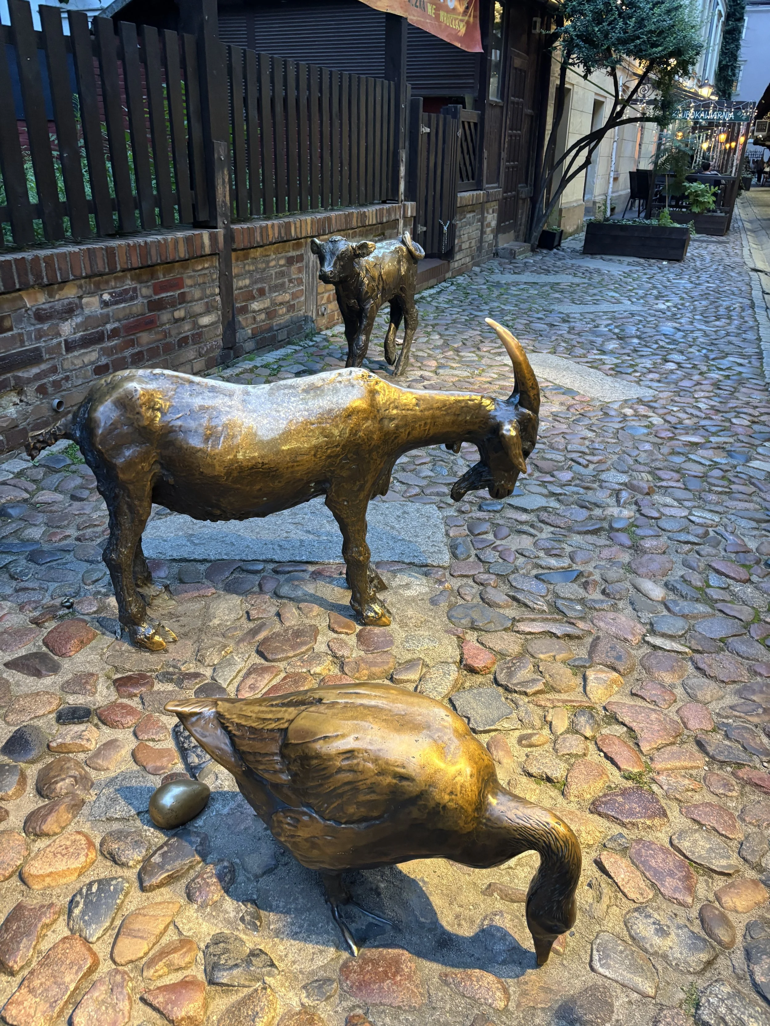
However, a set of sculptures which depict the different animals man the meat of which man eats, act as a reminder of the street’s past role. And from what I could see, they are also a magnet for tourists, particularly children, who like to take pictures with them.
University of Wrocław
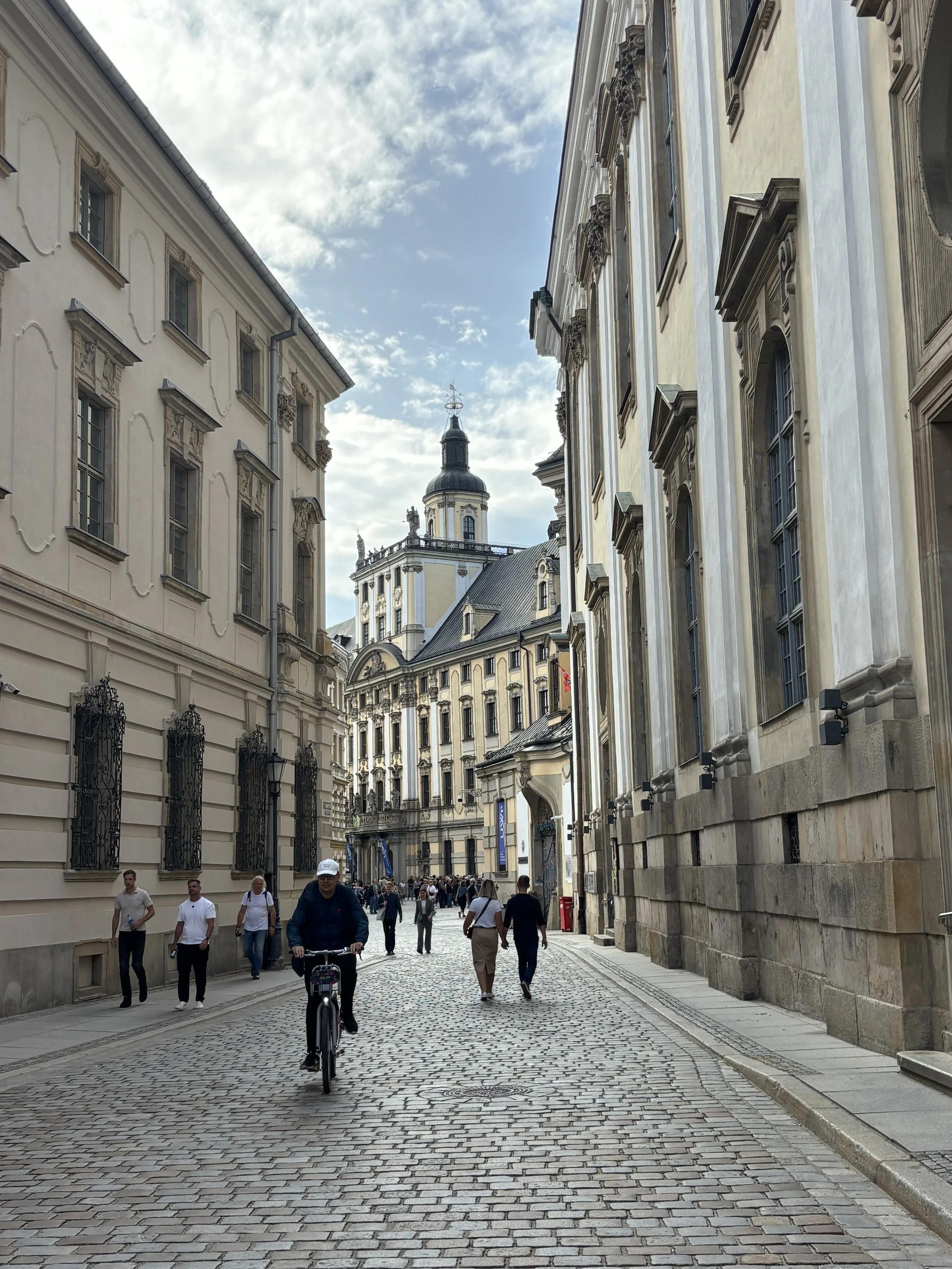
The University of Wroclaw is one of the city’s most majestic buildings and a recommended stop in any itinerary through the city. Besides its grand facades, both facing the inner town and the river, it has also a couple of interesting sites indoors within its grounds.
One of them is the heavily ornate Aula Leopoldina. I didn’t have time to see it for myself, but you can check here how it looks like. Btw, you can also book entry tickets with audioguide included online.
The other is the Oratorium Marianum, which is used as a concert hall, you can see it here.
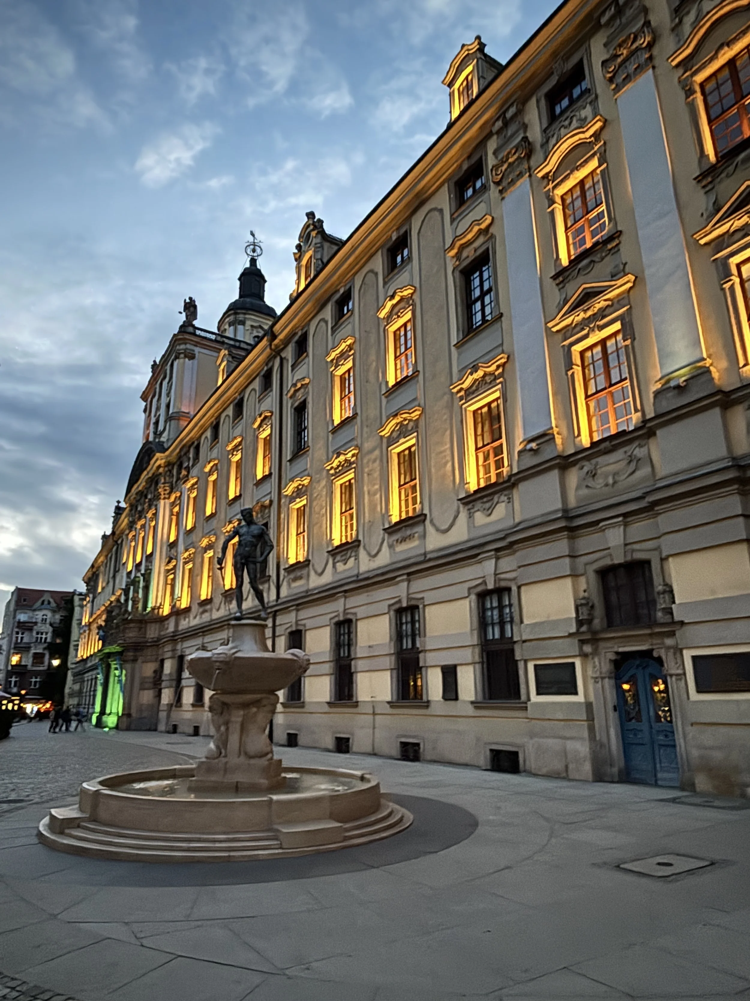
In front of the university building stands the 1904 statue of a naked fencer. A, possibly apocryphal story says that the man in the statue is none other than the artist who made it, Hugo Lederer. According to this story, the monument alludes to an episode from the time when he was a student at the university and gambled away all his clothes after a night of heavy drinking.
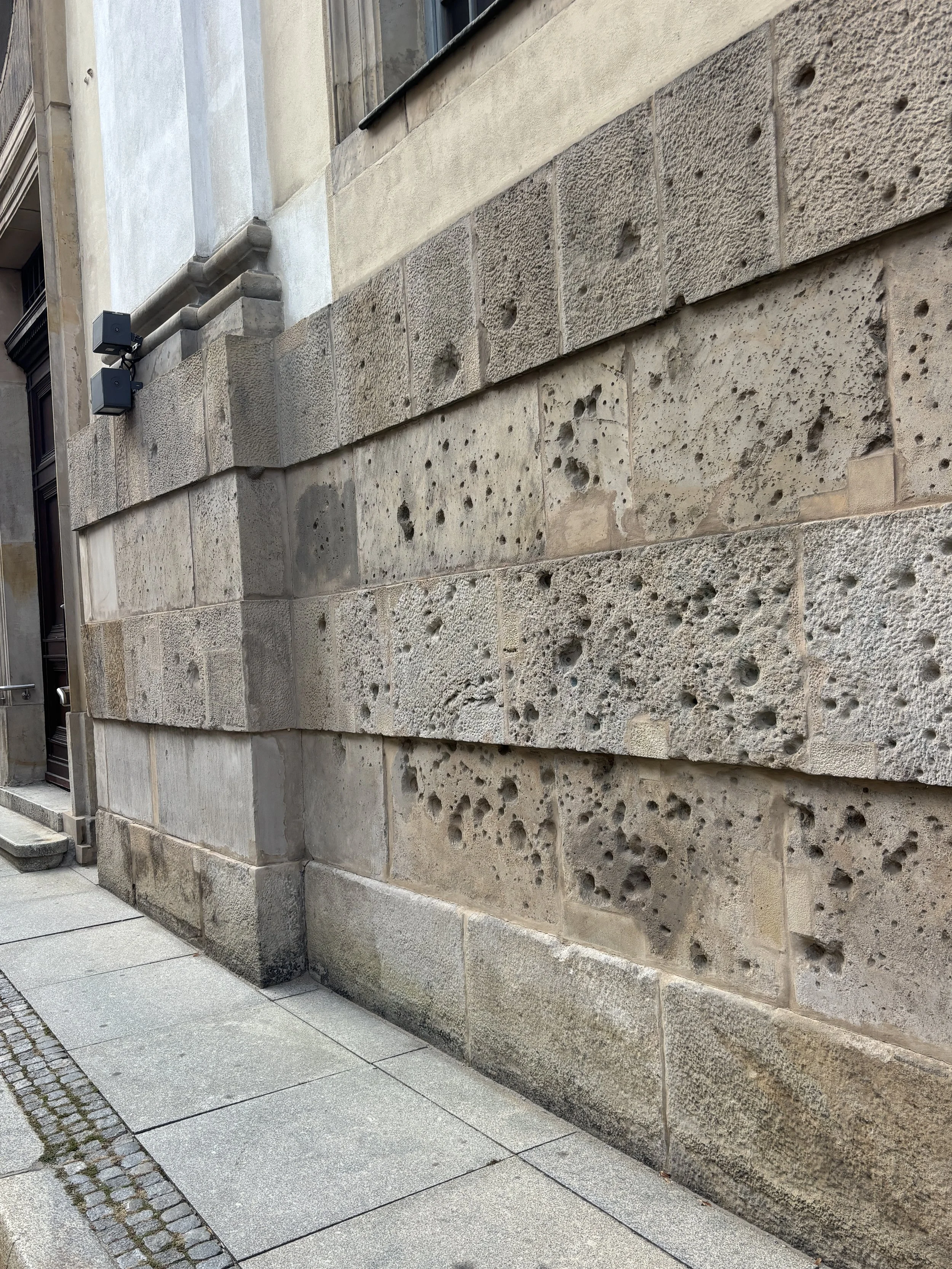
Near the university you can also find some of the bullet marks from the WW2 battles.
St. Matthias Church and Ossolineum
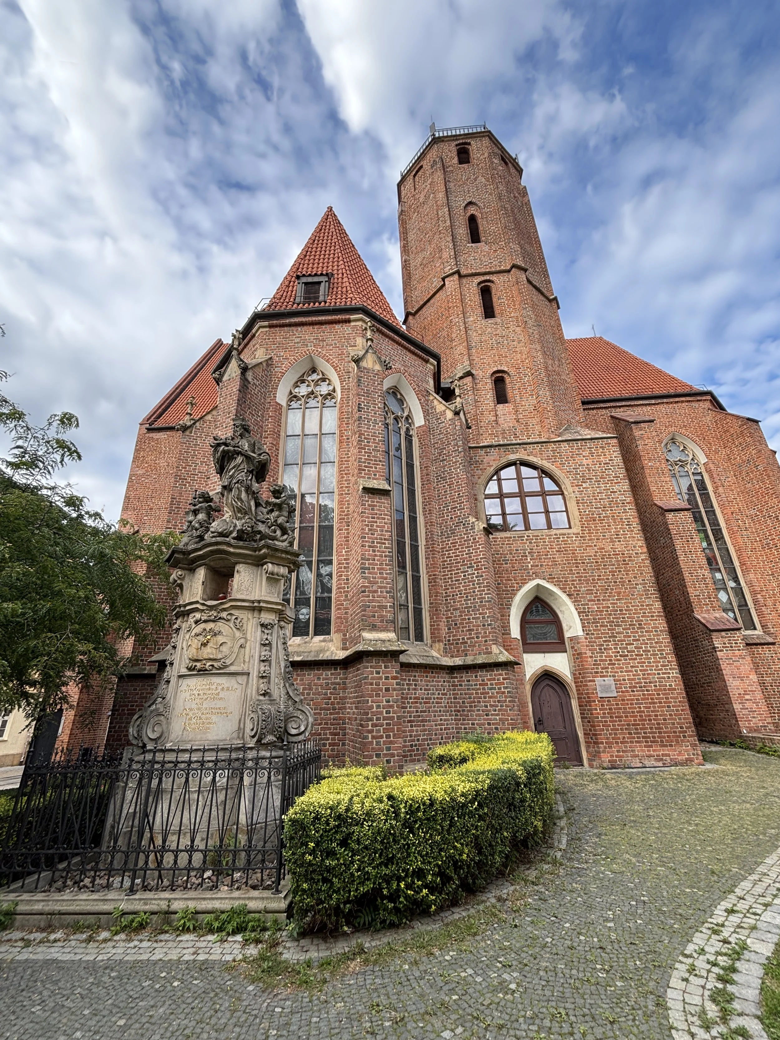
If you walk between Wroclaw University and Ostrow Tumski there are a couple of other sites worth stopping at. One of them is the red-brick church of Saint Mathias, which has some very old foundations, even if the current building was heavily restored after the war. It has some remarkable stained glass windows that you can admire from inside.
The other one is the Ossolineum, which hosts the Ossolinsky Institute, an institution set up in 1817 by a Polish aristocrat, Józef Maksymilian Ossoliński, with the aim of preserving Polish culture at a time when Poland had lost its statehood. Part of the library and archives were transferred from Lwow (Lviv) at the end of WW2. A new museum is planned to open to the public at the Ossolineum, in the meantime you can relax a bit in the gardens.
Continuing towards Ostrow Tumski I would suggest walking on Plac Nantiera. On this street you can retrace, literally step by step, the history of Wroclaw by checking the different metal plaques laid down on the ground in chronological order.
These evoke the most important events in the history of the city, since its the foundation more than 1,000 years ago, to its designation as the 2016 European capital of Culture.
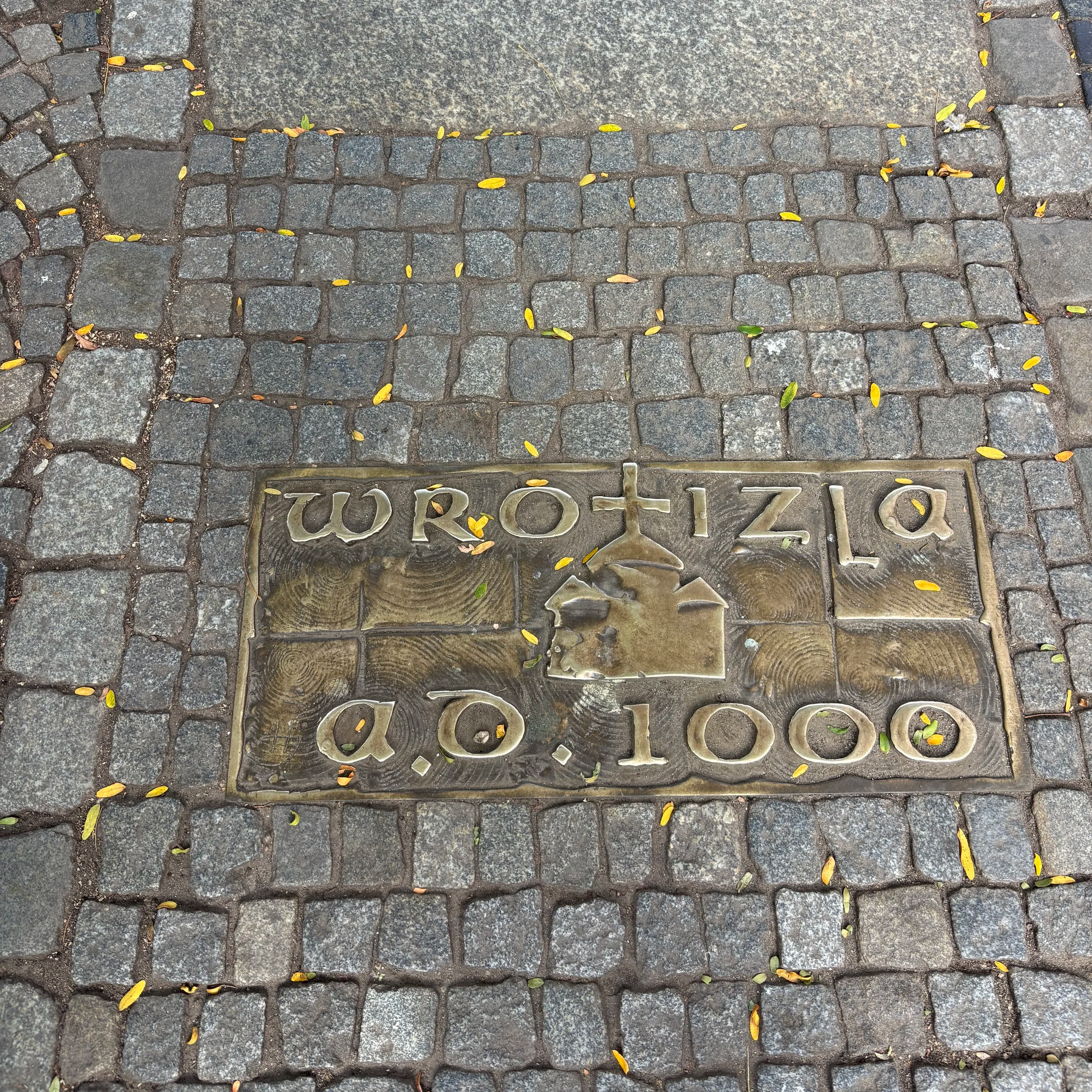
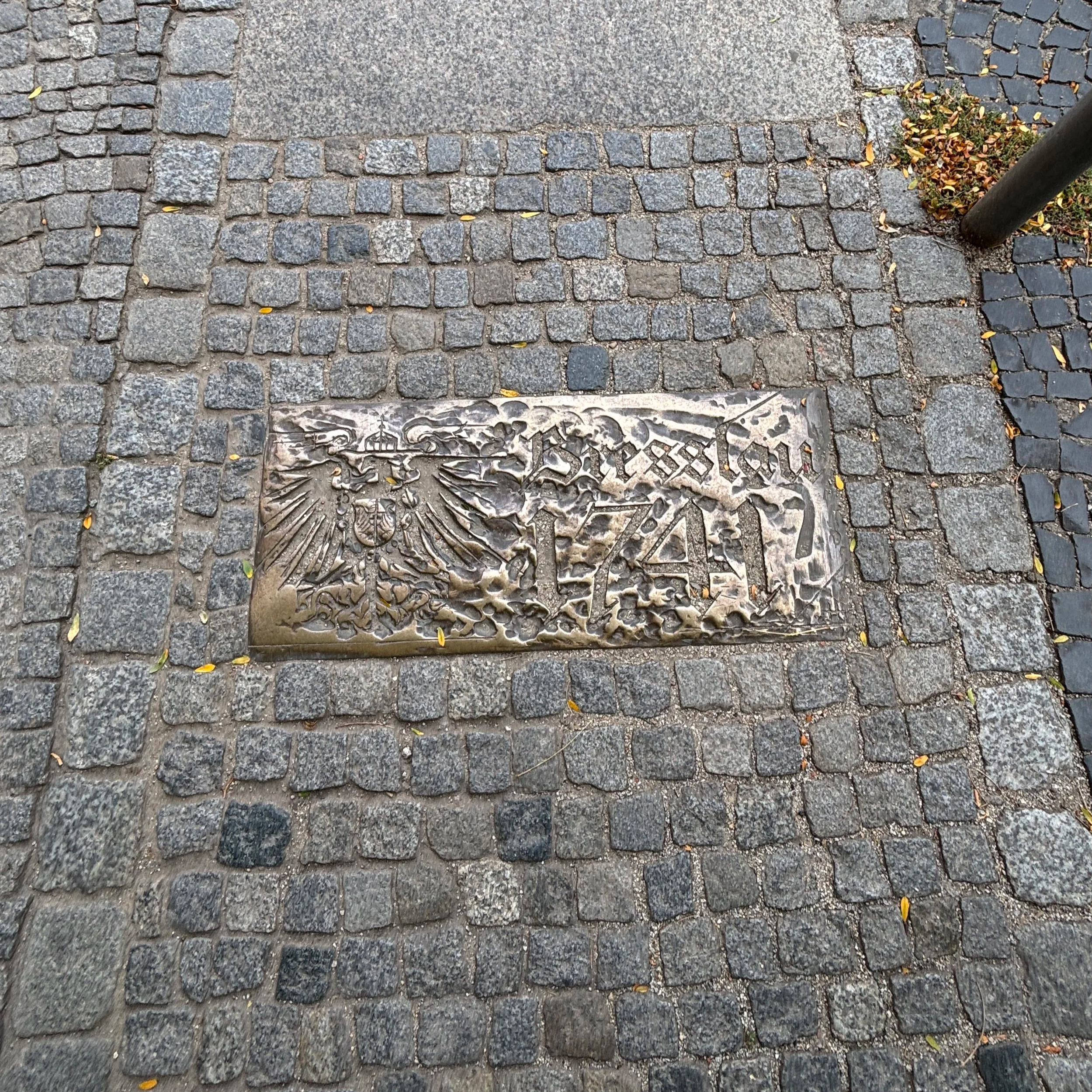
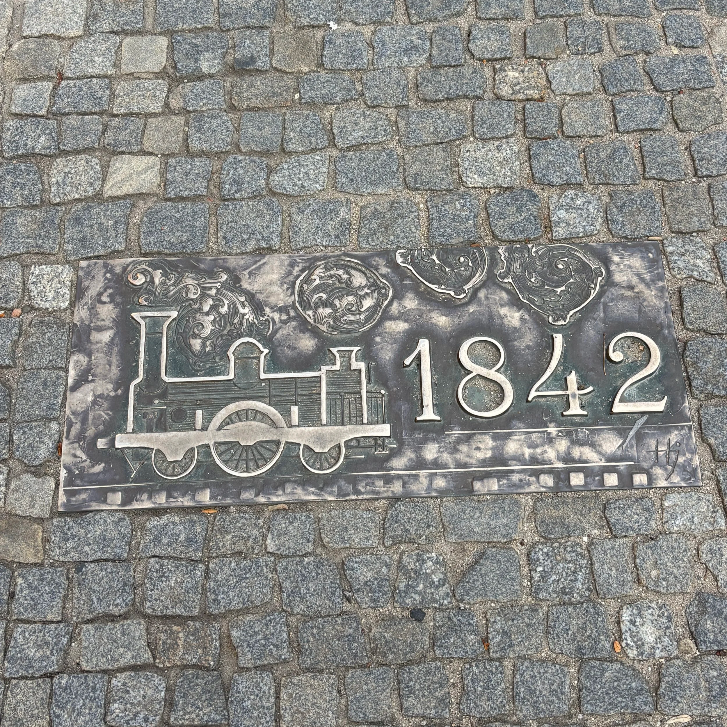
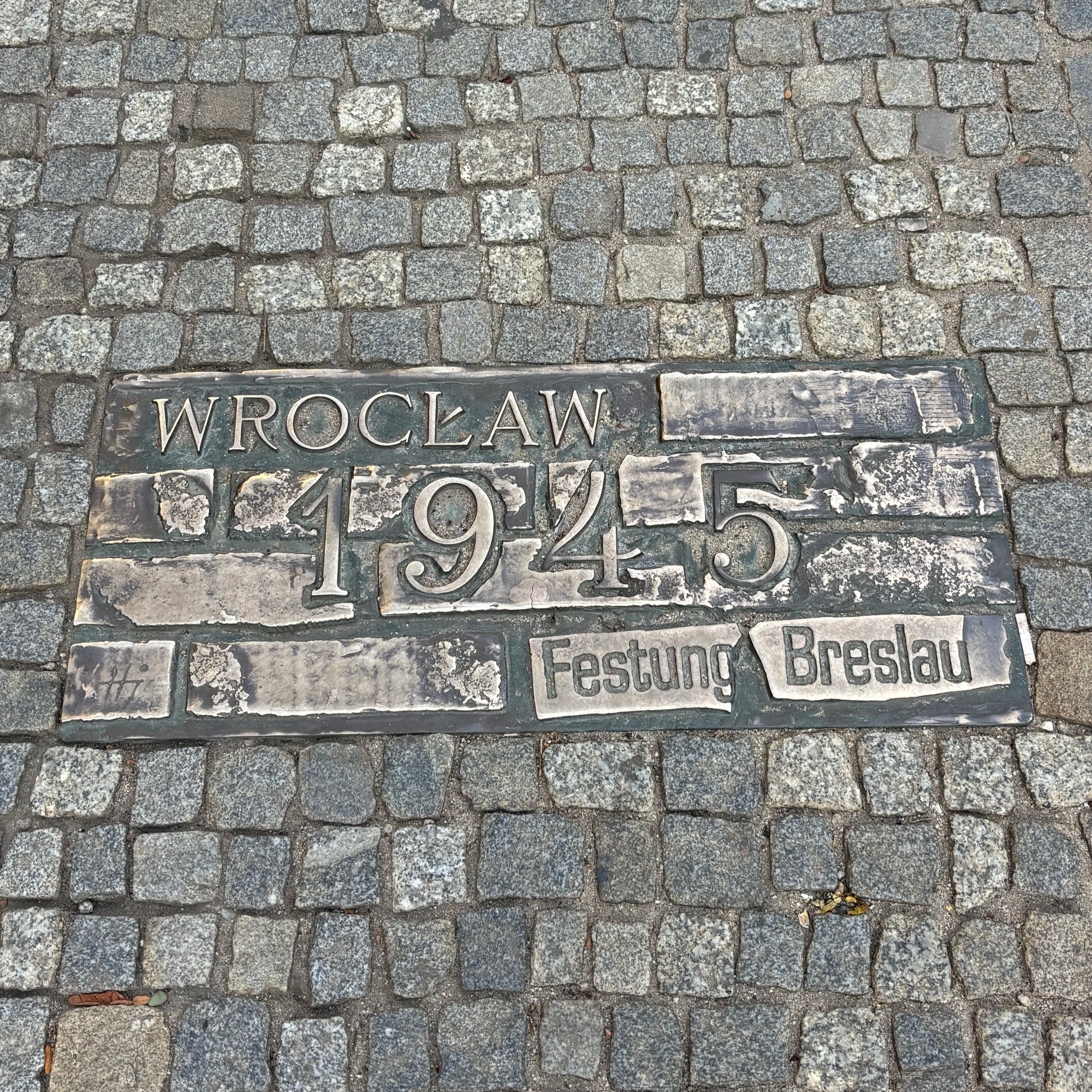
So far we have explored the sites that lie to the north of Rynek, but if you head south, there are also some interesting things to see.
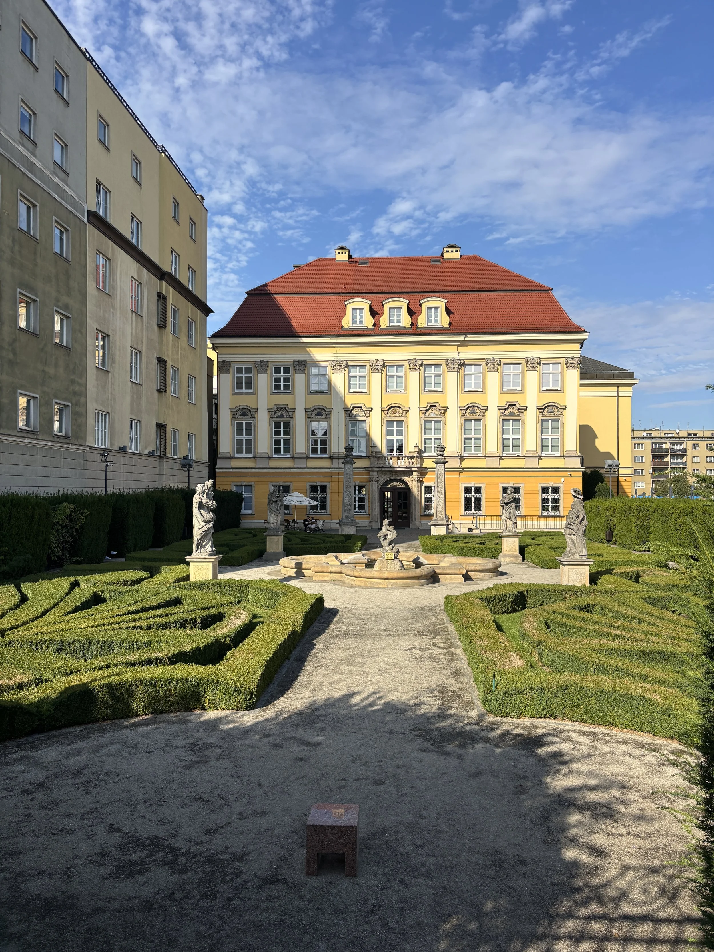
Wroclaw’s Royal Palace
When Prussia took over Silesia, the city became, together with Berlin and Königsberg (present day Kaliningrad) one of the three cities which regularly hosted the king. Therefore, it was endowed with a Royal Palace. The palace was badly damaged during the war, and while one of its former wings is missing, what remains of it has been restored to its former glory and today it houses the Wrocław City Museum.
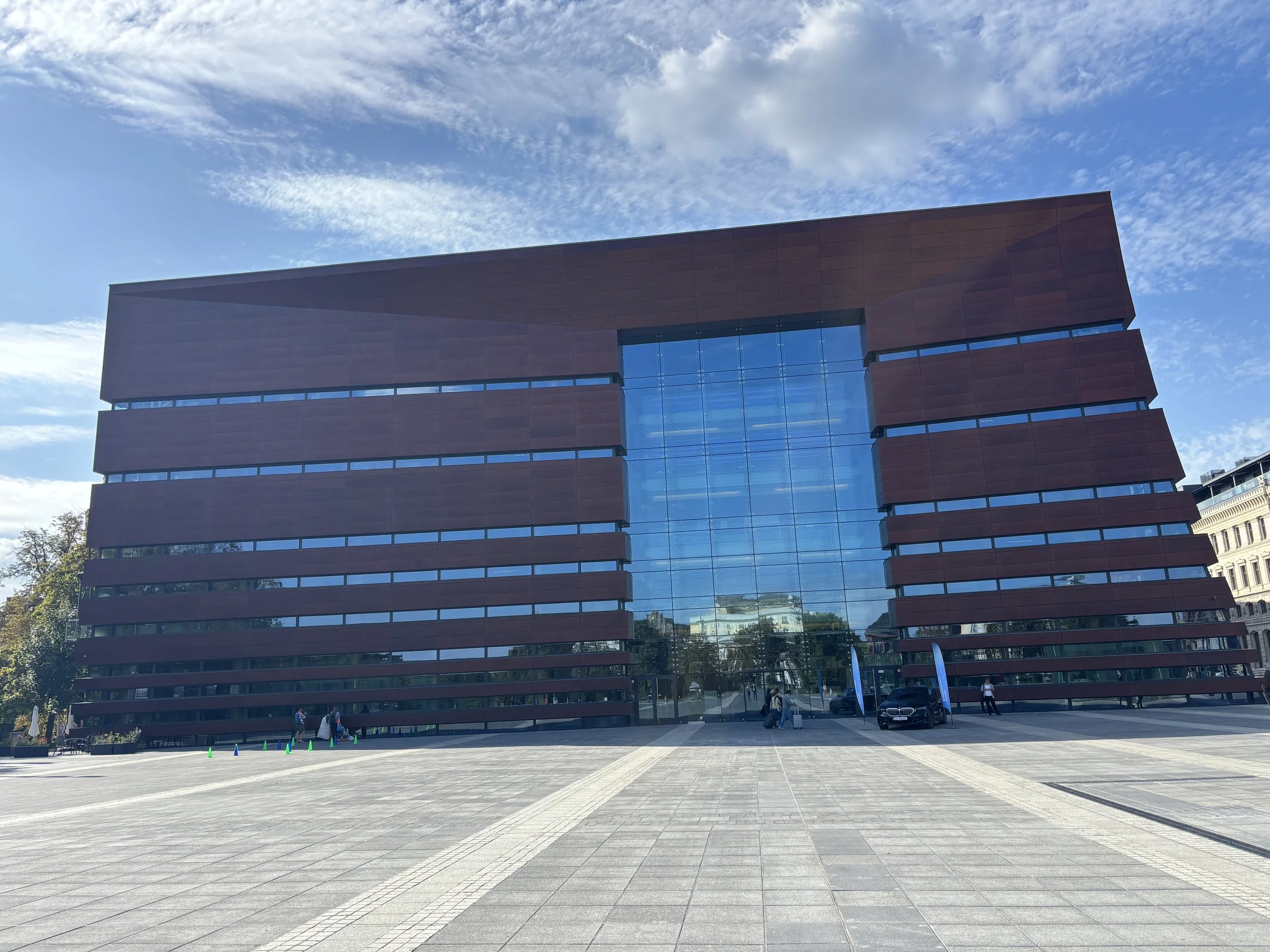
National Forum of Music of Wroclaw and Plac Wolności
Just south of the Royal Palace is Plac Wolności, a large open space which once upon a time was a parade ground for the Prussian army. Since 2015 it hosts the National Forum of Music, a large contemporary concert hall.
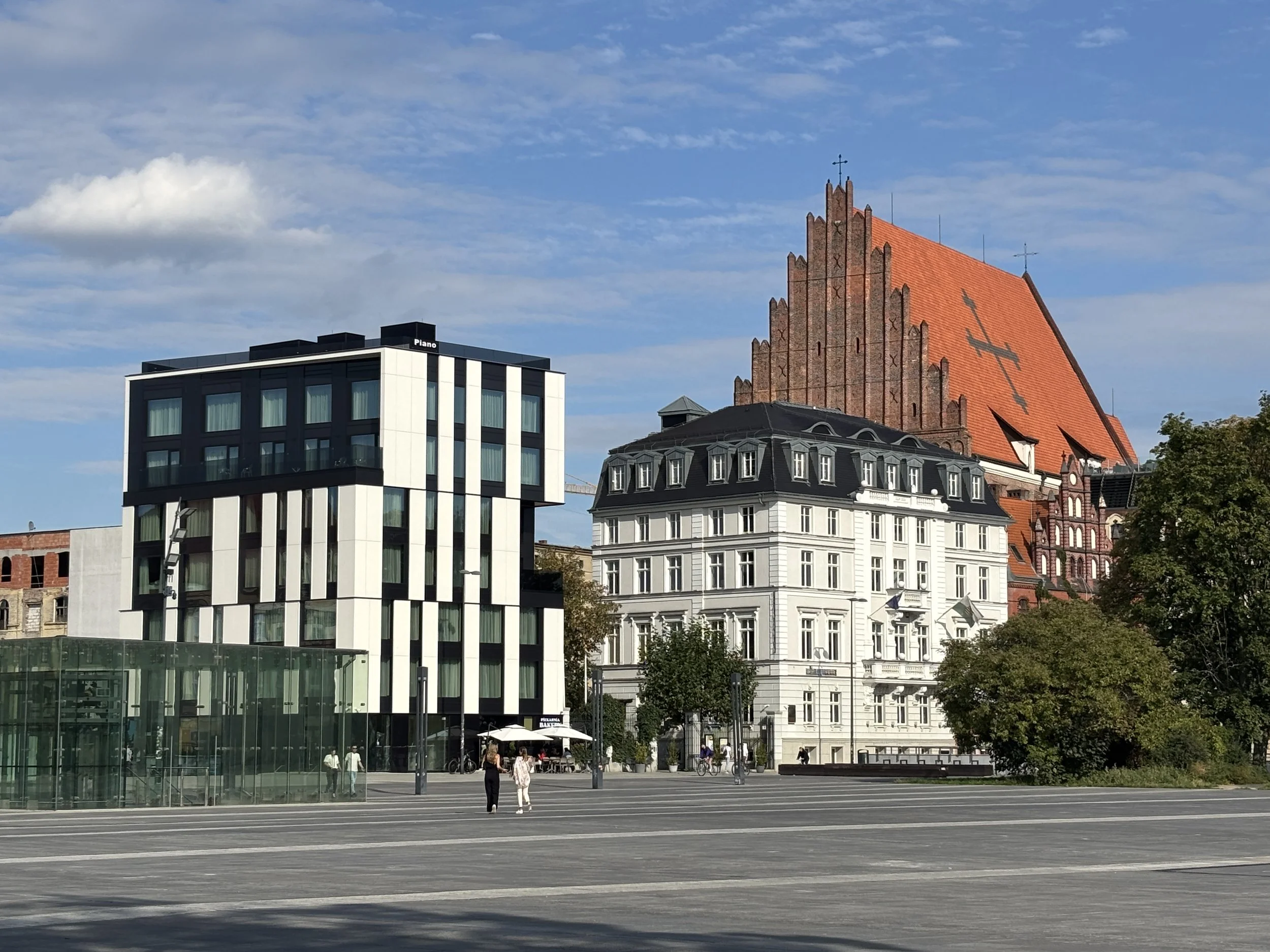
Plac Wolności is also a good place to check the architectural evolution of Wroclaw, since it provides an open, unimpeded view of the area around. From here you can also enter the garden boulevard that follows the path of the former city walls.
Wroclaw’s Opera
Not far from Plac Wolności stands one of the jewels of the city’s 19th architecture that survived WW2, the Opera building, which still fulfills its original purpose.
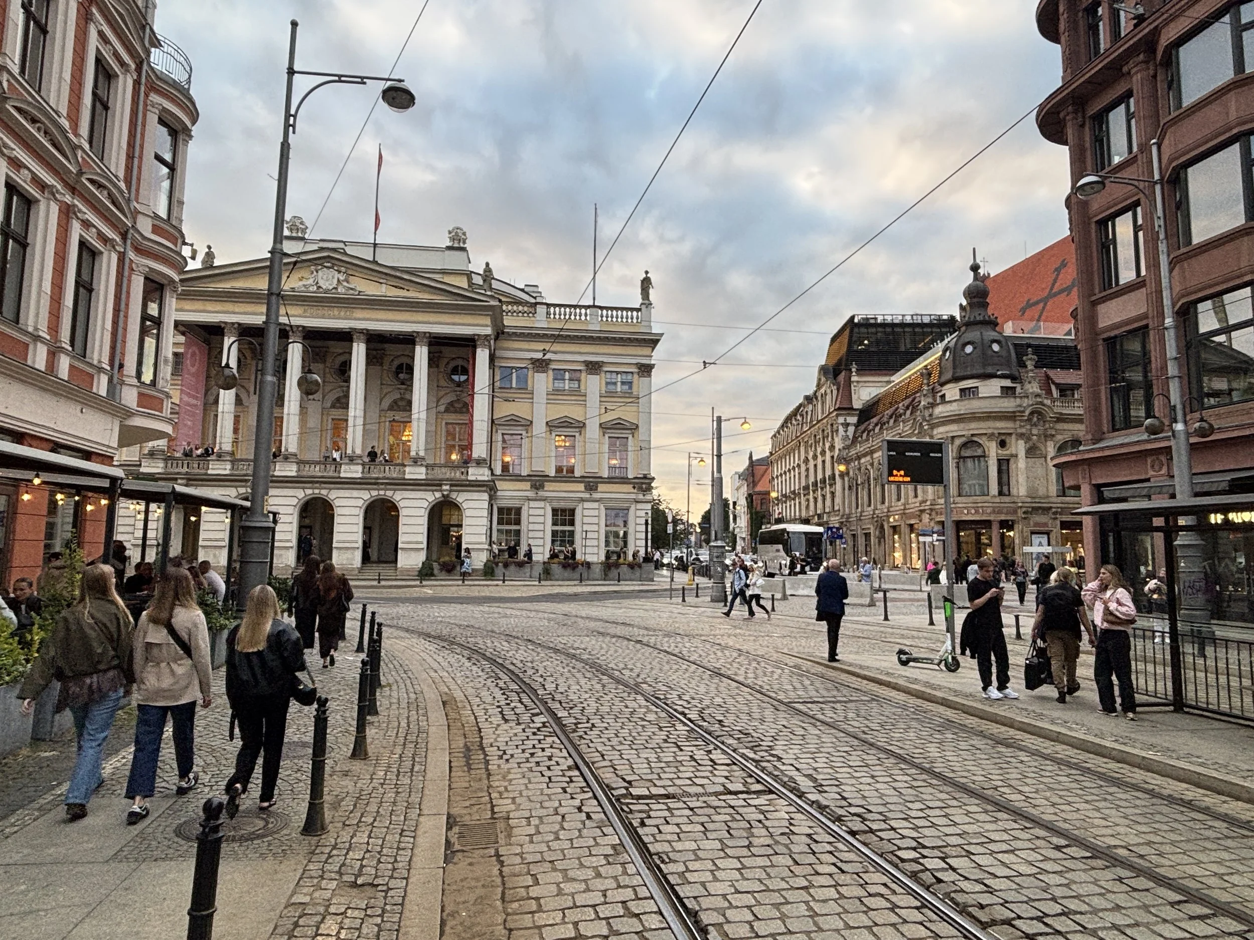
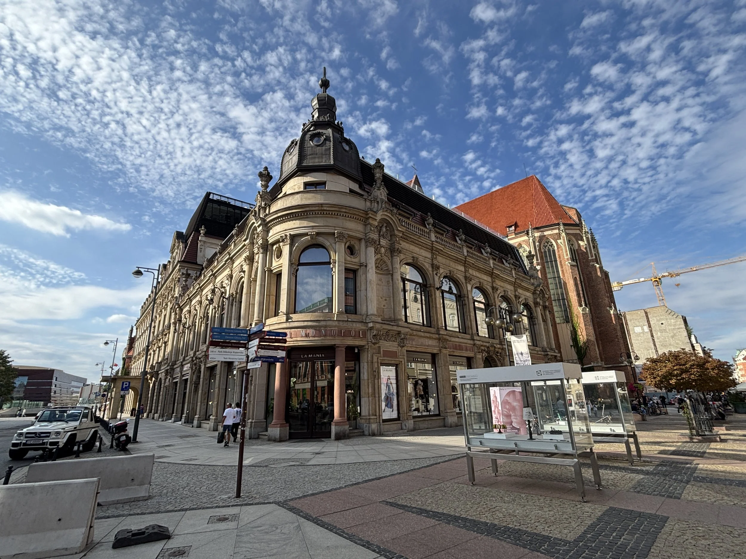
And right next to the opera, another remarkable establishment: the Hotel Monopol, which has hosted a large number of historically prominent visitors to the city, ranging from Adolph Hitler to Pablo Picasso, to name just two very different characters on totally opposite ends of the ideological spectrum. Today, the Monopol remains Wroclaw’s grand classic hotel.
Ostrow Tumski (Cathedral Island)
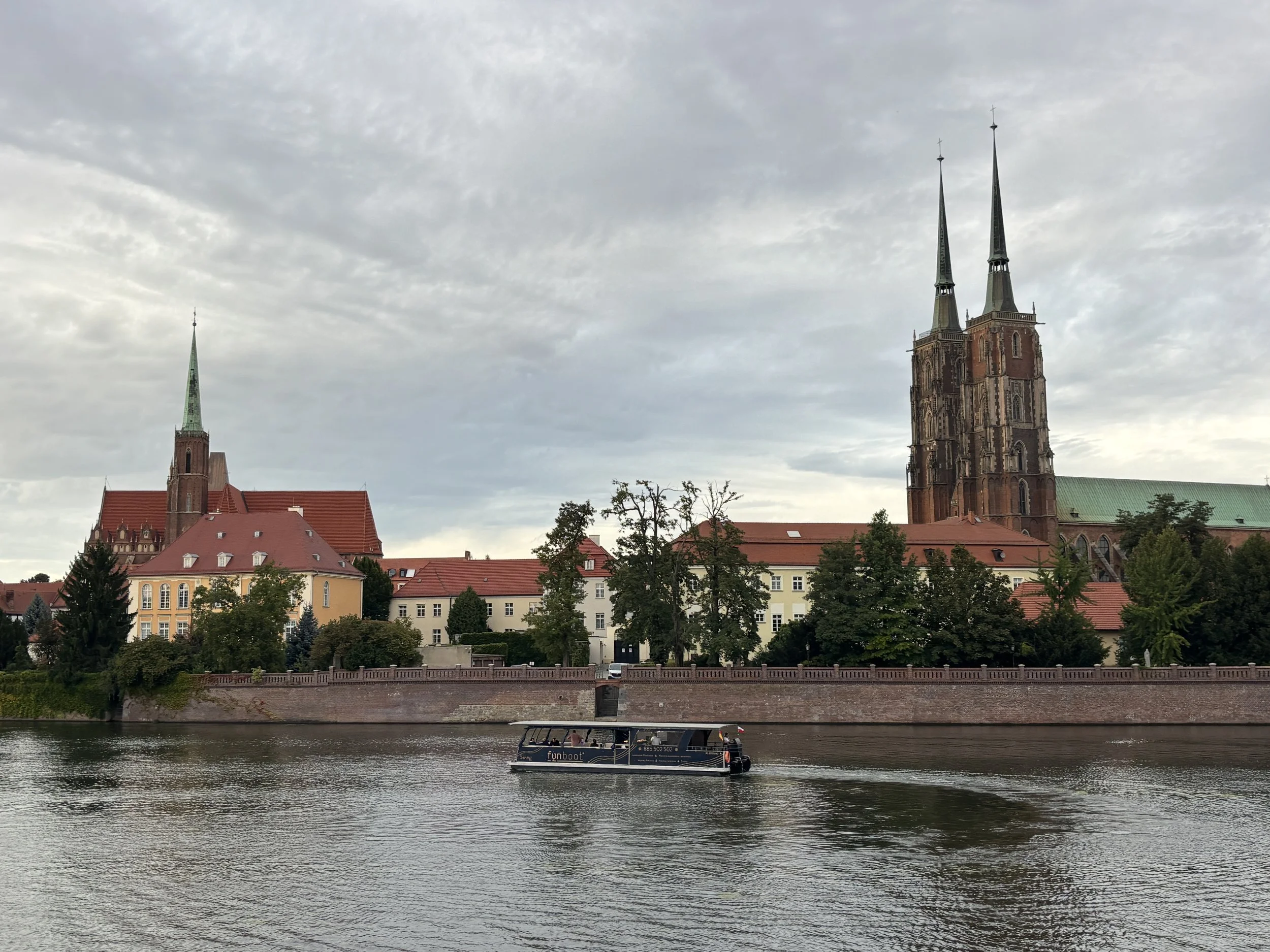
As mentioned earlier, Ostrow Tumski is the original kernel from which the city of Wroclaw sprung up. Today is no longer an island, but it remains almost like a religious enclave, since it hosts the city’s cathedral and most of its surrounding buildings belong to the Catholic church.
Wyspa Piasek (“Sand Island”)
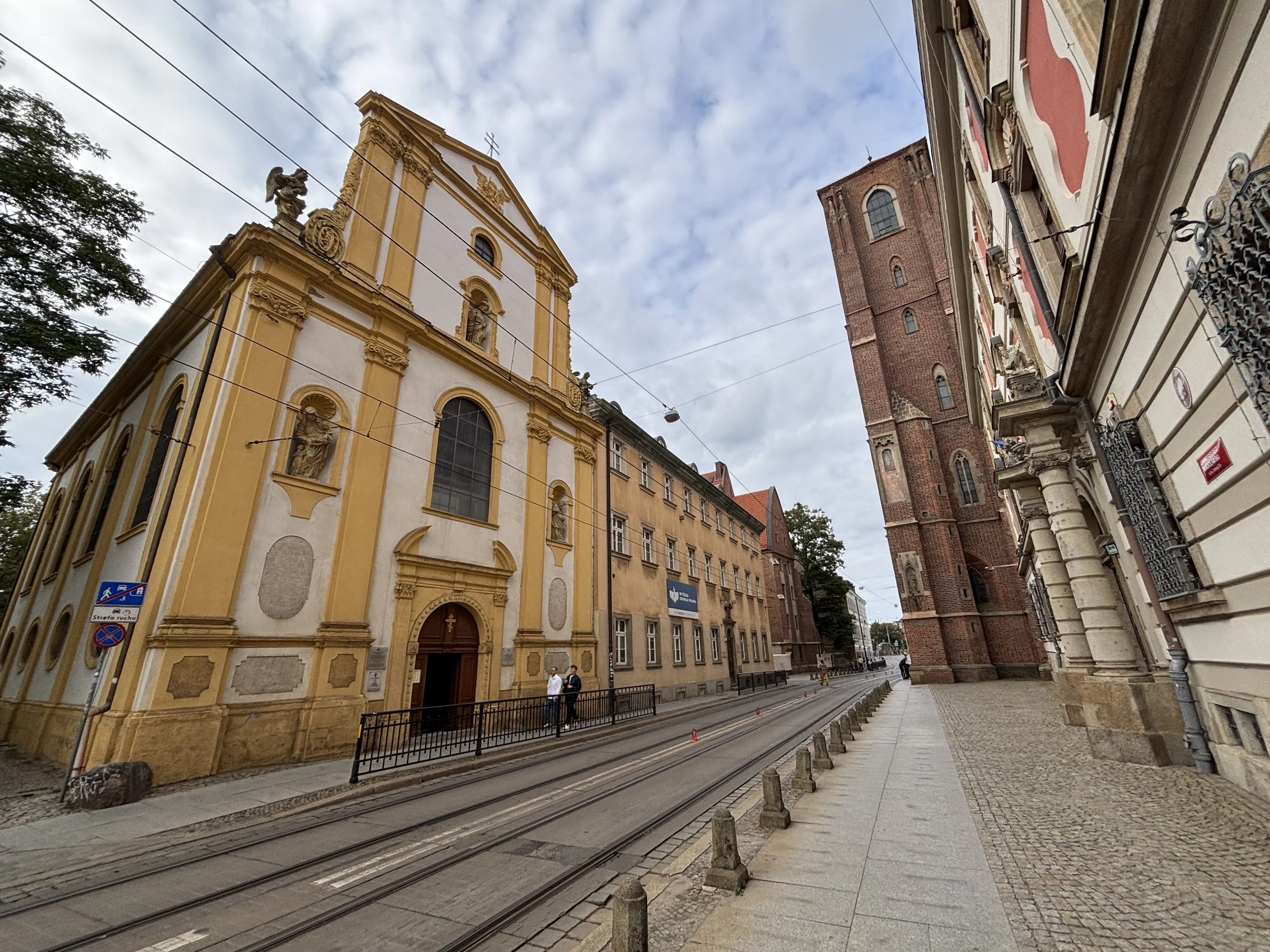
But before getting to Ostrow Tumski, if you are coming from the historical center, you are likely to pass through another river island, “Sand Island”, which hosts two old monasteries, one male and the other female (one of them still active, the other is now part of the university).
Apparently, the monks controlled the only crossing point over the Odra river, which went over this island, so they collected significant revenue from tolls.
The most scenic way to get to Ostrow Tumski is through Most Tumski, a steel bridge which offers great perspectives of this rather timeless and evocative part of the city.
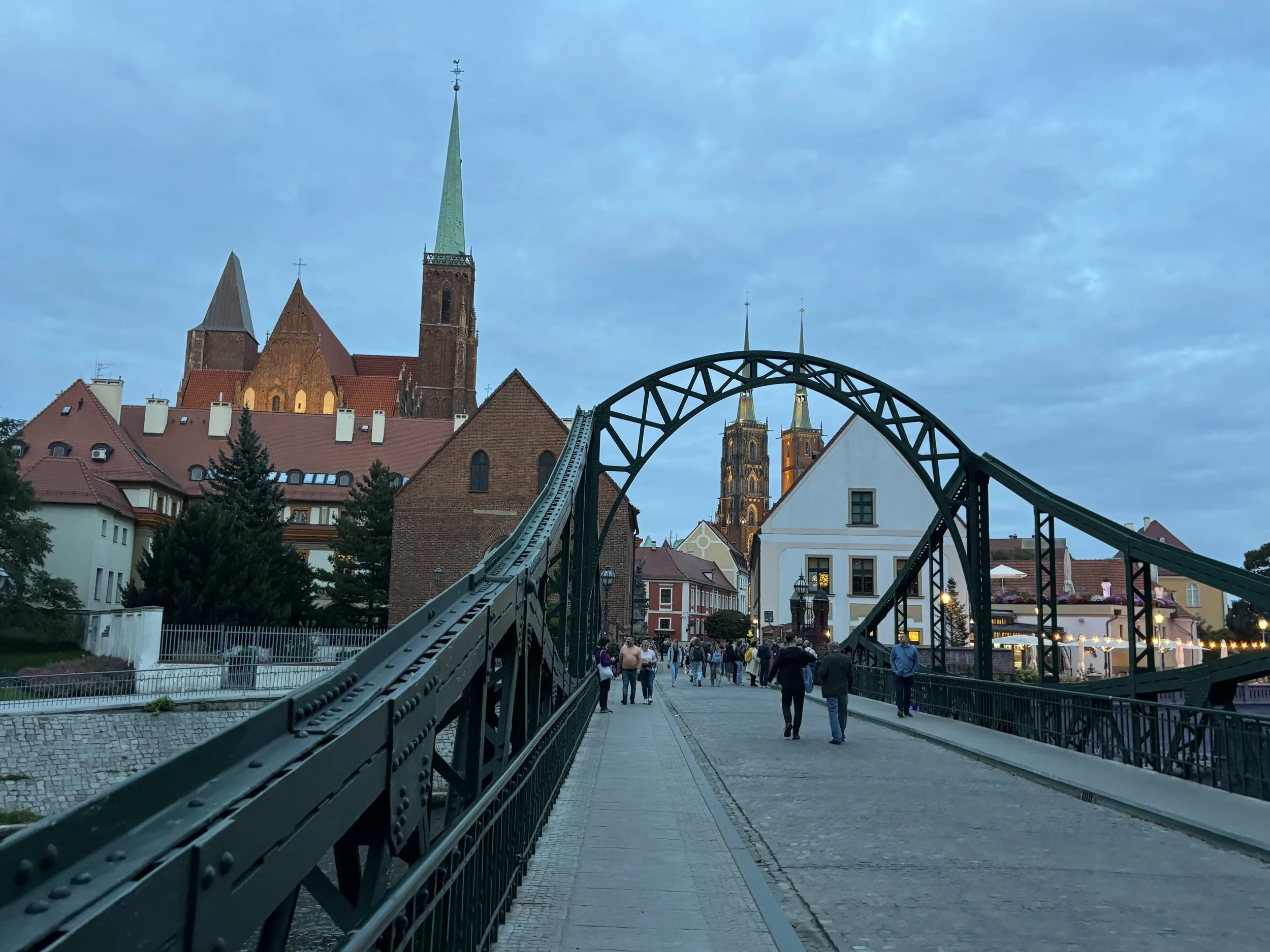
Ostrow Tumski translates into English as “Cathedral Island” and, of course, the cathedral of St. John the Baptists dominates the skyline with its two towers. But the whole island is peppered with religious buildings and it has also several other churches around which add to the monumental ensemble.
Btw, if you like viewpoints, here is another one you can climb up!
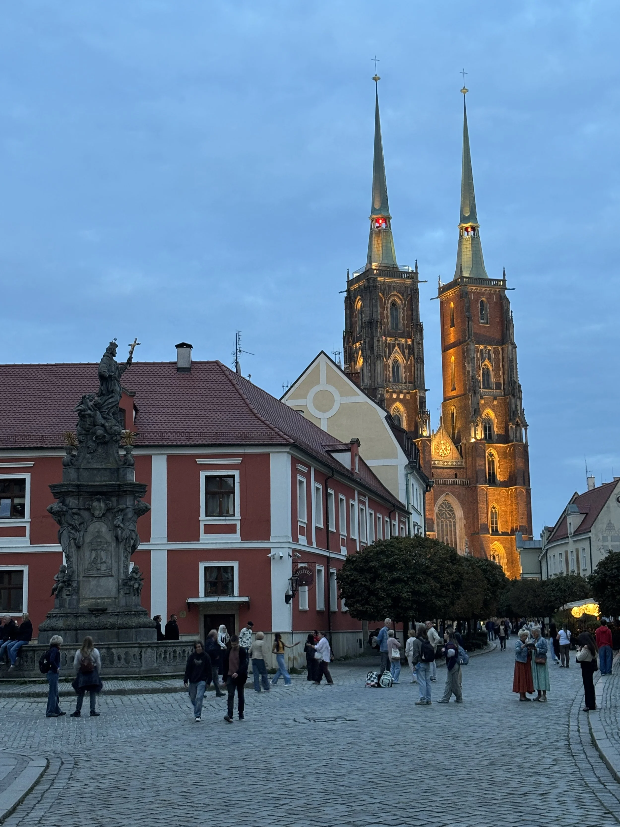
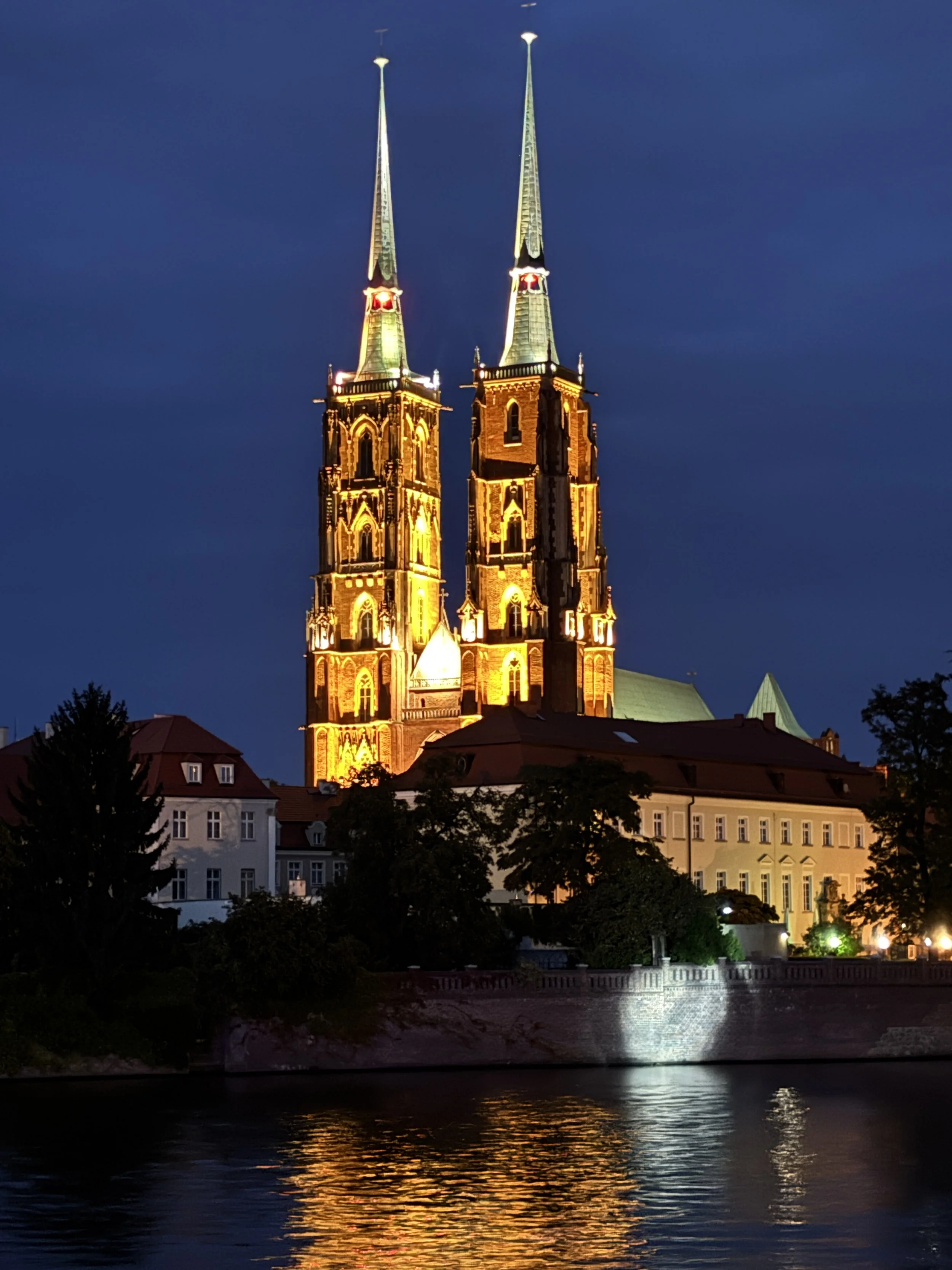
You can also get great panoramic views of Ostrow Tumski from the south bank of the river. Here you will have a riverside promenade with stalls facing the river. Besides being a place for temporary festivals and markets, it is also a nice place to get the views at sunset.
The lamp lighting tradition
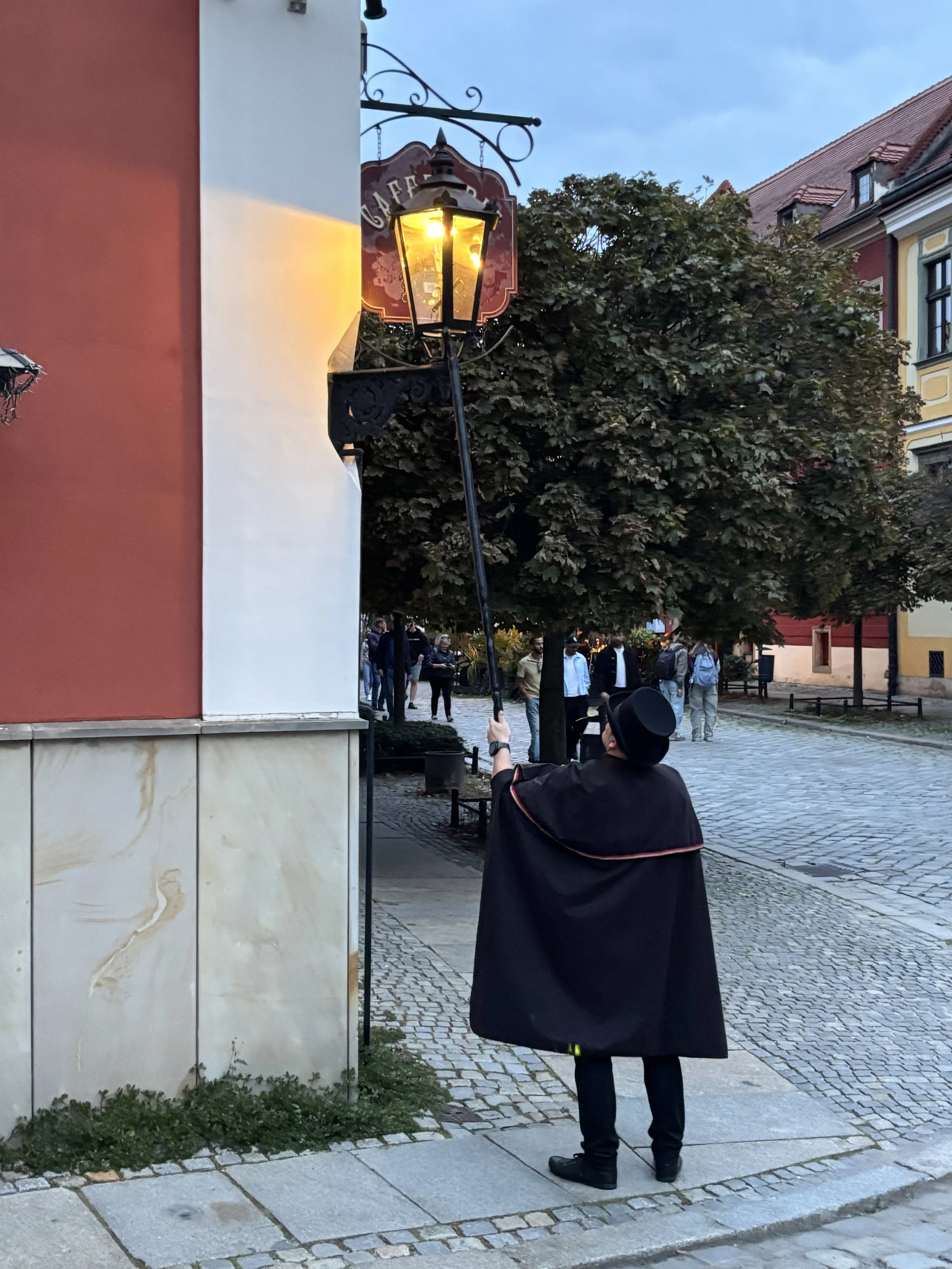
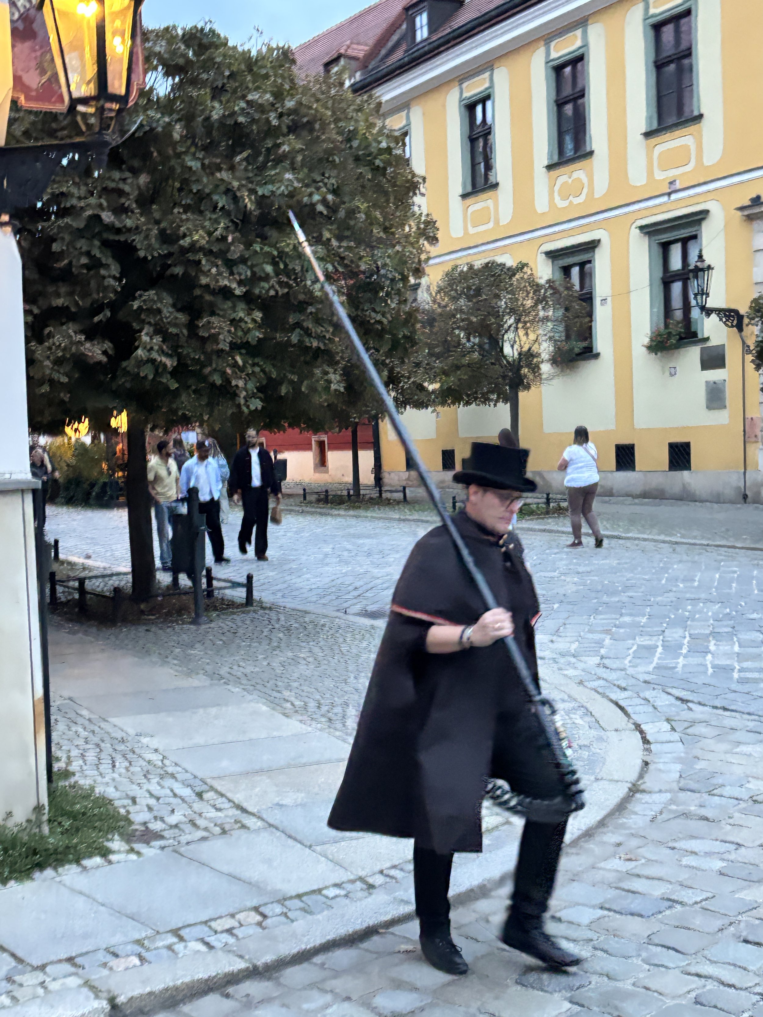
Talking about visiting Ostrow Tumski at sunset, here is yet another reason to do so: every day when the sun sets, an old tradition comes into play, with the nearly 100 gas lamps from the 19th C. still left in Wroclaw, being lit by hand.
There is no set time for this, check the sunset times and head to Ostrow Tumski around that time. You will possibly spot the guy doing this job quite easily, because, besides his period costume, he is usually followed by a crowd of tourists taking pics (yes, I was one of them too!)
Will you be able to find all of Wroclaw’s dwarves?
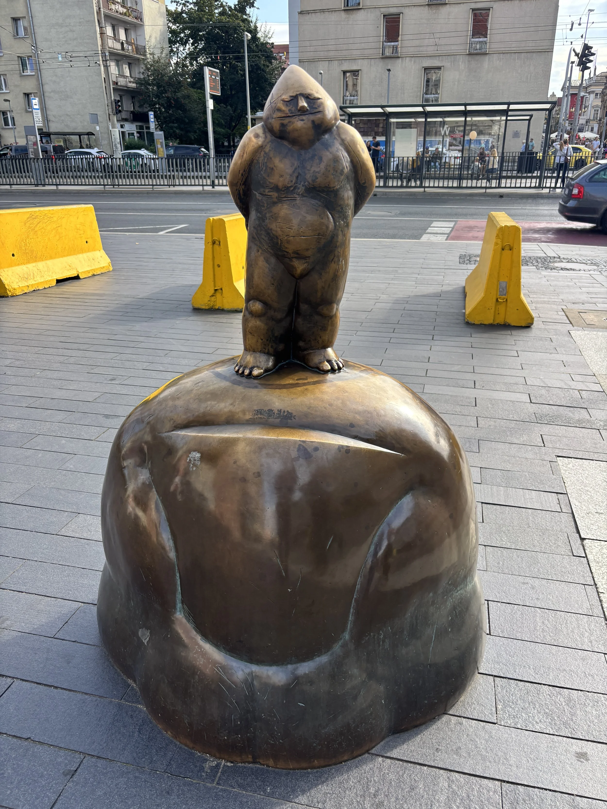
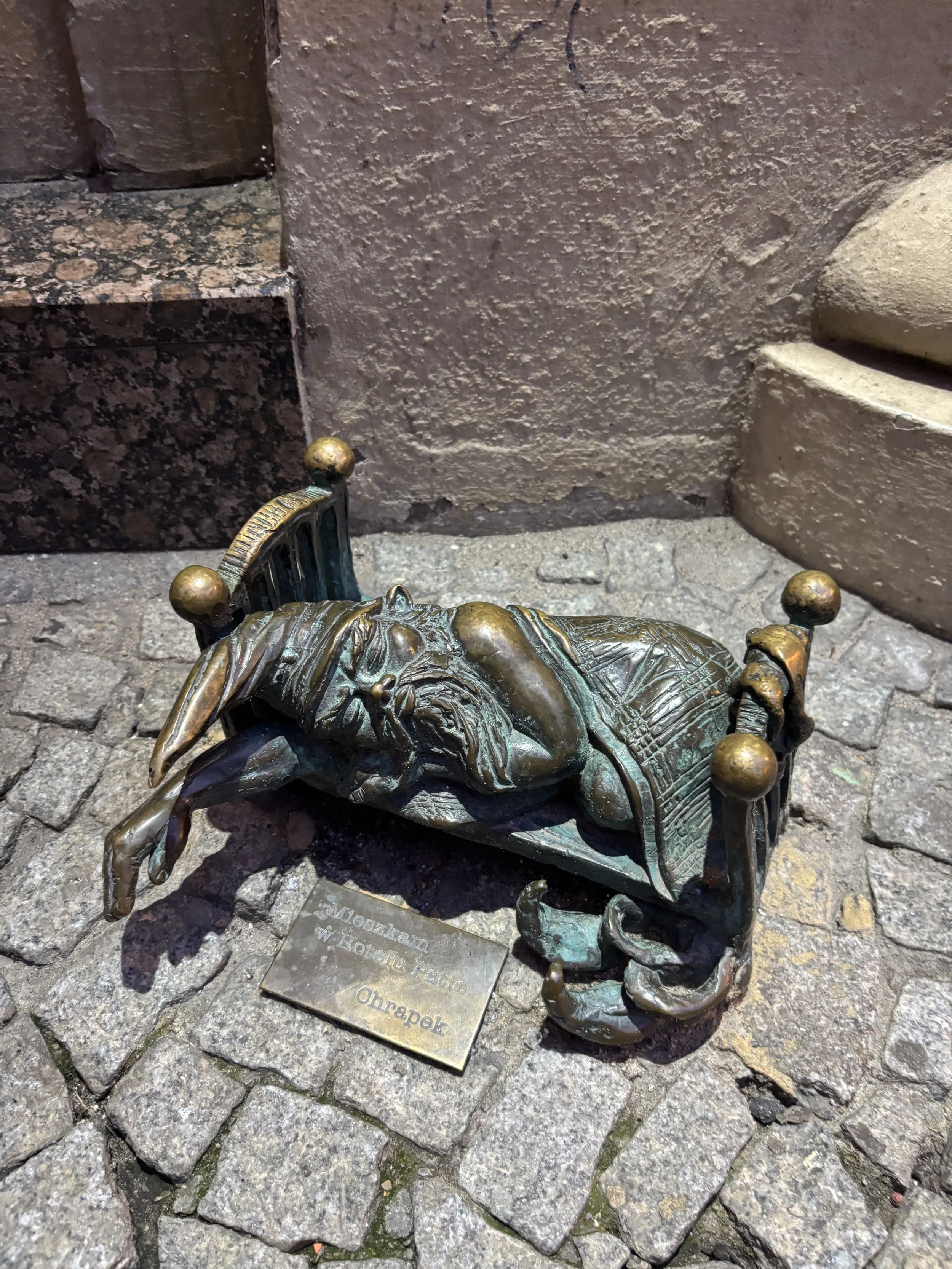
Here is a thing that is quite unique of Wroclaw: the dwarves.
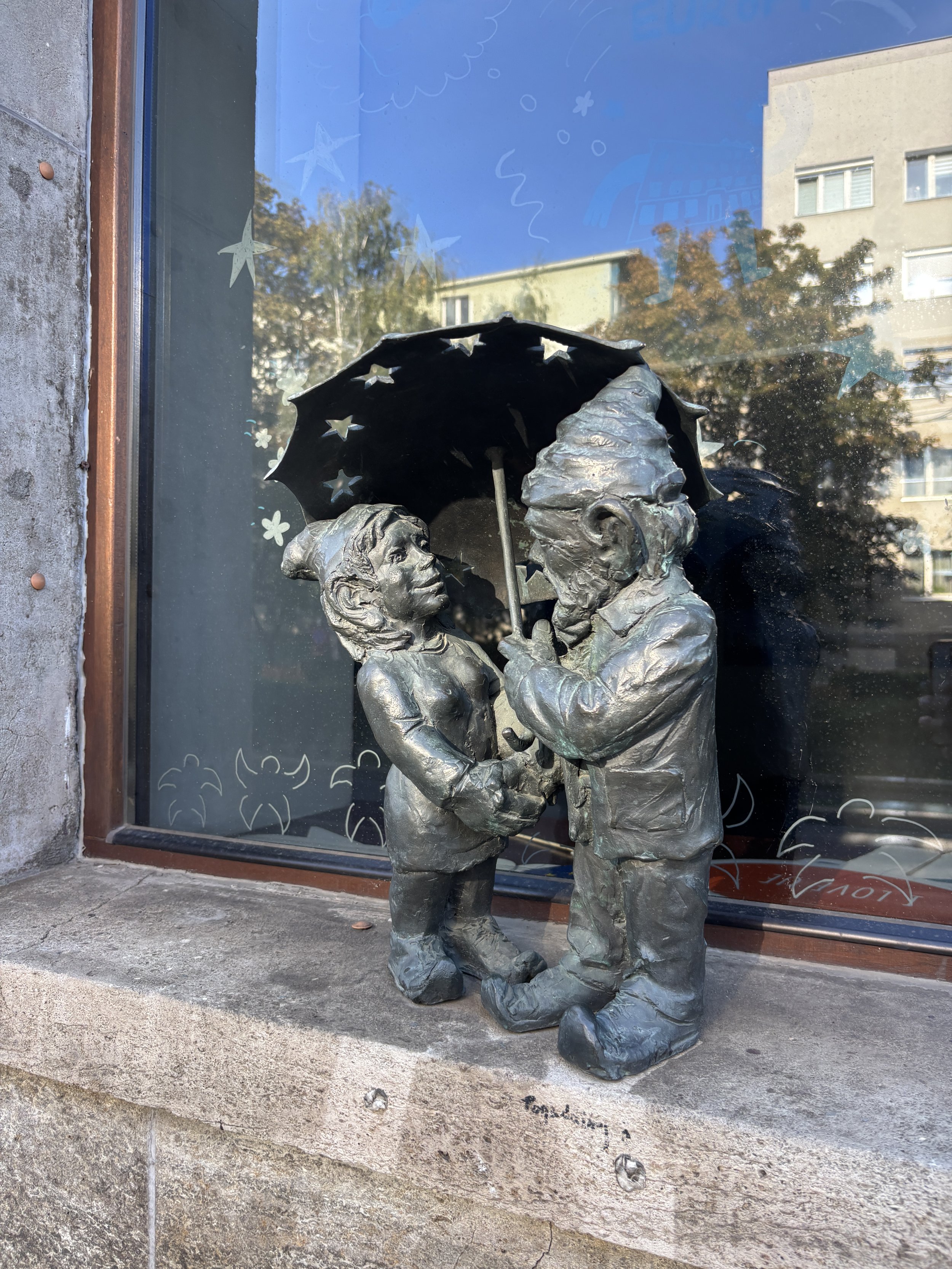
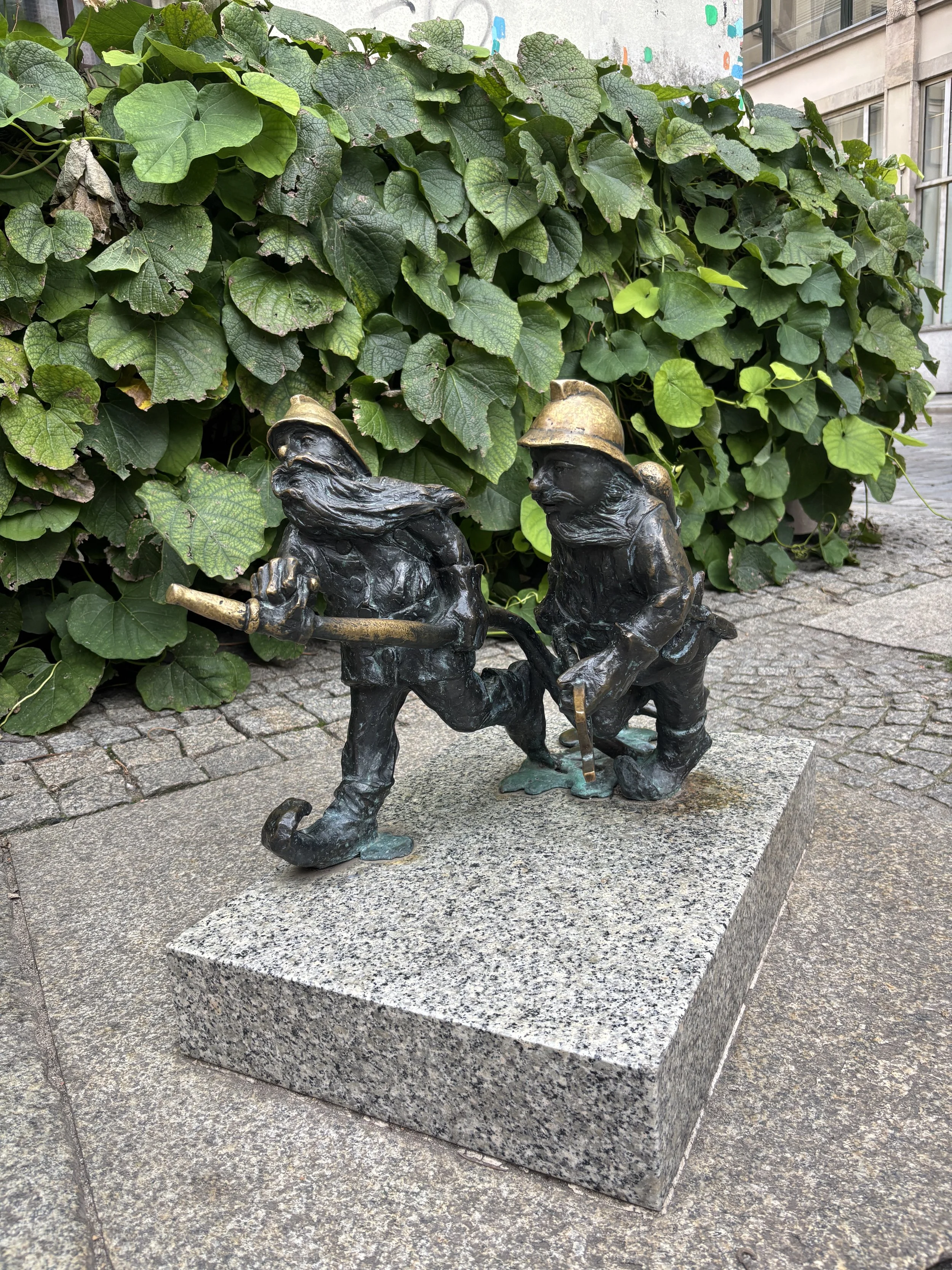
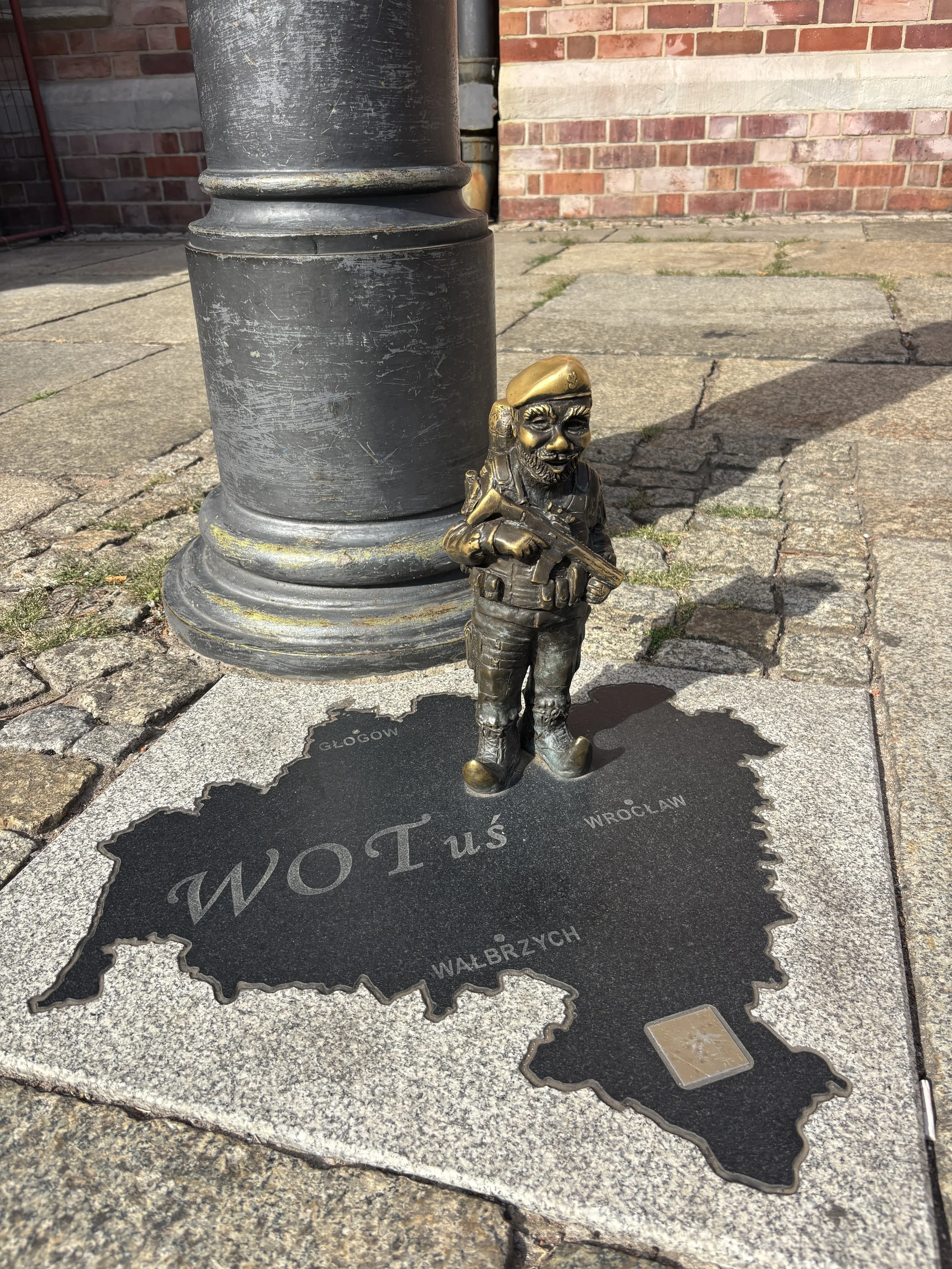
There are around 1,000 of them, possibly more because no one really knows, all over the city of Wroclaw. What’s more, these little bronze statutes tend to come from all walks of life, as each evokes the place or activity it is linked to. There are firemen dwarves, soldier dwarves, traveler dwarves, and so on.
It all started as an anti-communist protest in 1980s Wroclaw, as activists in the “Orange Movement” which criticized the Communist dictatorship started to paint small dwarves on some walls as the authorities tried to patch over anti-regime graffiti. The movement then evolved with protestors conducting ephemeral protests wearing dwarf hats to ridiculize the government repression. A large gathering in 1988 ended up with mass arrests, but that was the point!
So, to remember those events, the the first bronze dwarf, called Papa Krasnal (Papa Dwarf), was installed on one of the city’s main boulevards. Five other smaller ones followed shortly after. But, once they became entrenched in the city’s identity there was no stop and little dwarves started appearing pretty much everywhere, the result of both public and private initiaitive.
Today you can get a map at Wroclaw’s tourist office, which helps you track and “collect” the dwarves you come across while walking around the city! (and there are, of course, other initiatives to help you find all the dwarves, like these app-based dwarf tours). With more than 1,000 around, it can be quite a fun and absorbing challenge!
Hala Targowa - Wroclaw’s Historical Market Hall
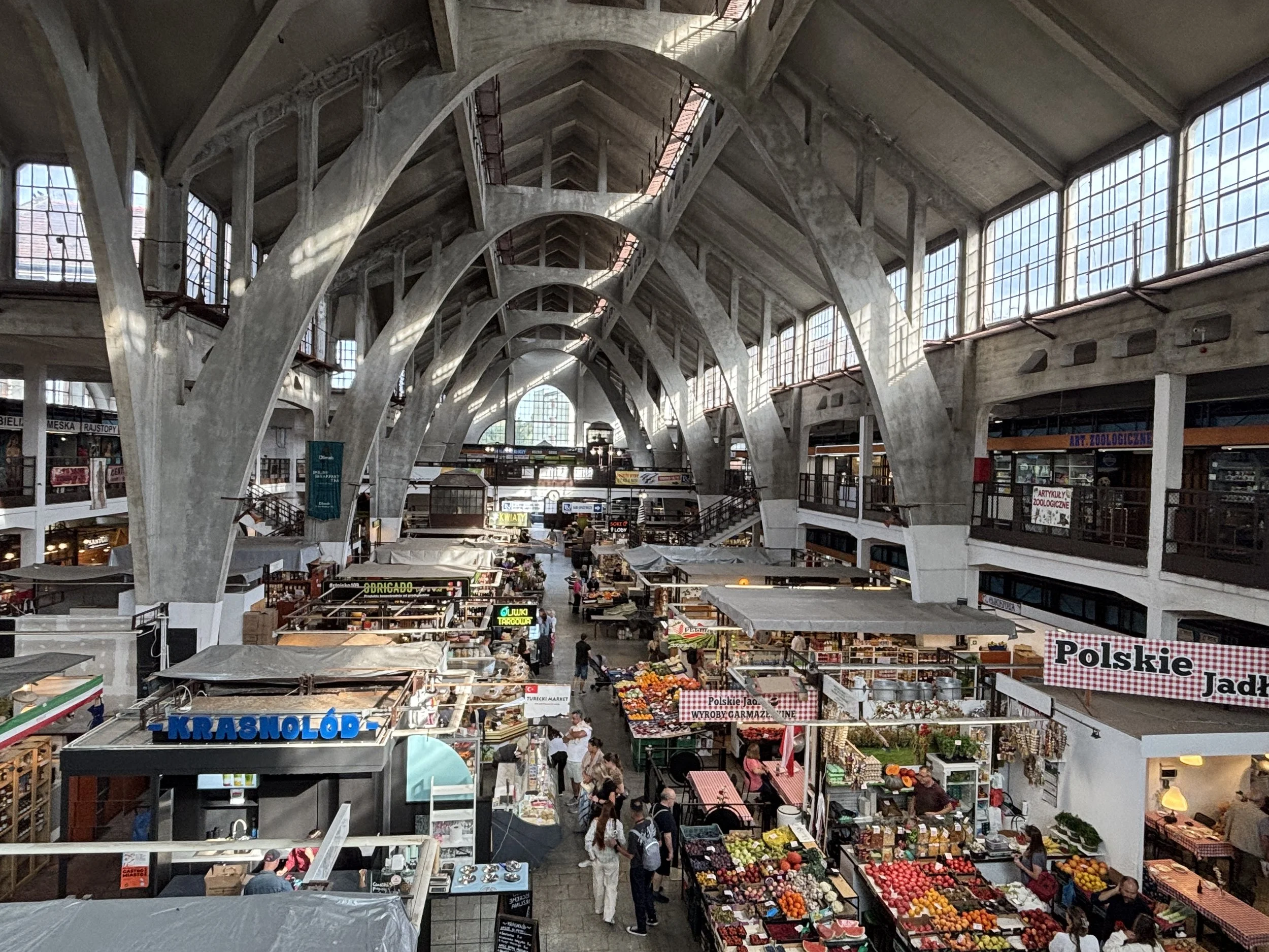
This is another interesting architectural site. It was built in the first decade of the 20th C. with an approach that is quite unique for buildings of this site.
Regular readers of this site may have seen markets with iron structures like the Mercado Central in Montevideo, but this one is made of concrete and using parabollic arches which are somehow reminiscent of the work of Catalan architect Antoni Gaudí. The structure turned out to be resistant enough to survive the war!
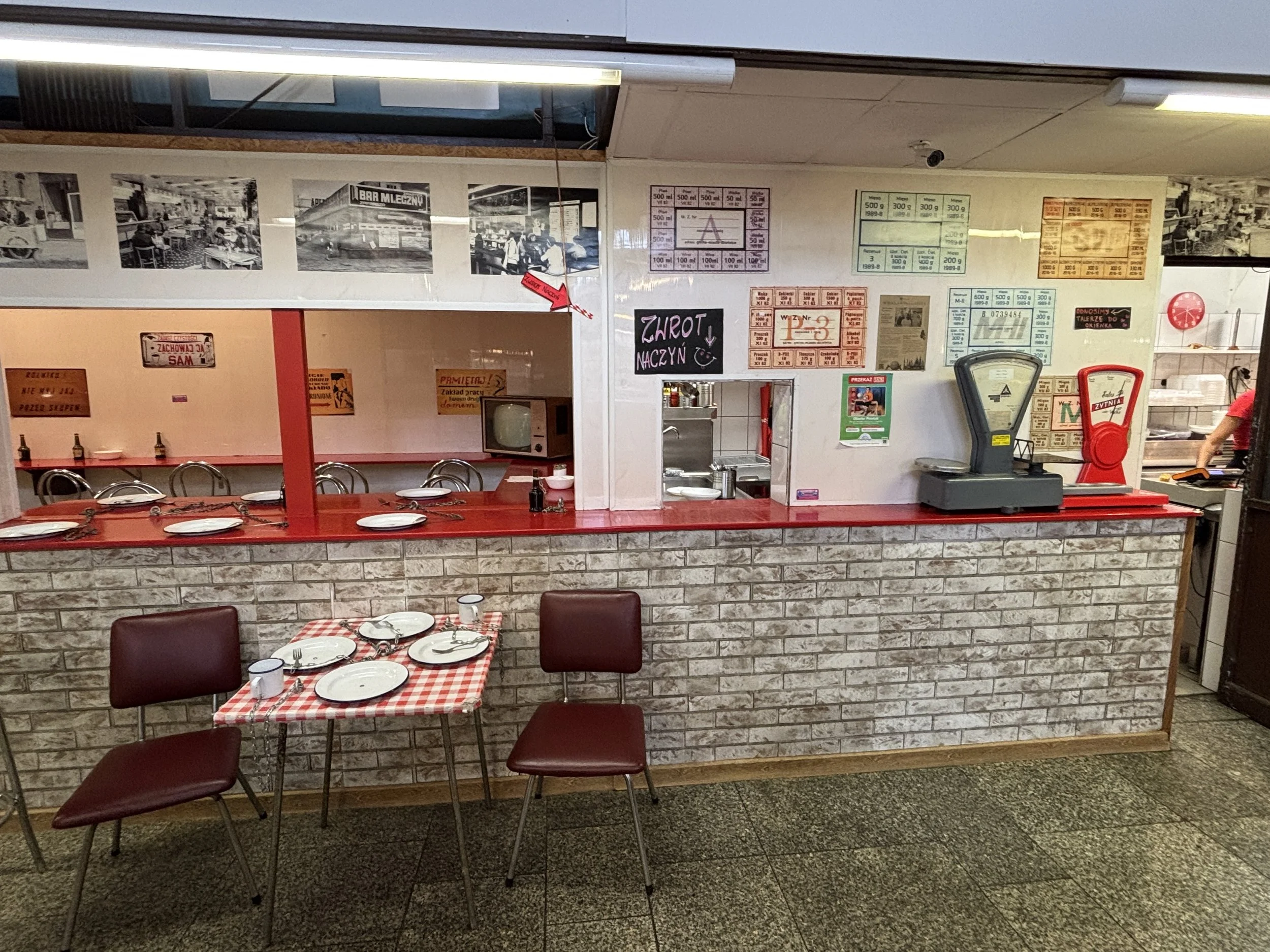
There is currently a project to turn part of the market into a more upmarket gastronomic area, but, in the meantime you can get a taste of Cold War Poland by having some piroegi at “Teddy Bear” (don’t forget to bring your ration card!).
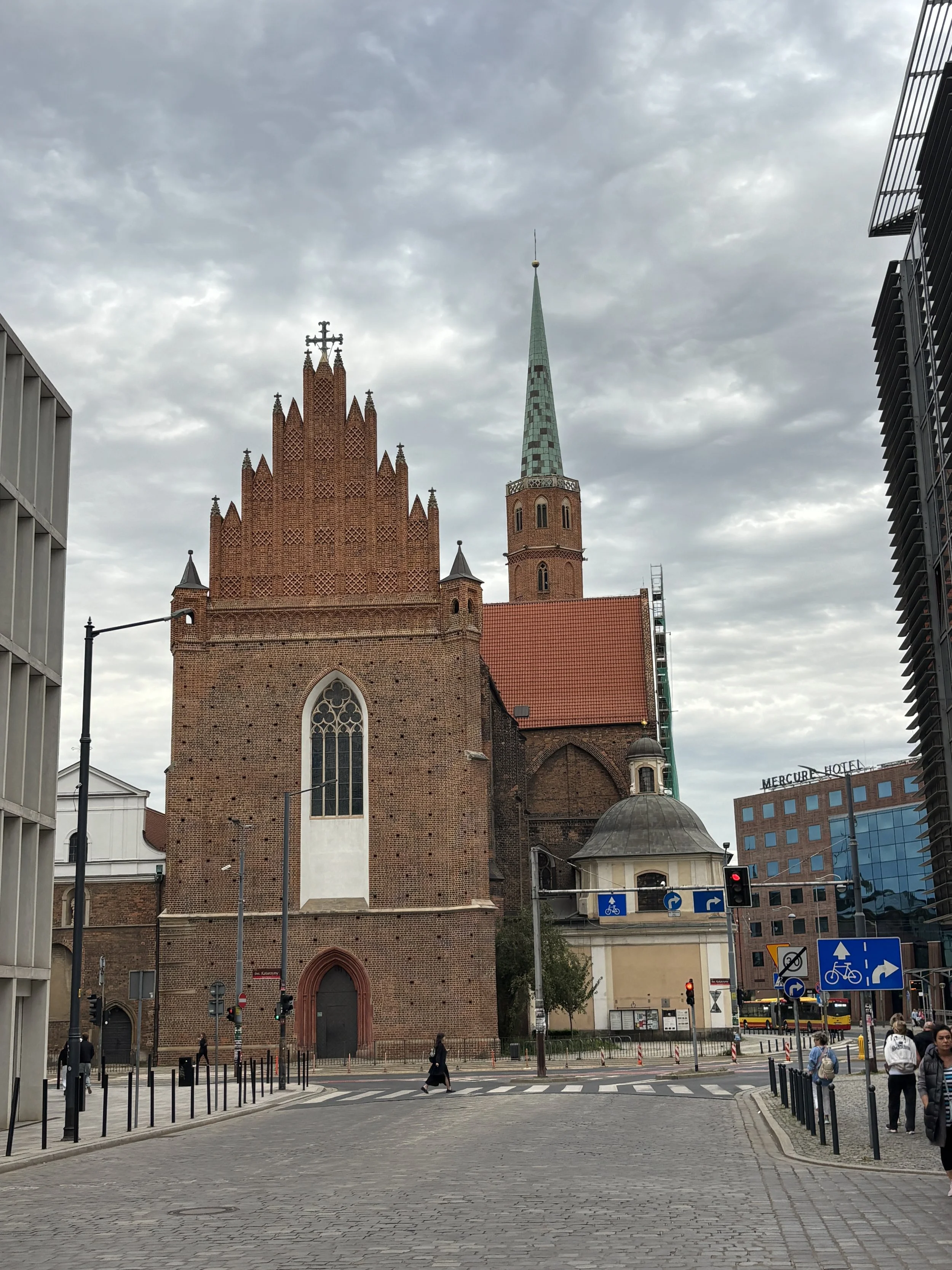
What to see outside Wroclaw’s historical center
So far we have focused our attention on a relatively small area around the historical center of Wroclaw, however, I would advise dedicating at least half a day to the district right to the east of it.
Here you will find the more modern extension of the city, as well as some gardened areas and some of the city’s most interesting museums, such as the Racławice Panorama, Hydropolis and Centennial Hall.
You can use the tram to get to the latte (more on trams and moving around Wroclaw below) but if you have the time and the inclination, they are also within reach on foot, particularly the Panorama, which is the closest to the historical center.
If you head in that direction, a good spot to replenish energies is “Pan Gruzin” a Georgian bakery located on Wita Stwosza.
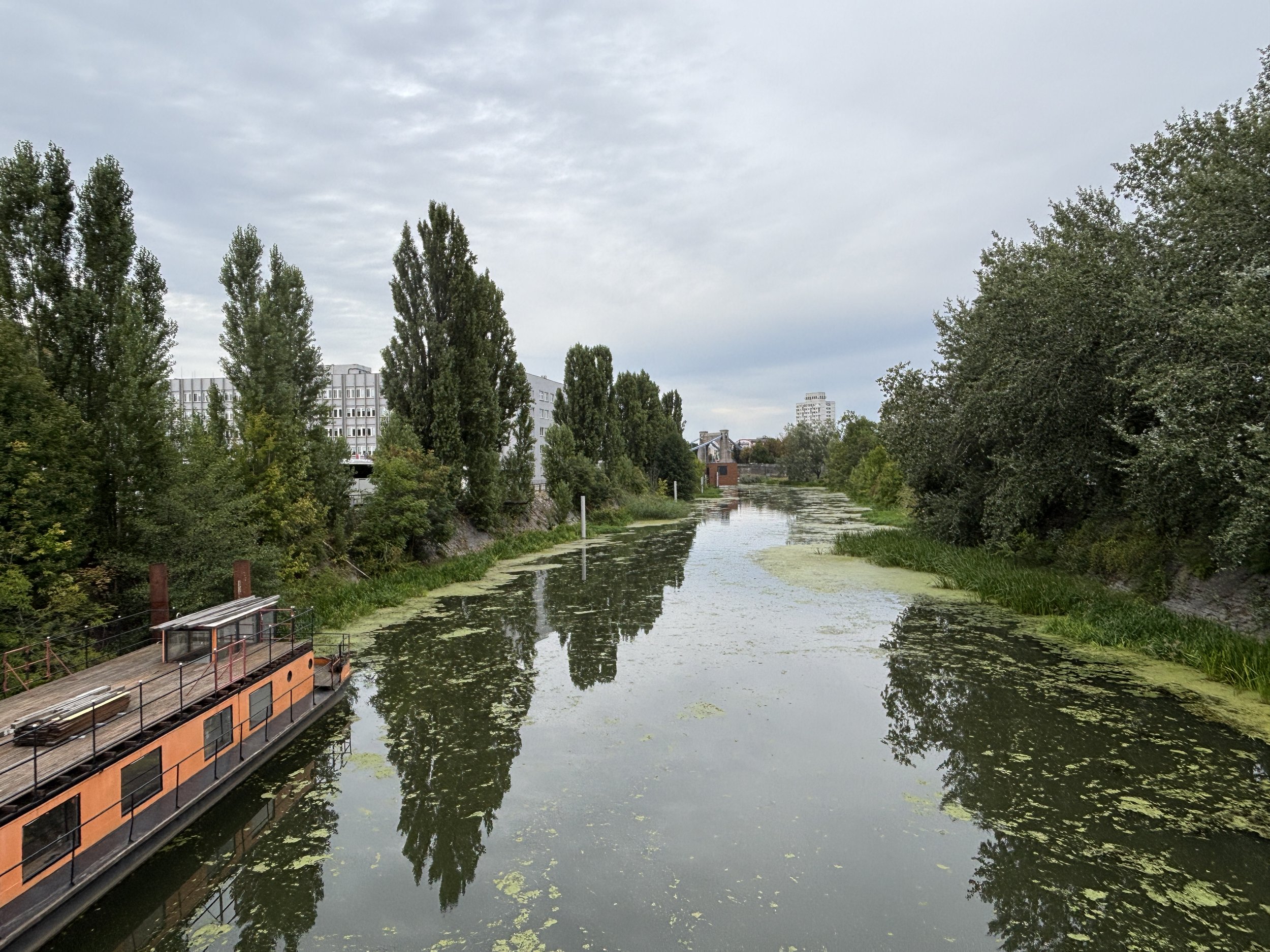
Visiting the Racławice Panorama
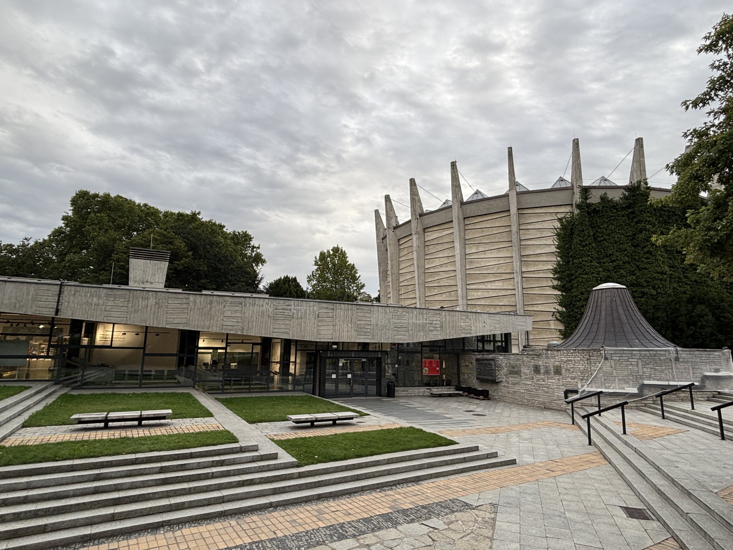
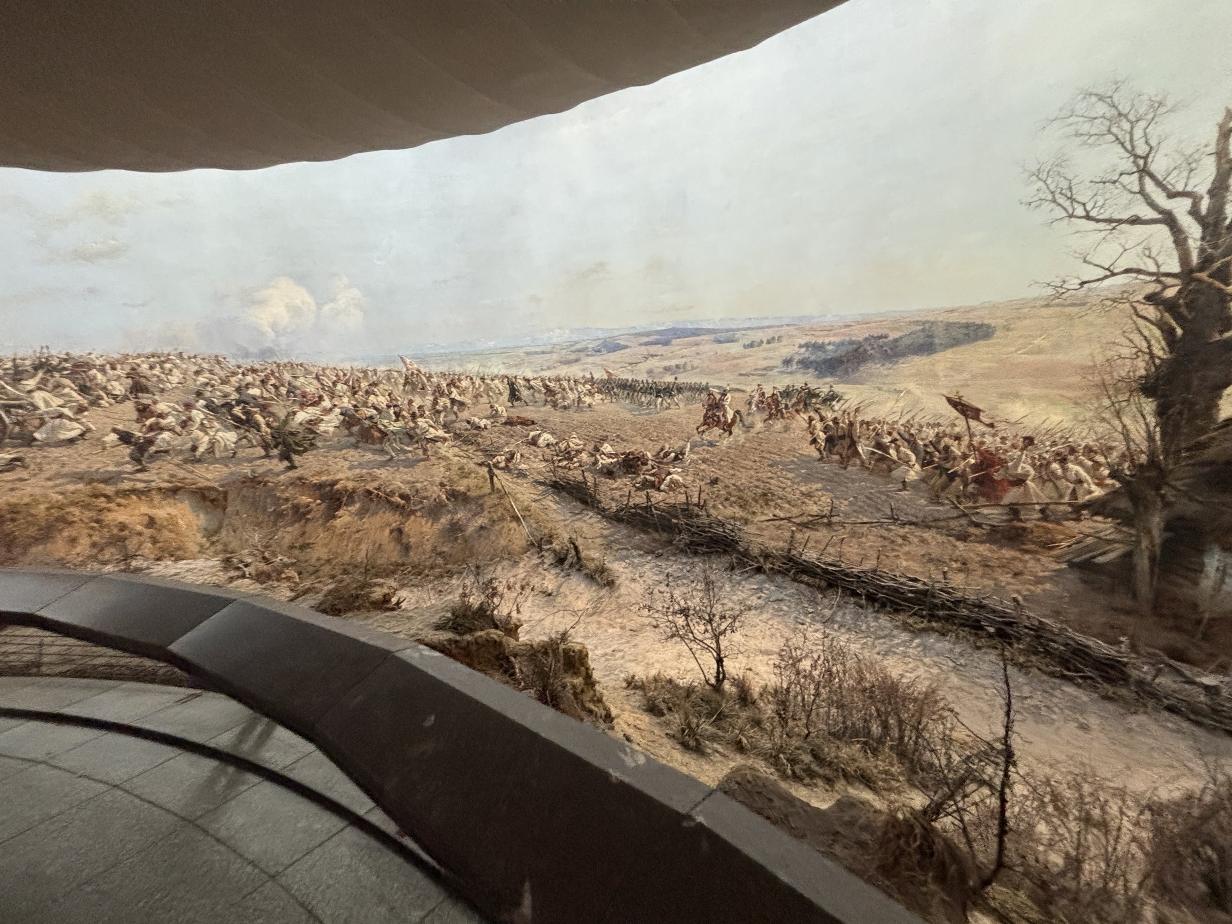
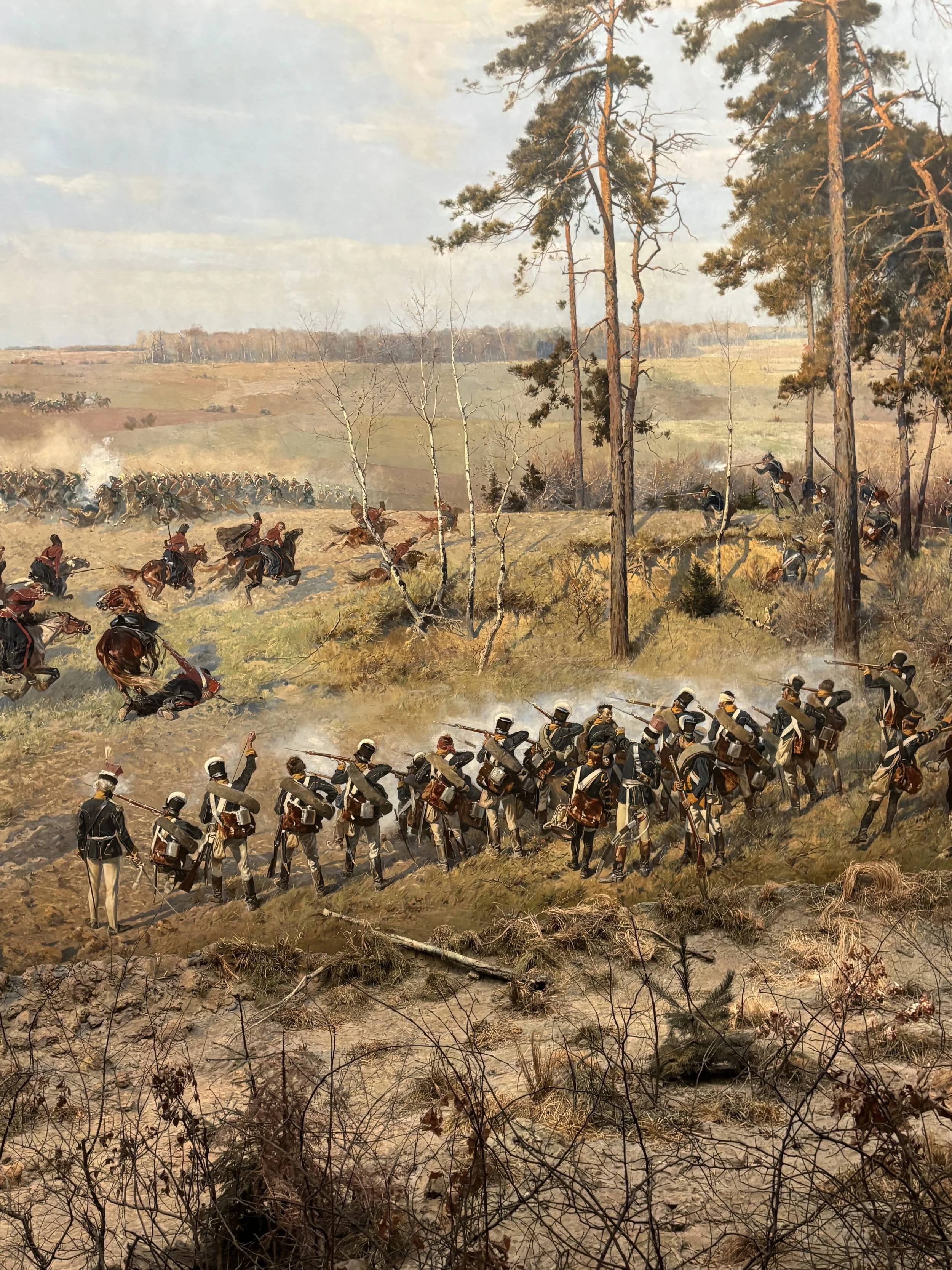
You can’t miss this one if you are a fan of historical paintings. The Racławice Panorama is an epic large scale 360º immersive painting which takes you to the Spring of 1794, when Polish troops and peasants won a victory over the Russian army in an attempt to restore Polish independence.
The Racławice Panorama was first exhibited in 1894, to mark the centennial of the battle, and it was exhibited in Lwow (then part of the Austrian Empire and currently, Lviv, Ukraine) until 1946, when it was sent to Wroclaw by the Soviet authorities together with other elements of Polish cultural heritage. Since at that time Poland was under Soviet domination, the painting was not fully restored until the 1980s, when a special building was built for it.
The painting is truly impressive and it does a great job in getting you in the midst of the events. Access is done by groups every half hour and the ticket (which costs 50 PLN, around €10/$11) includes an audioguide with a very thorough explanation of the battle and what is depicted in each scene of the painting. Totally recommended!
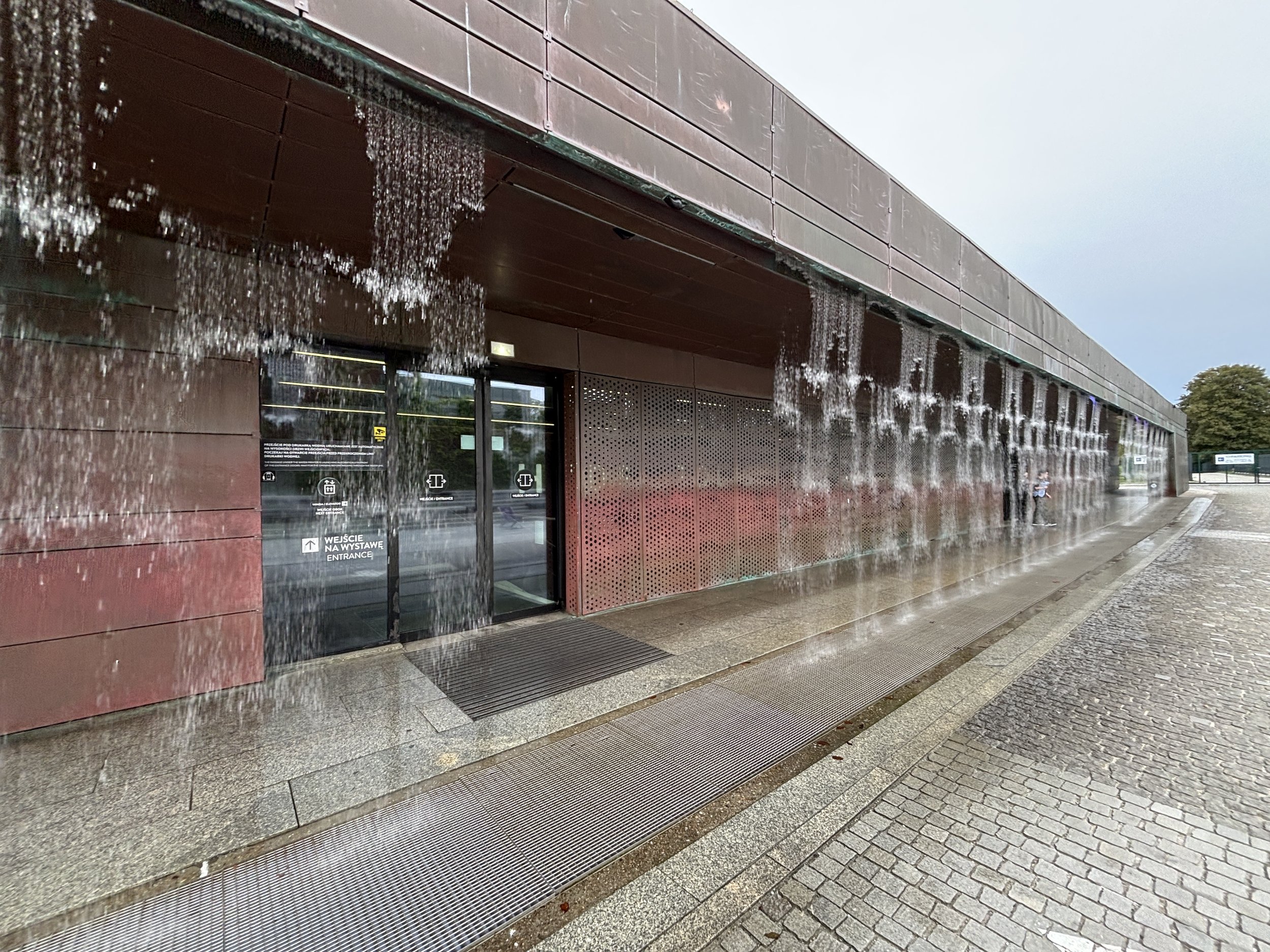
Hydropolis, a water museum
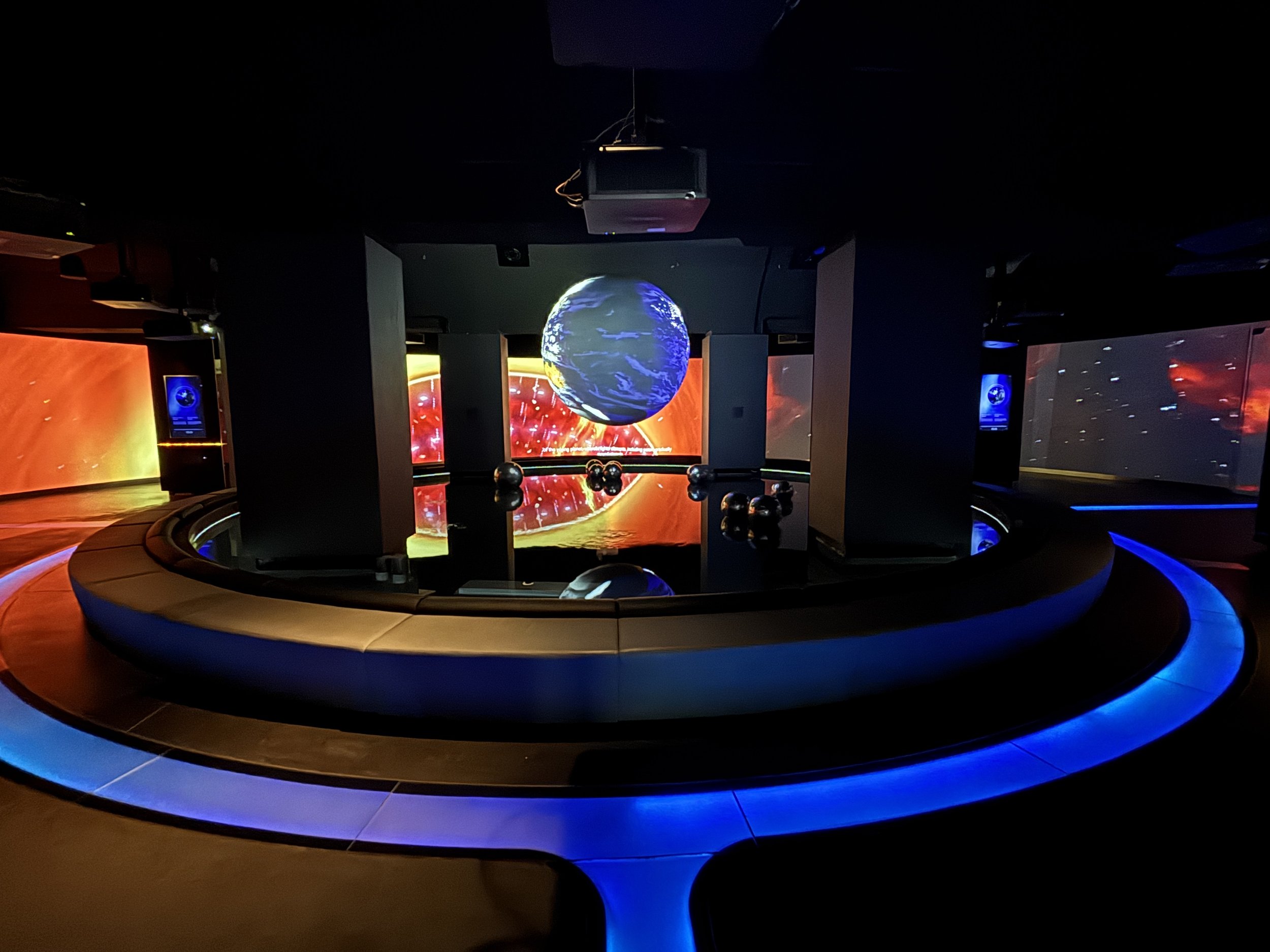
This is a modern museum dedicated to the topic of water in a broad sense: rivers, lakes, oceans and so on.
It is located in the city’s former water treatment facility, with the exhibits occupying an underground Neo-Gothic reservoir which used to store the city's drinking water from the late 19th C. 1890s (it is in pieces of infrastructure like this, together with the aforementioned Market Hall and the soon to be explained Centennial Park, that you can see what a forward-looking place this city was at the time!)
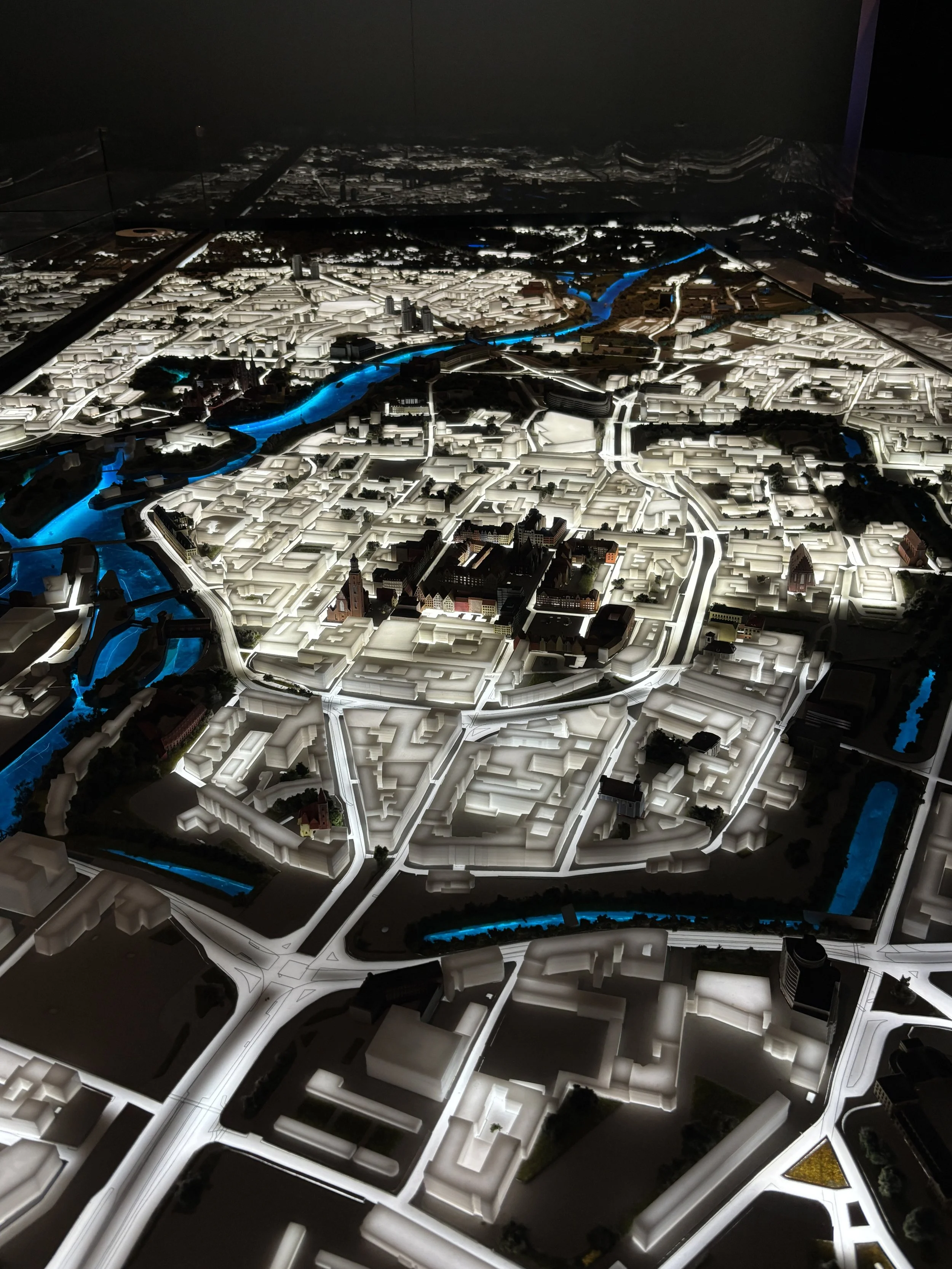
One of the highlights of the exhibition is an interactive map showing the extent of the floods that Wroclaw suffered in 1997, with large portions of the city going under water. That event led to an upgrade of the city’s flood management and protection systems which withstood well another potential flooding event in 2024.
Hydropolis is not a huge museum, you can see it well in about one hour. To be honest, while I found it reasonably interesting , I got the feeling that it tries to cover too much ground (from the ocean depths all the way to Wroclaw’s water system) to do so effectively. If you have to prioritize, I would rather go to the Panorama and Centennial Hall first.
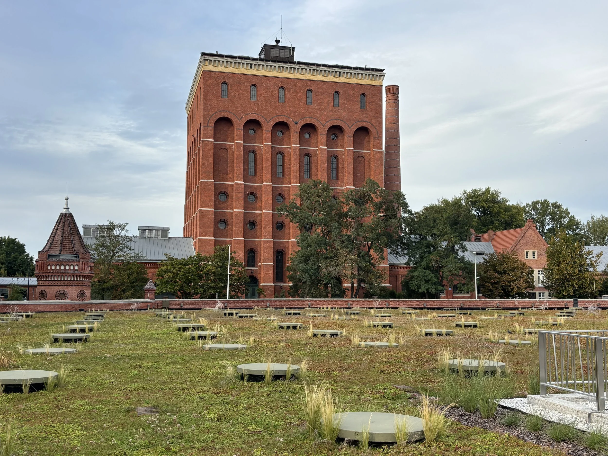
Tickets cost around 50 PLN (€10/$11). Most of the exhibition is inside, but you can also get to a garden roof from where you can see the old brick tower which used to act as a filtration tank for the city’s water supply.
By the way, the water tower has its own dwarf, which you are encouraged to located with the help of a telescope placed in the garden for this purpose!
Centennial Park - Wroclaw’s UNESCO World Heritage Site
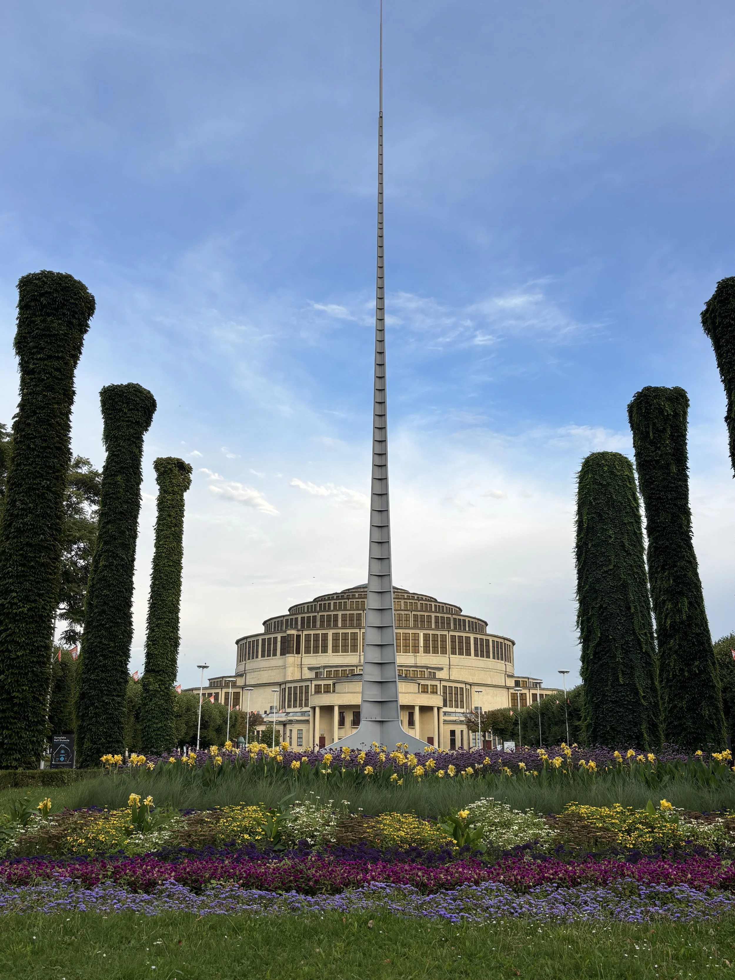
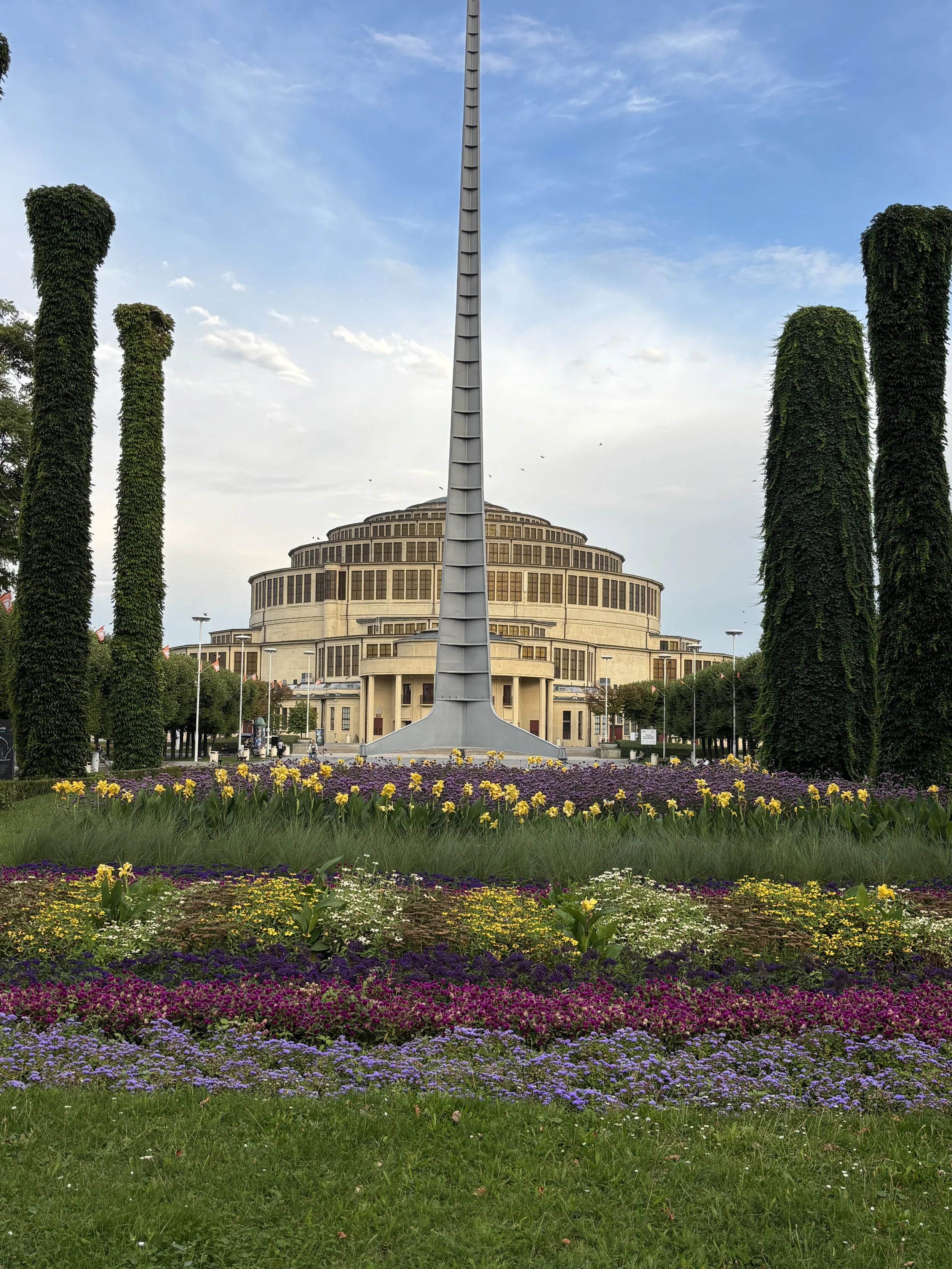
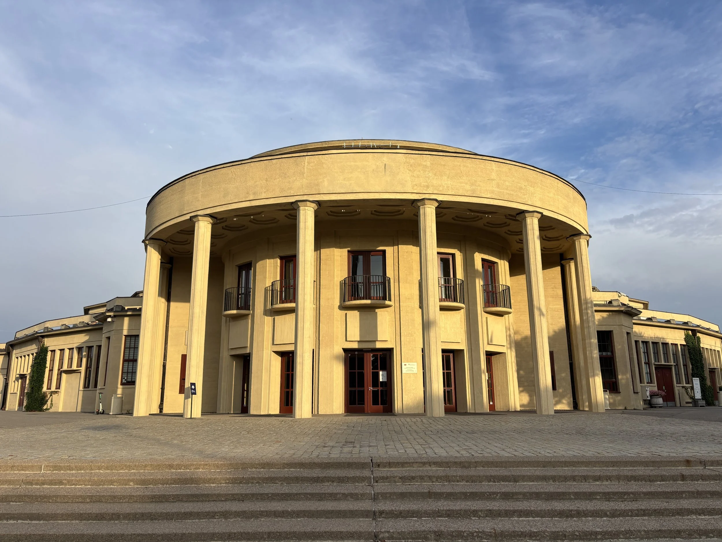
Centennial Park is the only site of Wroclaw which has UNESCO World Heritage status and, interestingly, it is not from the Medieval or early Modern era, but was built in 1913 instead!
Centennial Hall was designed by German architect Max Berg, to mark the centenary of the 1813 Prussian rising against Napoleon. Its reinforced-concrete dome is reminiscent of the Pantheon, in Rome, although, at 65 metres across, it is way larger!
It is possible to visit the interior, although I was too late for that (last admission is at 5pm). I think the most visually interesting elements are on the outside, though.
It is actually quite amazing to think this type of futuristic, yet very elegant, architecture was a thing more than 100 years ago. And even more amazing to think it survived the destruction of WW2!
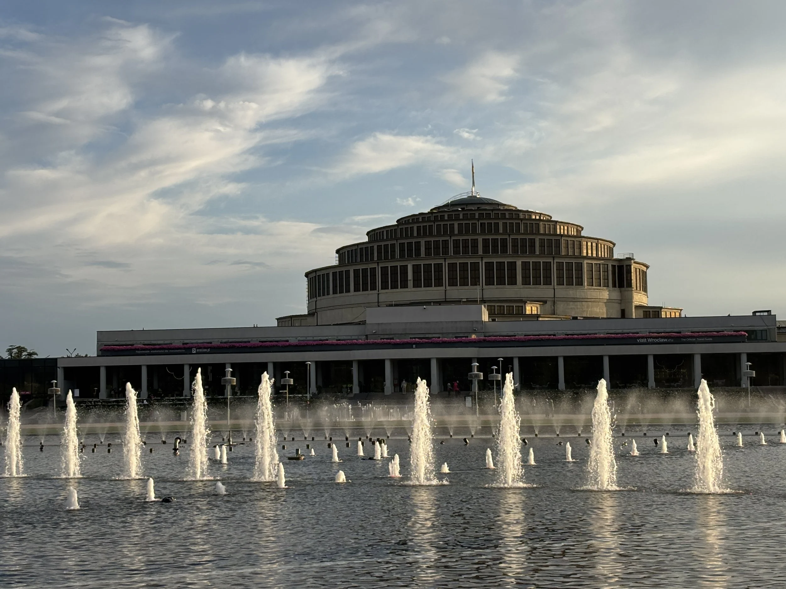
The circular hall and the spire are the most striking elements of Centennial Hall, but they are part of a much larger complex, which includes the lake and fountains, as well as the adjacent Japanese Garden.
While I didn’t have time to visit the Japanese garden, I heard good things about it and can be a nice addition to your itinerary if you go all the way to Centennial Hall. The garden, which is the third largest of its type in Europe, was set up also in 1913 and restored by Japanese specialists in 1995.
The fountain shows run hourly during the summer (May to October) and on some festive days and weekends there are special evening shows which attract large crowds. I didn’t have the chance to see any of these, but my advise is to check the schedules, because it can be a nice addition to your visit.
Wroclaw-la-nuit: Neon Gallery
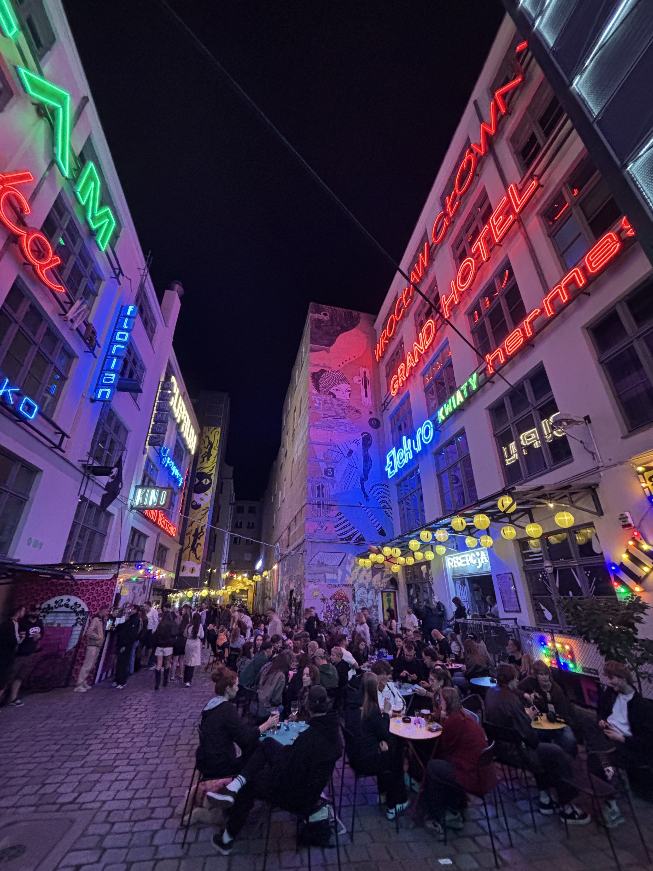
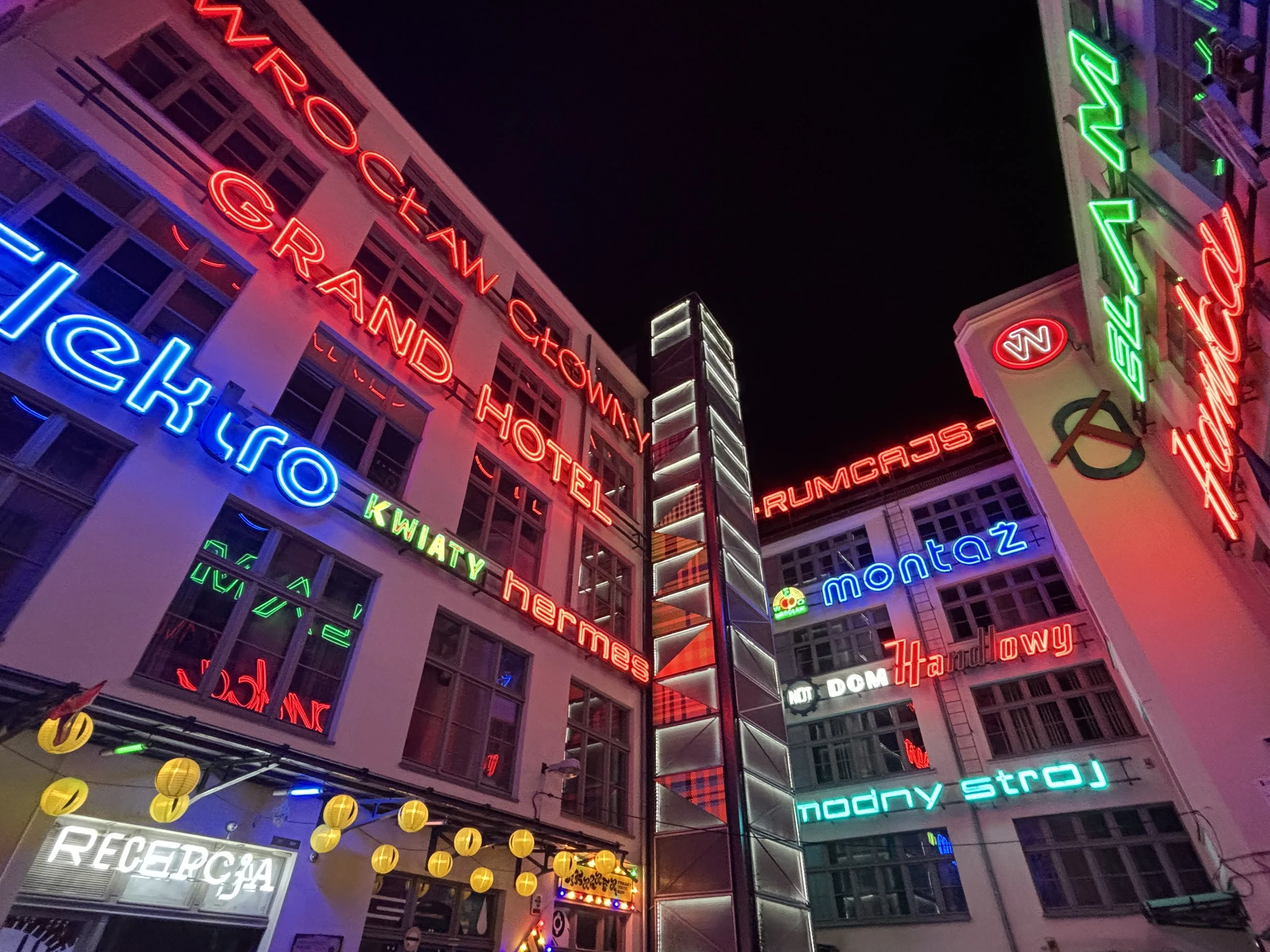
Even if you are planning to skip Wroclaw’s nightlife (as it was my case!) it is worth having a peek at the Neon Gallery, since this is quite a unique and scenic spot and it is literally next to Rynek.
Well, in fact, it is located into what has been named the “Four faiths district”, an area of the historical center which is called this way because it hosts temples of as many religious denominations (Catholic, Lutheran, Orthodox and Jewish) and has become a sort of bohemian side of Wroclaw.
This is, indeed, the vibe of Neon Gallery, which is a large courtyard lined with bars and nightclubs. There are, actually, a couple more courtyards next door which serve the same function, but Neon Gallery is the most visually striking.
It had already a lively atmosphere at a relatively early hour. Of course, the warm weather helped (not sure whether is it the same in the middle of the Polish winter!).
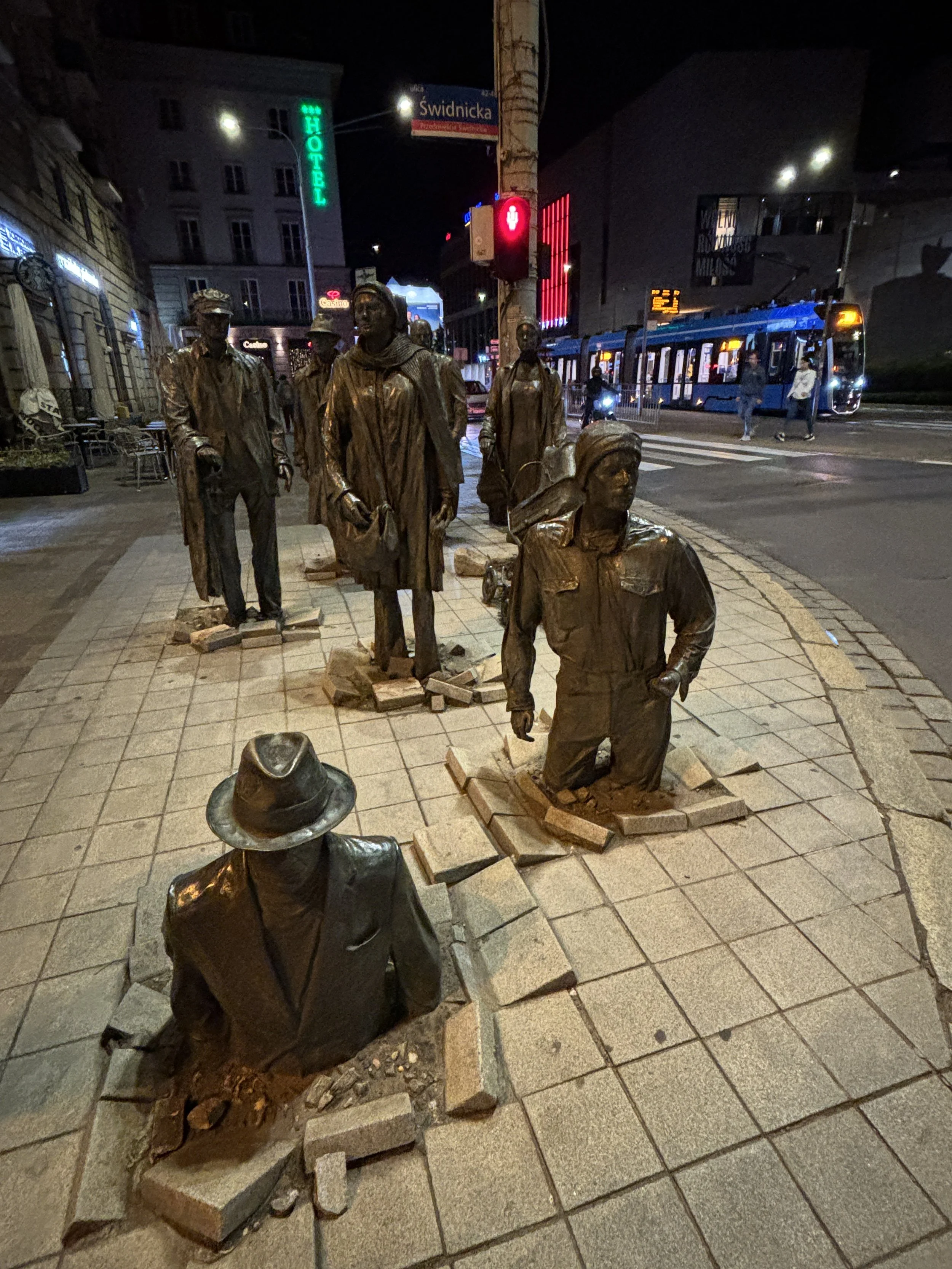
As you can see below, the dwarves are not the only bronze statues you can come across when walking around Wroclaw!
How to move around Wroclaw
Wroclaw is not a huge city and most of the historical center and many of the sites mentioned in this post can be reached on foot from Rynek. However, you may still need some means of transportation to get to some of the more relatively peripheral places, such as Centennial Park or Hydropolis.
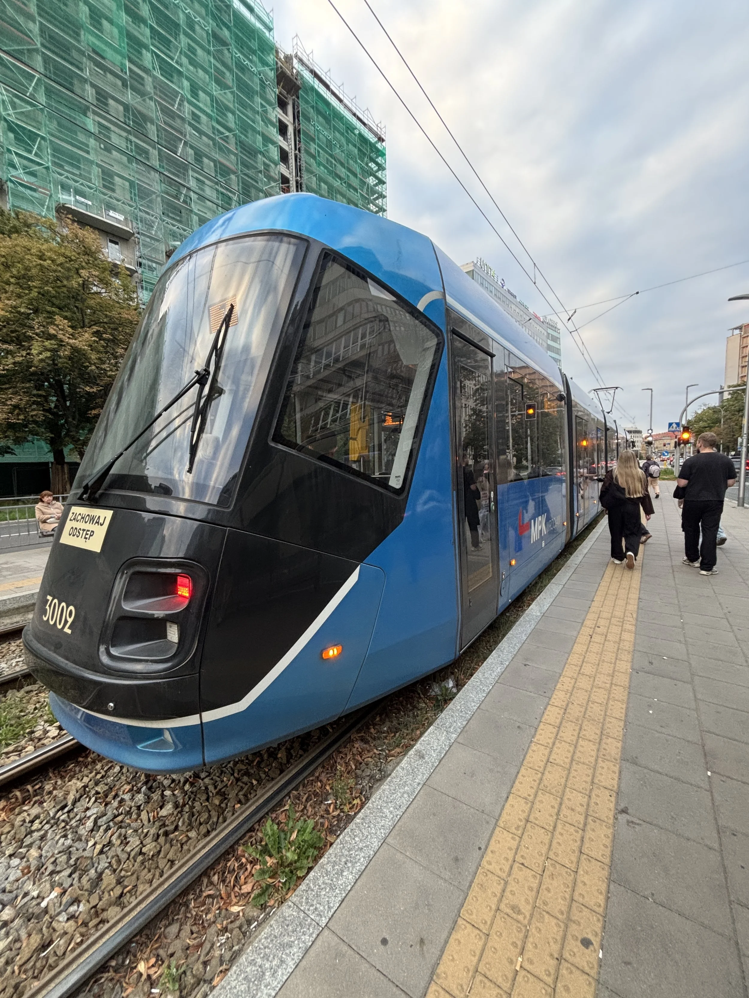
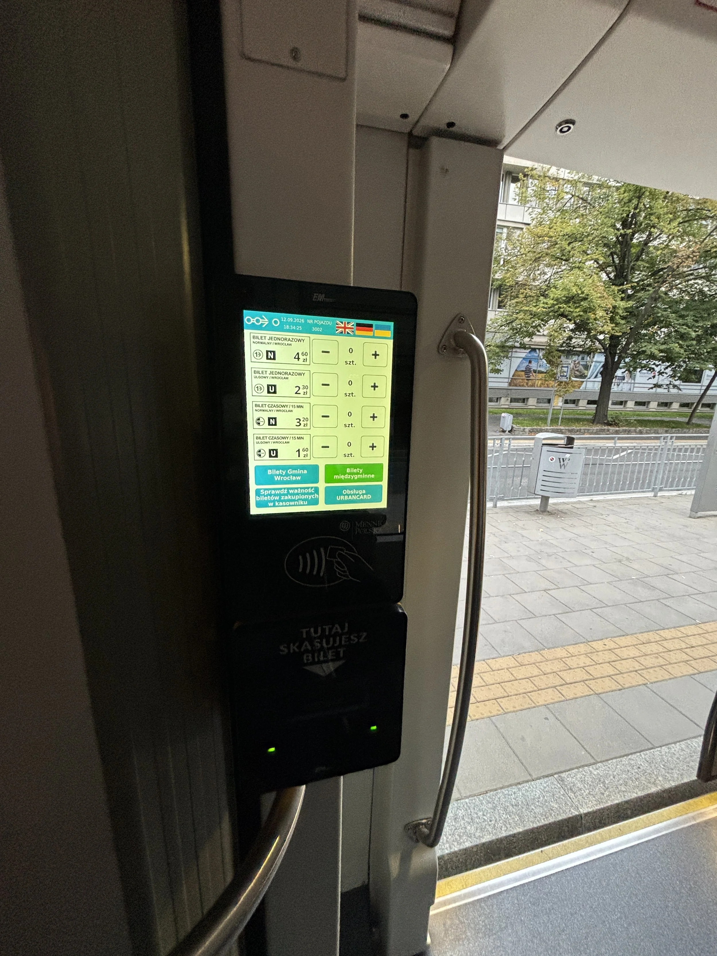
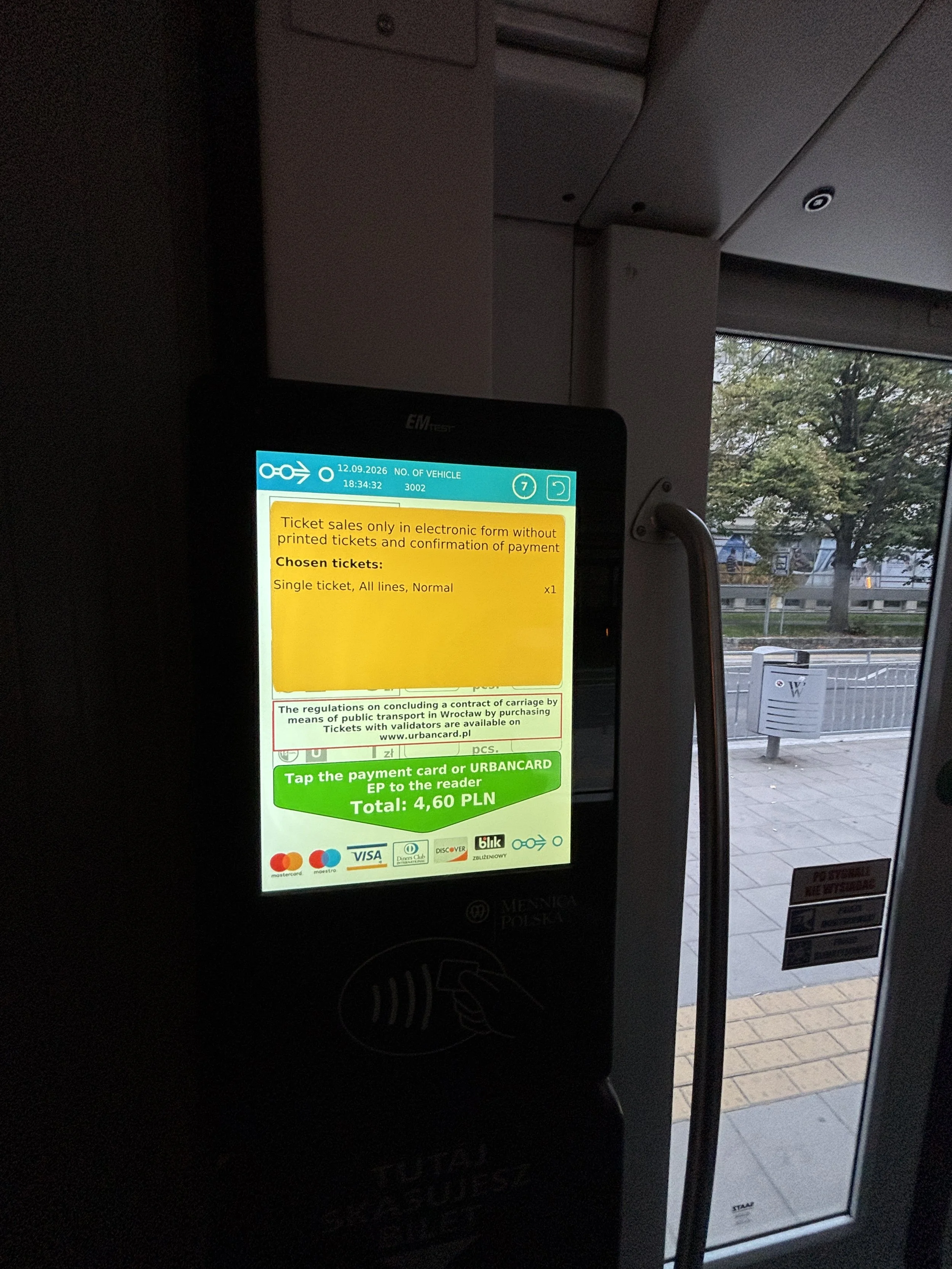
Trams provide a convenient and cheap way to move around the city. They pass frequently along the city’s main axis and you can pay straight away with your credit card at digital terminals inside the tram.
These have modern, touchscreens with a multilingual interface, so the whole process is pretty simple. A single ticket costs 4.5 PLN, which is around €1 (or $1).
I also used Bolt (the European alternative to Uber) a couple of times and it worked also well and was relatively cheap (a 10-15min urban journey costing me the equivalent of €5/$5).
Last but not least, if traveling to and from the airport, you can take Bus 106, which stops by the Renova building at the edge of the old town and runs every 30min or so. Ticketing works exactly the same as on the trams.
Three great places to eat in Wroclaw
1 - Restaurant Przystań & Marina
Księcia Witolda 2, 50-202 Wrocław
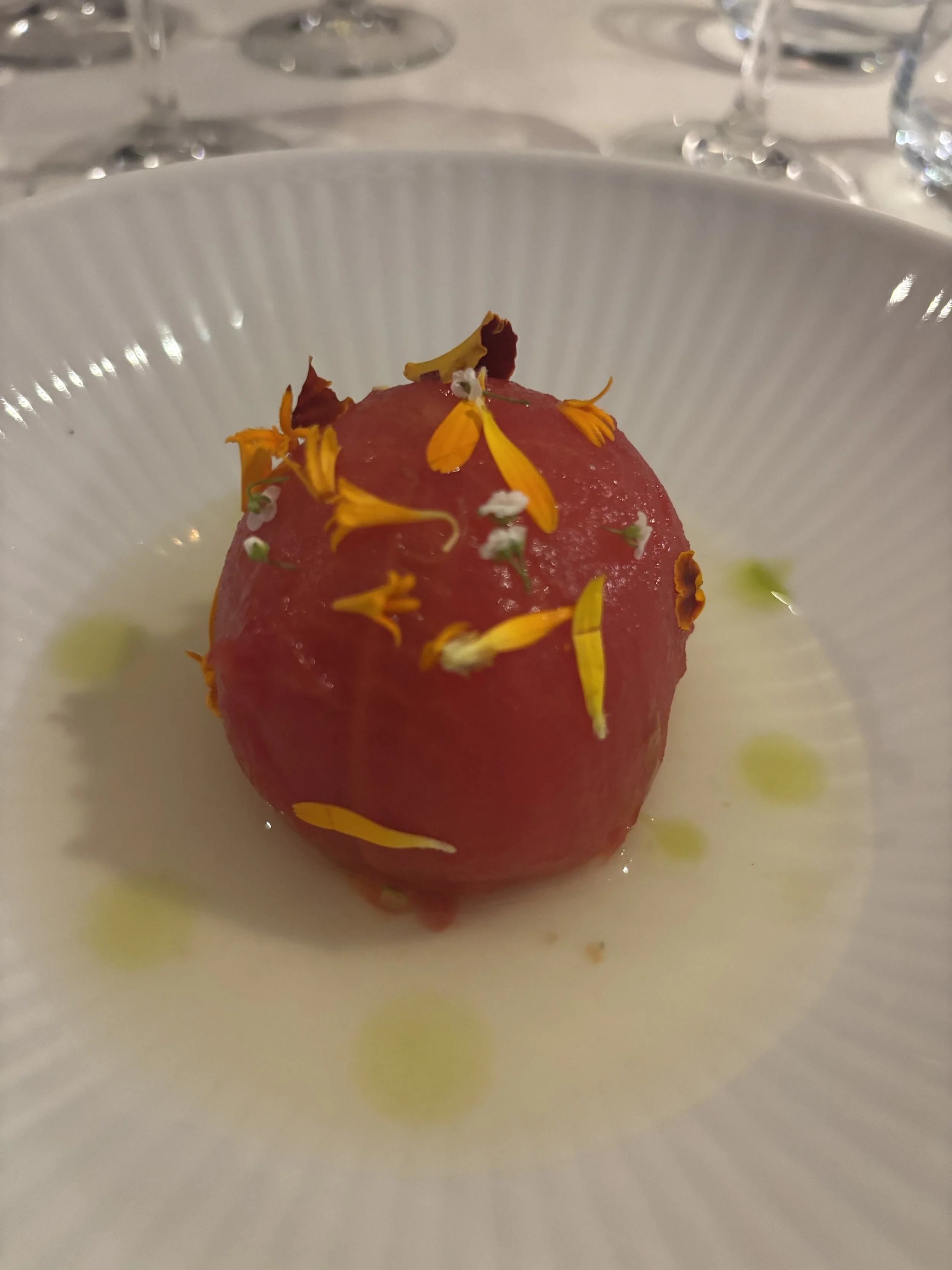
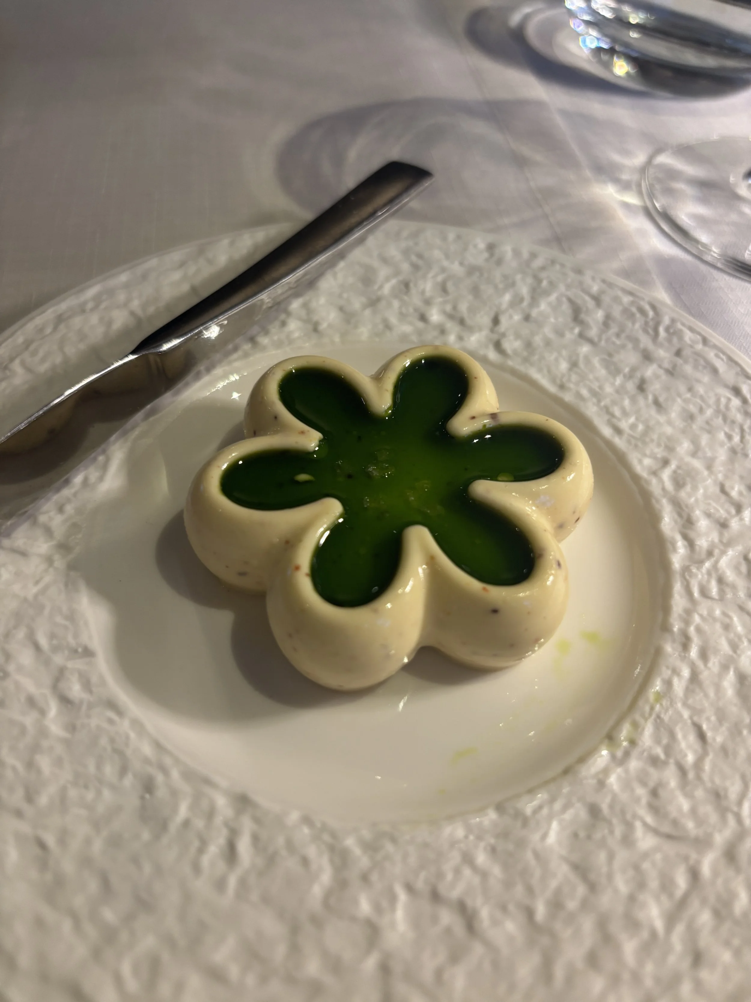
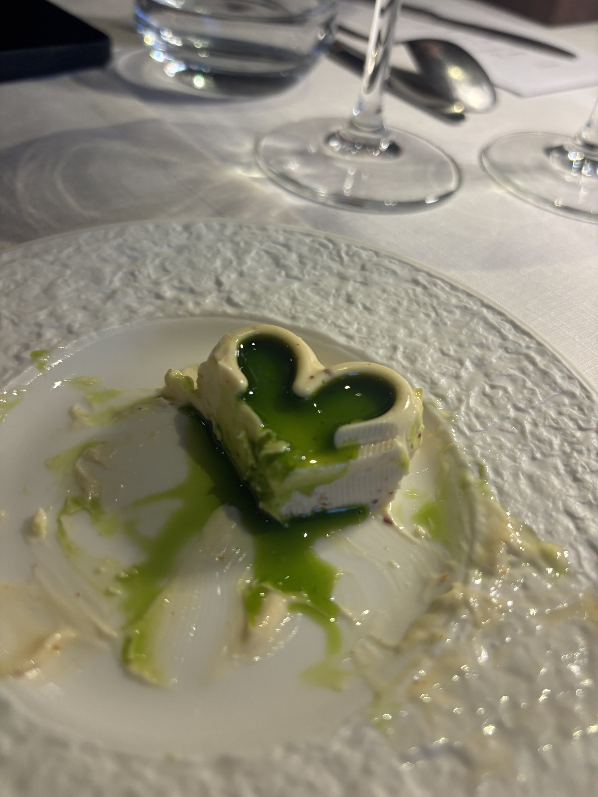
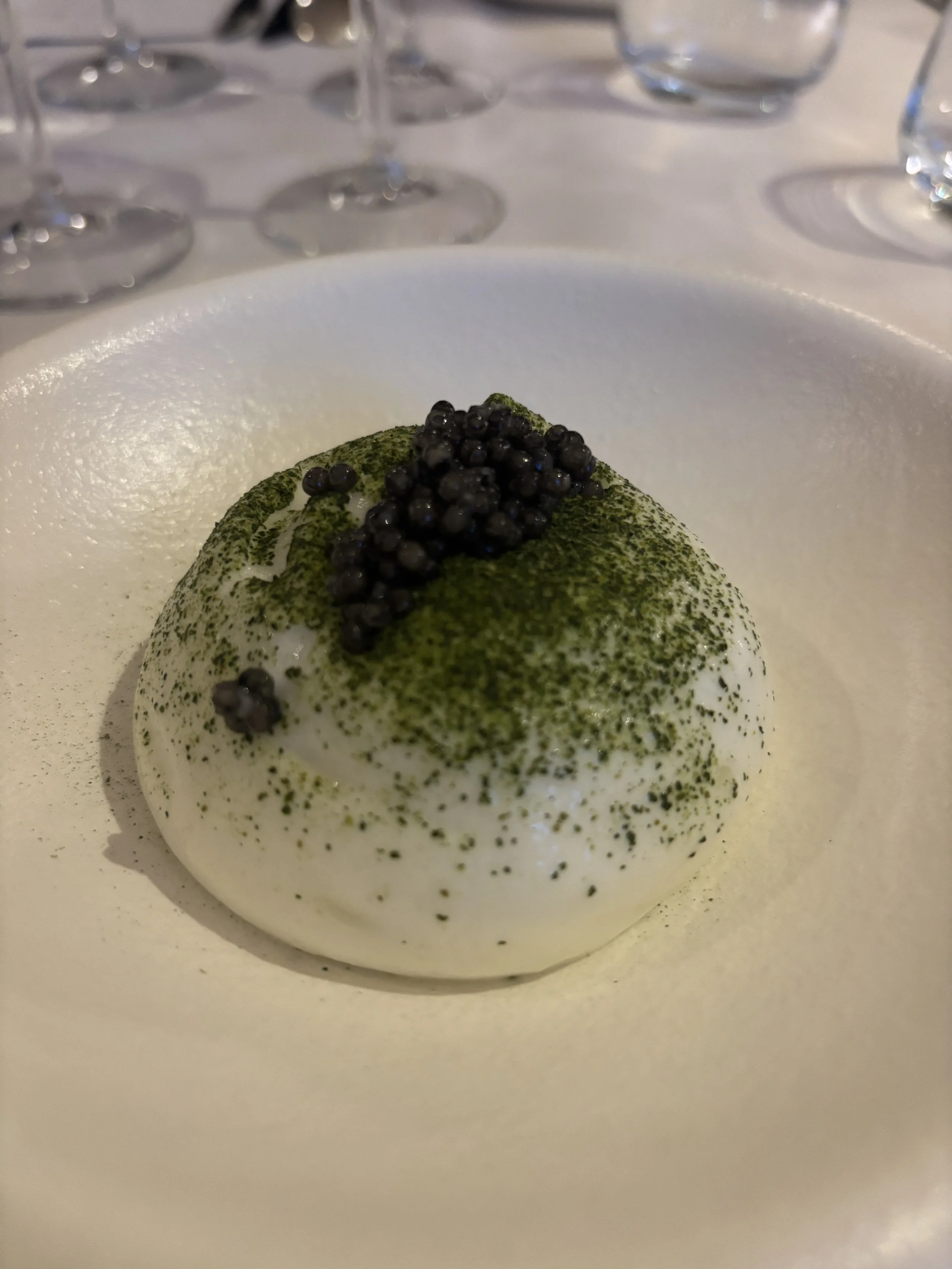
This is a modern and quite upmarket restaurant which serves Polish cuisine with European influences. It has got a Michelin guide mention and has also been listed by Forbes among the Top 50 restaurants in Poland.
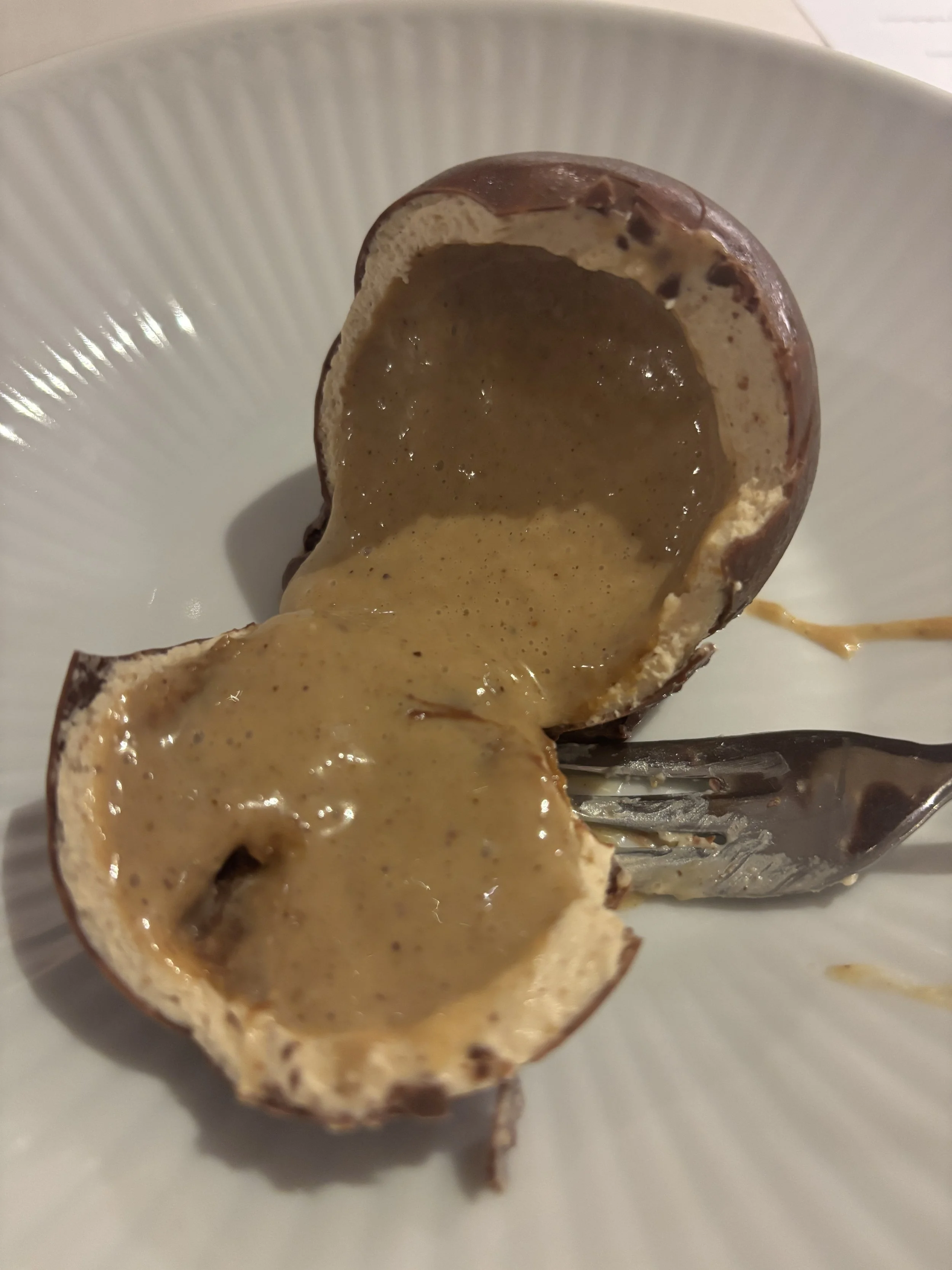
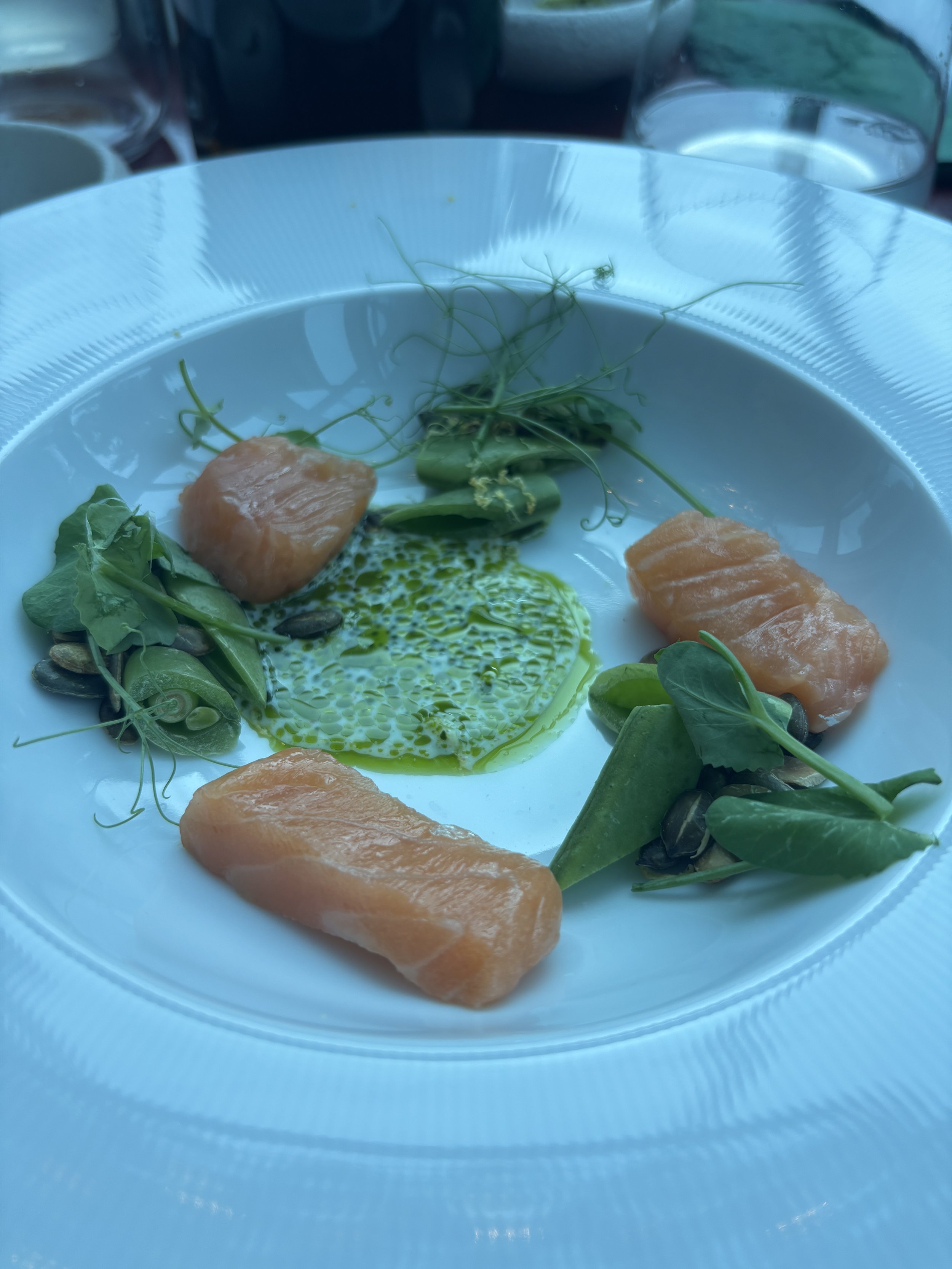
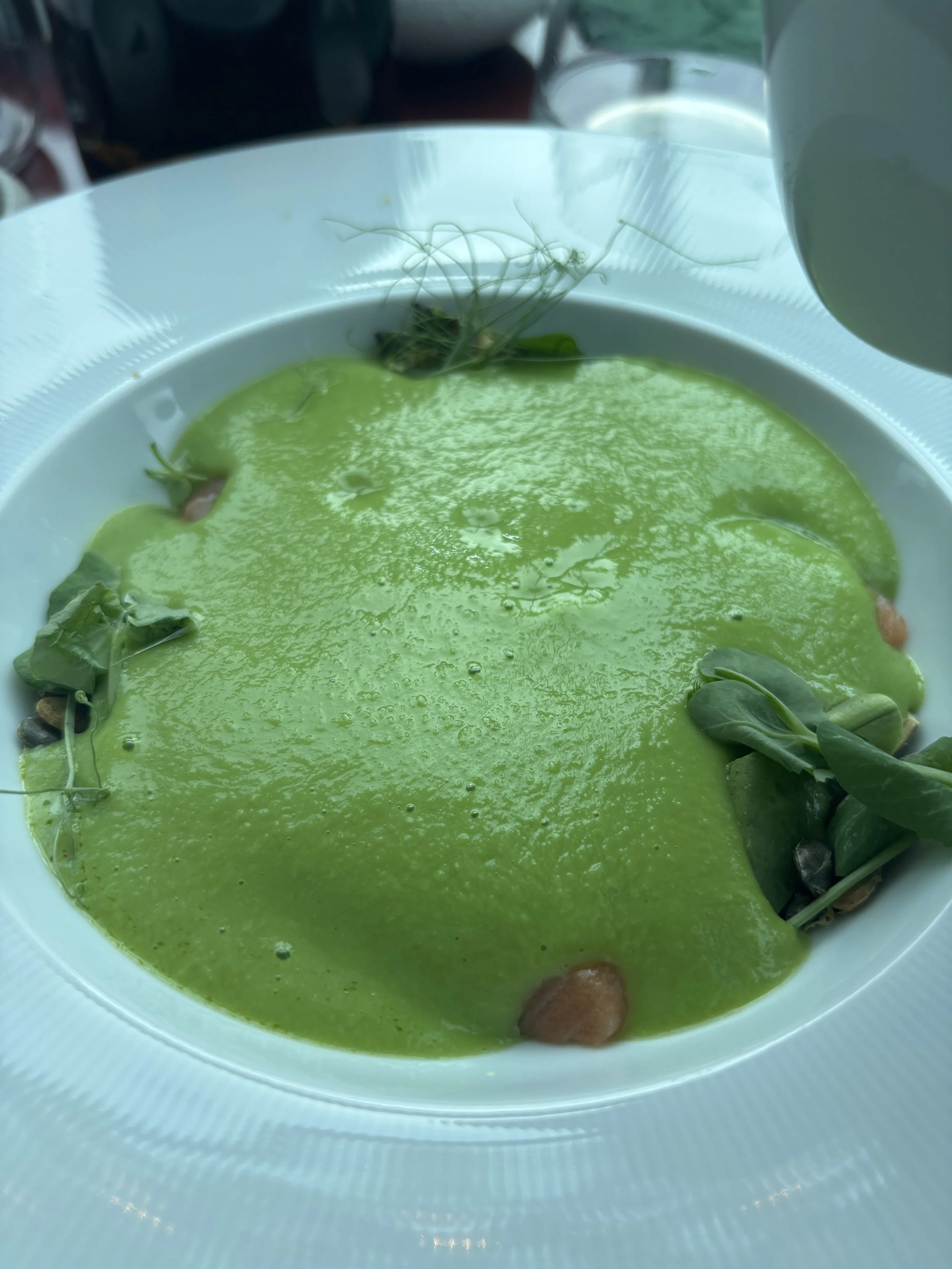
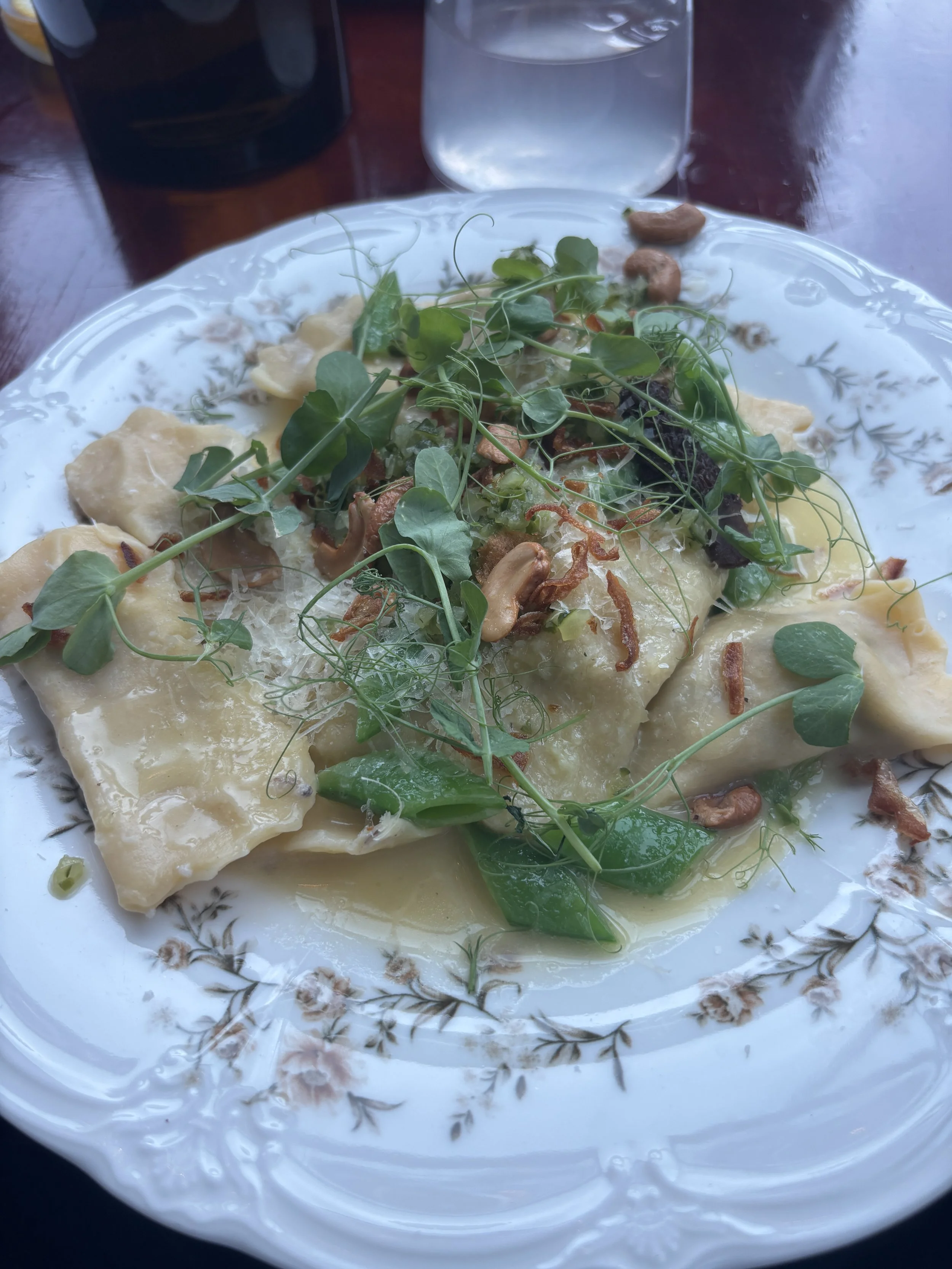
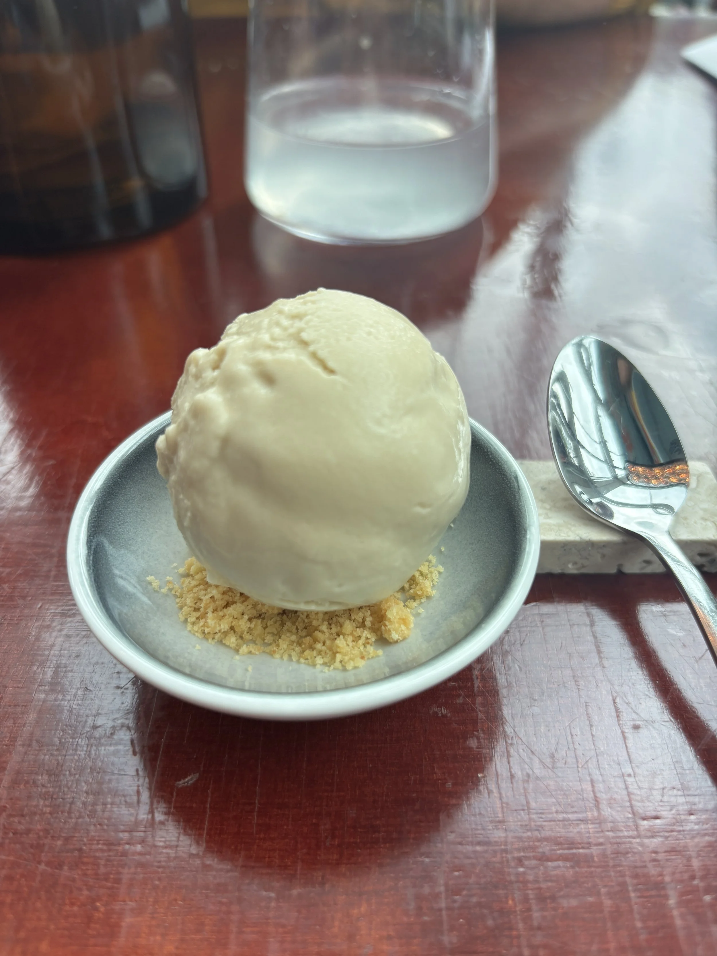
The day I was visited our group got to try a degustation menu (see below), which provided quite a broad sampling of its offering. The presentation and the taste was impeccable throughout!
See the photo gallery below:
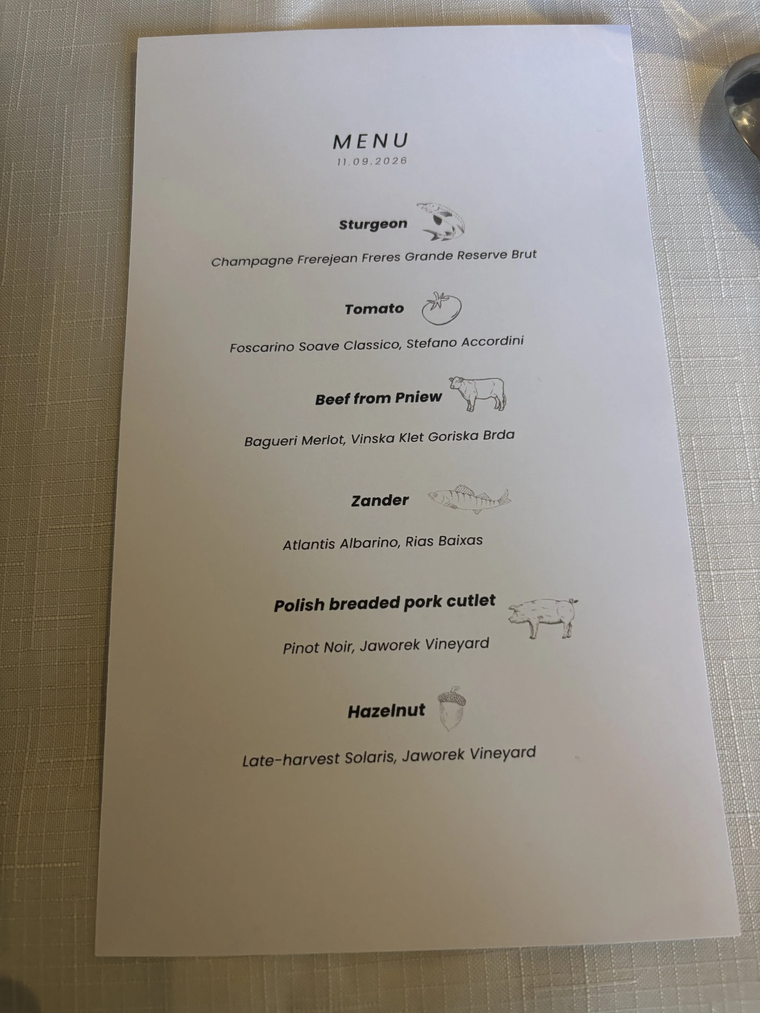
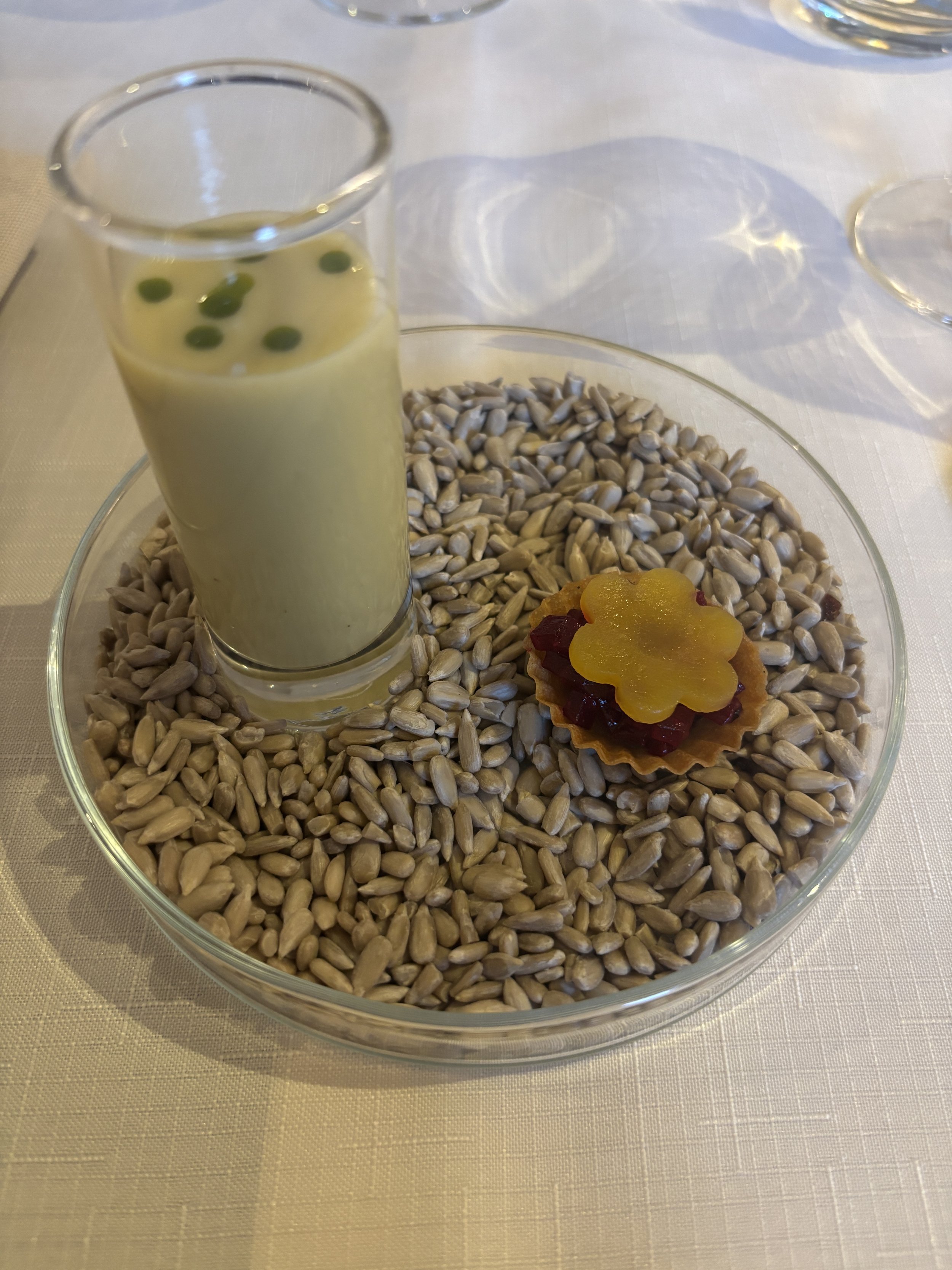
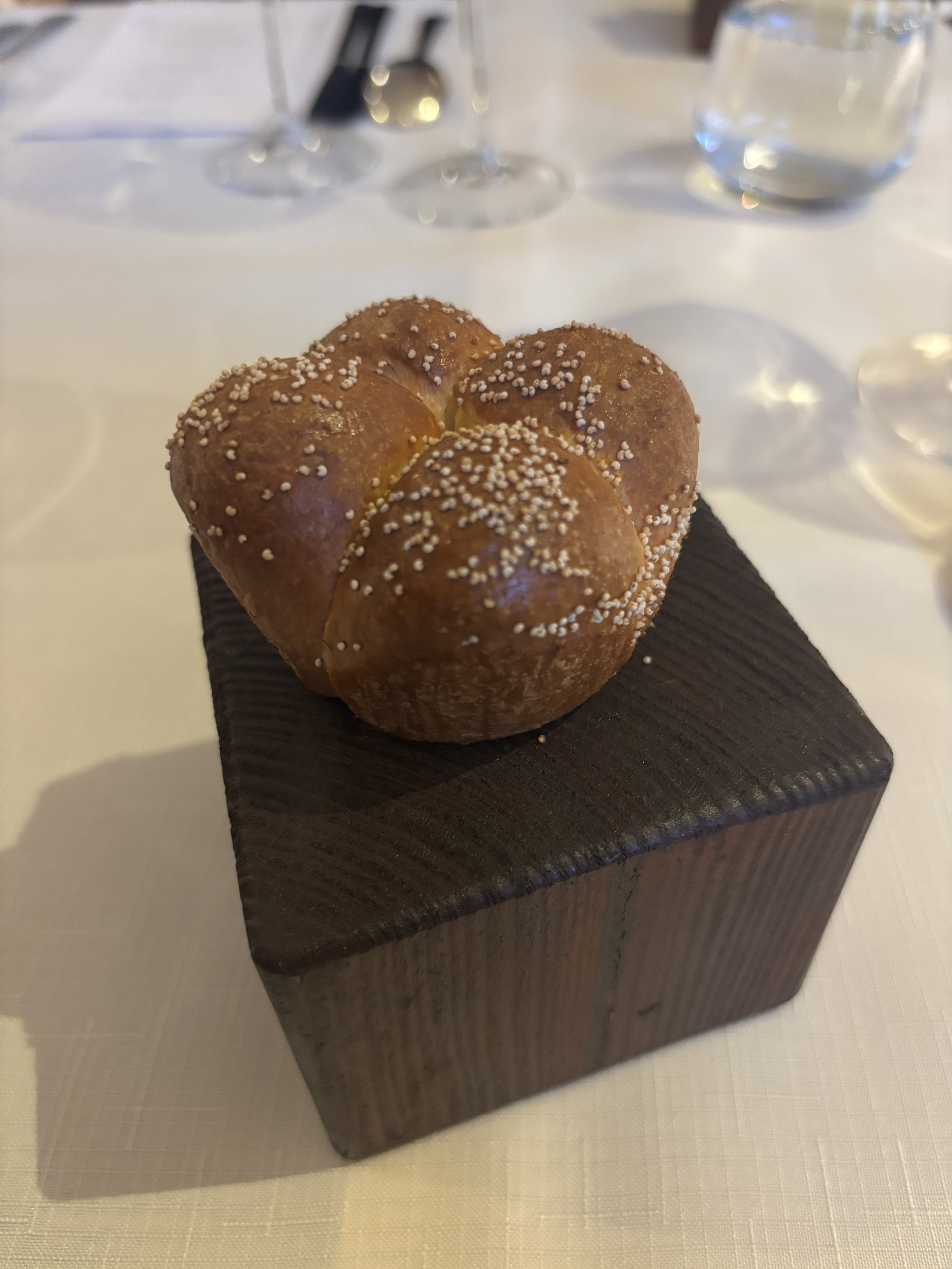
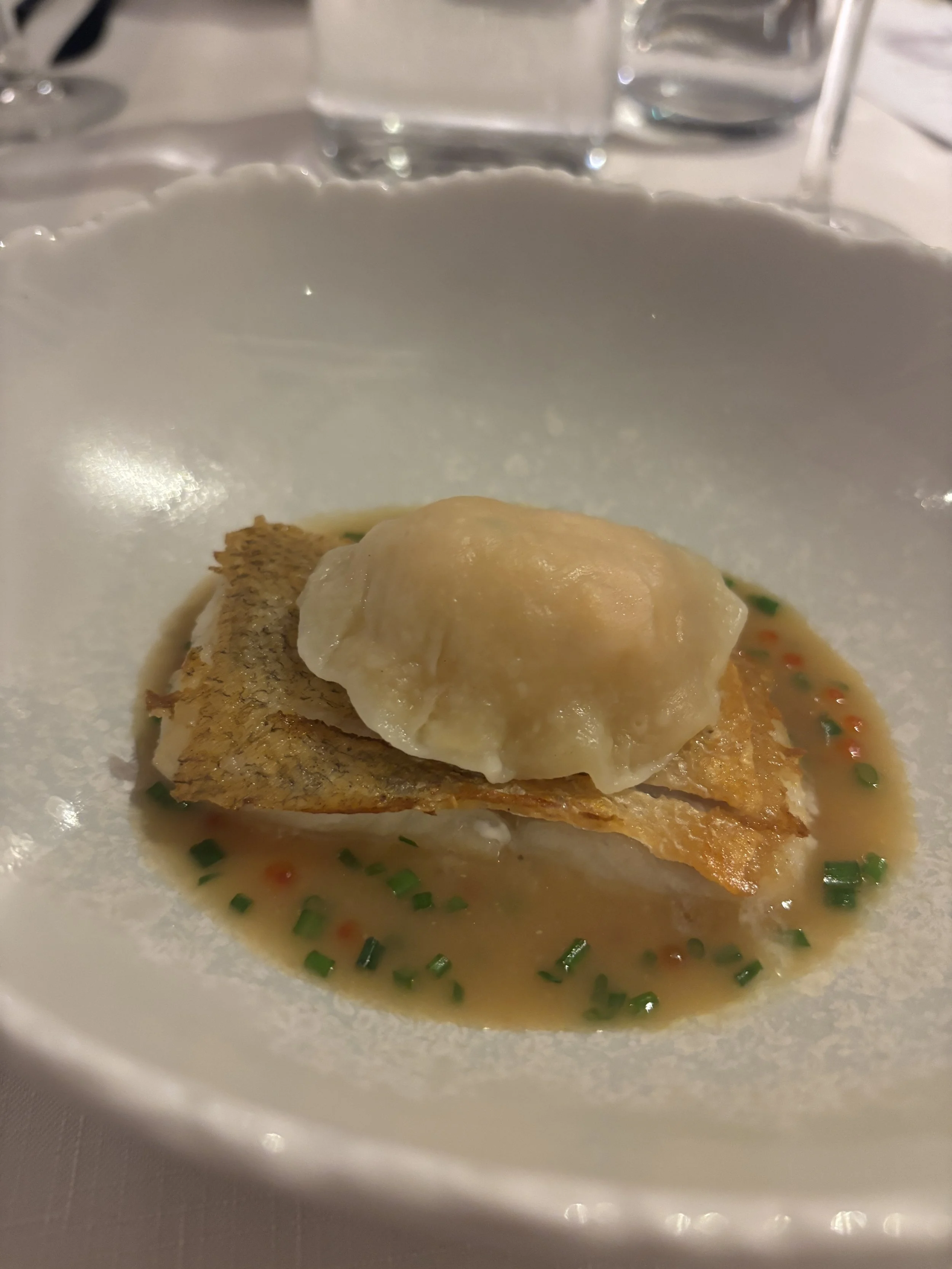
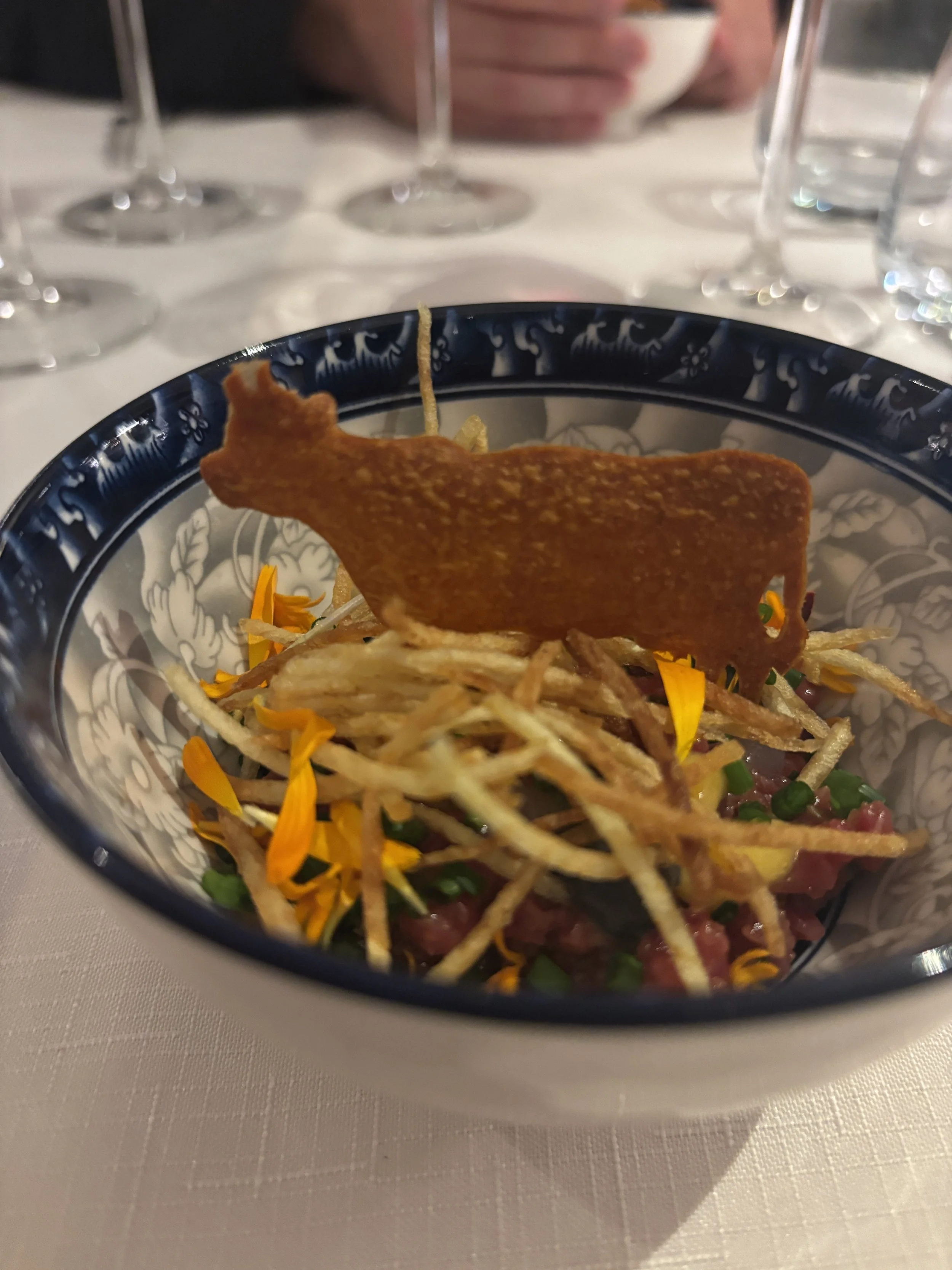
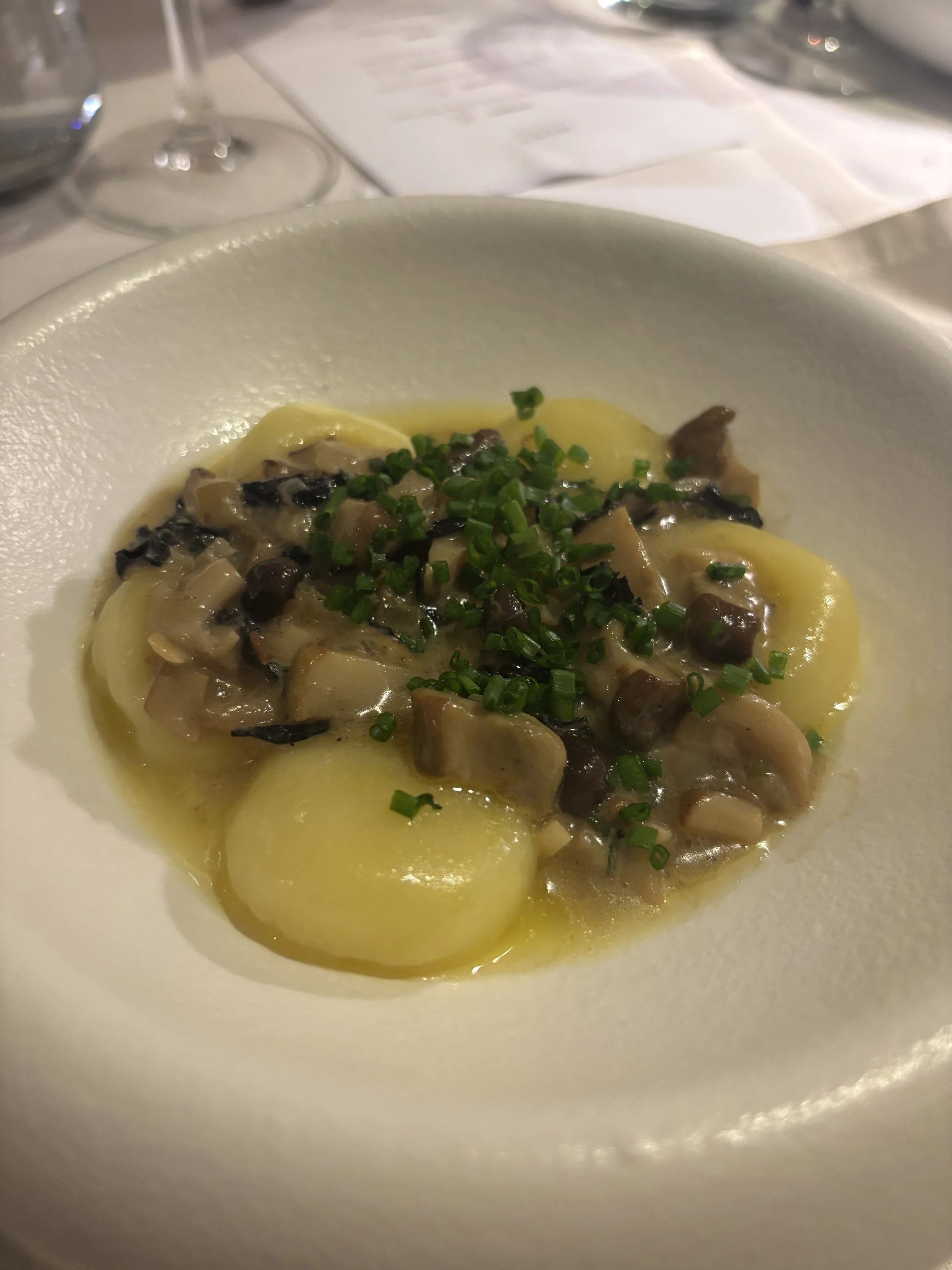
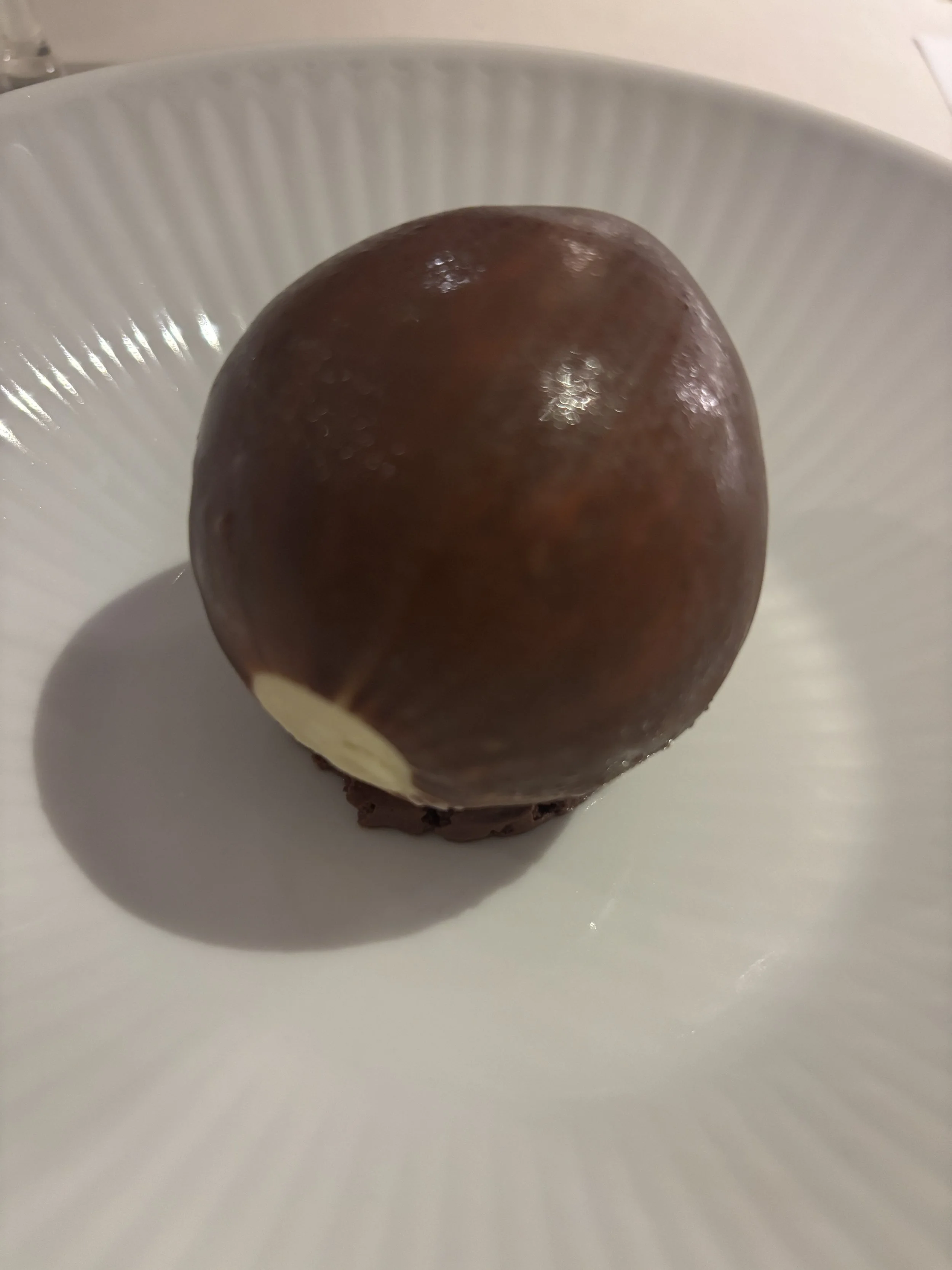
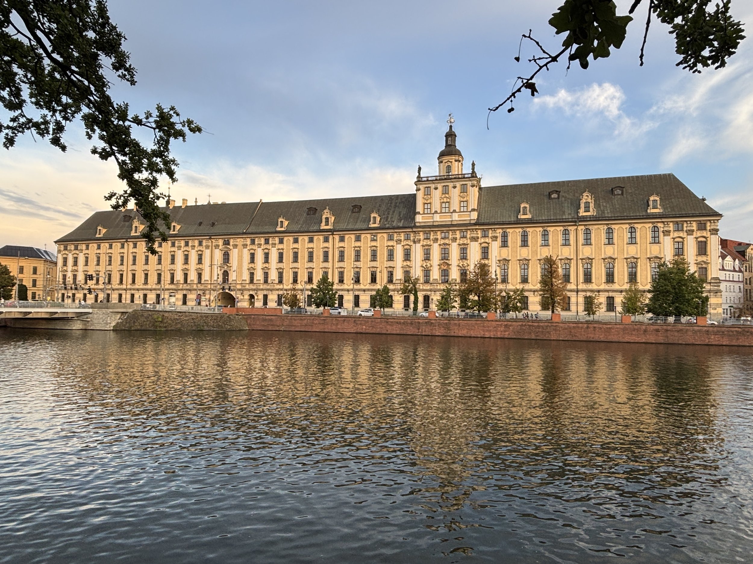
An added bonus if dining at Przystań & Marina is the view of the university building just across the river (the restaurant has a terrace actually).
The name of the restaurant “Przystań & Marina” means actually “harbour & marina” in a hint at its location near the water on one of the islands in the middle of the river Odra.
2- Vertigo Jazz Club & Restaurant
Oławska 13, 50-123 Wrocław
This is an iconic place in Wroclaw which acts, simultaneously as a restaurant and jazz bar. It is located in a basement right in the city center and is, apparently, the only jazz bar in town. It has shows pretty much every night and it serves pretty tasty food in a nice, relaxed atmosphere.

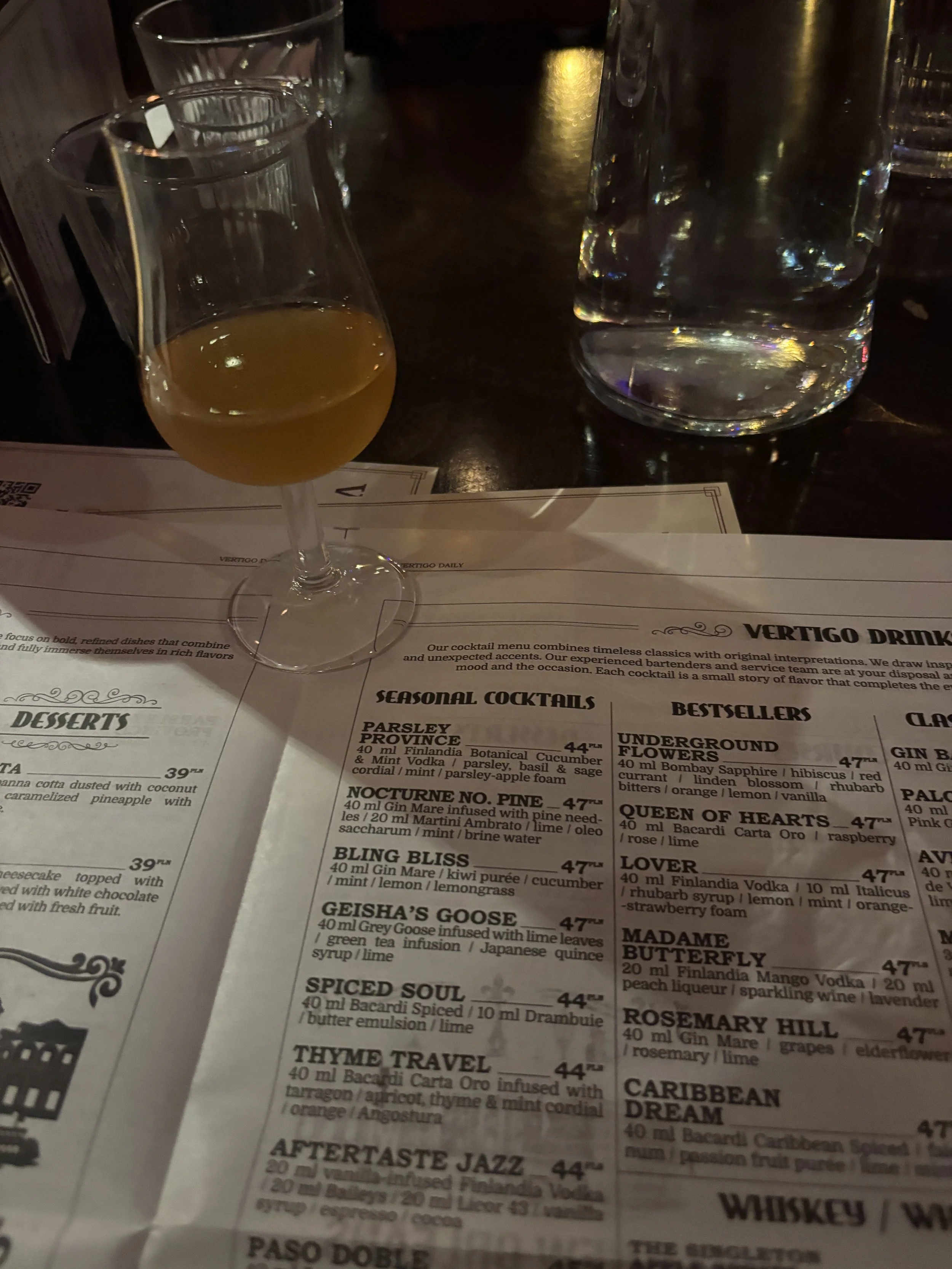
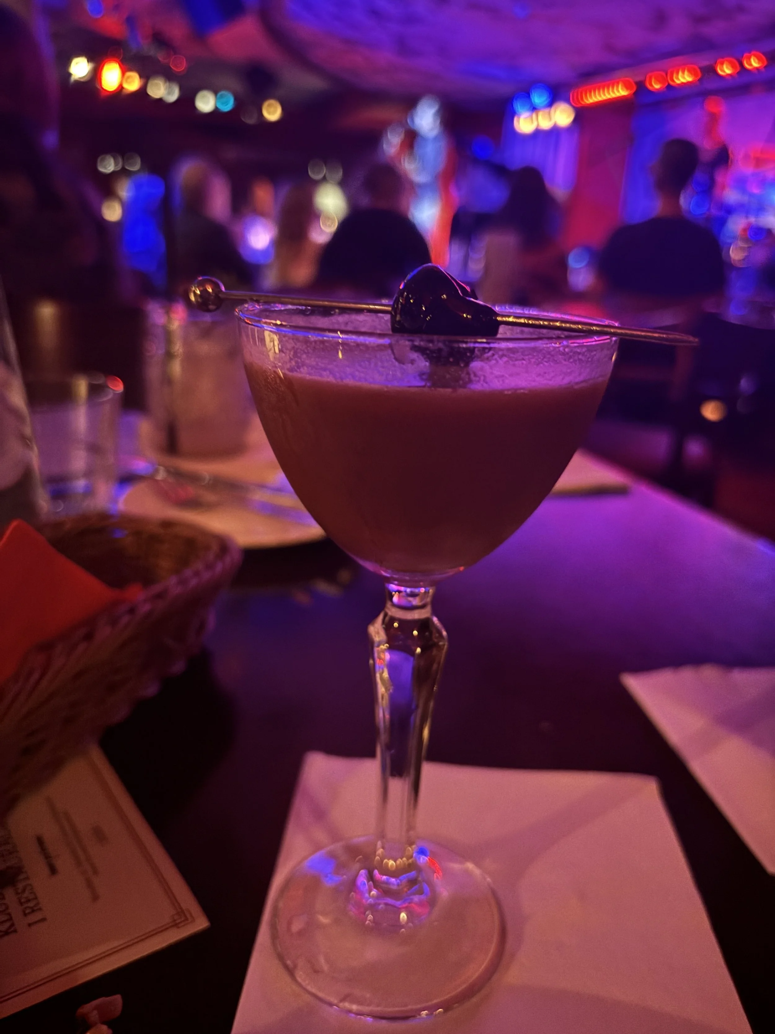
As can be expected from an place with such an artsy reputation, there are plenty of cool small details, such as, for example, the design of the menu, which looks like an old school newspaper. Or the the presentation of both the cocktails and the food.
A nice place for an evening out in Wroclaw!
3- Concordia Taste
wyspa Słodowa 7, 50-266 Wrocław, Poland
This is a very modern place (opened in 2022) located on one of the small islands on the Odra river (very close to Sand Island and Ostrow Tumski).
Its interior is decorated by a very large mural painting running across the whole restaurant. It is the work of Polish artist by Alicja Biała, who intended to celebrate closeness with nature and with other people you spend time with.
The restaurant is located within a building that serves as a creative arts space and business center and it has nice views of the river and Wroclaw University.
The menu is based on Polish cuisine and local ingredients, but with a somehow modern reinterpretation (as you can see, for example, with the pierogi depicted below).
It was super tasty, but light at the same time (despite its four courses), ideal for a business lunch!
Three great hotels to stay in Wroclaw
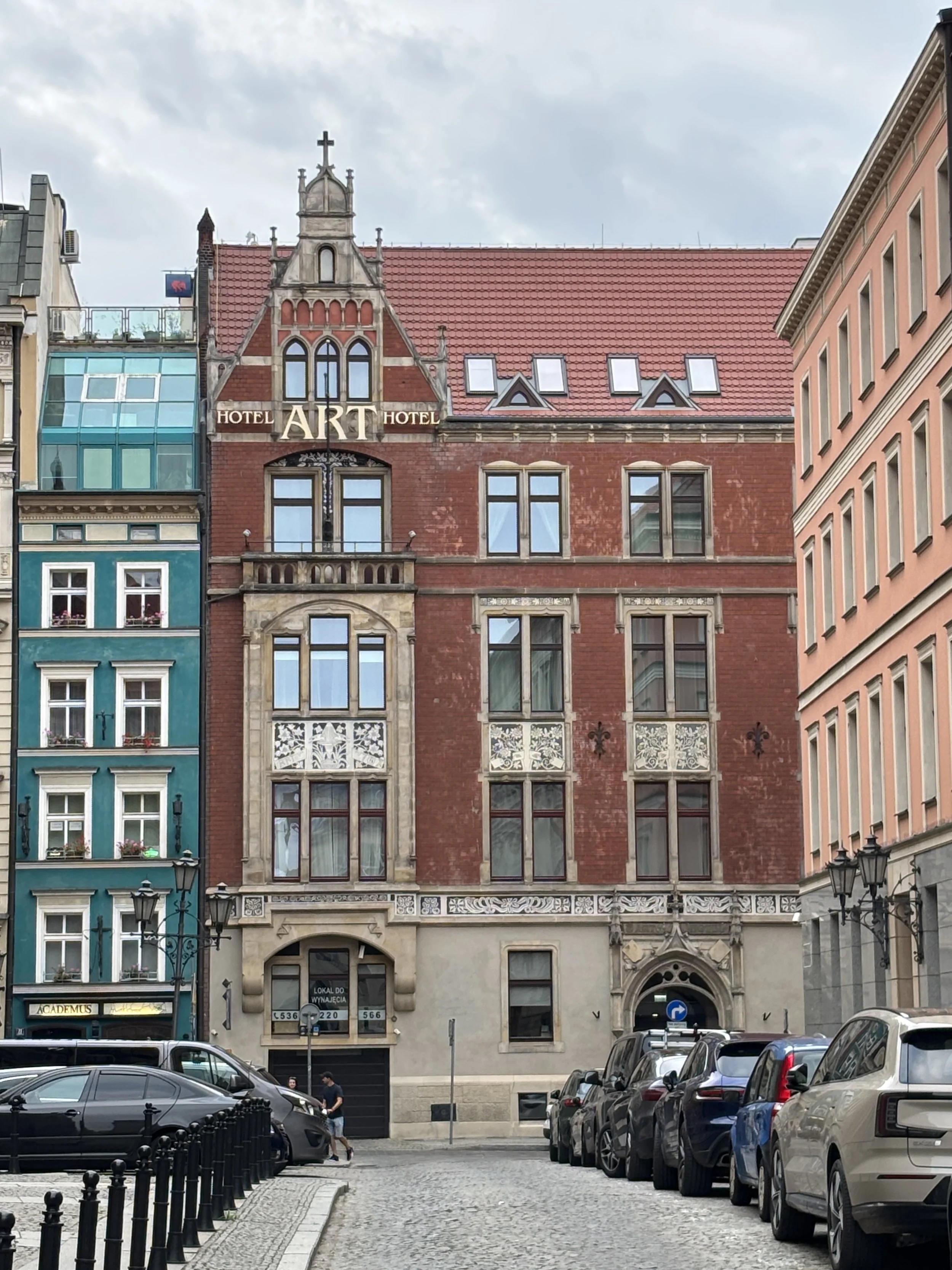
1 - Art Hotel Wroclaw
Kiełbaśnicza 20, 50-110 Wrocław
You can book this hotel here.
This hotel is a really excellent option is if you are looking for a place to stay right in the heart of the Wroclaw’s old town.
This is an independent hotel which occupies a historical building right by barely 2 minutes walk away from Rynek and literally around the corner from St.Elizabeth Basilica and Jatki Street, both sites that I have described earlier.
Part of the hotel is on a building that dates back to the 14th C. and in the 17th and 18th C. housed a printer’s shop.
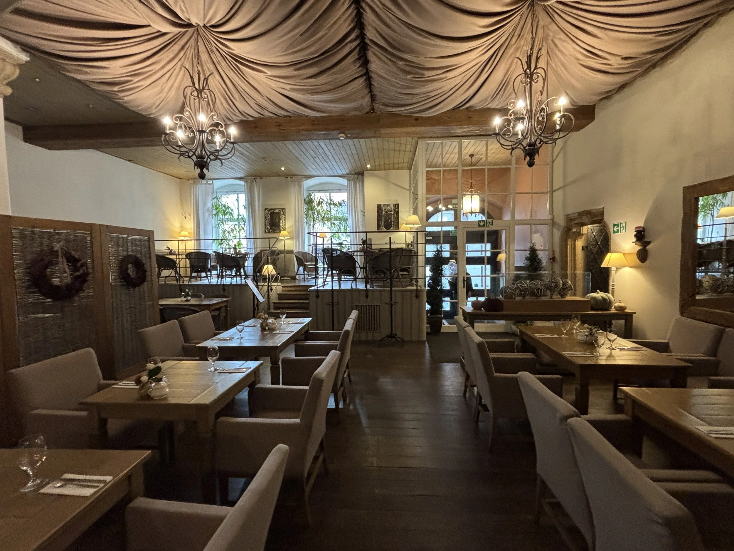
It became a hotel in the 1990s and has since kept a connection to the city’s art scene. This is why its interior, both the common spaces and the rooms, are all decorated with works of art.
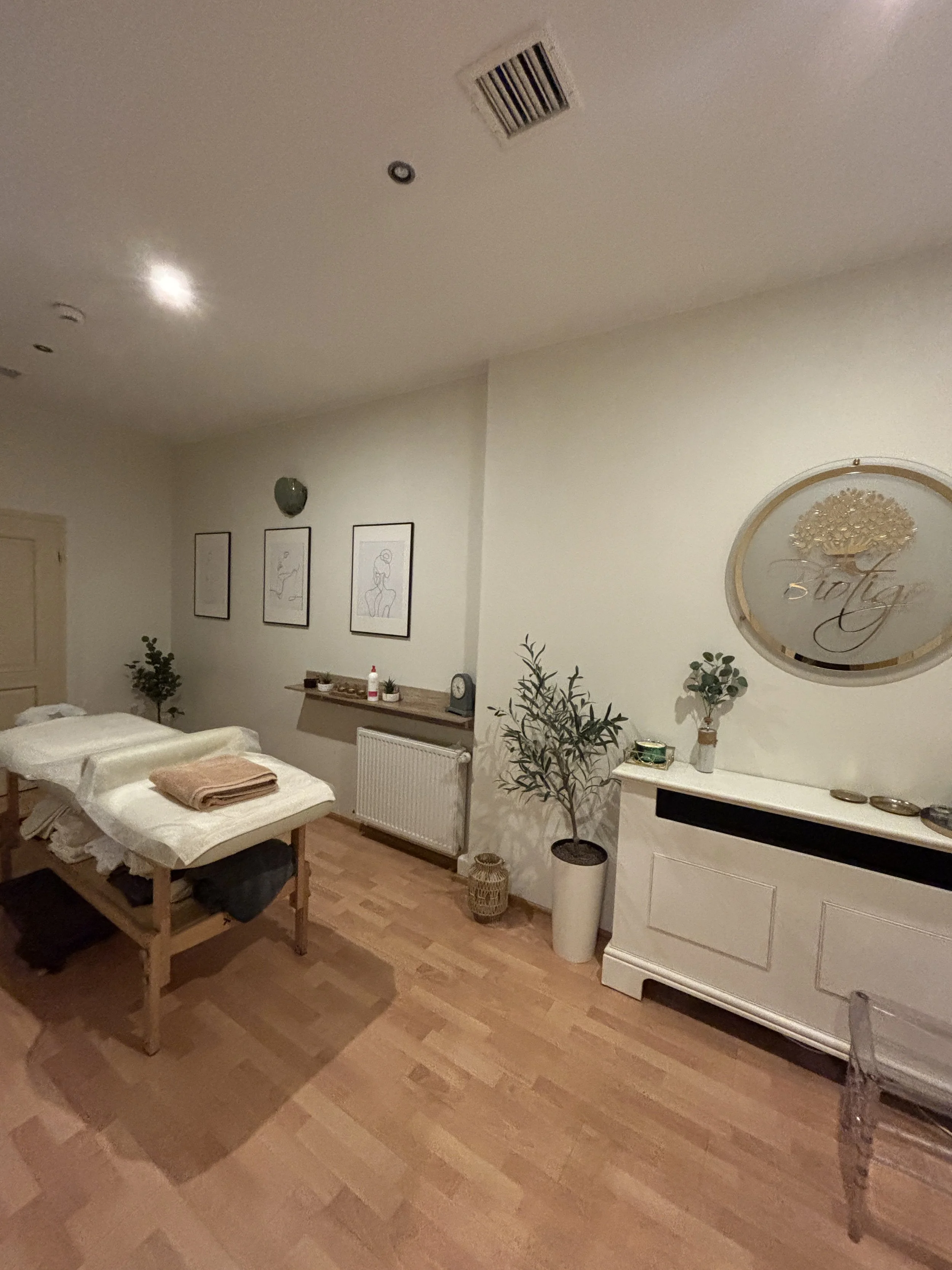
The hotel also has a restaurant and a small spa area.
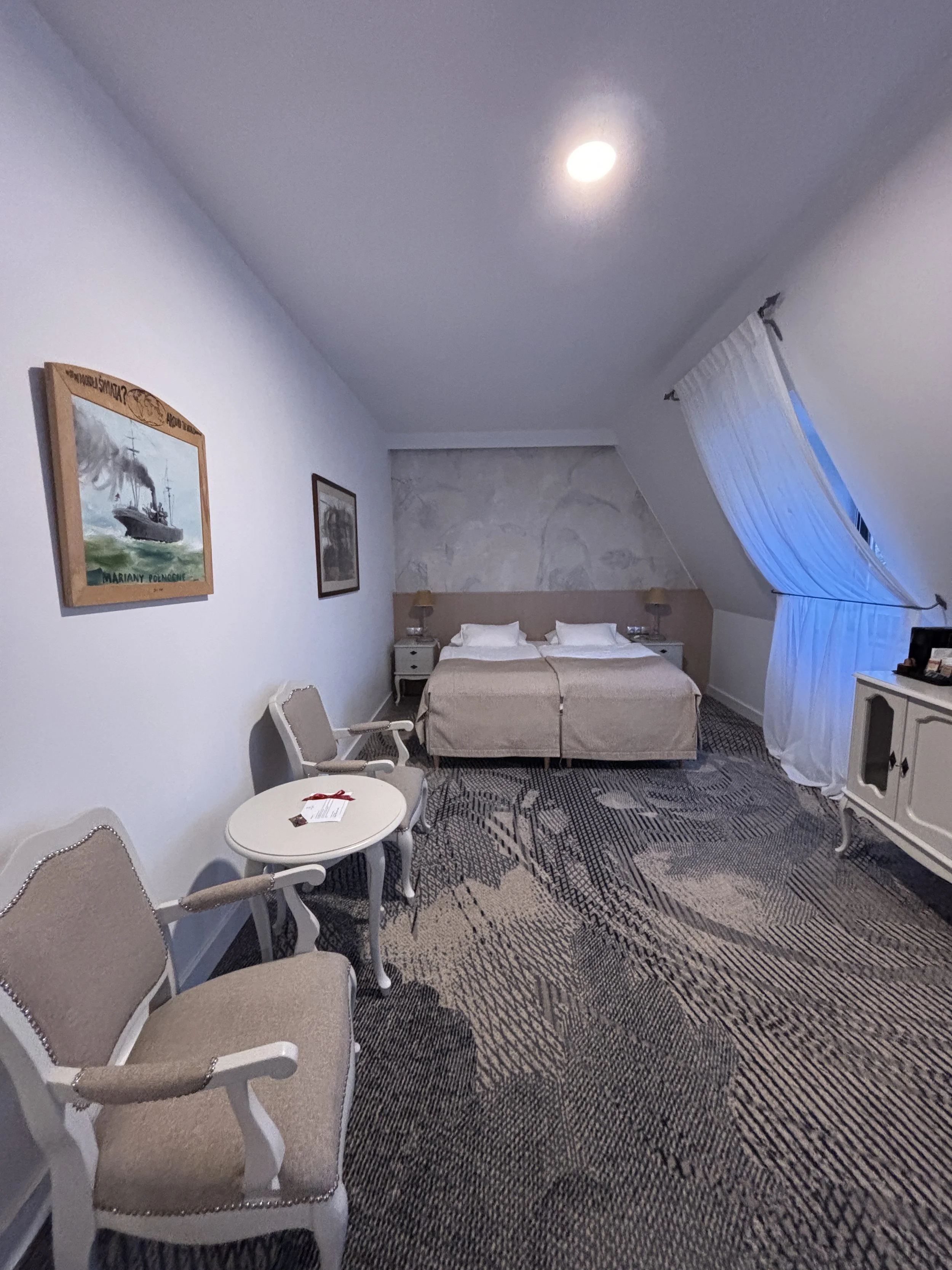
Interestingly, my room was a mansard-style apartment, which, I guess is part of what gives the place its unique character.
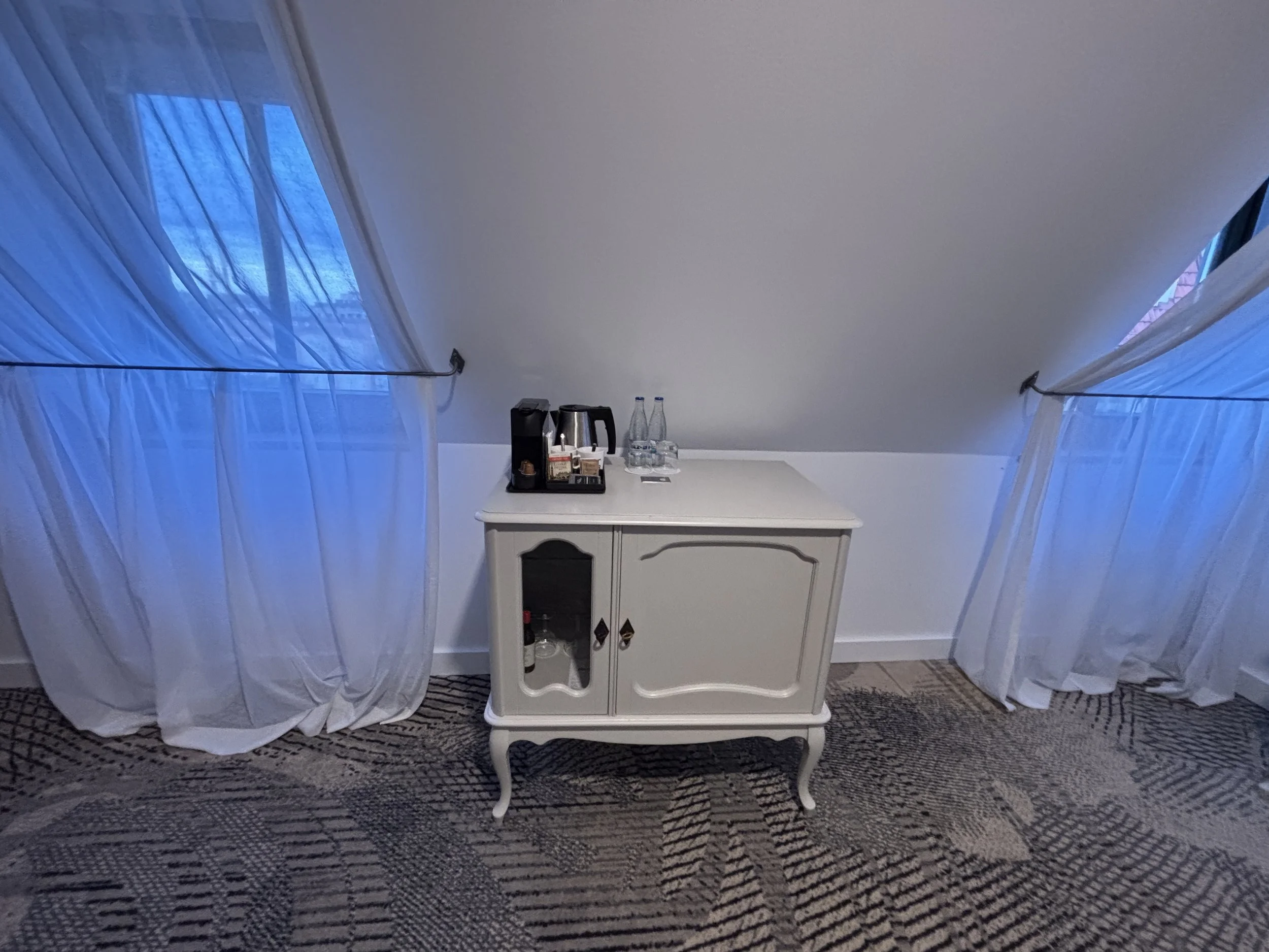
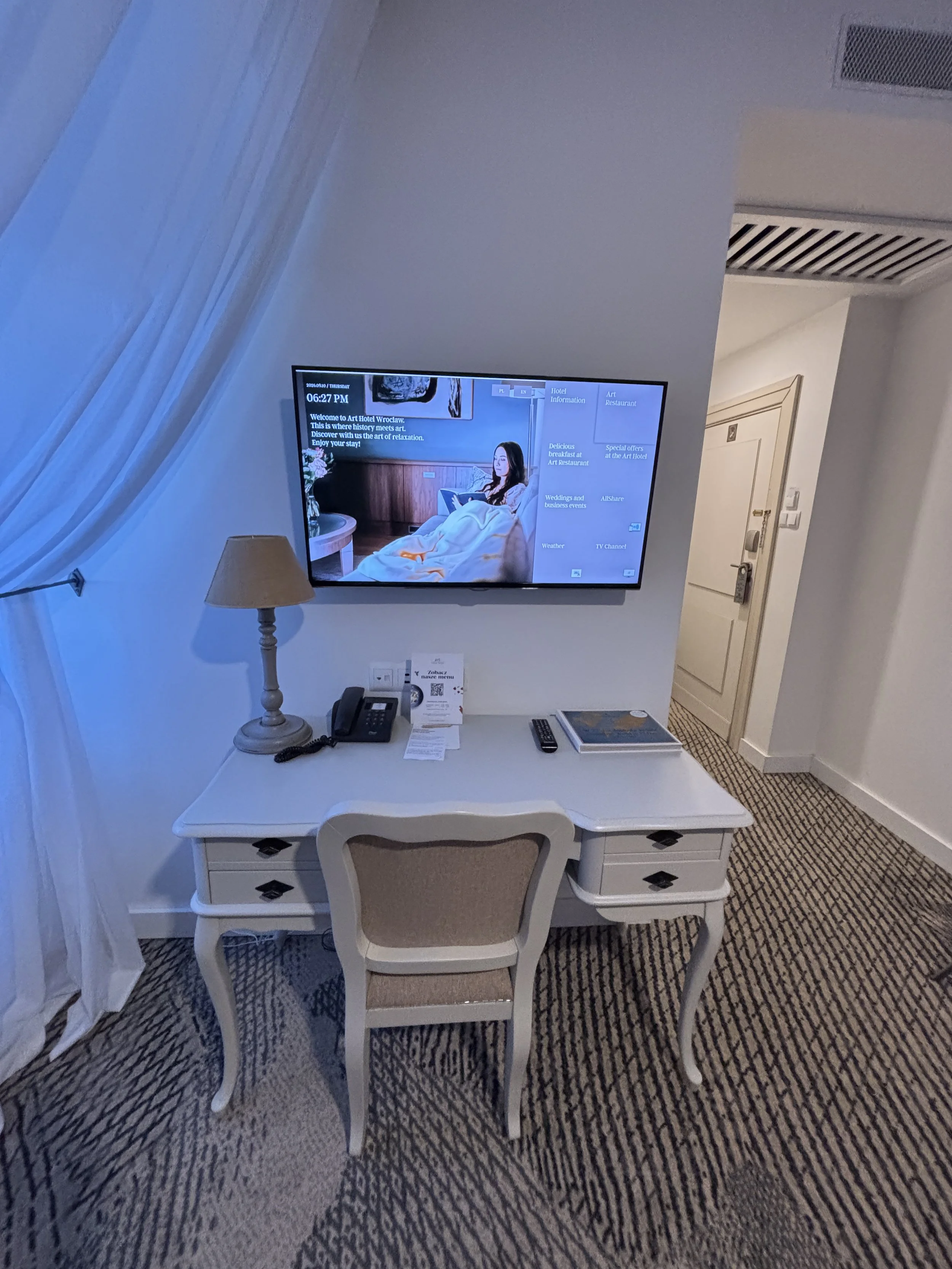
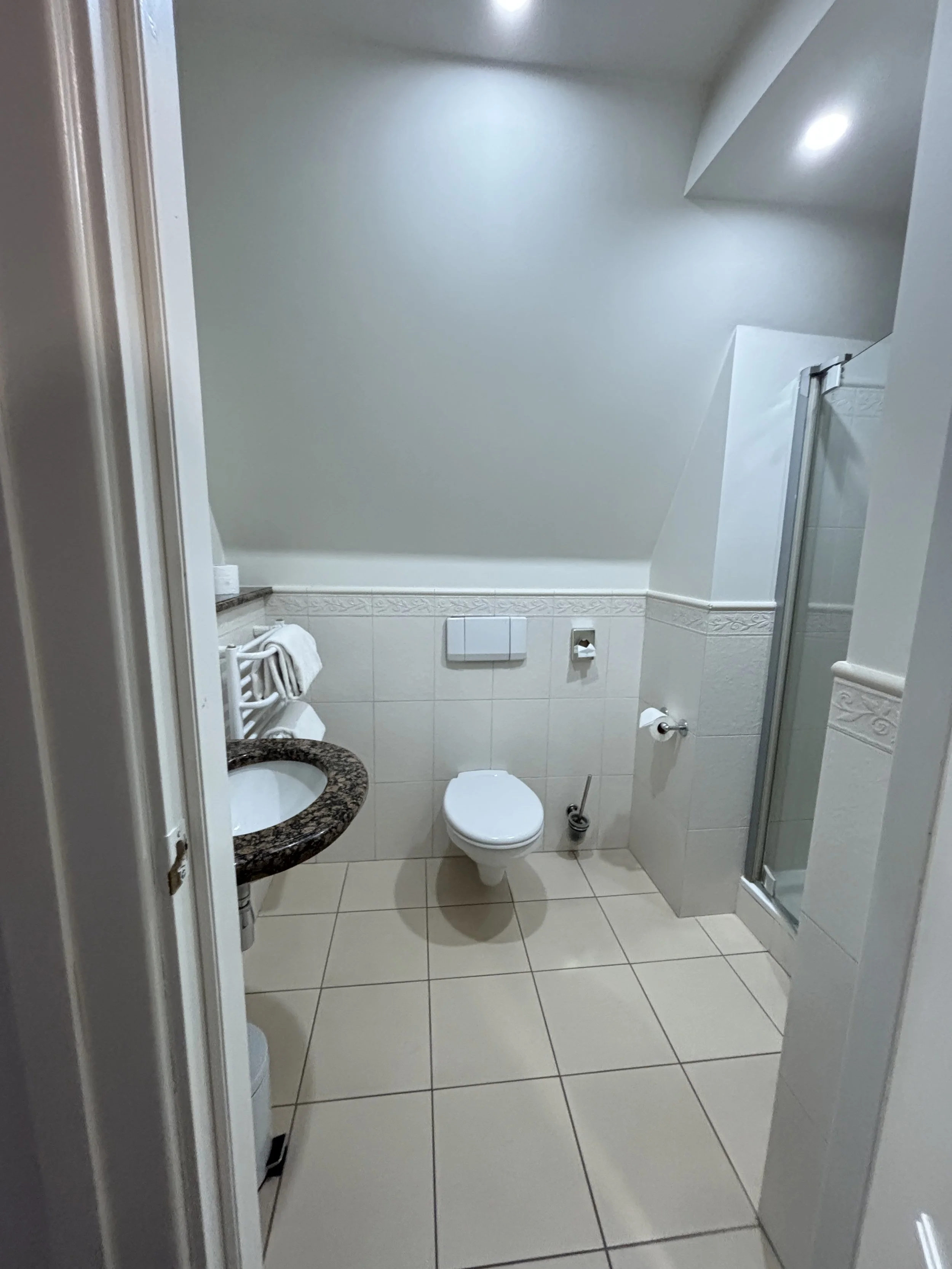
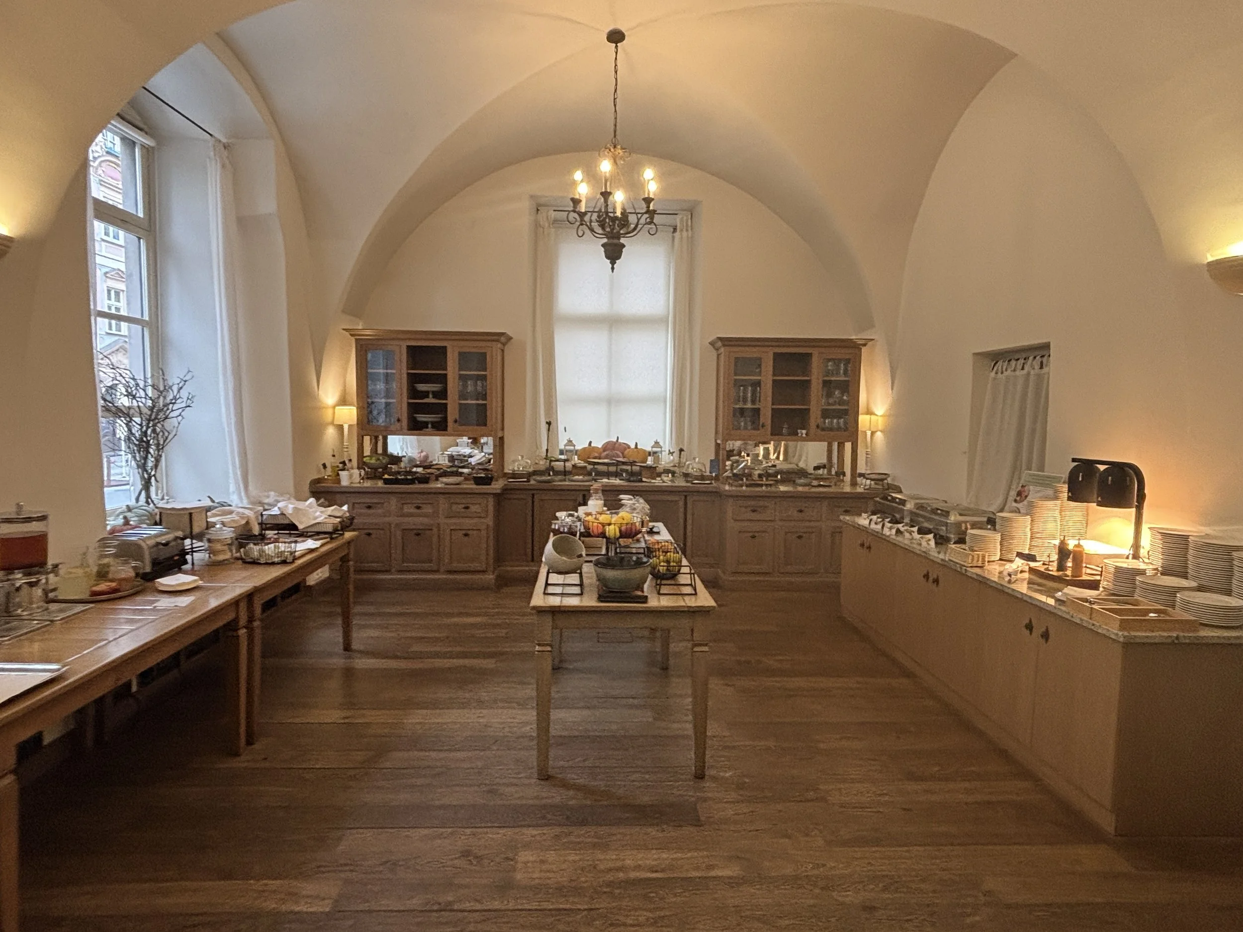
The breakfast was pretty good, btw, and served in this very charming room!
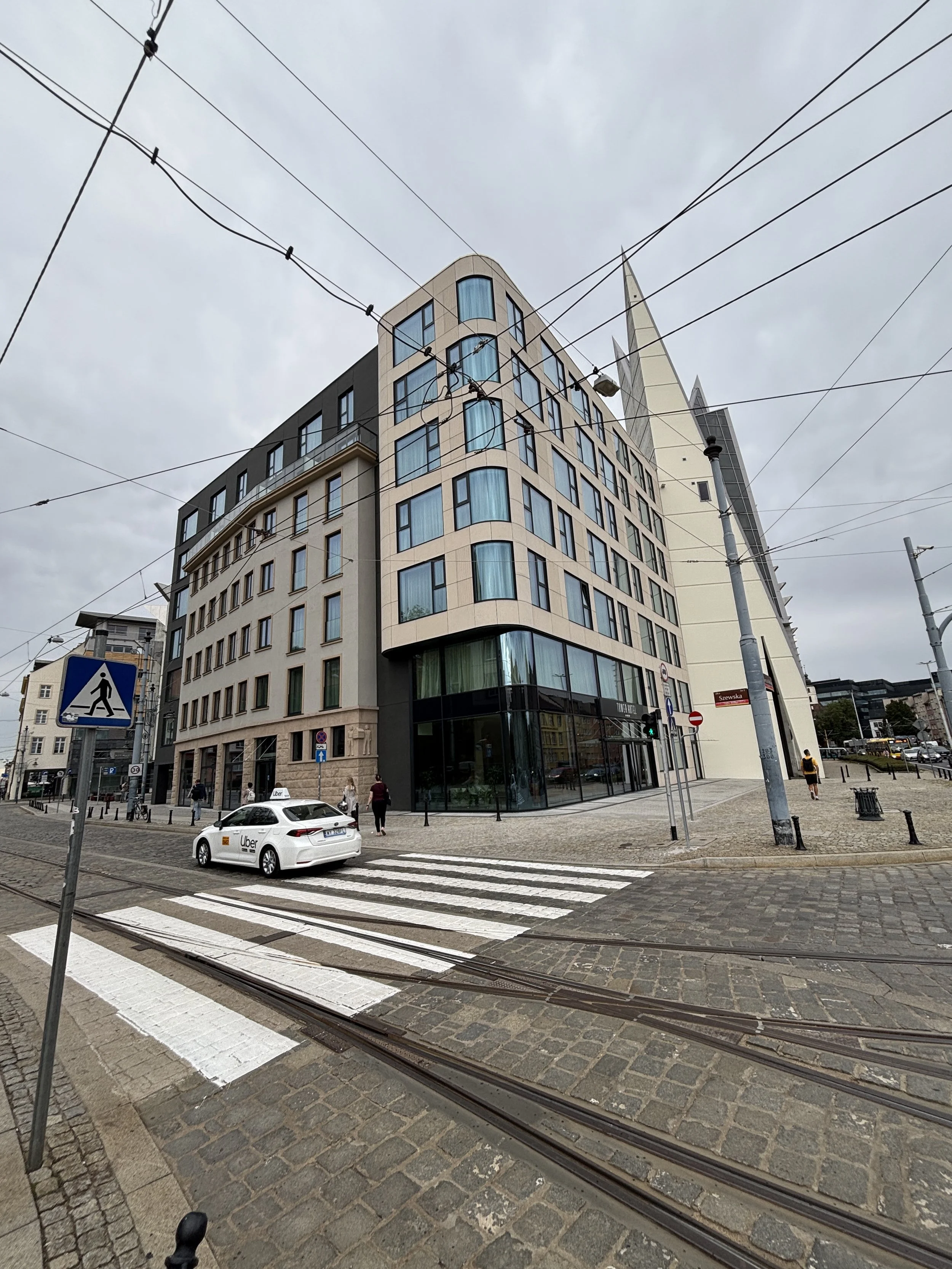
2 - Tower Hotel Wroclaw
Szewska 3, 50-438 Wrocław
You can book it here.
This is a super modern hotel (I read that it had opened barely a few weeks before my arrival).
It is located also very central on the main boulevard ring, right at the edge of the old town.
I was even wondering whether the name derives from the emplacement of one of the city walls’ towers, which is not a far fetched possibility considering the site. In this regard, the faux-historical decor plays its part and mixes well with the remaining totally contemporary motifs.
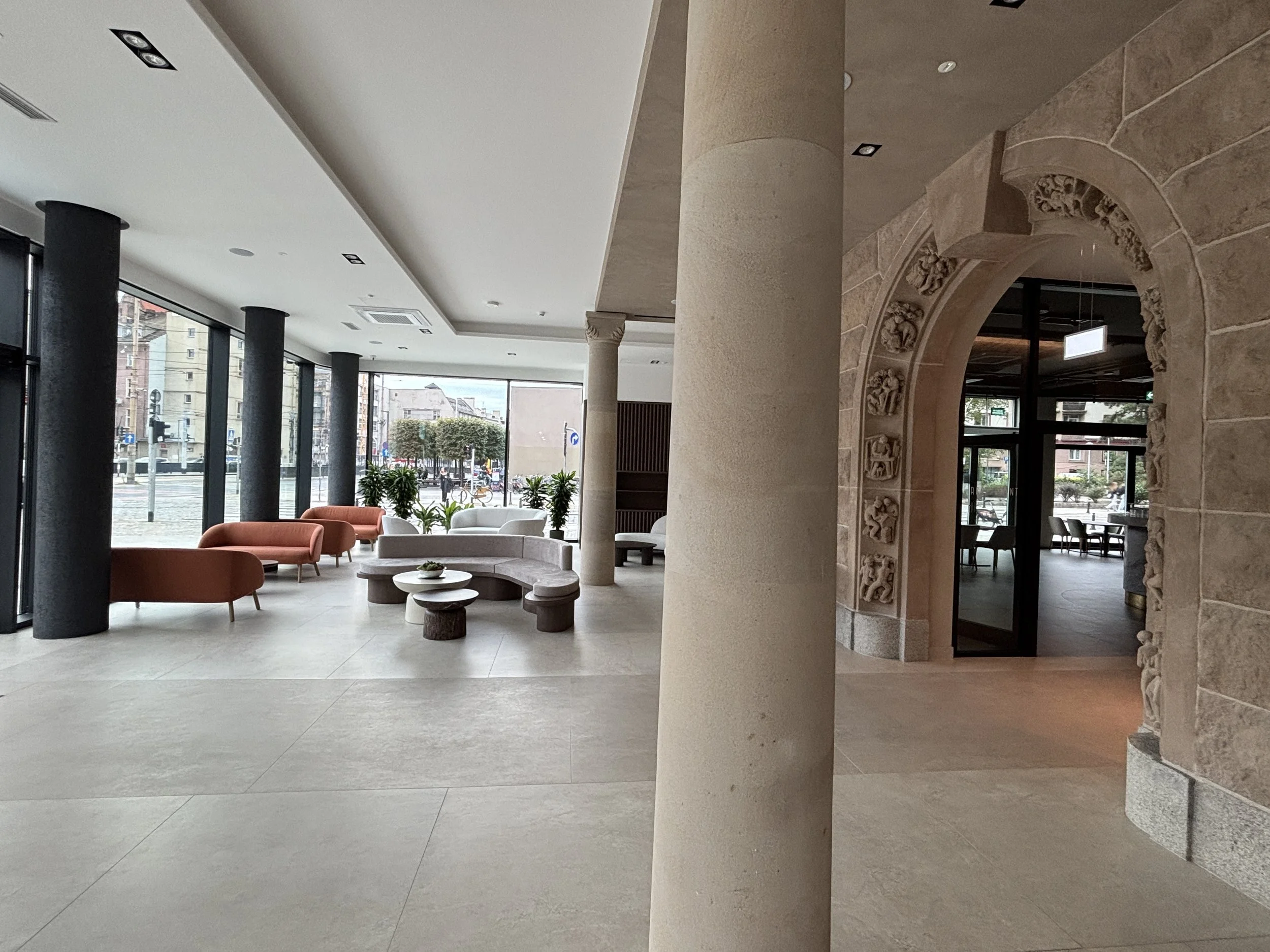
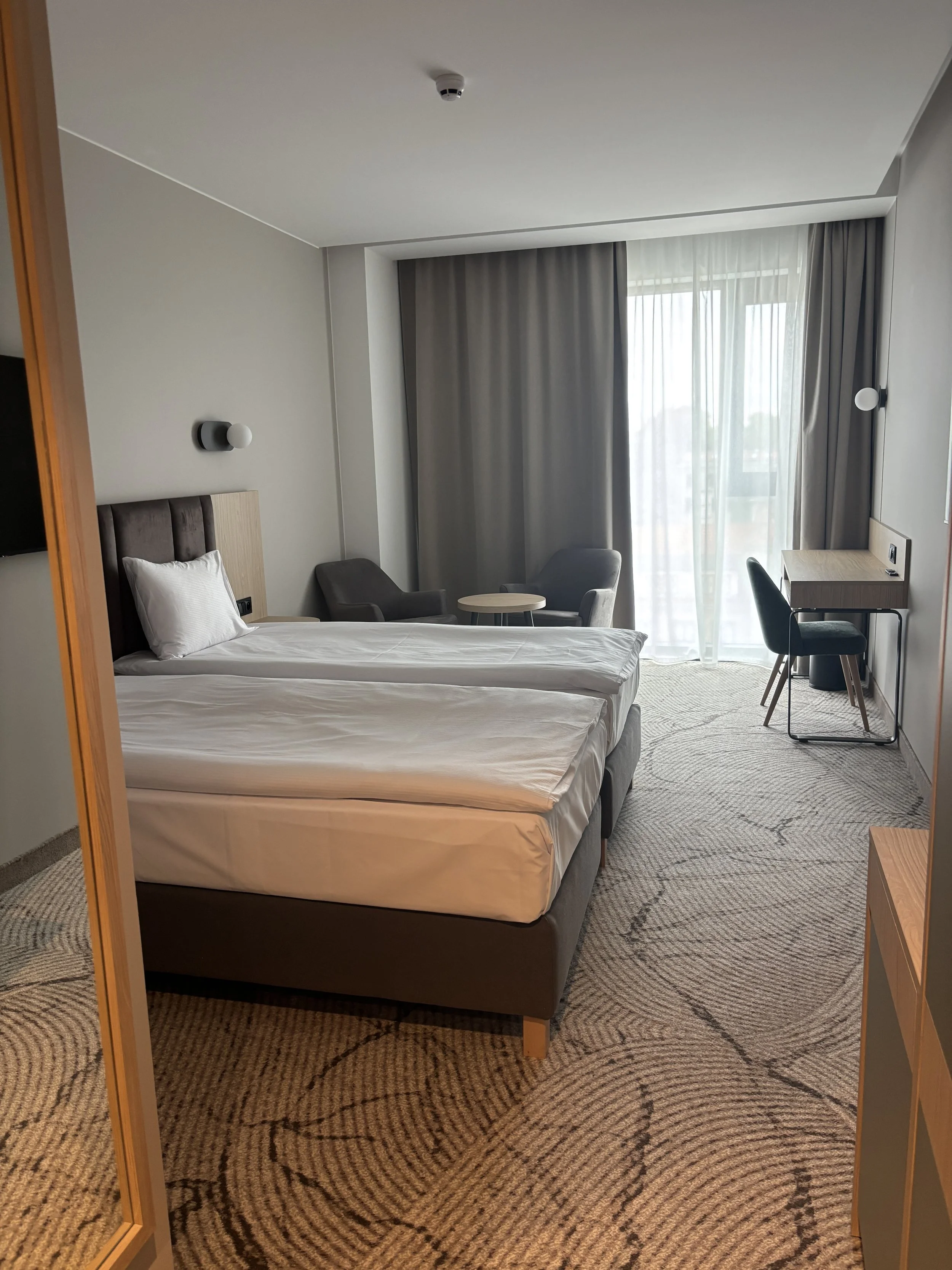
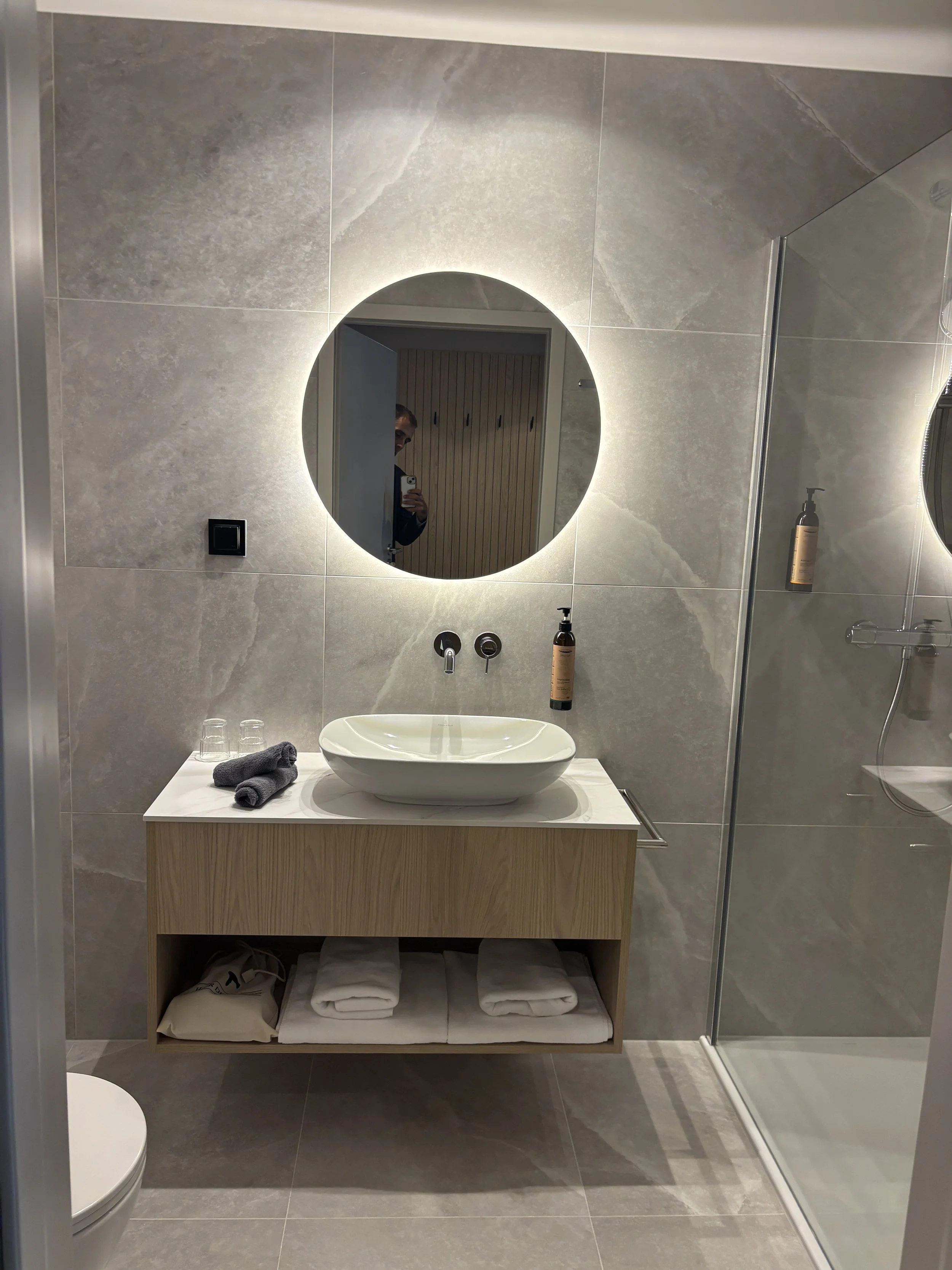
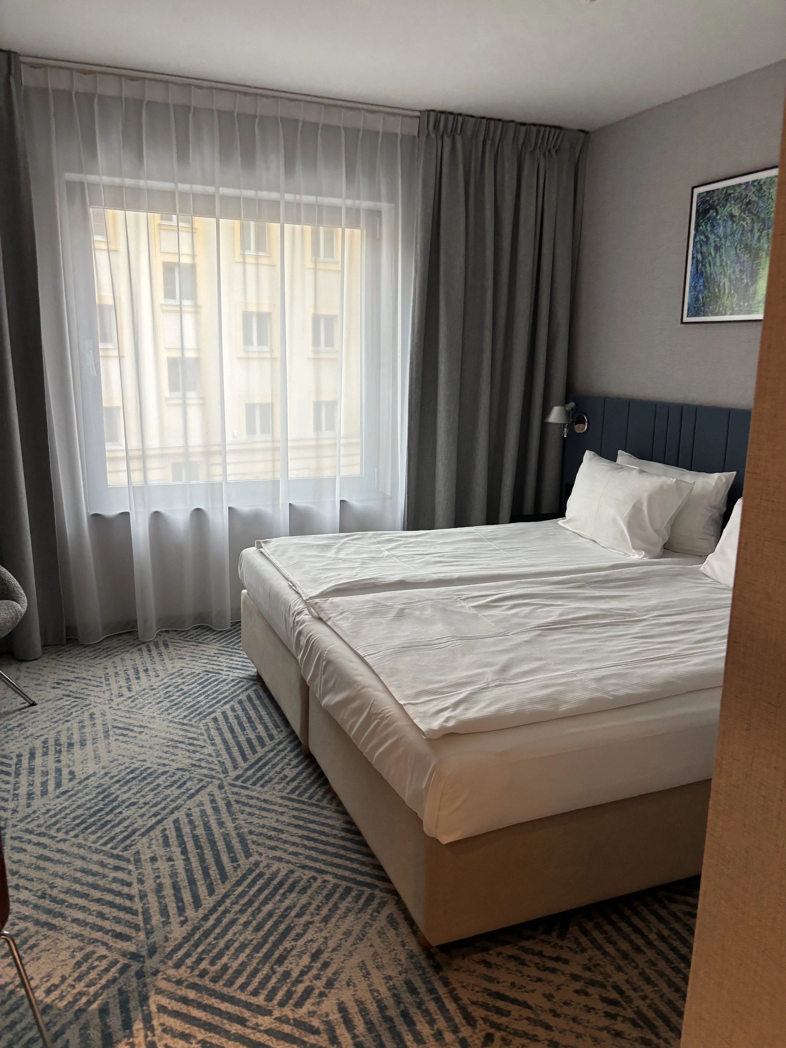
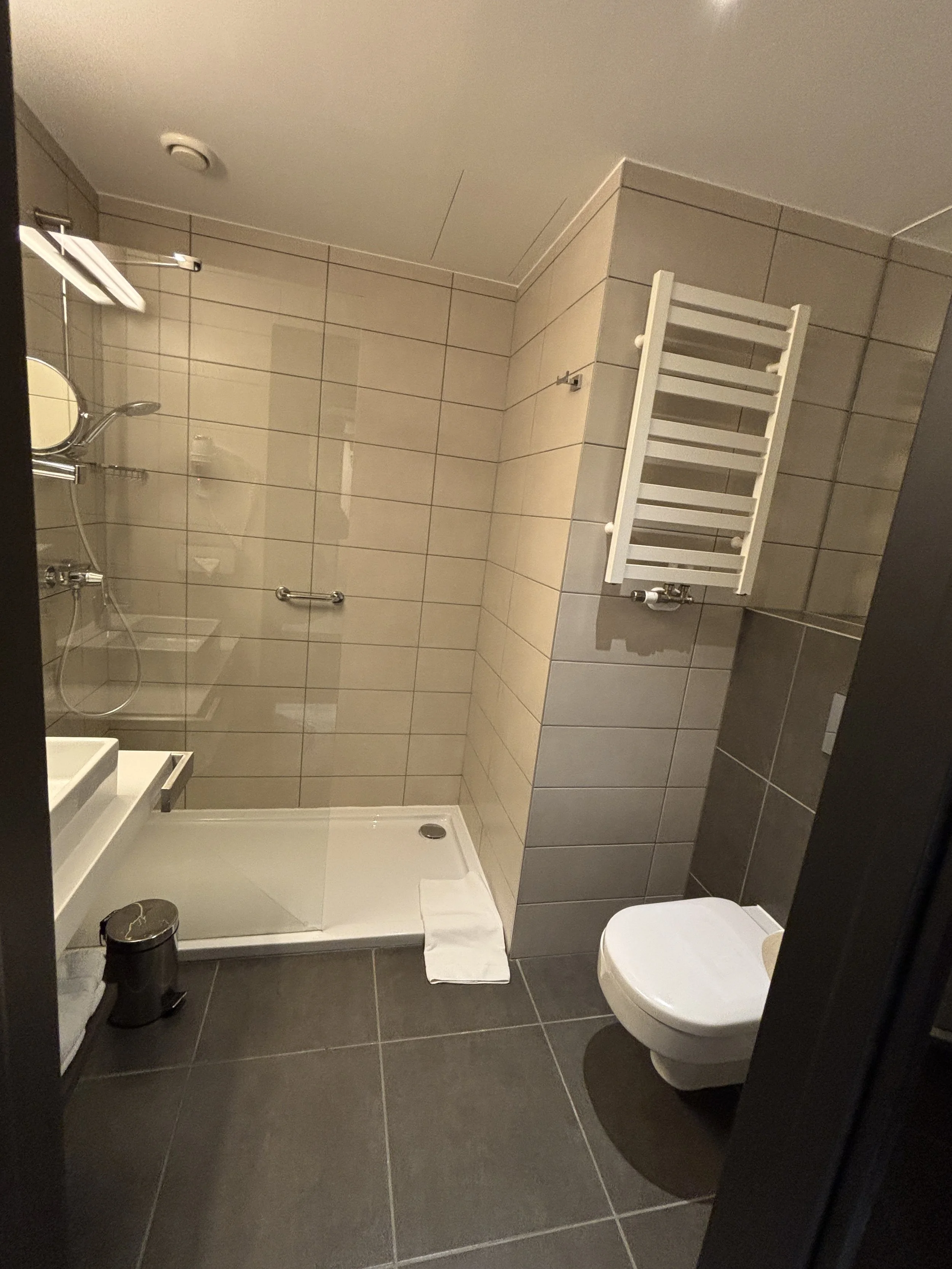
As you can see, and as expected, the style is that of a four-star modern hotel. In the pictures below you can see how the standard double room looks like (this one I was assigned had two small beds instead of a large one, not ideal, but I guess for just one night is ok.
3 - Q Hotel Plus Wroclaw
Zaolziańska 2, 53-334 Wrocław
You can book it here.
This is another super new hotel (there seems to be a hotel boom in Poland right now!).
It is located a bit further from the historical center, although still a comfortable 10 min walk away (or 5 minutes ride from the tram stop located just opposite). It is also very close to Wroclaw’s central station, so if, as it was my case, you have to catch an early train, it’s perfectly located. I liked the fact that there are water fountains on each floor and you get a refillable bottle in the room (in addition to coffee and tea).
As in the previous hotel, the decor and style is contemporary throughout.
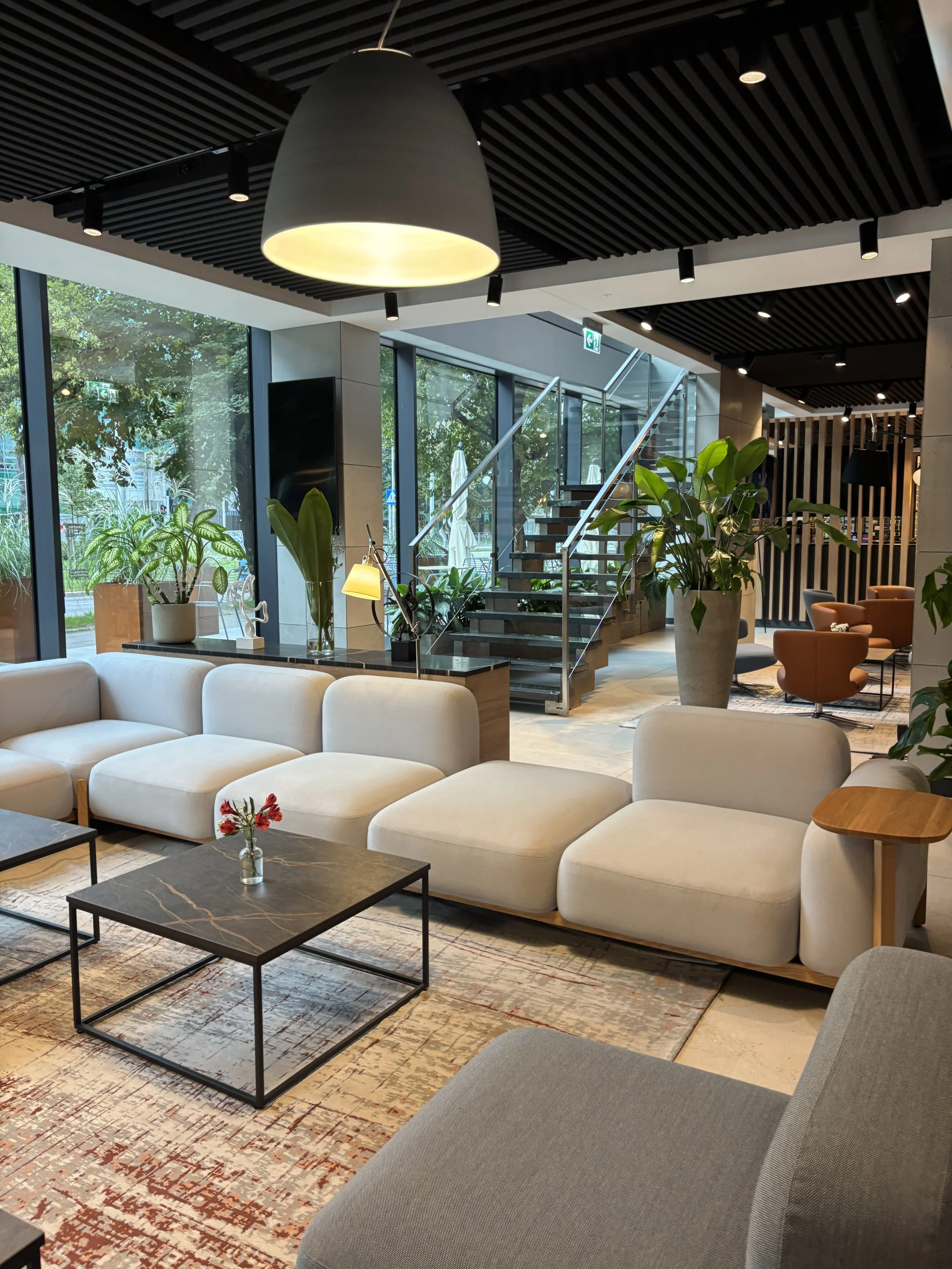
I didn’t really have enough time (just one night) to check all of the hotel’s services, but I really liked the lobby area, which is also adjacent to the hotel’s restaurant.
It had a really cozy atmosphere and received plenty of light from the street
If you are planning a trip to Poland, you may also find of interest our story about what to do and what to see when on a short trip to Gdansk.
What to do and what to see in Bergamo and Lake Iseo
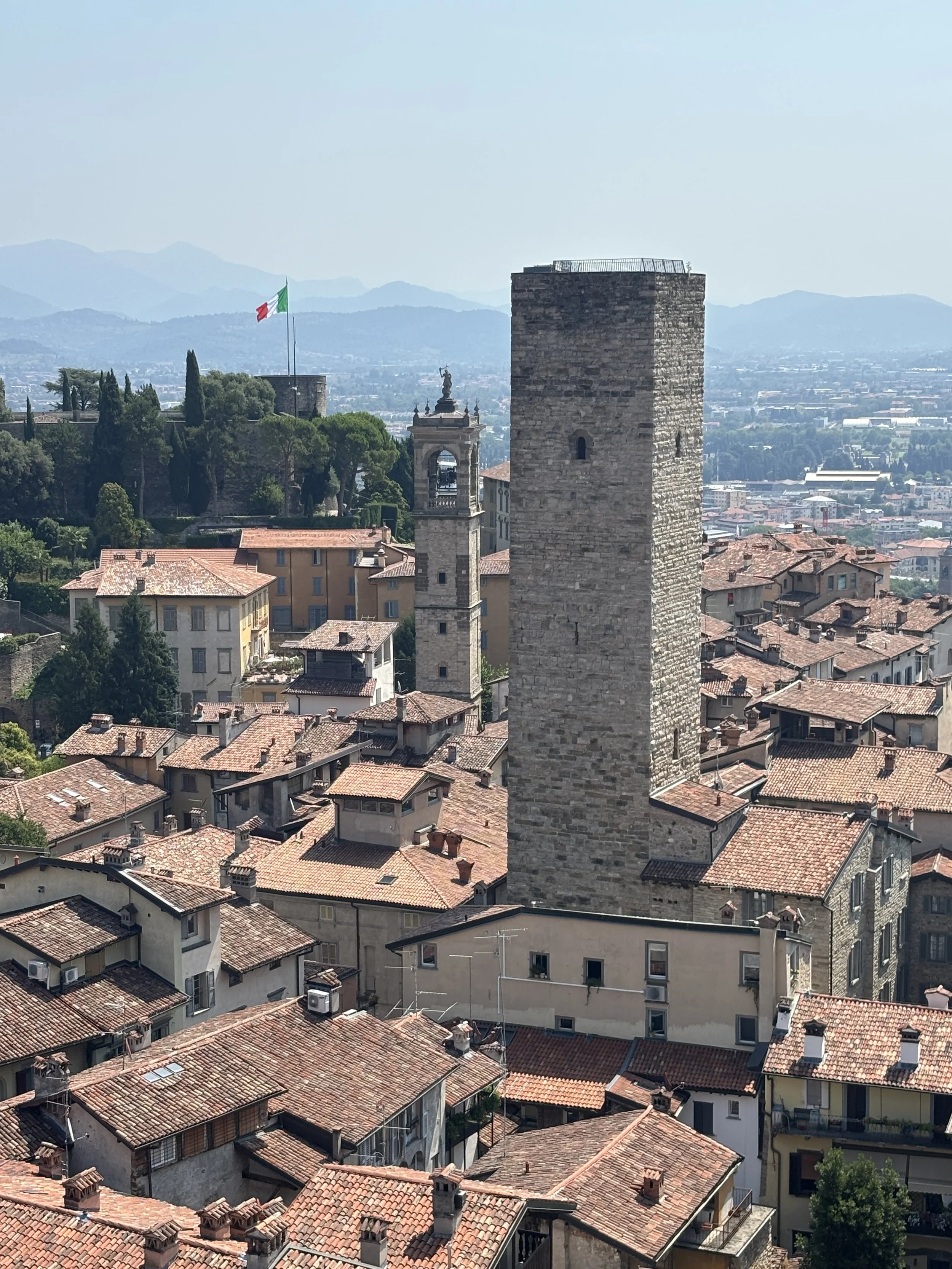
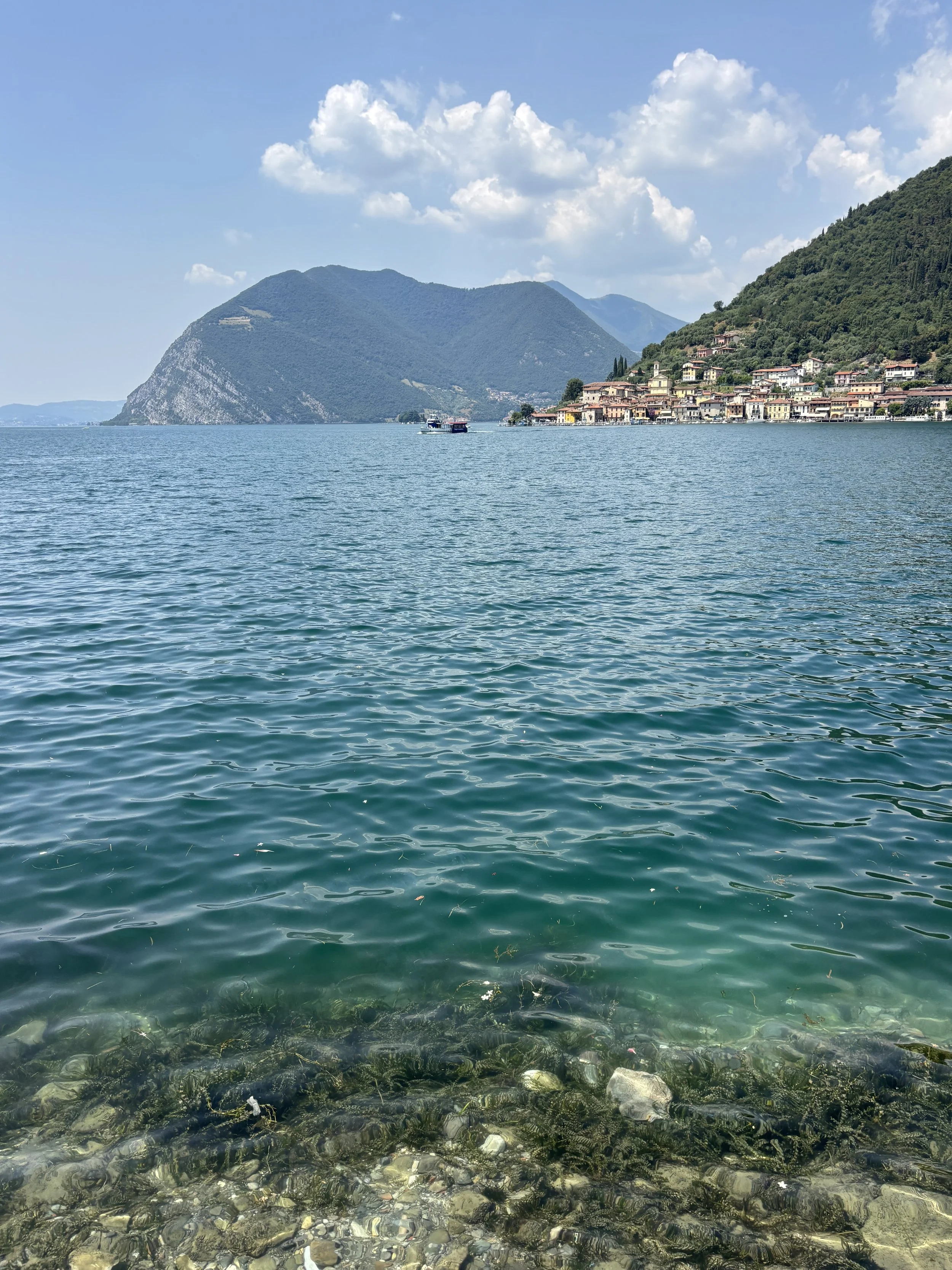
Bergamo, at the foot of the Italian Alps, is well known all over Europe because of its airport, Bergamo-Orio al Serio (BGY), which is one of Ryanair’s main bases and is used also by several other low cost airlines.
For many which have transited this airport, Bergamo may be just an alternative gateway to get to Milan, which is located roughly one hour drive to the southwest, yet, in this post I will try to explain how Bergamo is, in fact, a beautiful and fascinating destination one its very own!
What’s more, besides its many charms, Bergamo is also an ideal base to explore other great spots in throughout the nearby Alps, most notably among them Lake Iseo (“Lago d’Iseo” in Italian). Keep reading to learn more about what to do and what to see in Bergamo, Lake Iseo and the surrounding countryside.
Covered in this post:
Bergamo’s Città Alta and Città Bassa, a tale of two cities
What to see in Bergamo’s Città Bassa
Nice places to have coffee in Bergamo’s Città Bassa
What to see in Bergamo’s historical center, the Città Alta
La Rocca (fortress) and museum of the ‘800
A recommended itinerary through Bergamo’s Città Alta
Tasting Bergamo’s Casoncelli
A great, small art museum in Bergamo: Accademia Carrara
Where to stay in Bergamo
A great day excursion near Bergamo: Lake Iseo
What to see around Lake Iseo
Visiting Monteisola on Lake Iseo
Wandering around Peschiera Maraglio
Other spots to bathe in Lake Iseo
More interesting places around Lake Iseo: Lovere
Bonus tip: visiting Clusone, in the Val Seriana
Getting from the airport to the city
We have already mentioned Bergamo-Orio al Serio airport and this is, I guess, the way most visitors arrive in Bergamo. The airport is, in fact, quite close to the city center, so close that you can actually make out the countours of Bergamo’s old town from the boarding gates.
What’s the easiest way to get to downtown Bergamo from Orio al Serio airport, then?
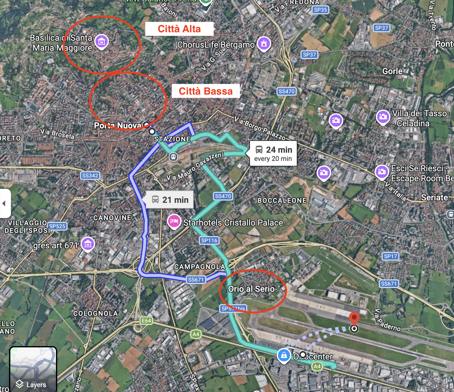
The cheapest, and possibly fastest, way to get to the city center is to take the Bus number 1, which takes you from Orio al Serio Airport to the foot of Bergamo’s Città Bassa.
The bus passes roughly every 15-20 minutes and tickets cost €3 each way. They can be acquired at ticket machines which are found at the bus stop just outside the terminal.
A word of caution, though: this is a regular urban bus and sometimes it can get really, really crowded, making the trip, even if short at around 20-25 minutes, far from comfortable, particularly if you are traveling heavy and carrying bags.
By the way, Bus Number 1 also stops at the city’s main train station, where it is possible to connect with trains that go to other points in the Lombardy region and beyond.
This post may contain affiliate links. If you book or buy something through them, I earn a small commission, at no extra cost to you. It's one of the ways I keep Places of Charm going. Thank you for your support.
Bergamo’s Città Alta and Città Bassa, a tale of two cities
As mentioned in the previous section, Bergamo is divided in two major parts: the lower city (Città Bassa) and the upper city (Città Alta).
The upper part is the historical hilltop walled town, with its foundations dating back at least to Roman times. This is where most of the monuments and sightseeing spots are.
The lower town is essentially the modern part of the city, on the plains.
This part of the city has already been partly urbanized in some way or another since the middle ages, when a large trade fair started to be held at an ad-hoc spot near today’s Porta Nuova area. This is where most hotels and other services are located. It has also some nice walkable streets.
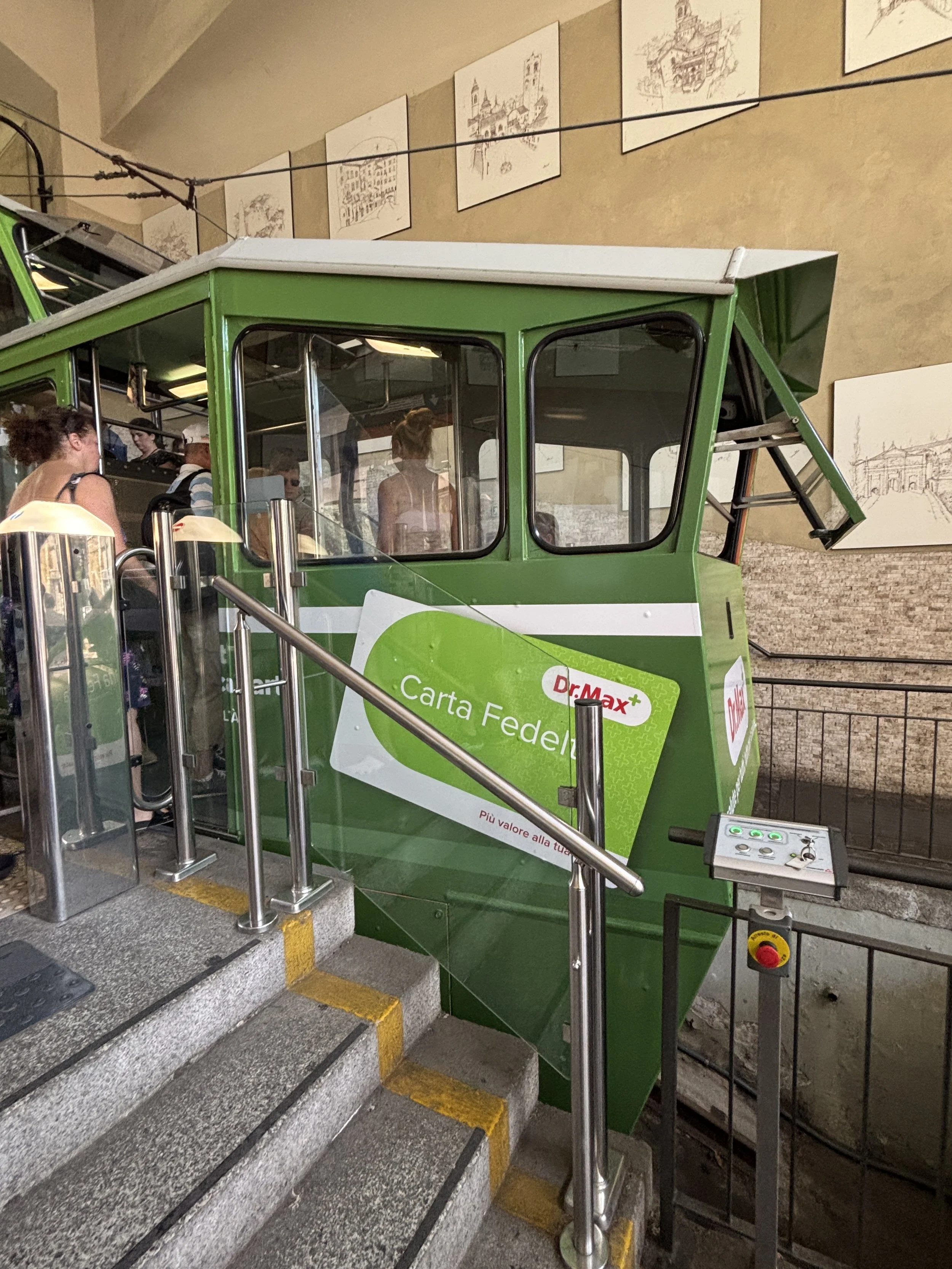
The two parts of the city are connected by a funicular, which is a tourist attraction on its very own. One way trip costs €1.7 (I think it is also included in some travel cards).
Nevertheless, you can also get to and from the Città Alta on foot through the old Venetian bastion gate of Porta di San Agostino, just that it will take you a bit longer from the Porta Nuova area (maybe a 15-20 min extra walk), and it will be a bit uphill.
I would leave this itinerary for the return journey from the Città Alta, not least because this way you can also pass by another of Bergamo’s top attractions, the Accademia Carrara art museum, which I also cover in this post.
Walking through Bergamo’s Città Bassa
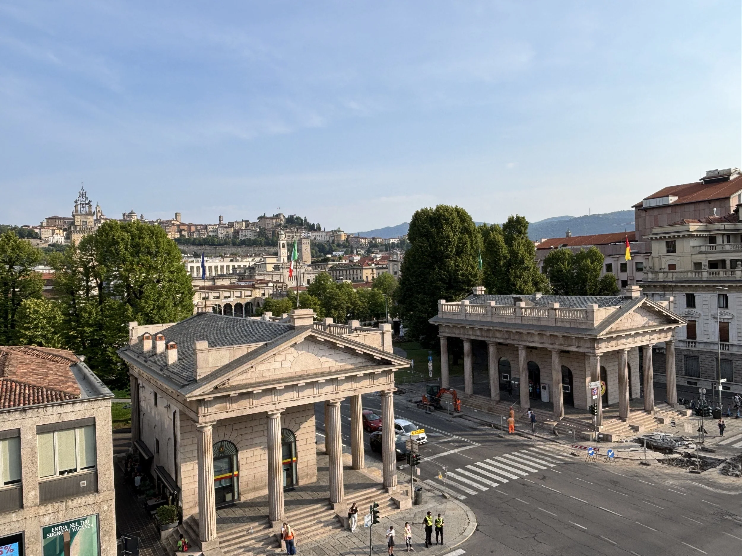
A view of Bergamo’s Porta Nuova
But before we get to the Città Alta, a few words about the Città Bassa, because it has also some interesting elements.
If you start your itinerary at the Porta Nuova, which marks the limit of what used to be the second ring of walls of the city (Bergamo has three rings of walls, the latest of which, built by the Venetians in the 16th C. has UNESCO World Heritage Site status) and if you head from there to the funicular you will pass through Bergamo’s modern downtown.
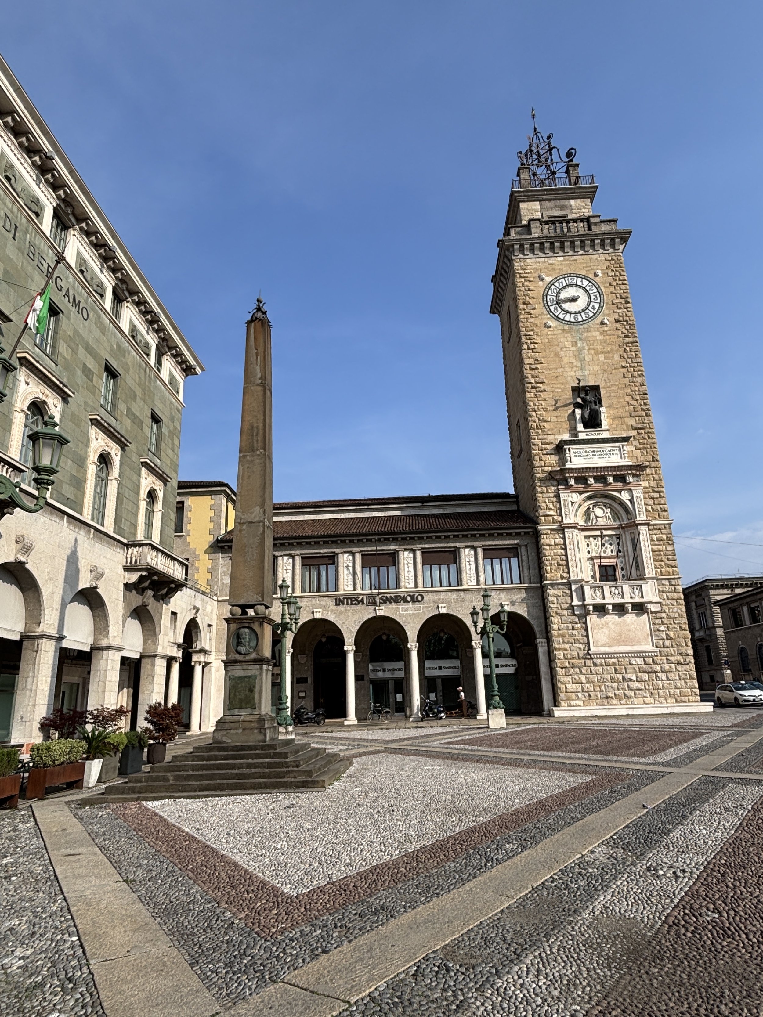
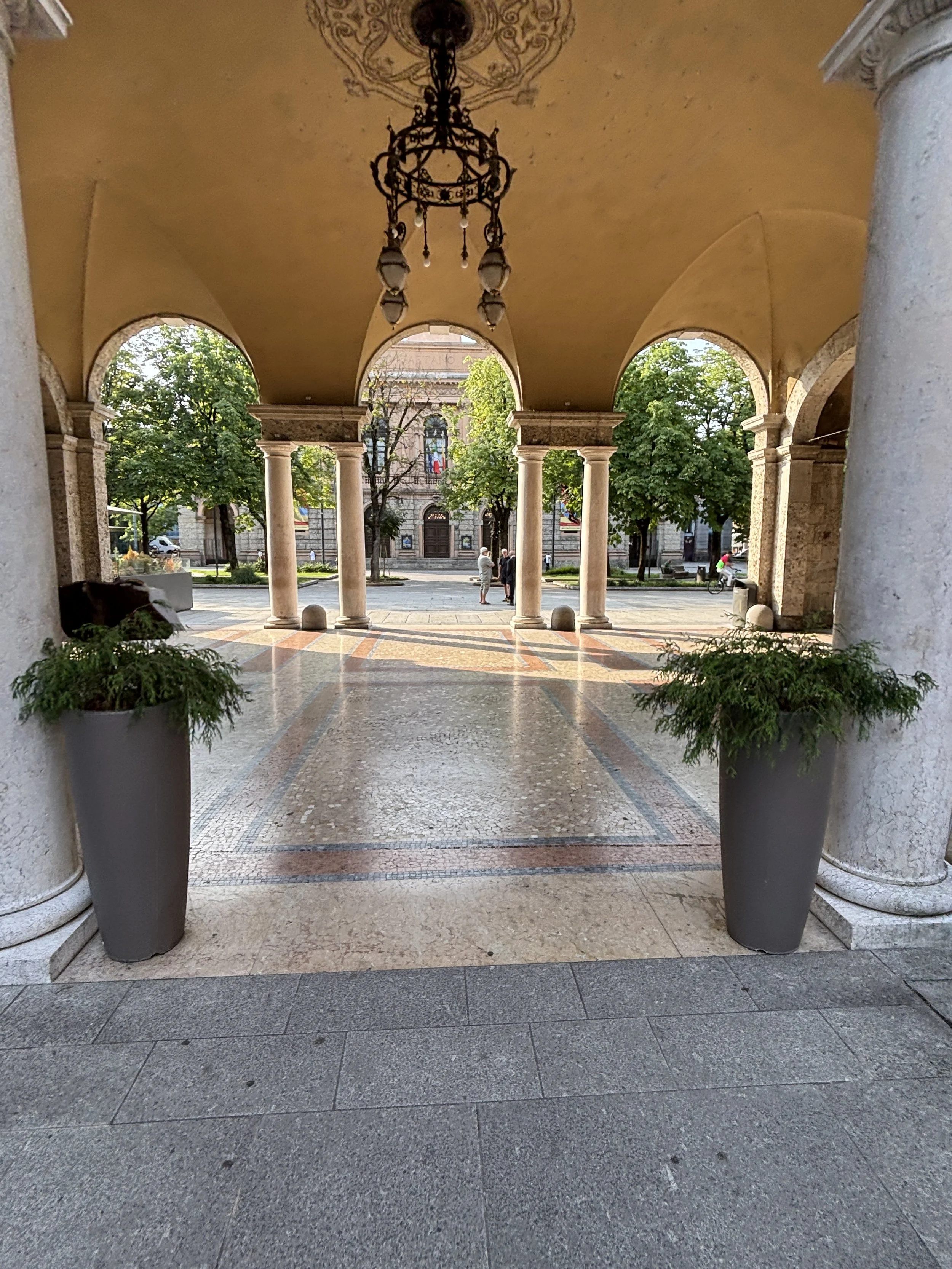
If you have been to other Italian cities before, you will recognize many of the elements that make this part of town, such as the porticoed buildings dating back to the time of Risorgimento and the unification of Italy, in the 19th C. as well, as some reconizable examples of architecture from the Fascist period, housing the post office and other administrative functions.
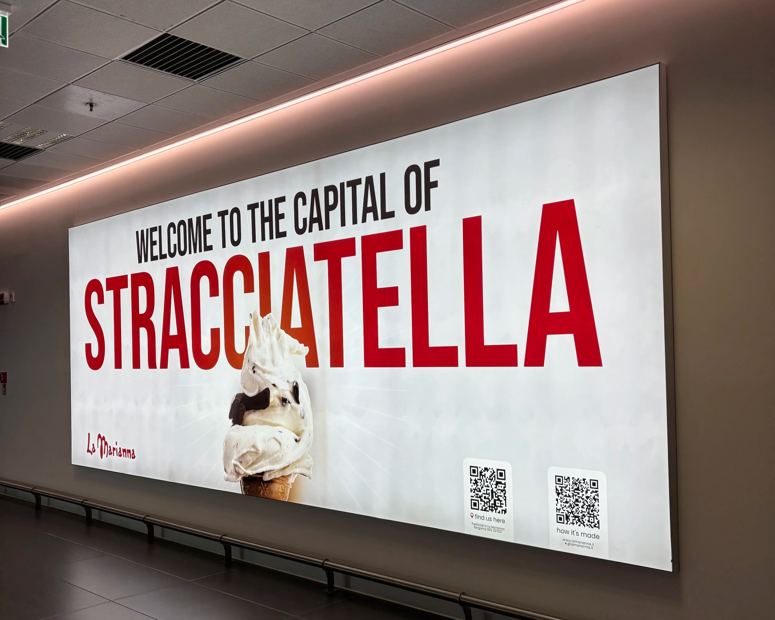
By the way, here is a curiosity I was not aware of before this trip: Bergamo takes pride in being the world capital of Straciatella, the famous cream and chocolate ice-cream flavour. So now you know!
Nice places to have coffee in Bergamo’s Città Bassa
Bergamo’s Città Bassa has some great spots to rest and relax in front of a cup of coffee and some tasty local pastries away from the tourist crowds that roam the Città Alta. Here are my recommendations:
1- Elidor Patisserie
Via Torquato Tasso, 49, 24121 Bergamo
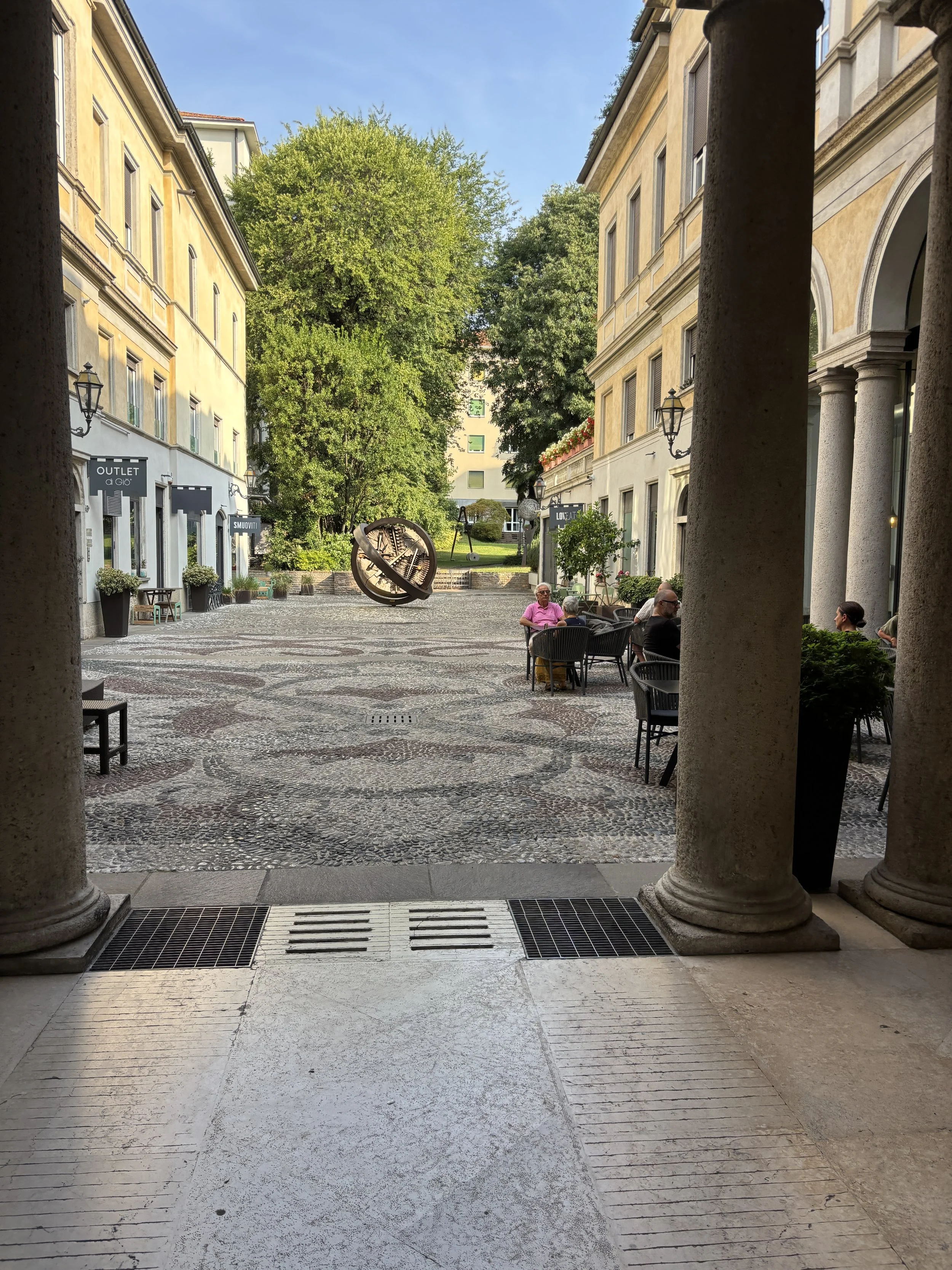
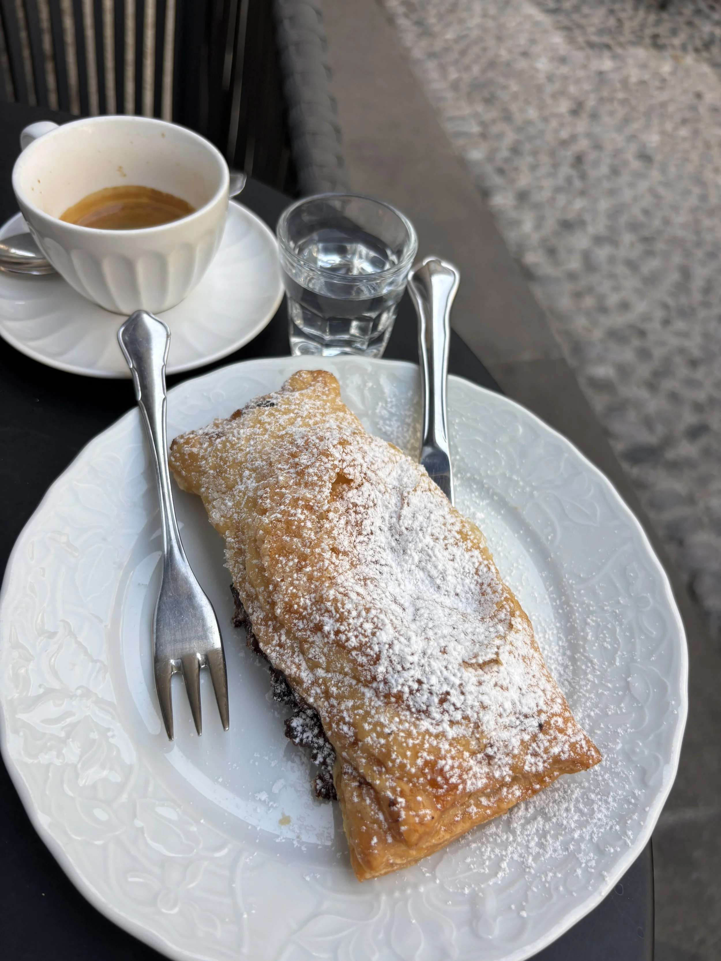
This is a really nice and elegant coffee and, as the name implies, pastry place in the heart of Bergamo’s Città Bassa. It is located in an quiet interior courtyard, which gives it a touch of sophistication. If your accommodation in the Città Bassa, this a nice spot to start your day gathering energies before heading uphill to the historical center.
2- La Caffetteria Di Porta Nuova
Via G. Tiraboschi, 55, 24127 Bergamo
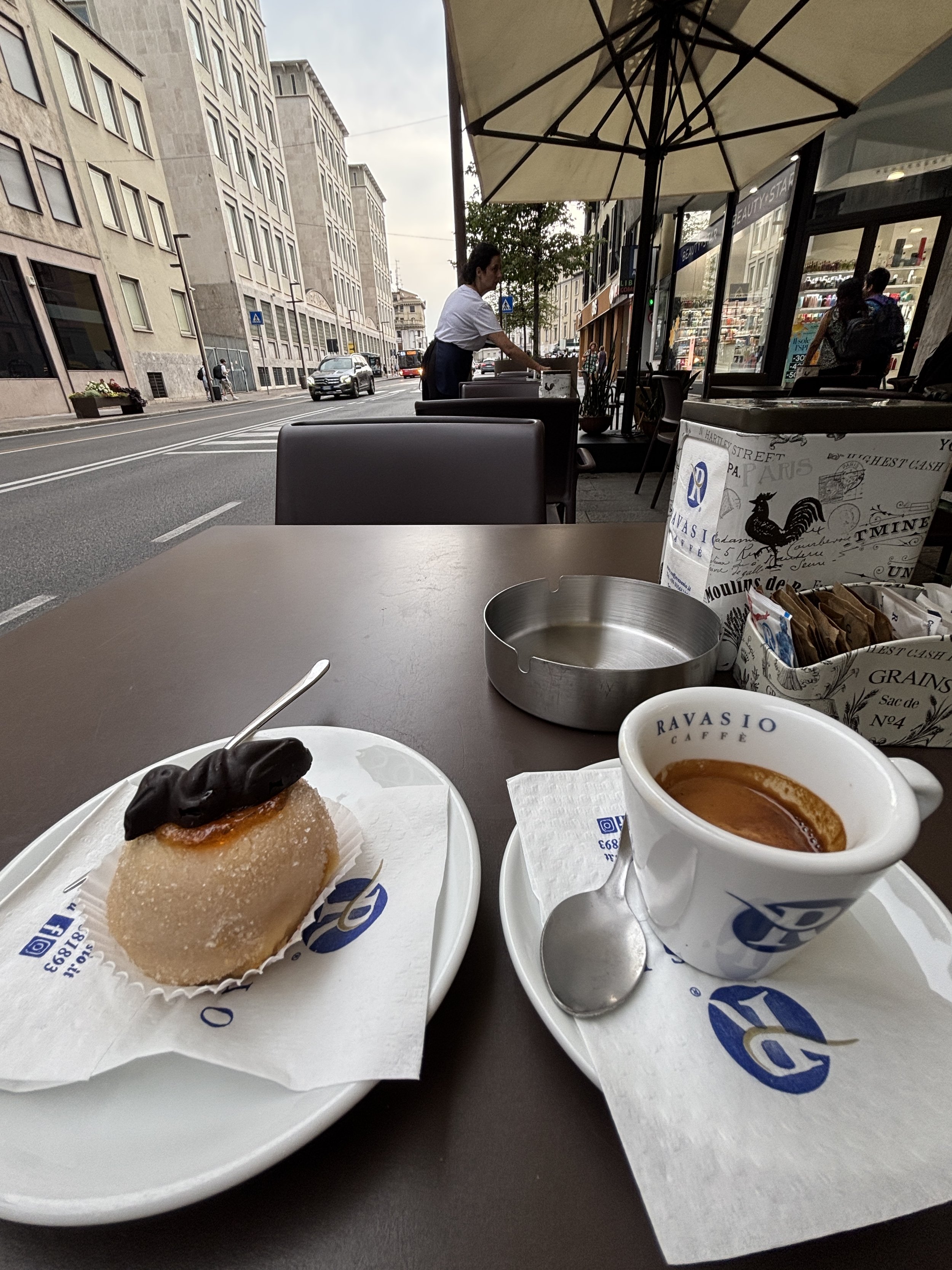
This is a more simple place, but one not devoid of character. It’s, actually, a pretty small place: there is no place to sit inside, there are just a handful of tables right on the pavement. It is quite central, though, very convenient if waiting for the bus to the airport, for example.
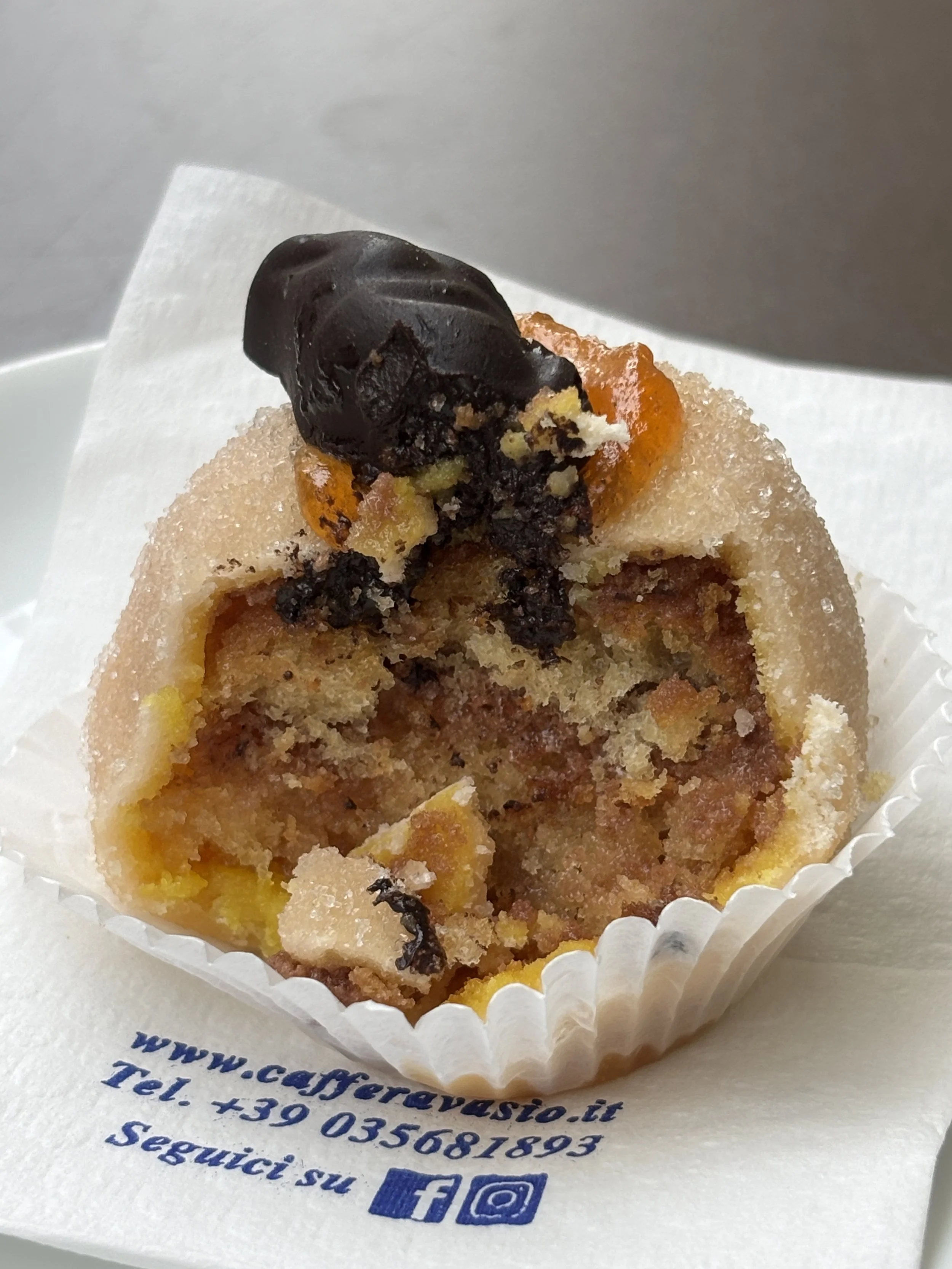
Here you can also taste one of Bergamo’s specialities, called “Polenta e Osei”, an spherical sweet cake filled with a dense marzipan paste and crowned by a bird-shaped (hence the name “osei”) chocolate.
What to see in Bergamo’s historical center, the Città Alta
So, let’s say you have taken the funicular, which has taken you straight to the heart of the old (upper) town of Bergamo.
We’ll discuss shortly some of the main sights to see in the Città Alta, but, first of all, a couple of paragraphs about the history of Bergamo and the main events that shaped its past.
I referred earlier to Roman Bergamo, but I should also add that, while the Romans left their imprint on the city, there was already a Celtic pre-Roman settlement at the spot where the Città Alta stands today.
Although some vestiges from the Roman era are visible in the old town, the Bergamo most visitors come to see today is that of the late Middle Ages, when the city fell under the rule of Venice. The Most Serene Republic of Venice annexed Bergamo in 1428 during a period in which it vied with other Italian states to expand its continental possessions, the so-called “Terra Ferma”.
Bergamo remained under Venetian rule for more than three centuries, until the arrival of Napoleon and the start of the period of political change and agitation that culminated in the Risorgimento and the unification of Italy (check the section of the “Museo del ‘800 for more on this historical period).
So, now, without further ado, what sights are not too miss in Bergamo’s Città Alta?
The main square (“Piazza Vecchia”)
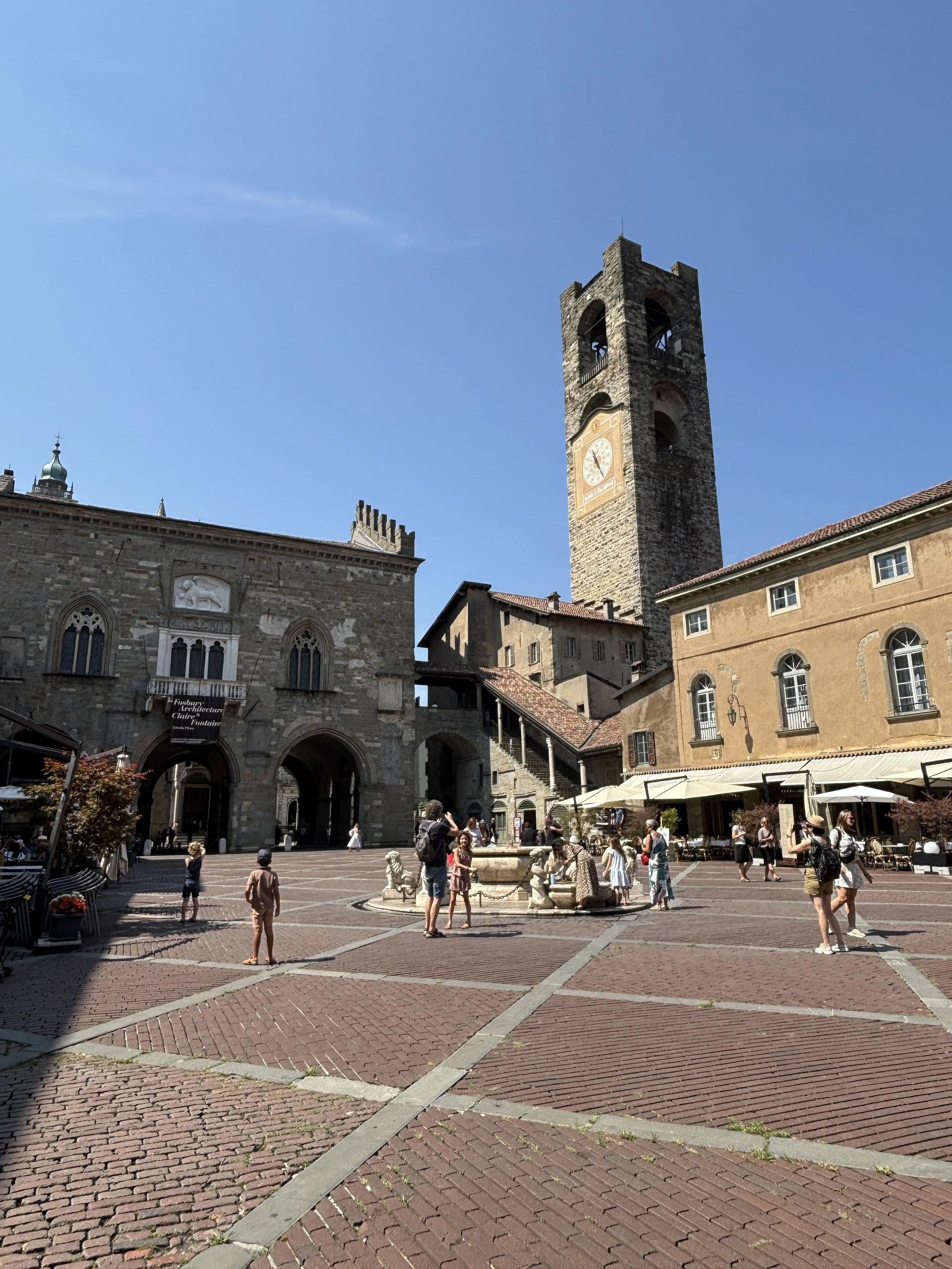
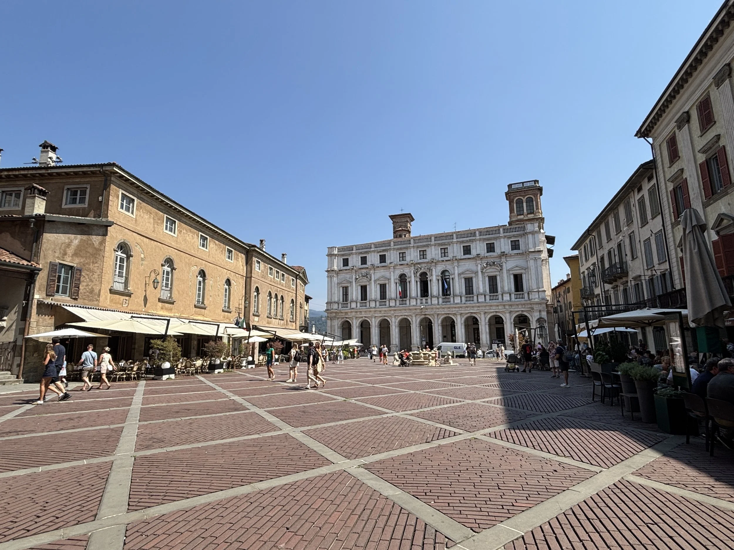
Apparently Le Corbusieur considered to be the greatest example of urban space in Europe (although knowing the aesthetic tastes of the Franco-Swiss architect, I am not quite sure this counts as praise!). This has been the political, civic and religious center of Bergamo for many centuries. Besides the large monumental marble fountain at its center there are quite a few monumental buildings of note here, concentrated in a relatively small space.
The Palazzo Nuovo, from the 17th C. and currently a public library dominates one side of the square
On the exact opposite side (technically a separate square, the Piazza del Duomo, although physically connected to the Piazza Vecchia through the portico of the 12th Palazzo della Raggione) there is a collection of rather impressive religious buildings:
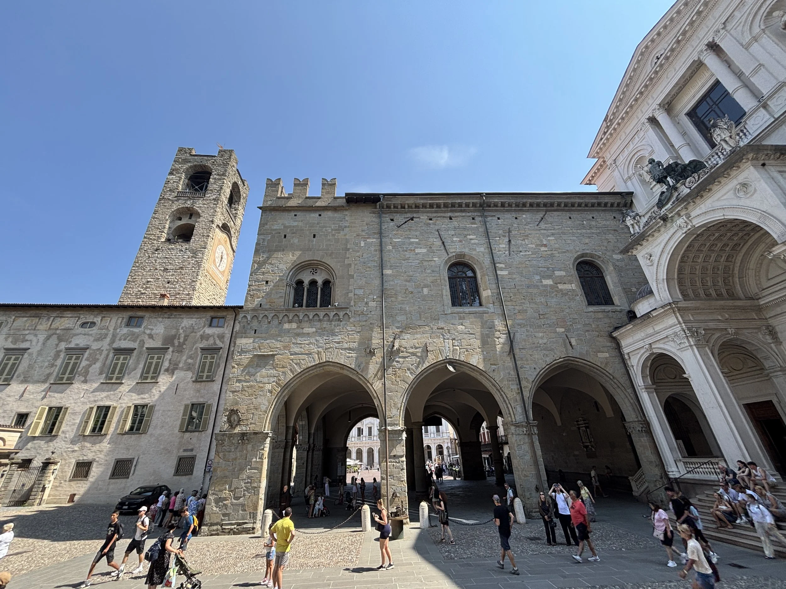
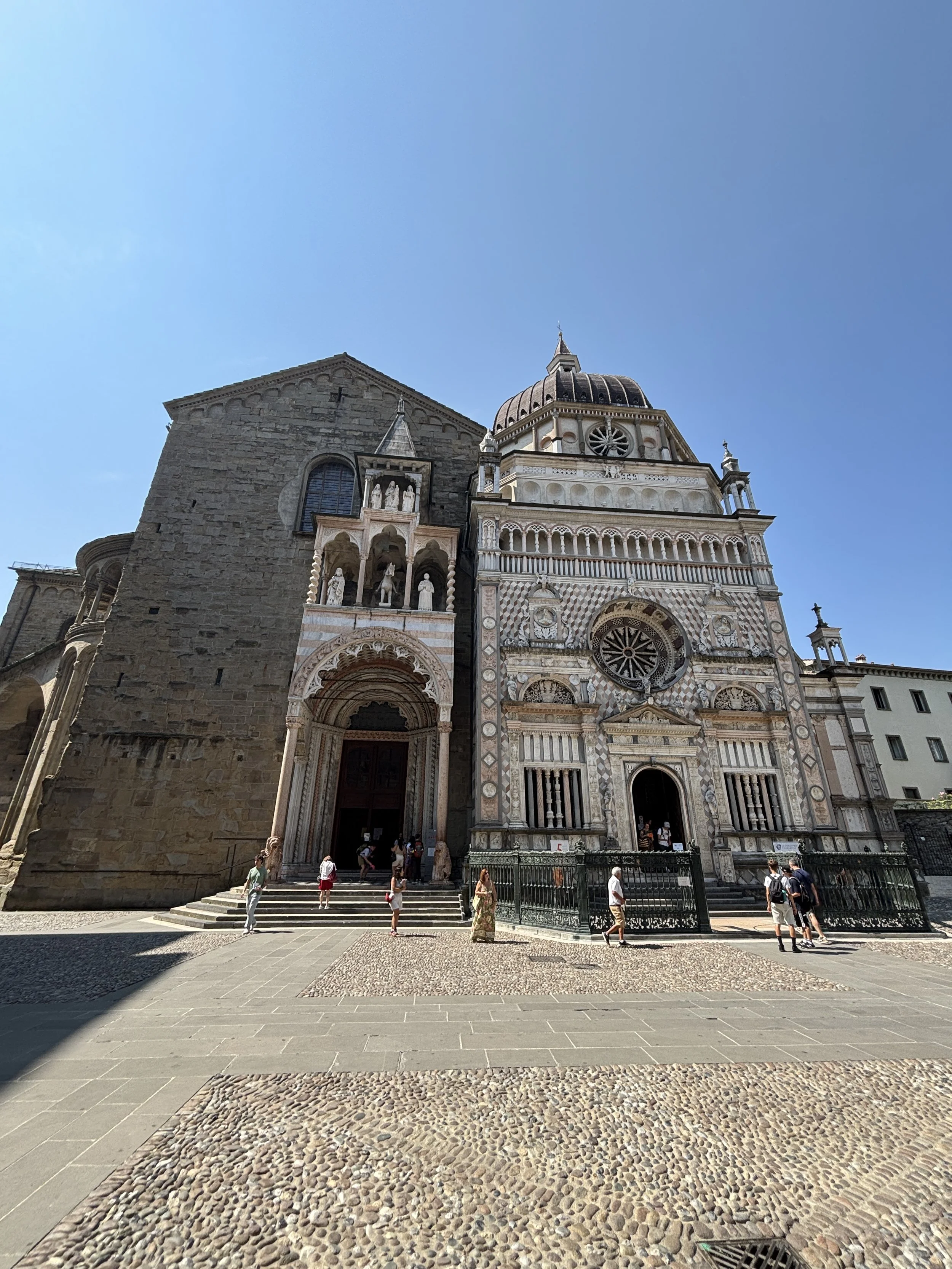
The Duomo, which is actually Bergamos cathedral, even if most visitors focus on the most eye-catching Basilica and Colleoni Chapel next door.
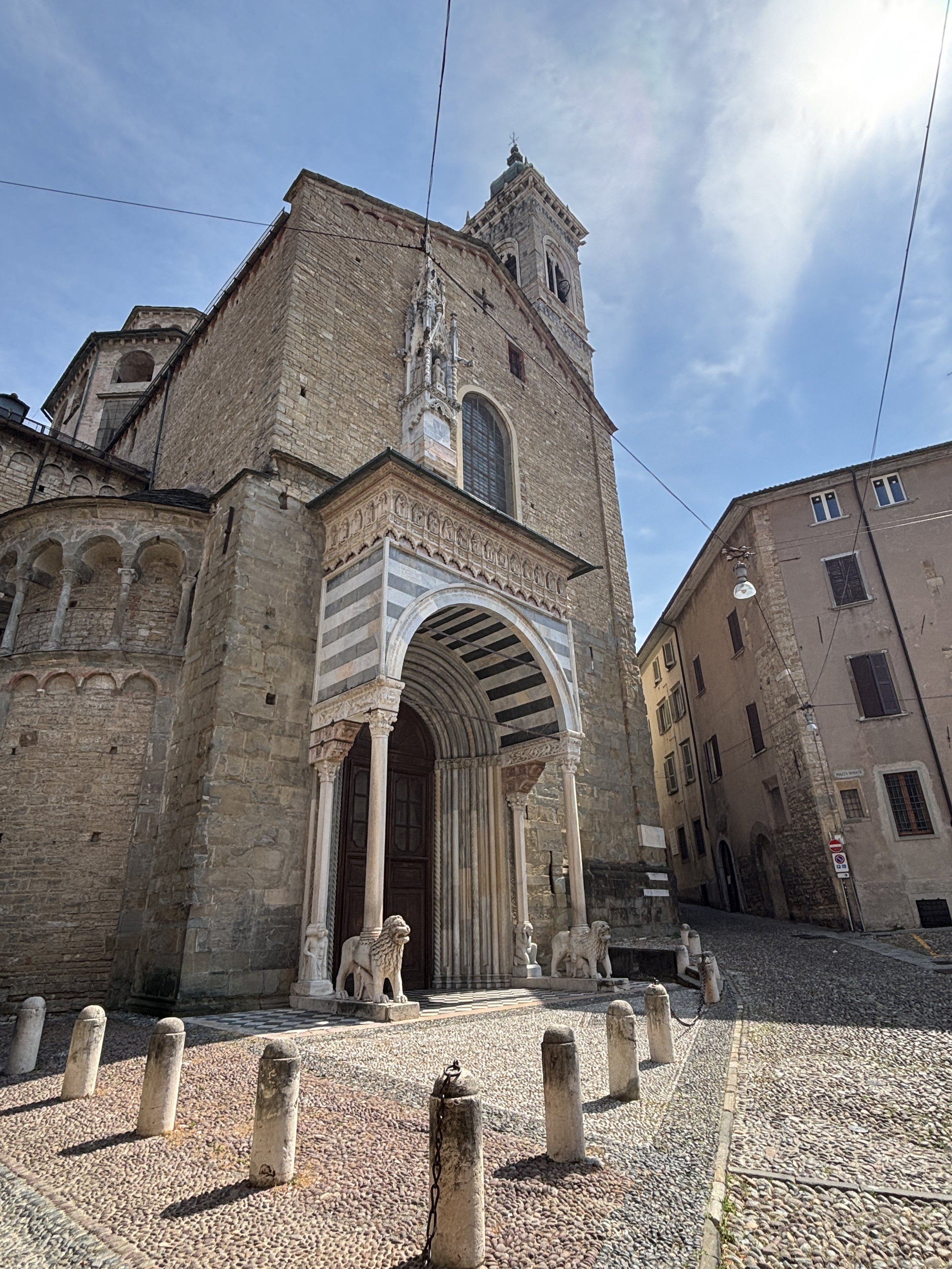
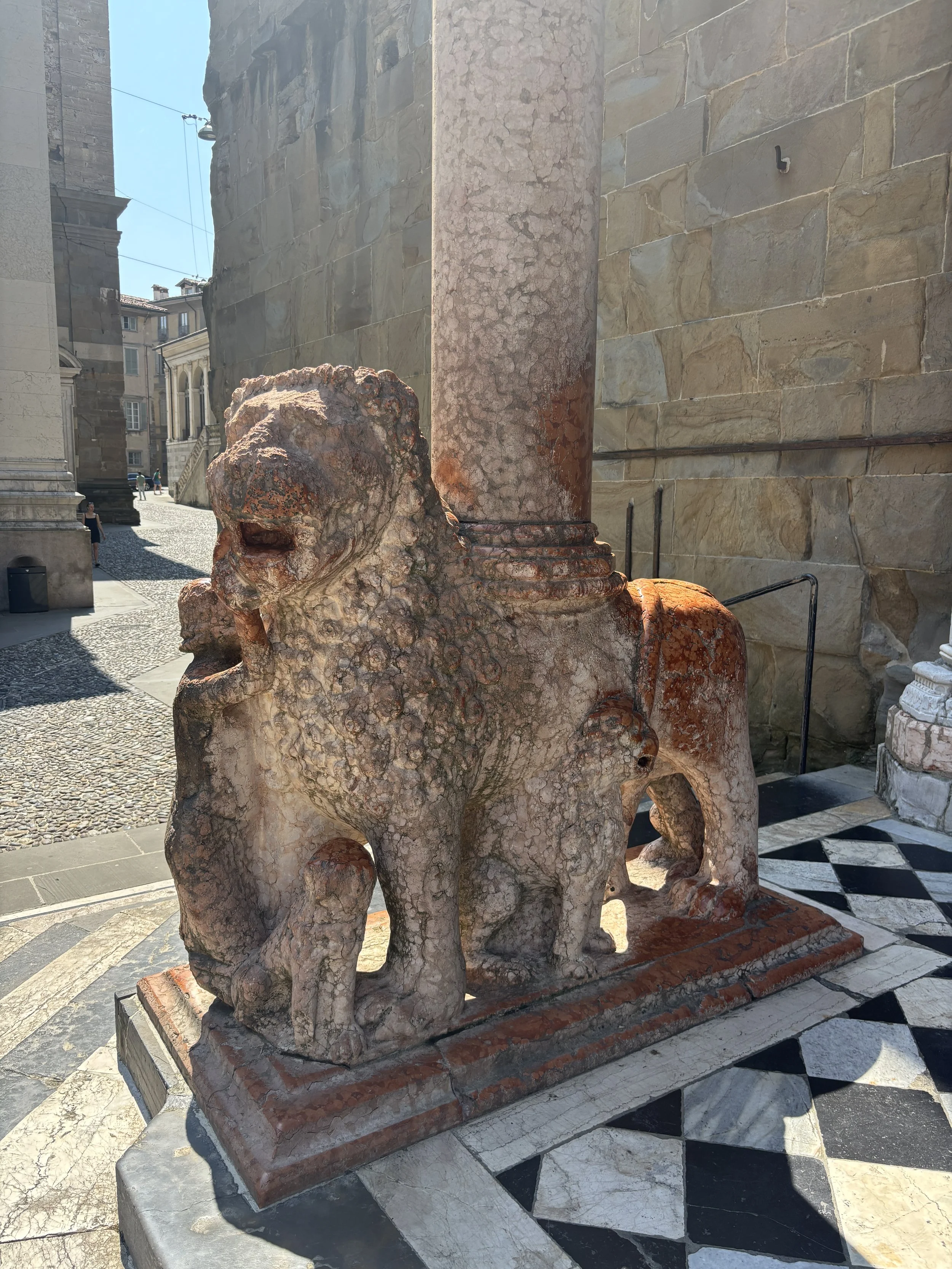
The Basilica di Santa Maria Maggiore, originally from the 12th C. although its constructions lasted several centuries. Look here for the pink marble Venetian lions at the entrance
The Colleoni Chapel, adjacent to the Basilica is perhaps the most eye-catching building of the ensemble. It was built in the late 15th C. as a mausoleum for a condottiero (essentially a Renaissance period warlord) called Bartolomeo Colleoni, hence its name. Sadly, not photos are allowed inside, so you will need to Google it to look how it looks like.
The Battistero, a small octogonal structure on one side of the square. This was actually not the original emplacement, which was inside the Basilica.
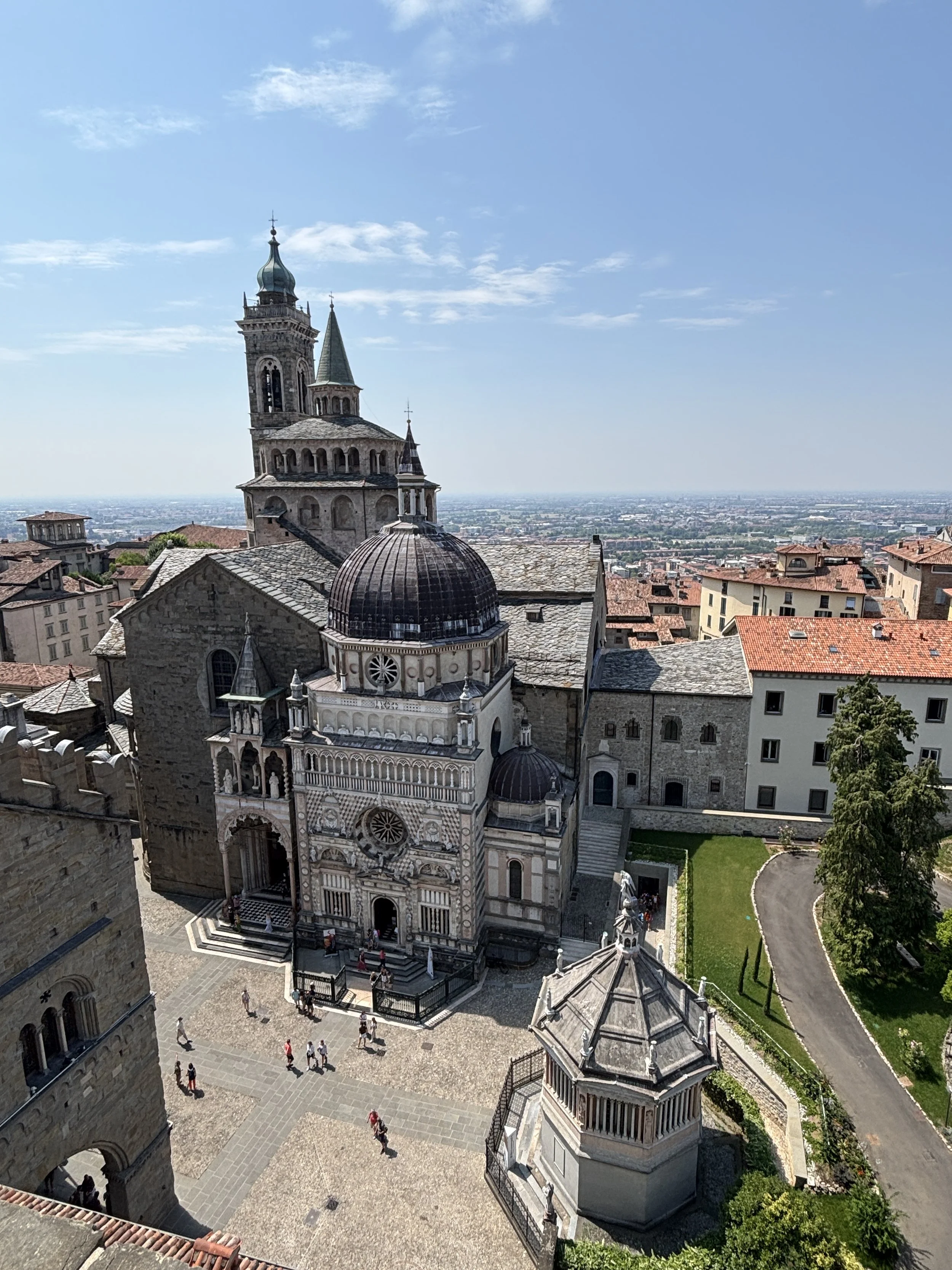
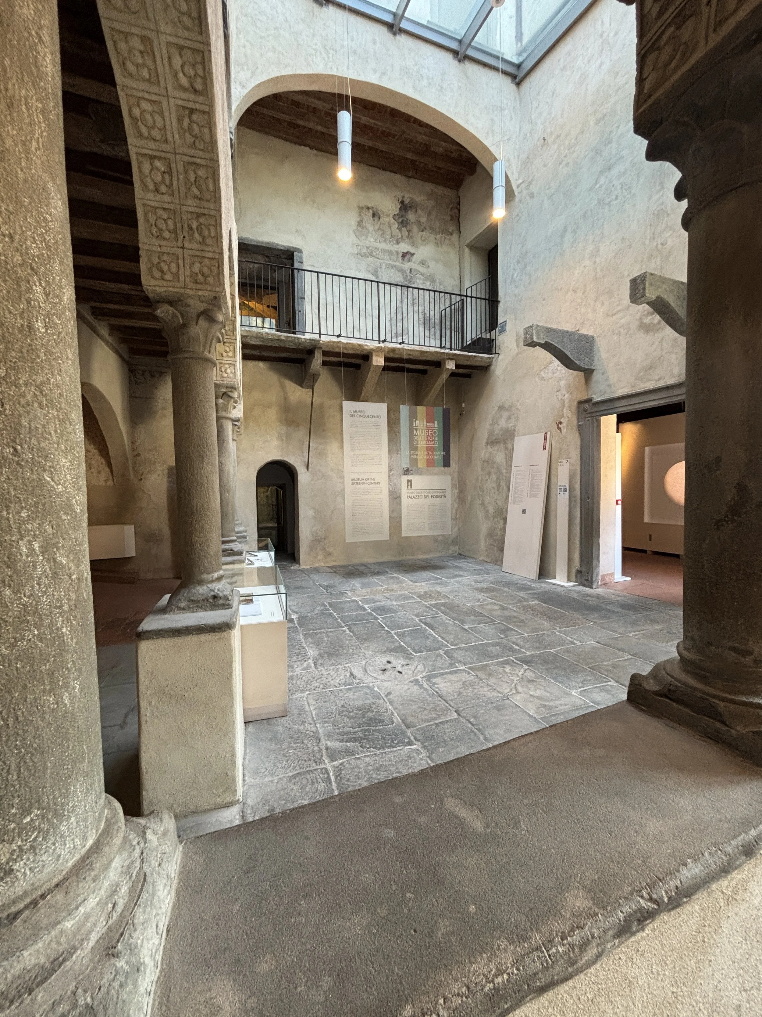
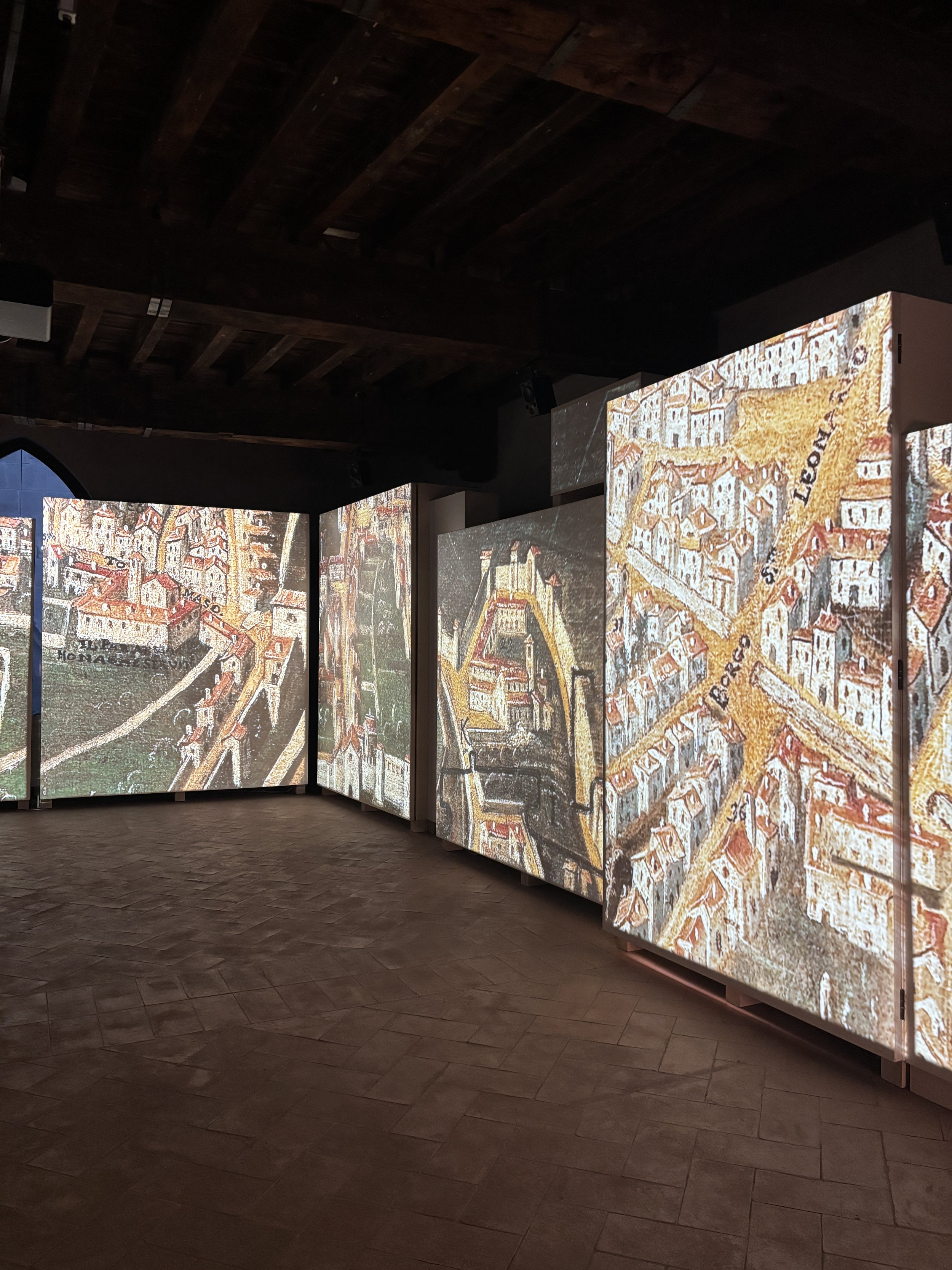
The main tower (“Torre Civica”), the Palazzo de la Raggione and Museum of the ‘500, is another building of note on one side of the square. This was originally the property of one family, which built a defensive tower, as it was the norm in many Italian cities at the time where different factions vied for power (often violently).
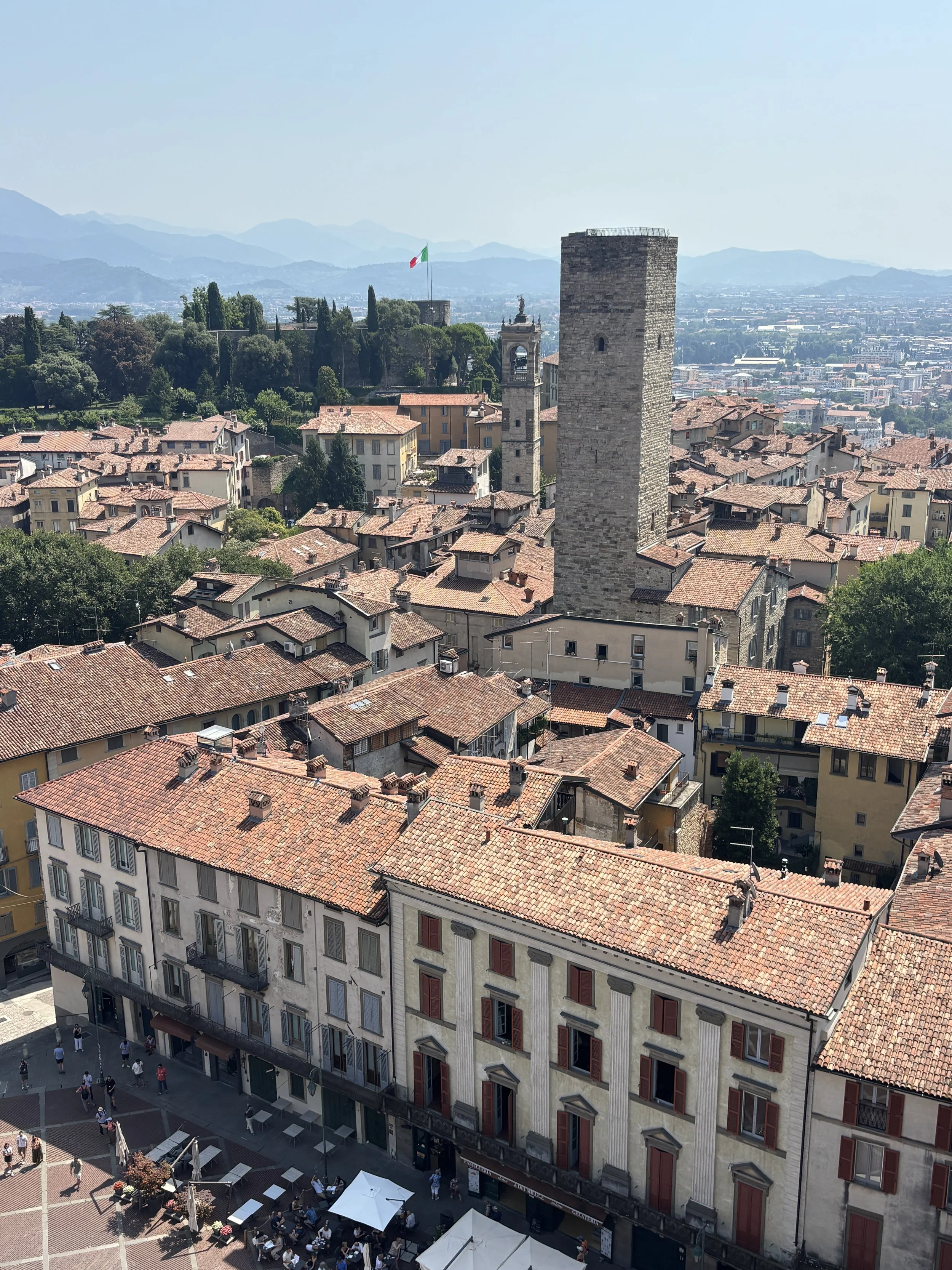
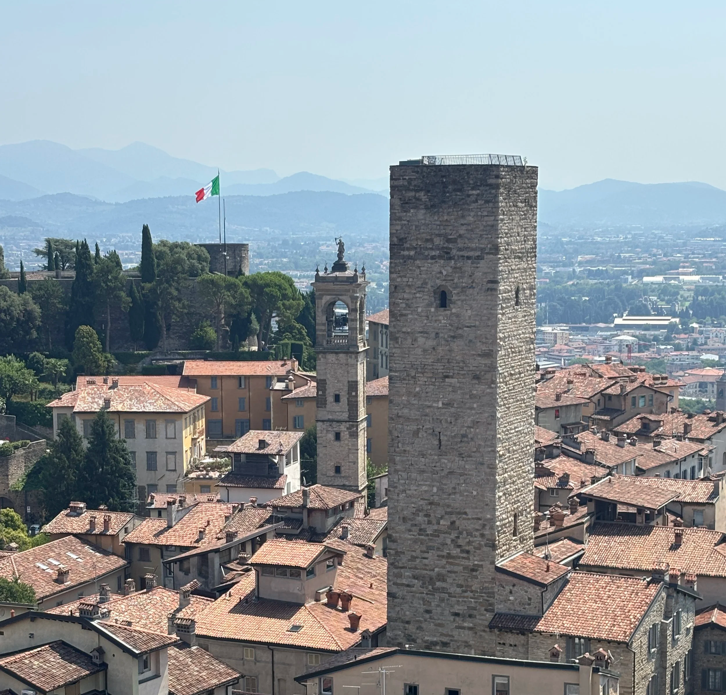
From the mid 15th C it became a city building, hosting the Venetian governor and, with its bell tower, also a sort of broadcasting station of the time. Nowadays it hosts the museum of the ‘500s, which is dedicated to the history of Bergamo during the Renaissance period. The museum is not huge, it includes the view of some Roman foundations and some interesting details about the history of Bergamo, but the highlight is the tower, which you can climb for amazing views over the whole of the Città Alta and the surrounding countryside. Ticket is around €10, but the views are worth it, in my opinion.
La Rocca (fortress) and museum of the ‘800
This is another point of interest in Bergamo’s Città Alta which I recommend visiting.
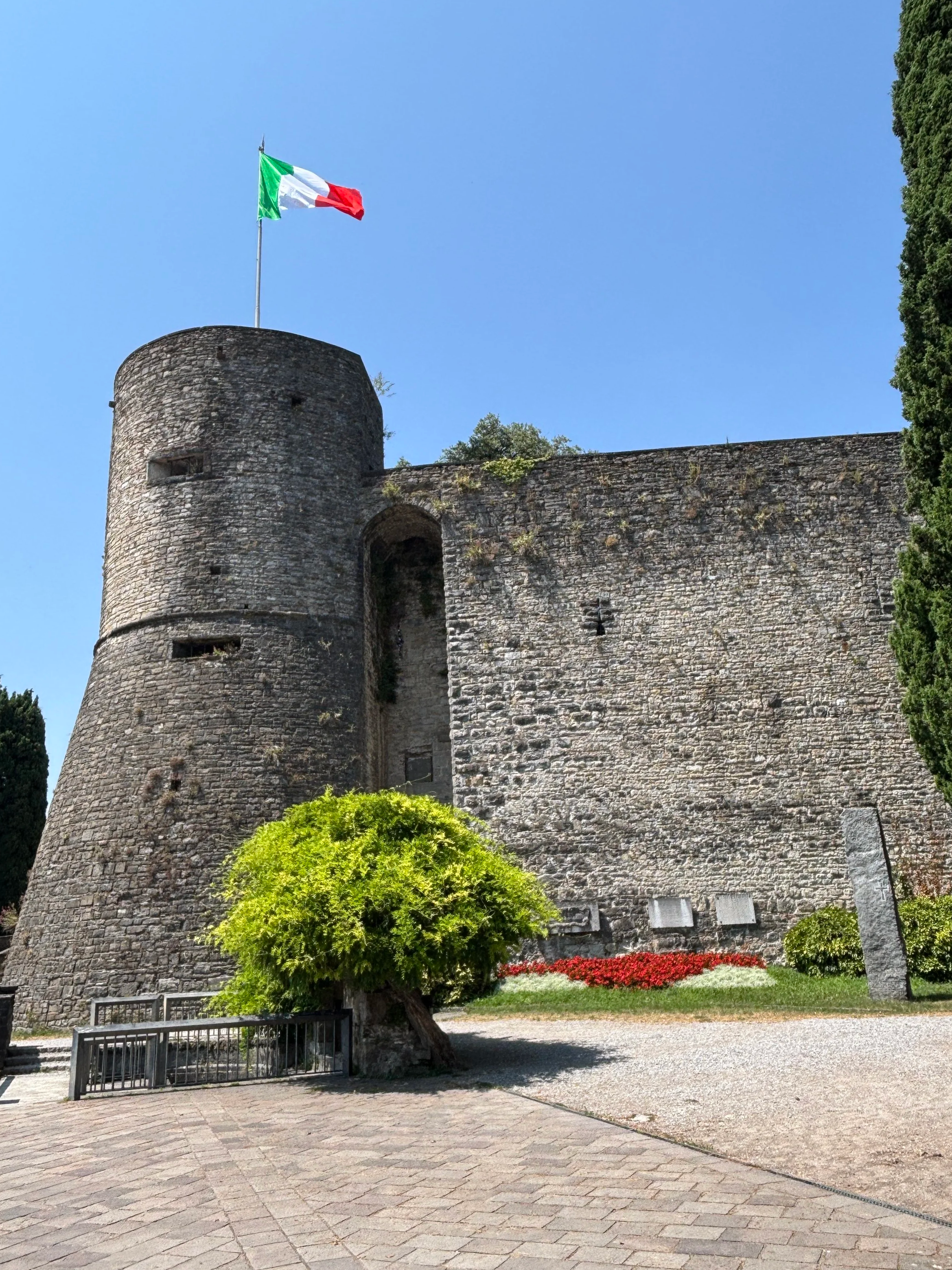
“La Rocca” is, essentially, the city’s fortress, which is located at the edge of the Città Alta overlooking the plains of Lombardy and the nearby Alps.
Access to the gardens is free. This part of the fortress is, essentially, an Italian war memorial dedicated to those that fought in WW1 and WW2. There are several pieces of artillery and armour from that period, as well as commemorative monuments for pretty much every single branch of the Italian military.
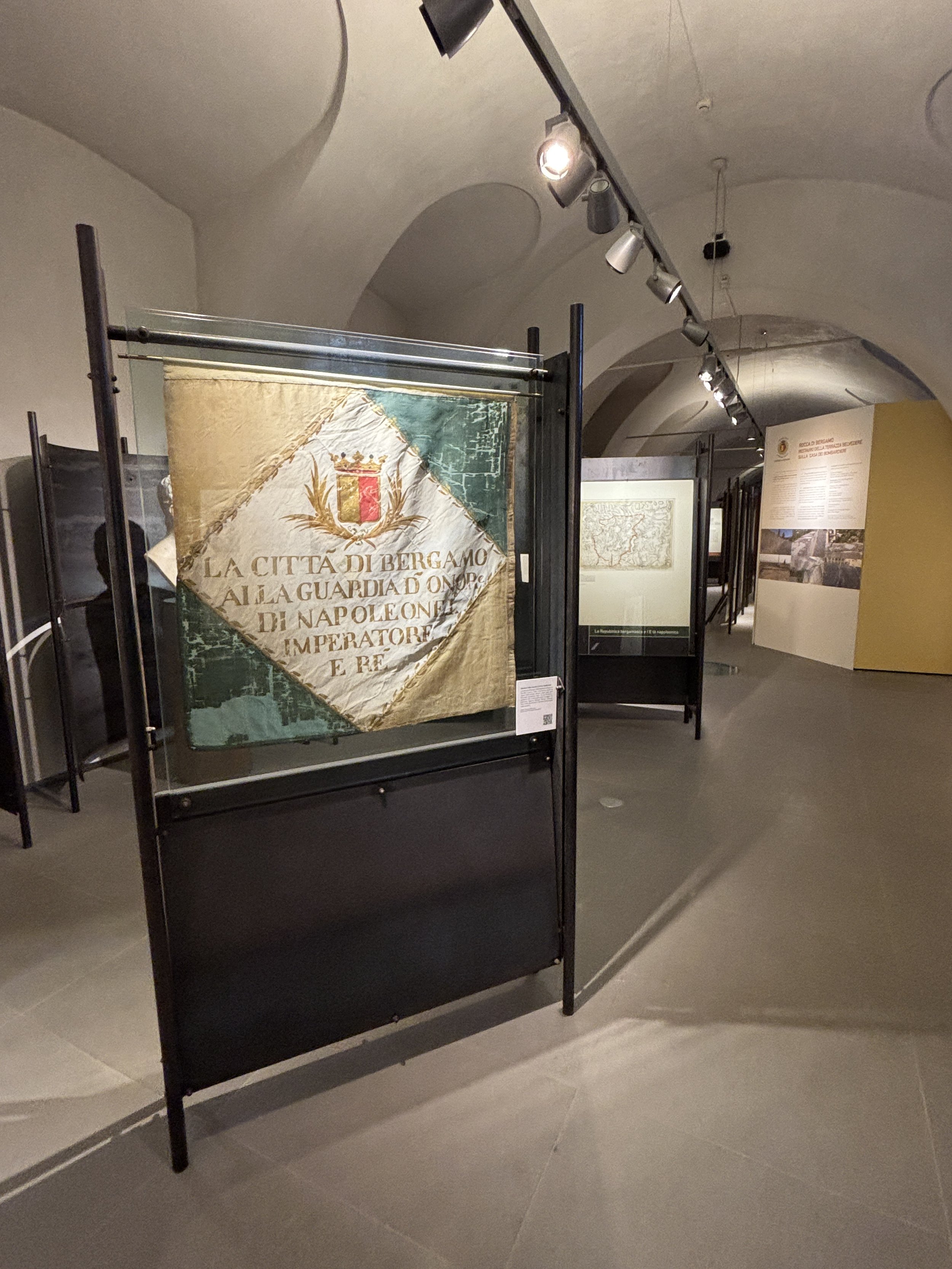
Inside the castle there is a small but pretty interesting museum, the Museum of the ‘800, which is focused on the history of Bergamo during the period that goes between the Napoleonic Wars and the Italian unification.
This is a well organized museum which focuses on the role that Bergamo and the surrounding region played in those momentous events and it provides quite a lot of information as well about the social and economic context of the time.
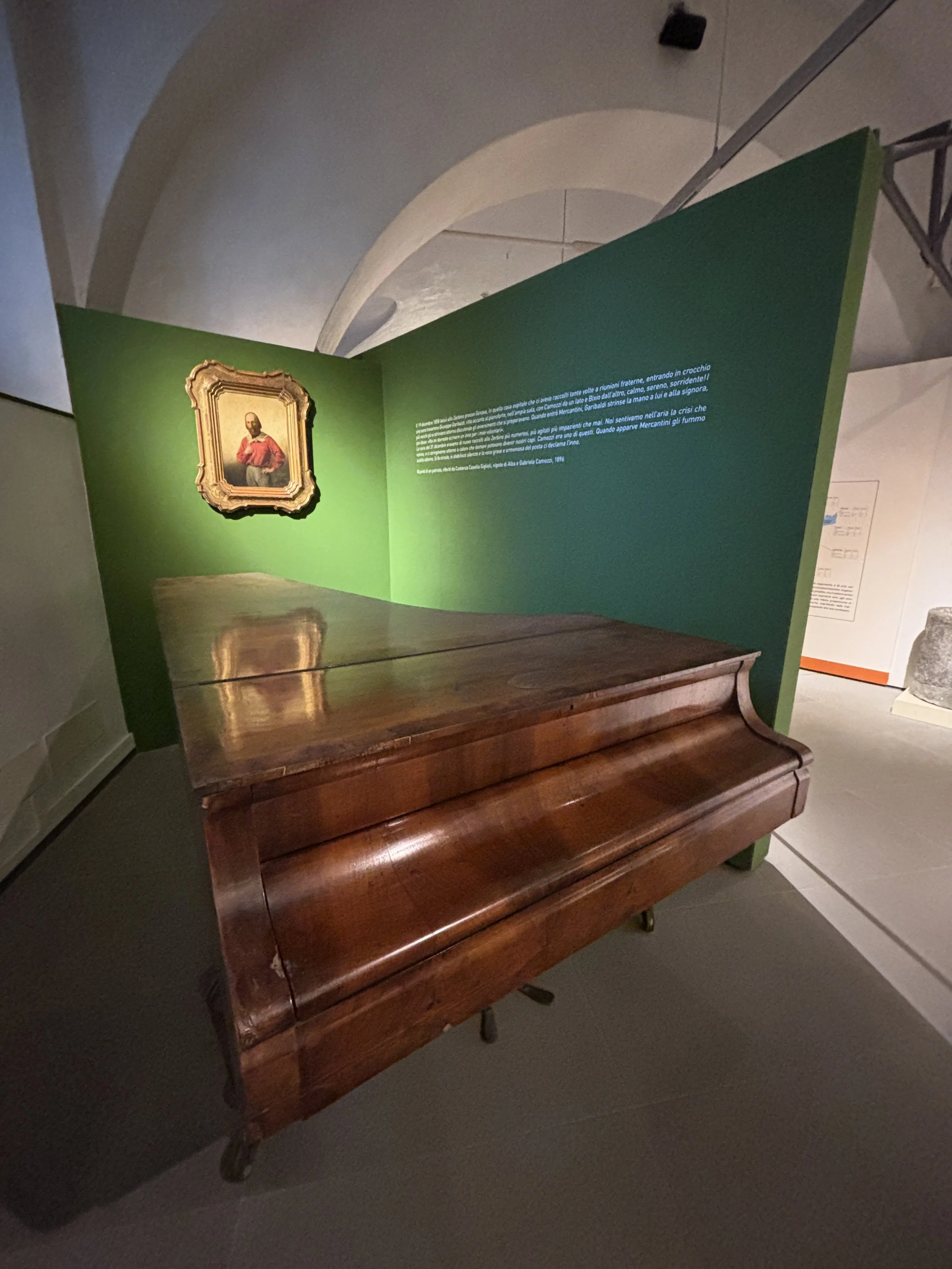
The museum has also a rather impressive collection of period items, including uniforms, documents and the like, it even displays a piano that was once played by Giuseppe Garibaldi no less! It costs €5 but if you are interested in this period of Italian history is well spent money.
A recommended itinerary through Bergamo’s Città Alta
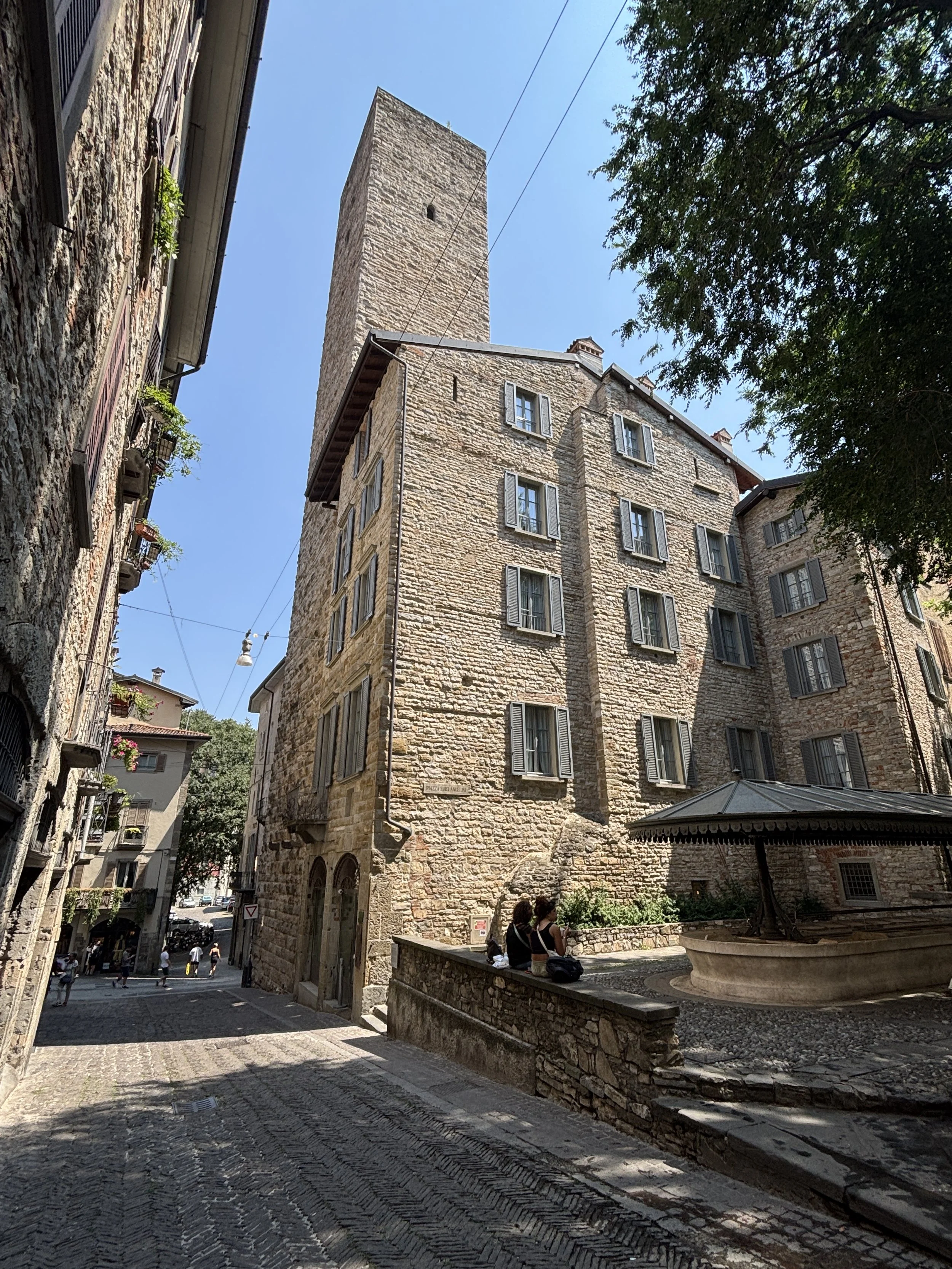
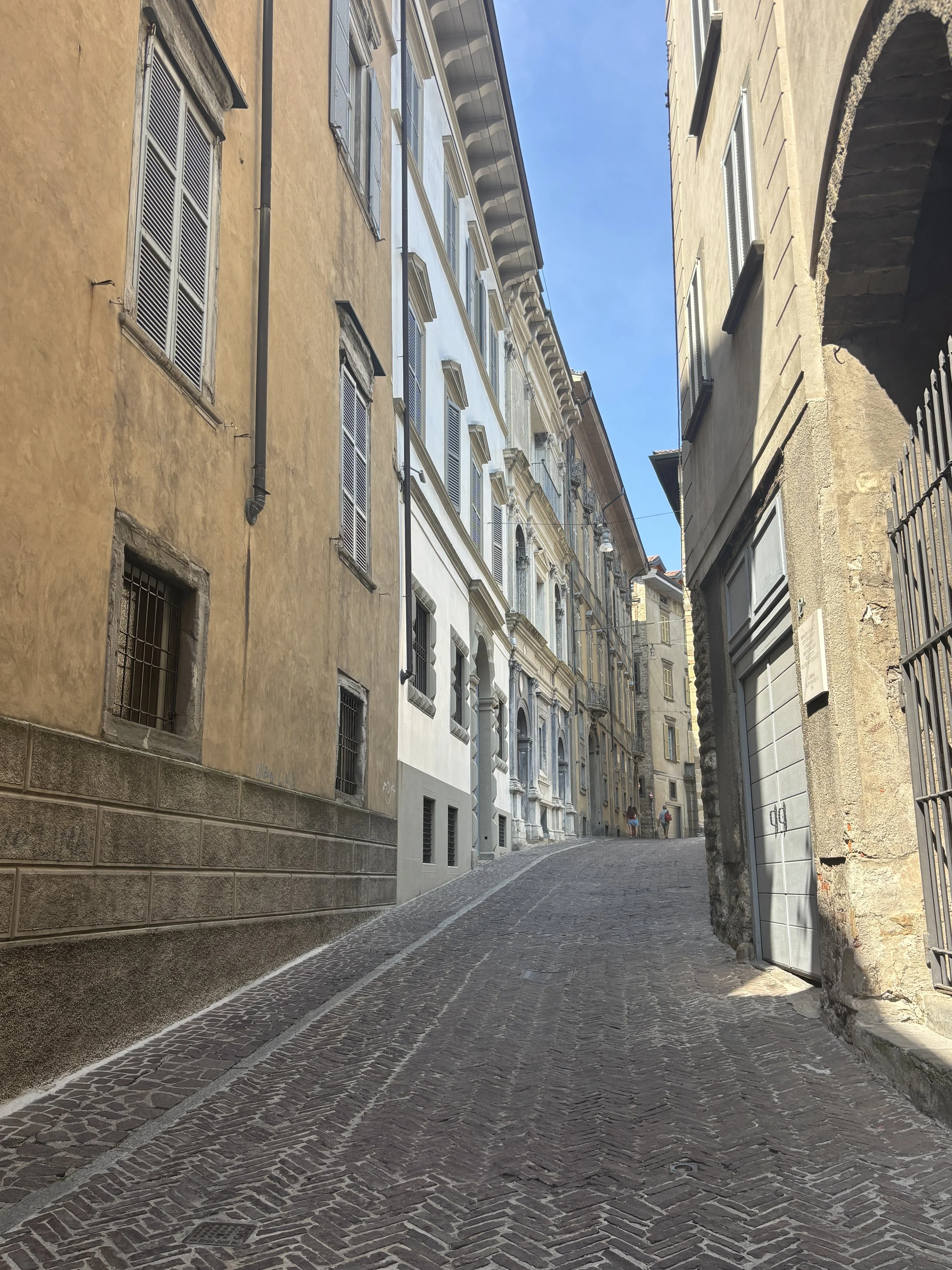
Besides this handful of must-see landmarks, Bergamo, like so many historical cities in Italy, is a great place to spend a morning just strolling leisurely around.
Most of the main streets are, of course, pretty touristicized. (not even sure this word exists, but you get the idea!). However, I would say (based on personal vibes here) that it is not overcrowded and banalized to the same extent (at least not yet) than other more classical destinations, such as Rome or Florence. There are, of course, many souvenir shops, restaurants and ice-cream parlors that are clearly catering to tourists, but their offerings have kept at least an appearance of authenticity (whatever this means nowadays) and some local connection, for example, in the sort of products they offer.
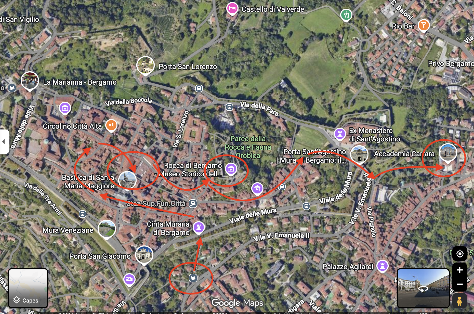
In the map below I share the itinerary that I roughly followed during may wandering through Bergamo’s Città Alta.
Tasting Bergamo’s Casoncelli
I know I may get in trouble about this one, since food in Italy is a sacred topic, particularly whenever local specialities are concerned. However, here is a casual eating concept that I came across while walking around Bergamo’s Città Alta which I quite liked.
To be clear, we are talking fast food here, not high cuisine, but I quite liked the modern and imaginative way in which one of the signature dishes of Bergamasca cuisine is being offered to visitors.
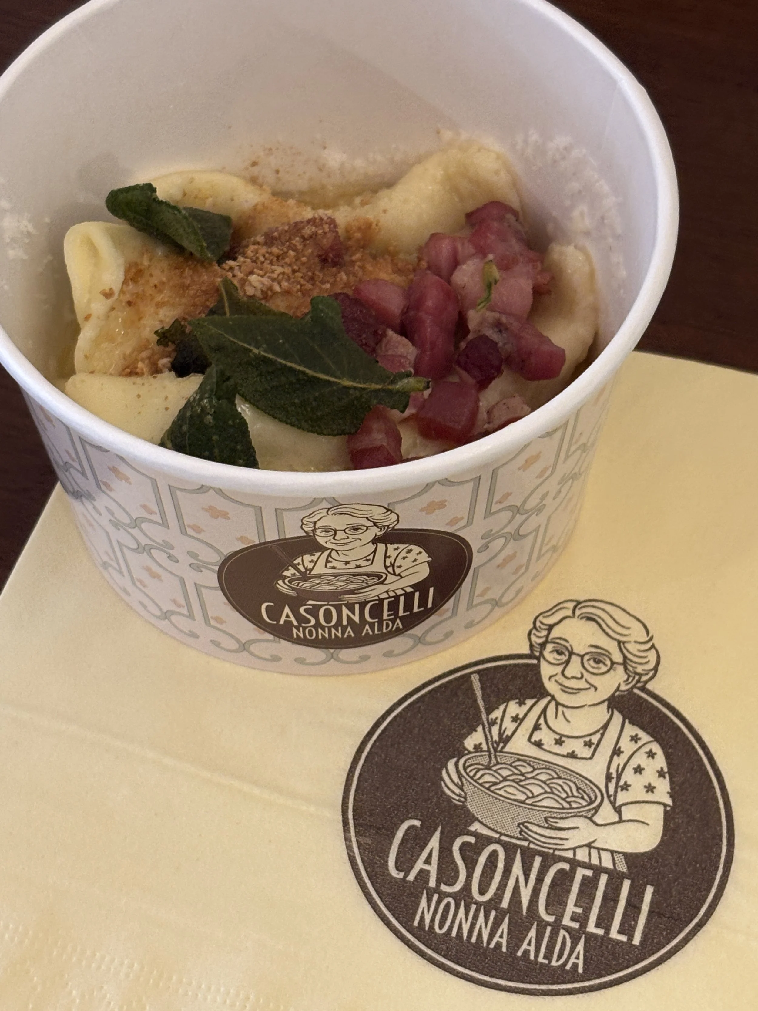
The Casoncelli are a sort of dumplings which are served with a side of vegetables and bacon (a vegetarian version also exists, btw). So, pretty simple and easy to eat while on the go, which is the reason I had a bite here.
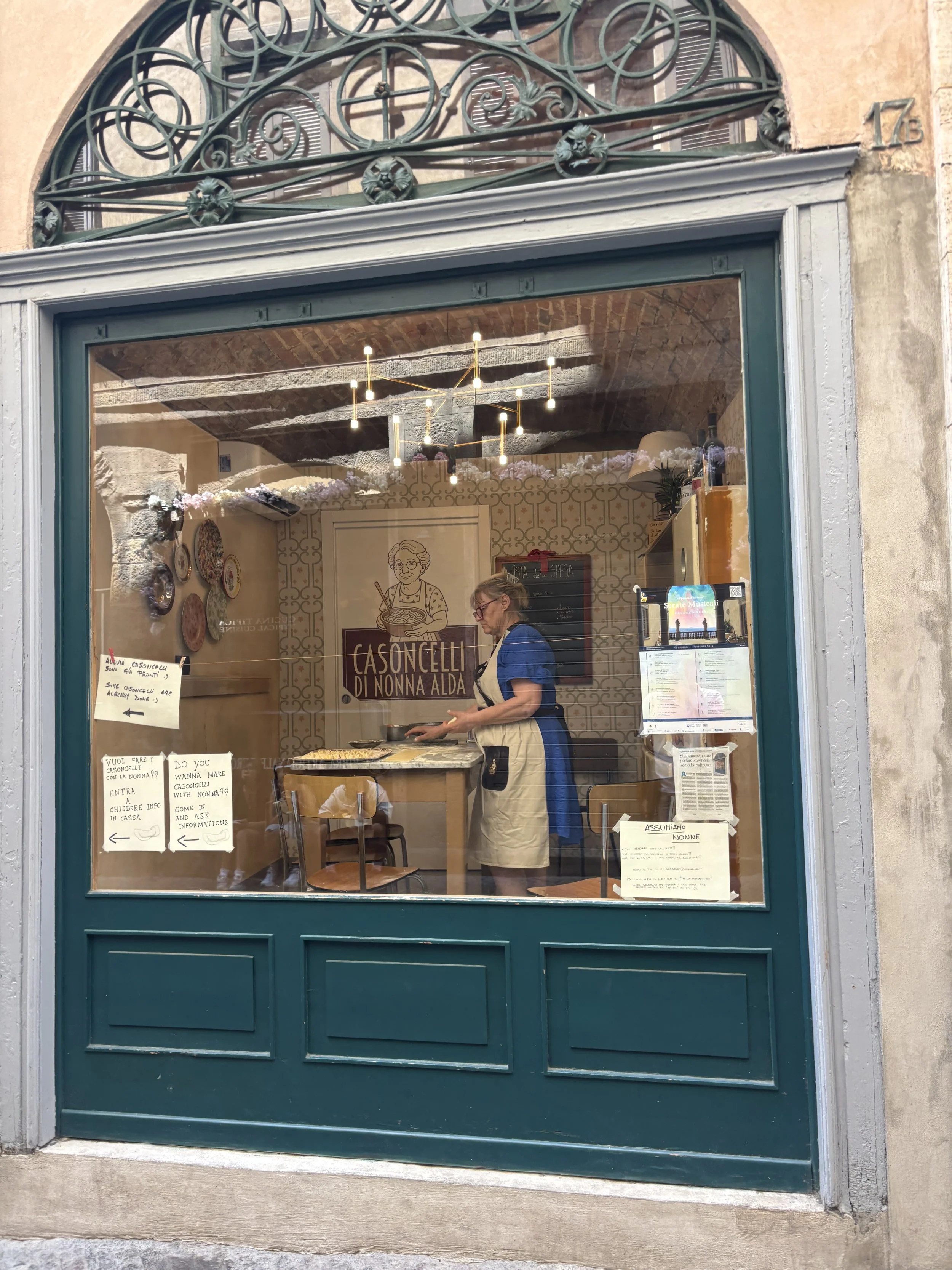
At “Casoncelli Nonna Alda” they play with the “local” and “home-made” concepts. This is a small food outlet on one of the main streets in the Città Alta, very close to the funicular station and the Rocca.
It offers just one thing, “casoncelli” (in classical and vegetarian formats) in three sizes, for €5, €9 and €14 respectively, which removes any anxieties about choices and prices.
The decor also panders to this “authentic food of the nonna” theme, with a lady preparing the casoncelli in sight from the street in an adjacent room. I don’t know if this is “nonna Alda”, most likely not, but “si non è vero, e ben trobato!”
A great, small art museum in Bergamo: Accademia Carrara
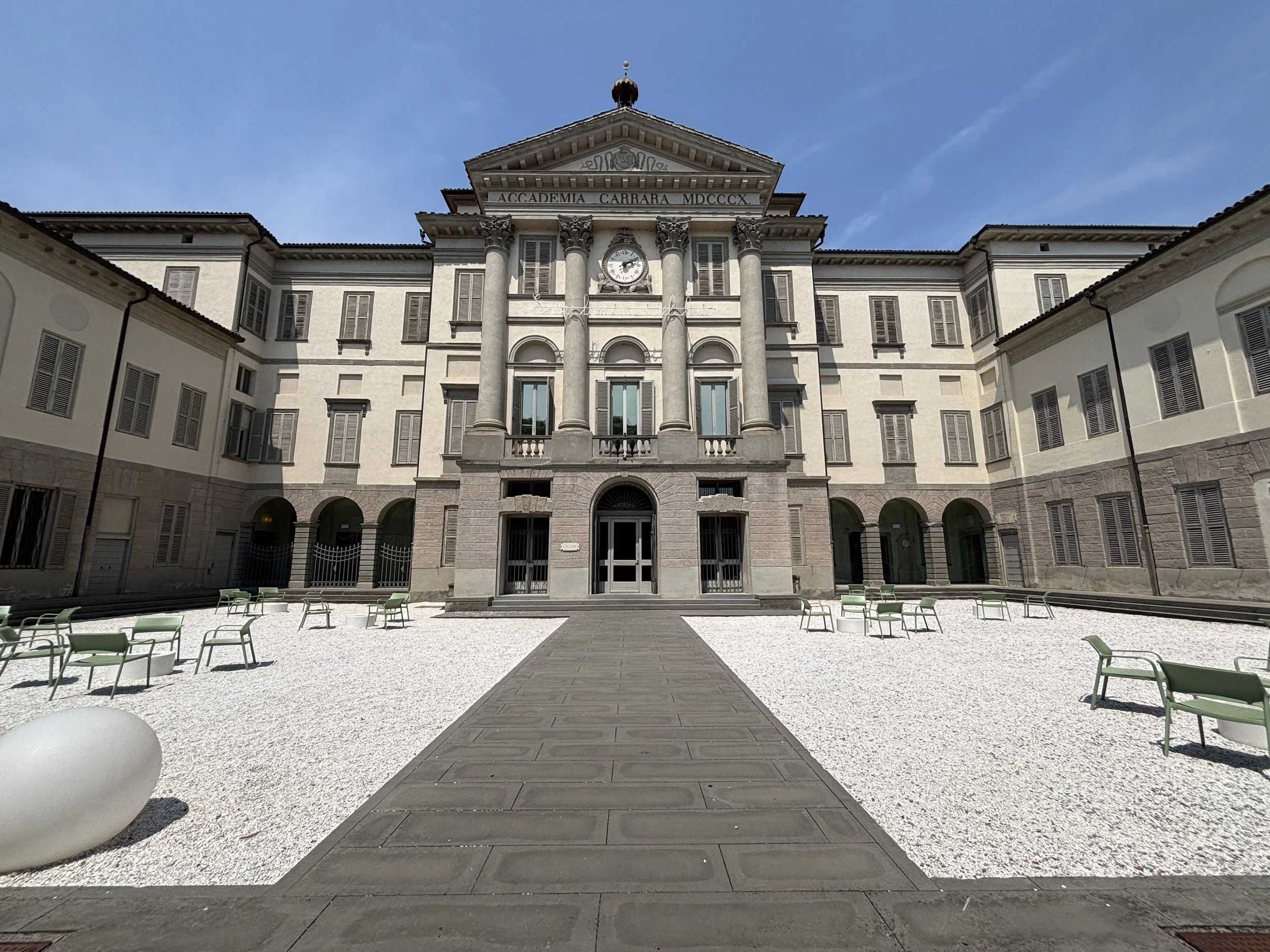
Bergamo has a top-level art museum in Accademia Carrara, and, actually, a pretty well historied one, since its roots lie in a private collection which was opened to the public in the late 18th C.
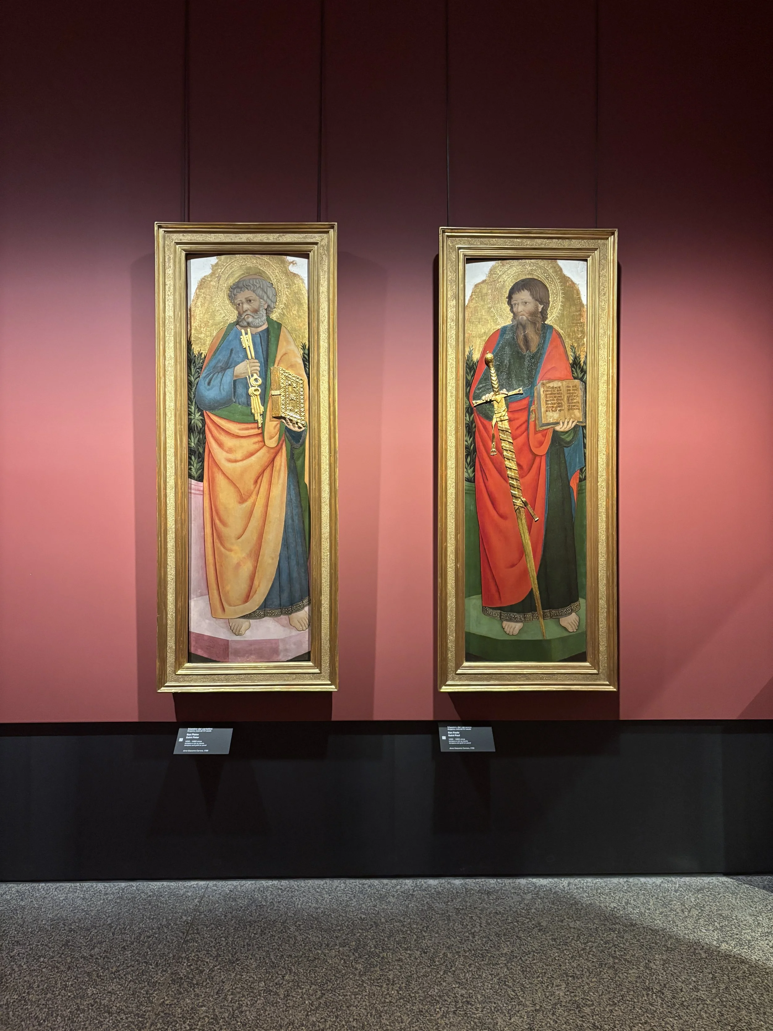
Its collections span Italian art from the Renaissance through the 19th century, and include some famous names such as Titian, Mantegna and Botticelli. There are also remarkable pieces from later periods, all presented in a nicely set-up display.
The building itself is also rather interesting, with a sober and majestic neoclassical exterior. The museum, however, went through a general revamp in 2023, which shows in the modern interiors.
Entry is €10, which is worth it if you are into these periods of art.
Museum of the Alpini
Bergamo has also a museum dedicated to the Alpini, the iconic Italian mountain troops, famous for the black feather they append to their hats. I include it here because this is a place I would really have liked to visit. Unfortunately this was not to be the case, because the Museo Alpino, which is free and run by a private foundation, opens only three days per week.
If you find yourself in Bergamo on a Monday, Thursday os Saturday and wish to check it out, here is the website.
Where to stay in Bergamo
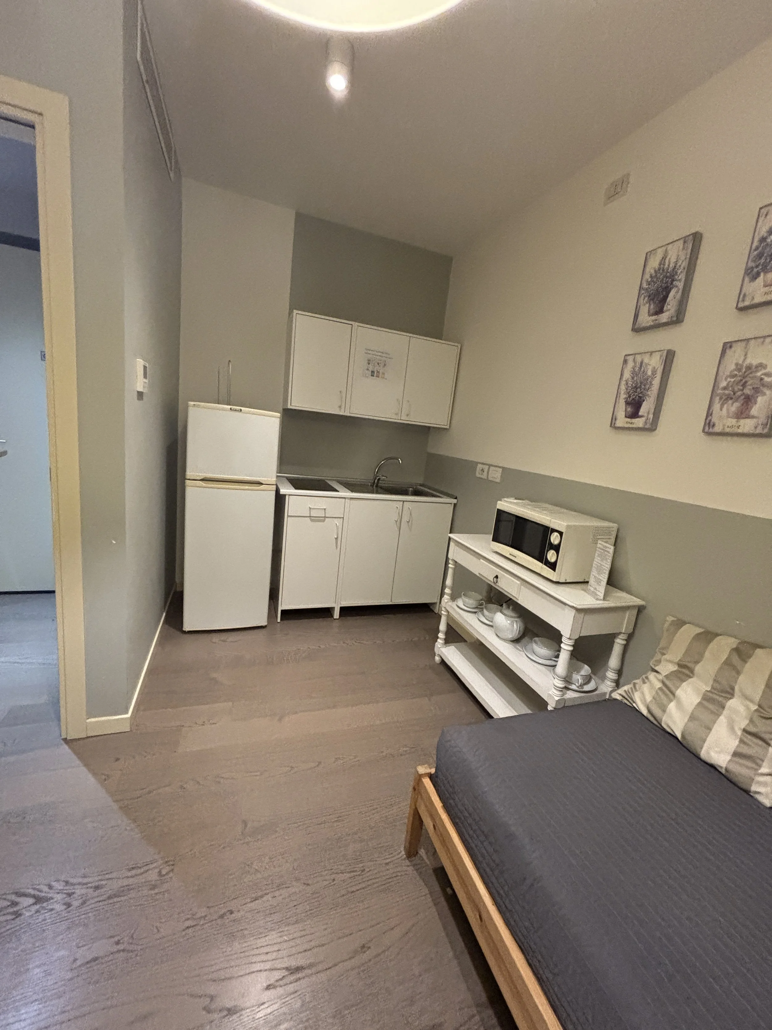
Porta Nuova Bergamo Apartments
Largo Porta Nuova, 3, 24122 Bergamo
These apartments are located in one of the most central spots in the Città Bassa and they are also very conveniently located next to the bus stop to get to and from the airport.
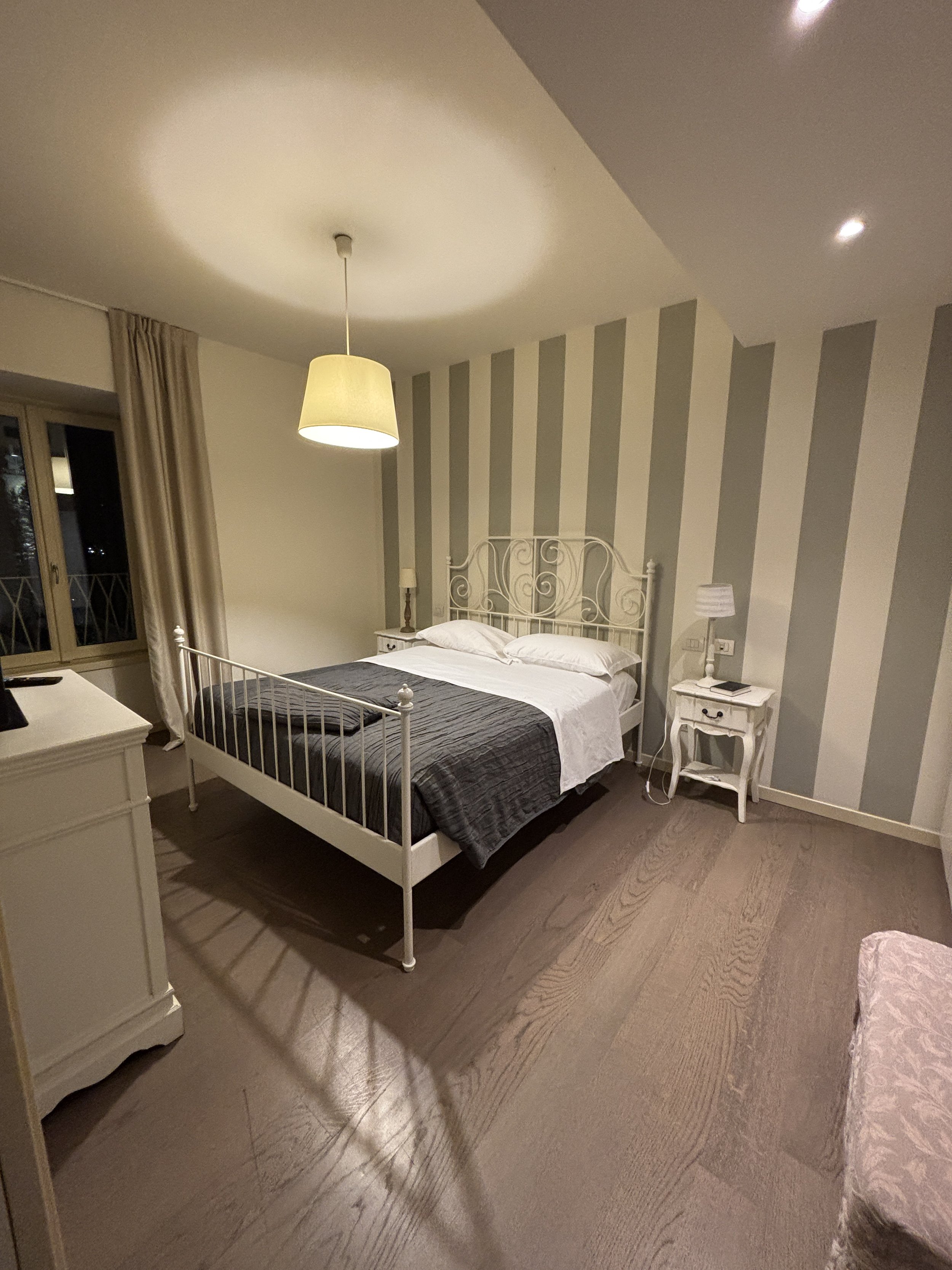
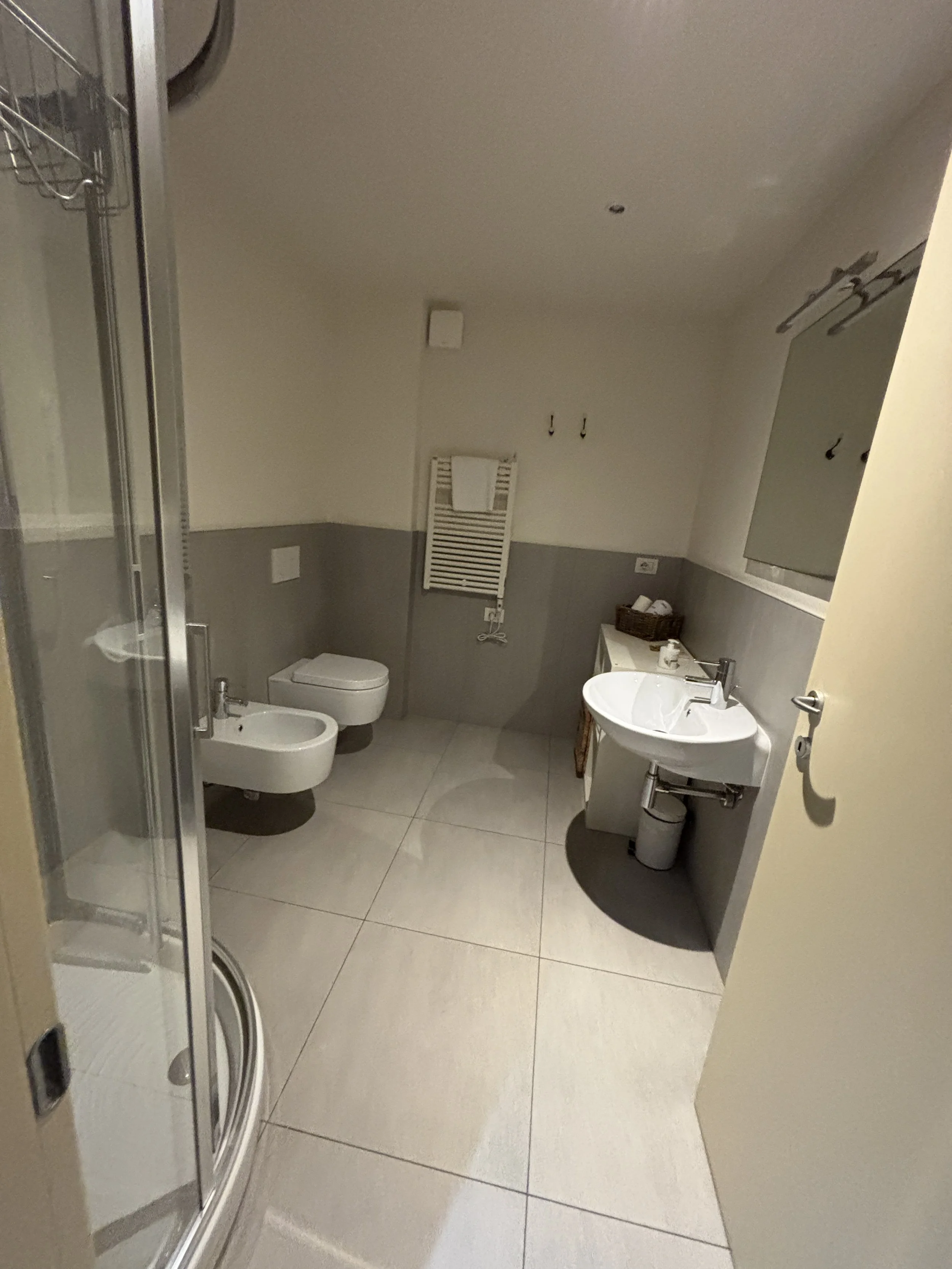
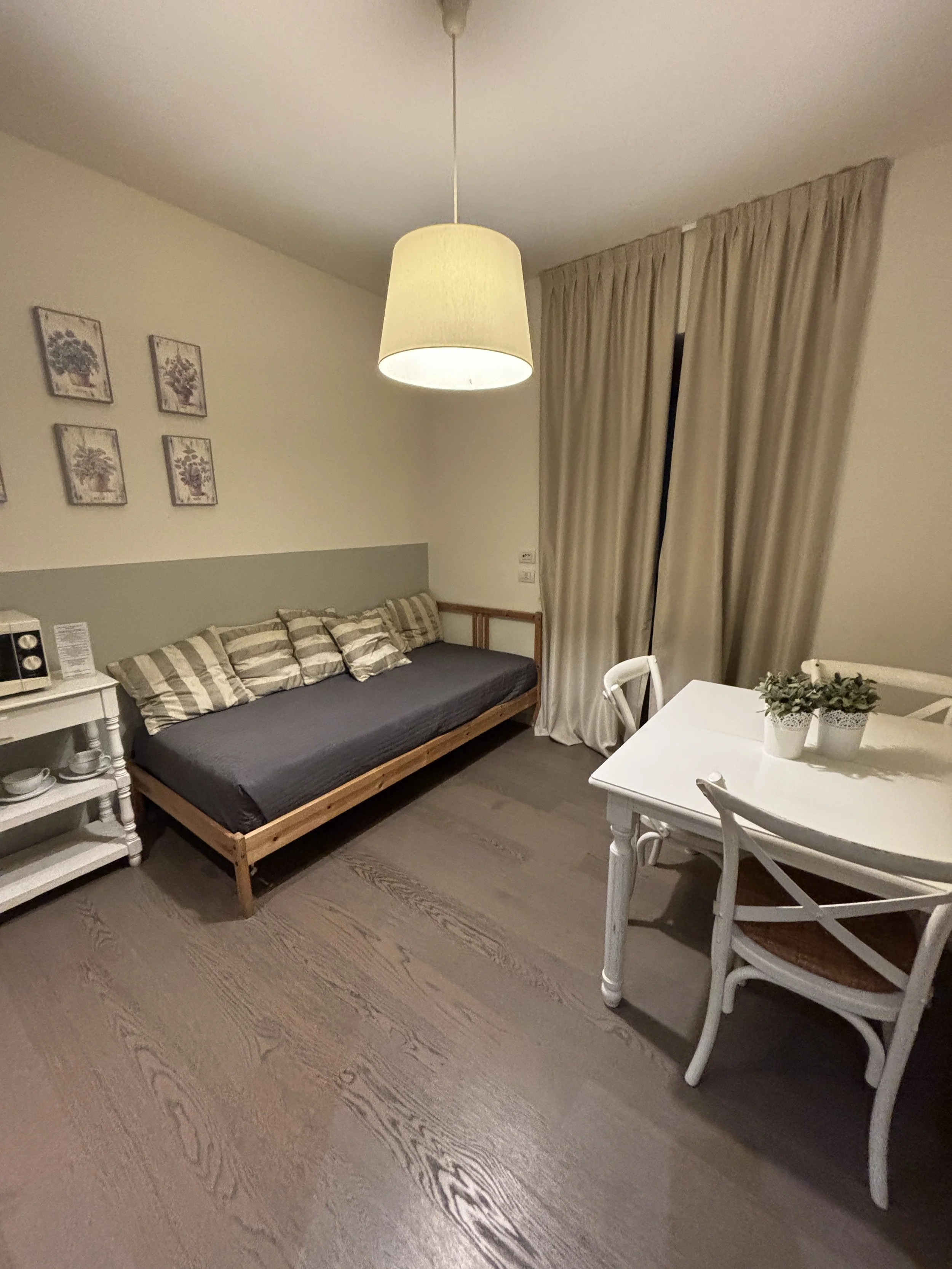
The interior of the apartment was modern, yet, with a touch of personality in the decor which avoided the typical “corporate” look of many hotels. It is also worth noting that it had views of the Porta Nuova and the Città Alta and plenty of space and natural light.
By the way, make sure you have some cash to pay the tourist tax, which was something like €5 per person per night. It is, apparently not included in the Booking.com reservation and must be paid by leaving some cash on the table before leaving (checkin and checkout are totally automated via an access code which gives you access to a postbox in which you find a physical key).
You can book the apartments here.
A great day excursion near Bergamo: Lake Iseo

Lake Iseo (Lago d’Iseo) is one of the great lakes of northern Italy. Even if a bit smaller and perhaps lesser known than lakes Como, Maggiore and Garda, it is also very beautiful and of a respectable size.
Lake Iseo contains also the largest lake island in Europe, Monteisola, which is I cover in this post and happens to be an amazing place to spend some time if the weather is nice.
What to see around Lake Iseo
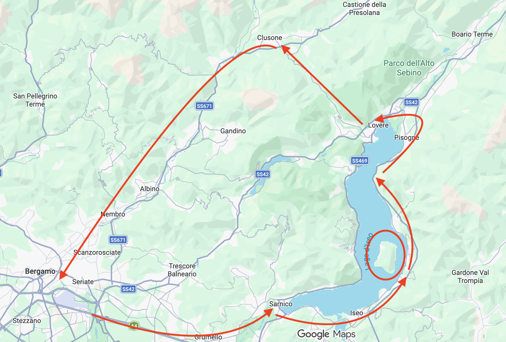
First of all, it is important to bear in mind that, while Lake Iseo is smaller than other lakes in northern Italy, it still is some 25km long by 5km of width, so it is a significant body of water.
If you are planning to visit as a day trip, it is, thus, advisable to be strategic about which spots to visit along the lake’s shores.
In this regard, my choice is clear: go to Sulzano to hop across the water from there to Monteisola, the large island in middle (actually a bit closer to the eastern shore) of the lake.
From there I drove along the eastern shore of the lake up to its head, to then turn slightly west to Lovere and then take the slightly longest but more panoramic way back to Bergamo across the mountains
Visiting Monteisola on Lake Iseo
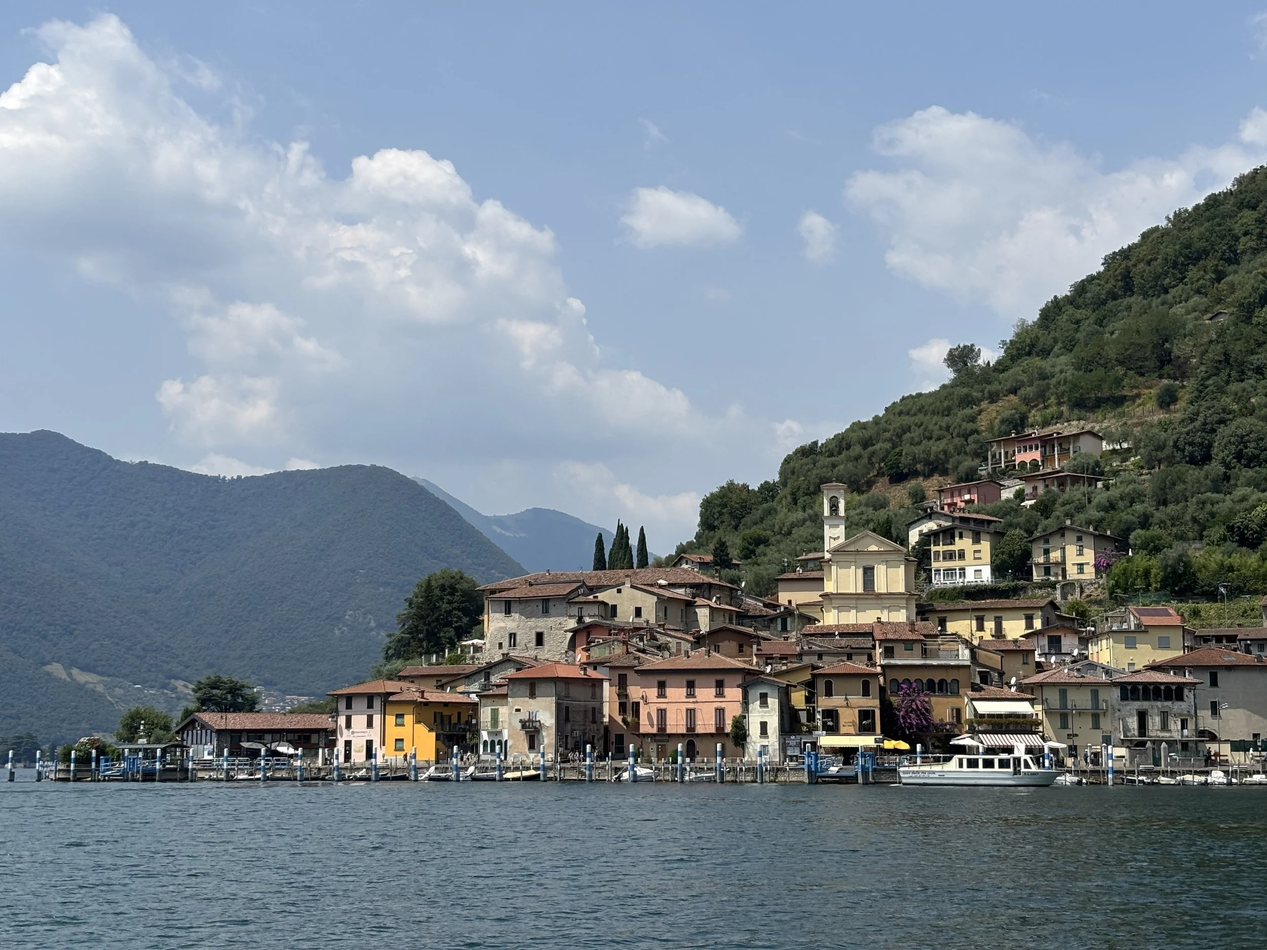
Why if I had to pick up one spot ot. visit in Lake Iseo it would be Monteisola?
First of all because it is a beautiful spot. The island is close enough to the eastern shore that from Sulzano you can make out the contours of the picturesque little lakeside village of Peschiera Maraglio. The place does not disappoint once you come in to land at its quay. This would fit perfectly the sort of setting many have in mind when they imagine the so-called “Italian dolcevita”, just without the crowds you get in places like Portofino or Cinque Terre.
Now, a word of caution: I did visit on a sunny day in the middle of July. While I am sure it is still beautiful, the whole experience may be a bit different if you visit, let’s say, on a grey day in winter!
What’s more, visiting Monteisola gives you the opportunity to have the ferry experience. There are boats connecting Sulzano to the island every 15 minutes or so. The ticket costs about €5 return. It is a really short ride, no more than 5-10 minutes, but enough to get you a new perspective of the lake.
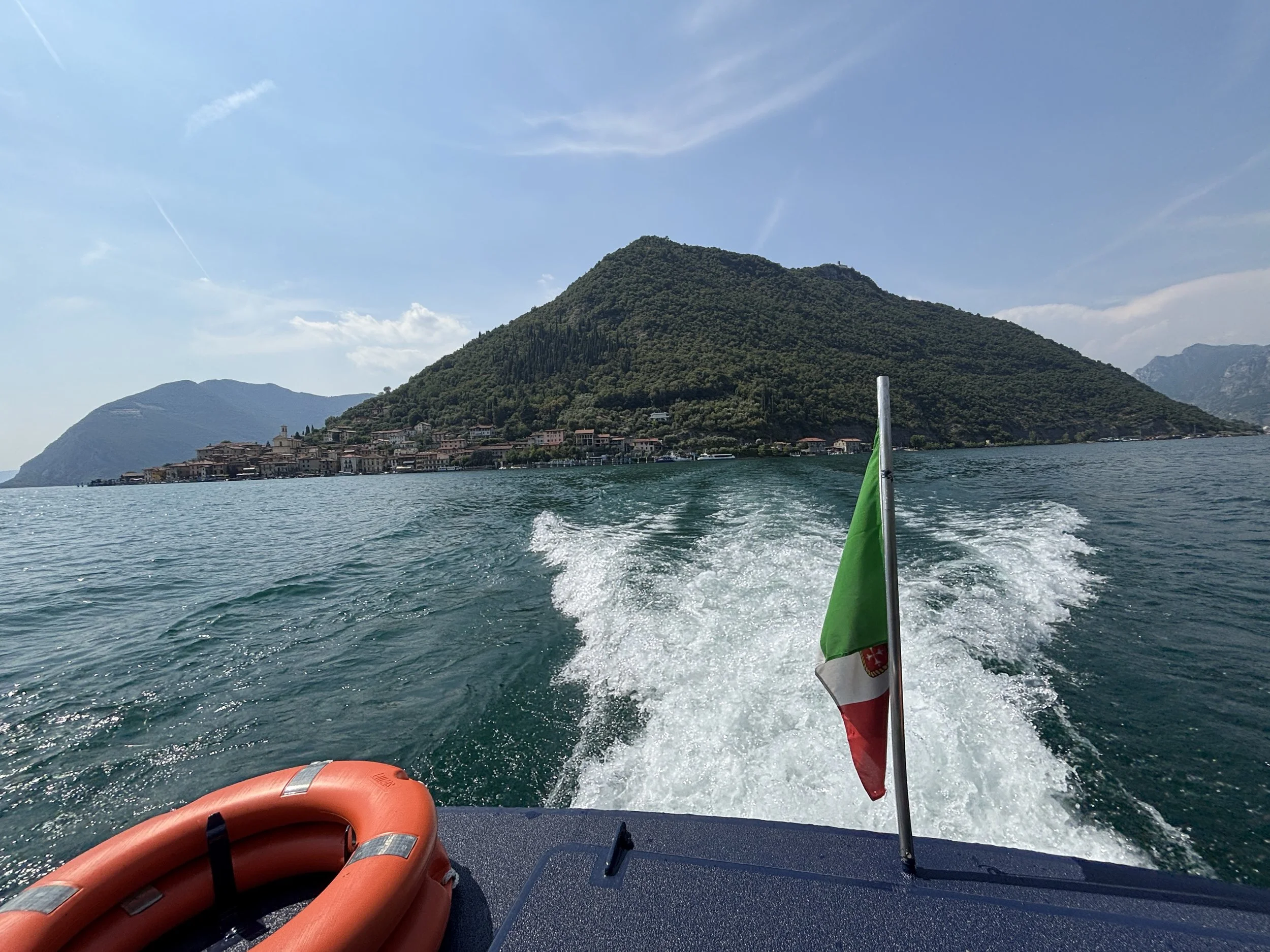
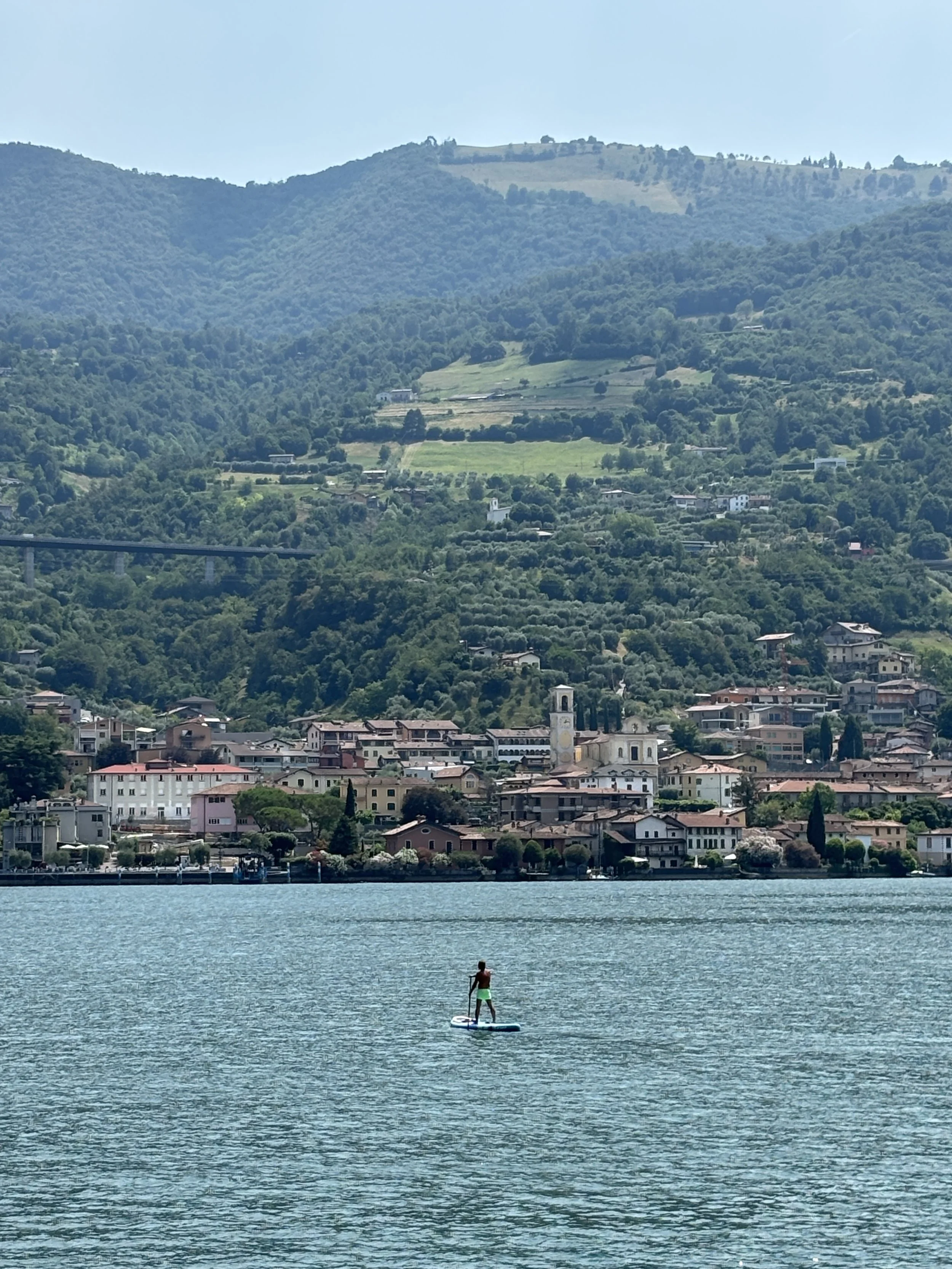
As mentioned earlier, Monteisola is the largest lake island in Europe. It has a perimeter of around 9 km and its center is a peak of some 600m of height with a monastery at the top.
Bear in mind that no cars are allowed on Monteisola and the ferry carries only people. You can rent bikes on arrival, though.
What’s more, you don’t need to visit the whole island to get a nice experience. I would say, if you are short of time, you can simply stay around Peschiera, which has also quite a few nice bathing spots around, if the weather permits.
My initial plan was, actually, to take a small winding path that takes you all the way up to the monastery, from where it is possible to get the best views of all Lake Iseo. However, it was so hot on the day of my visit that I soon abandoned this plan and switched to the beach instead.
There are a handful of public lakeside recreational areas on the south side of the island, just 5 minutes walk west of Peschiera Maraglio following the lakeside boulevard.
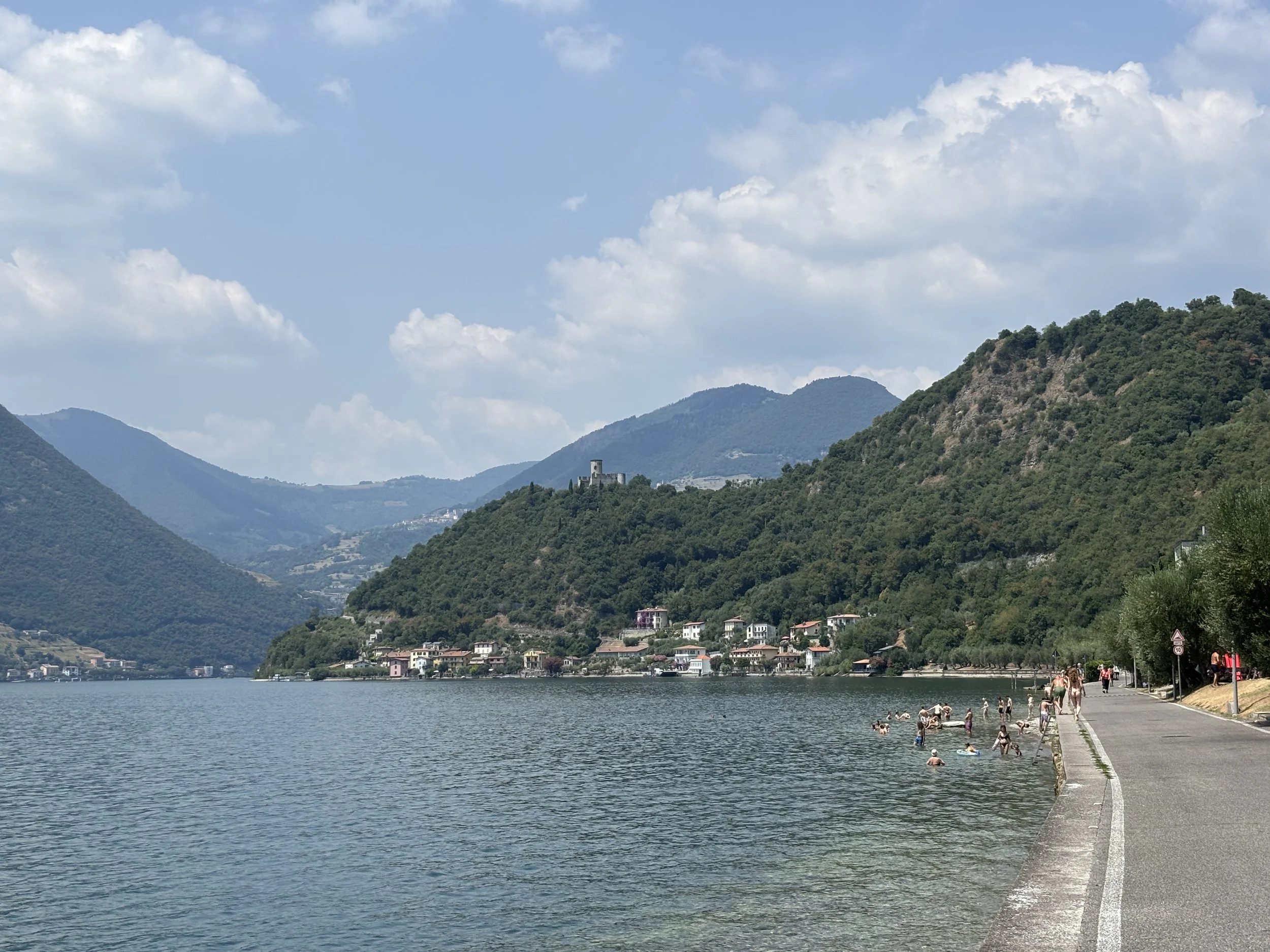
By the way, don’t expect large sandy beaches on Monteisola, the bathing spots on Lake Iseo tend to be more like relatively small openings between the rocks, with some pebbled open space where you can leave your stuff while you go for a plunge.
I mention it because, while I personally like this kind of beach, I am aware it is not for everyone!
I was surprised to find the water on Lake Iseo to be quite warm, but it was an exceptionally hot day in the middle of a heat wave when I visited, so it was possibly not representative of the usual experience.
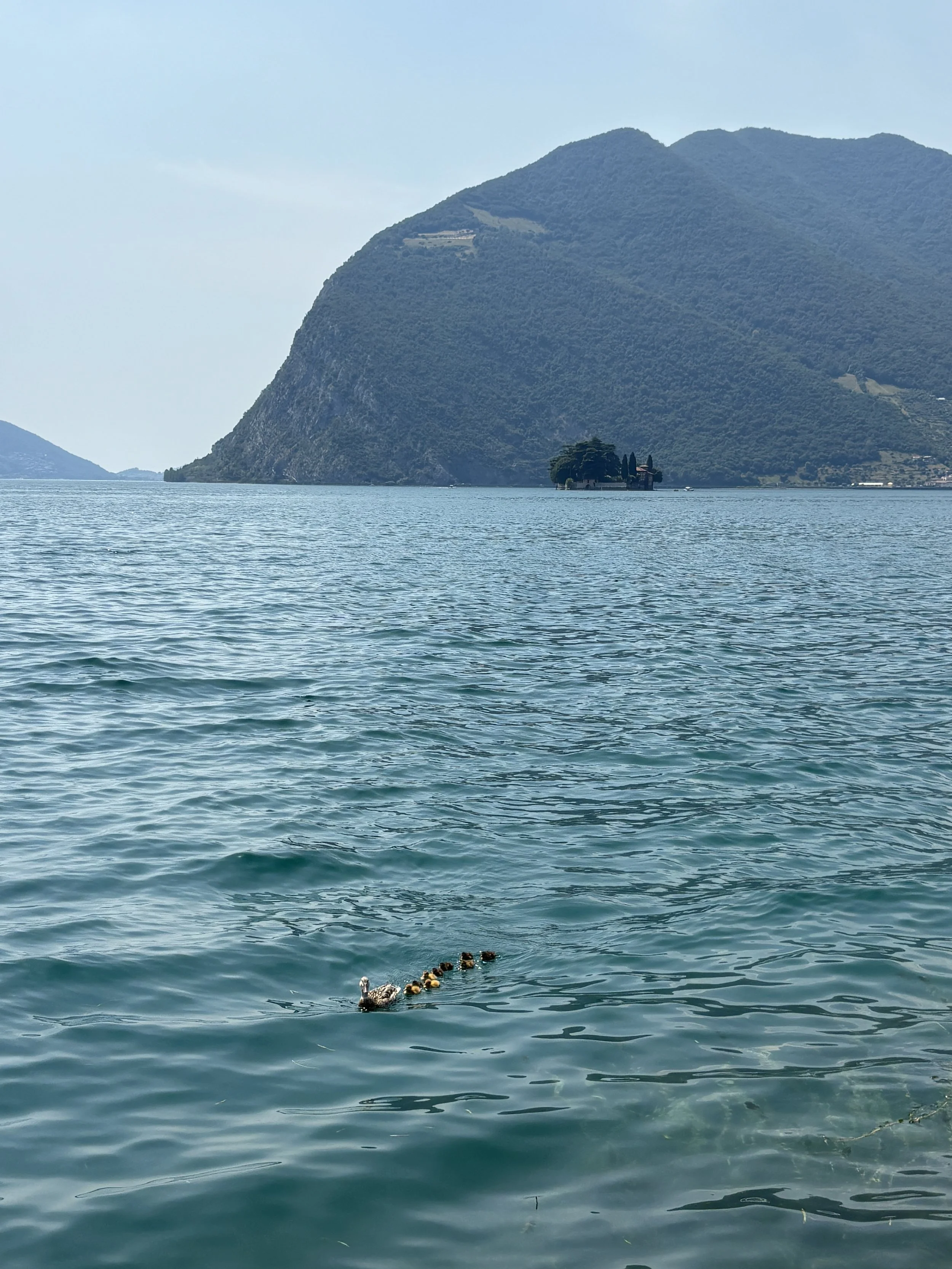
What I can say for sure is that water was pretty clean, transparent actually, and there were plenty of fish and even ducks (and ducklings!) swimming around.
For reference, these images are from the small beach some 300m to the west of Peschiera Maraglio, on the southern tip of the island. From this spot you can also see the Isola di San Paolo, a small islet which is the private property of the Beretta family, of gun-making fame.
The Christo 2016 installation on Lake Iseo
At this point is worth mentioning a rather unique art event that took place in this part of Lake Iseo in 2016, when the famous Bulgarian artist Christo build its “Floating Piers” installation, which consisted in the construction of several ephemeral piers covered in yellow fabric which, with a length of 3km total, connected Sulzano to Monteisola and the Isola di San Paolo.
Nothing is left of those piers, although it is possible to find some decorative elements along the lake’s shores that recall that one-off episode. You can more information and some images of how it looked like here.
Wandering around Peschiera Maraglio
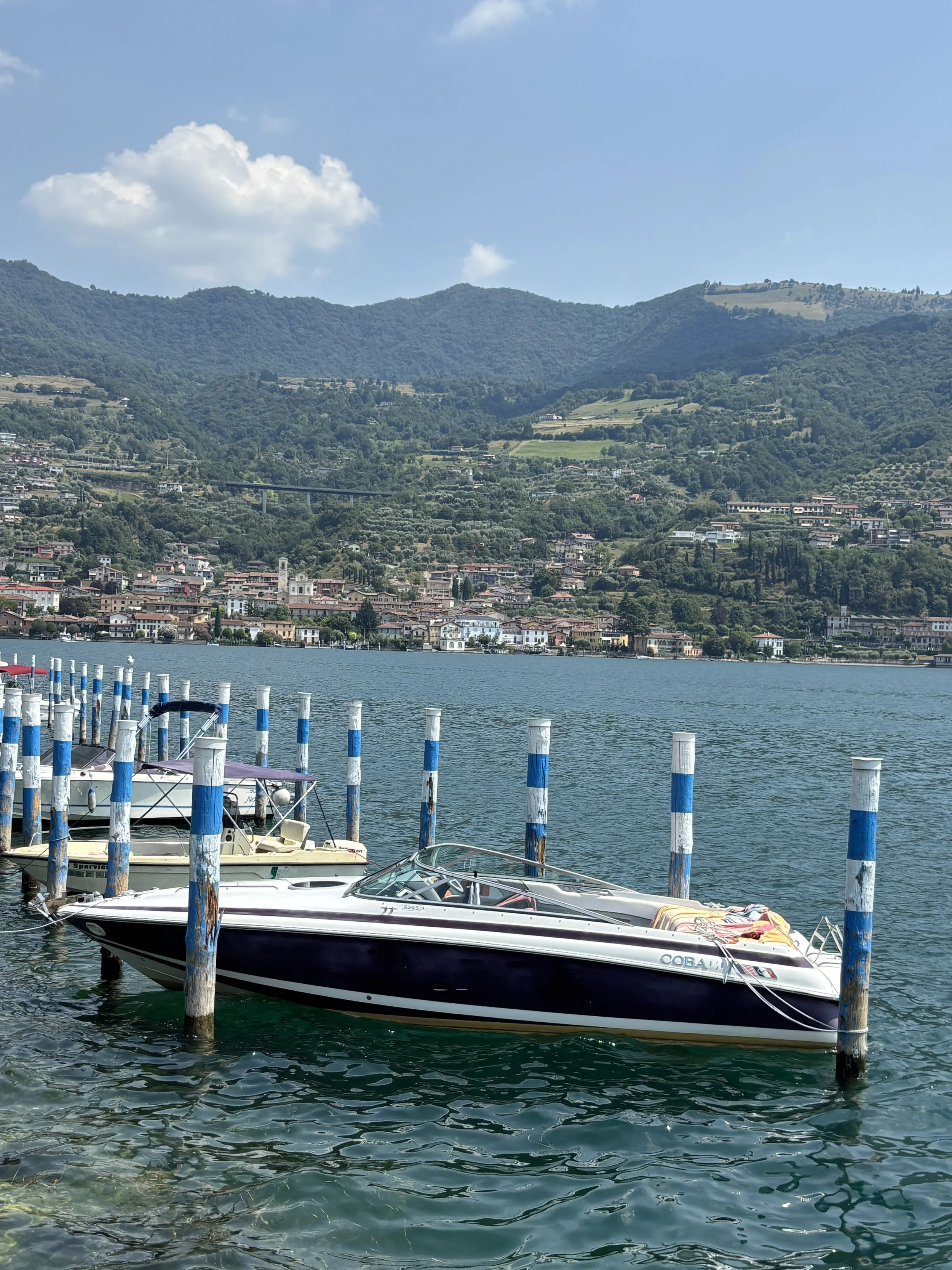
Besides the nature and the views, Peschiera Maraglio has a small urban nucleous that revolves around the quay.
It is here were most shops, bars and restaurants are, although there are also a handful of back streets climbing the lower parts of the hill and leading up to the village’s small church.
While this is obviously a tourist spot, it has preserved a modicum of authenticity.
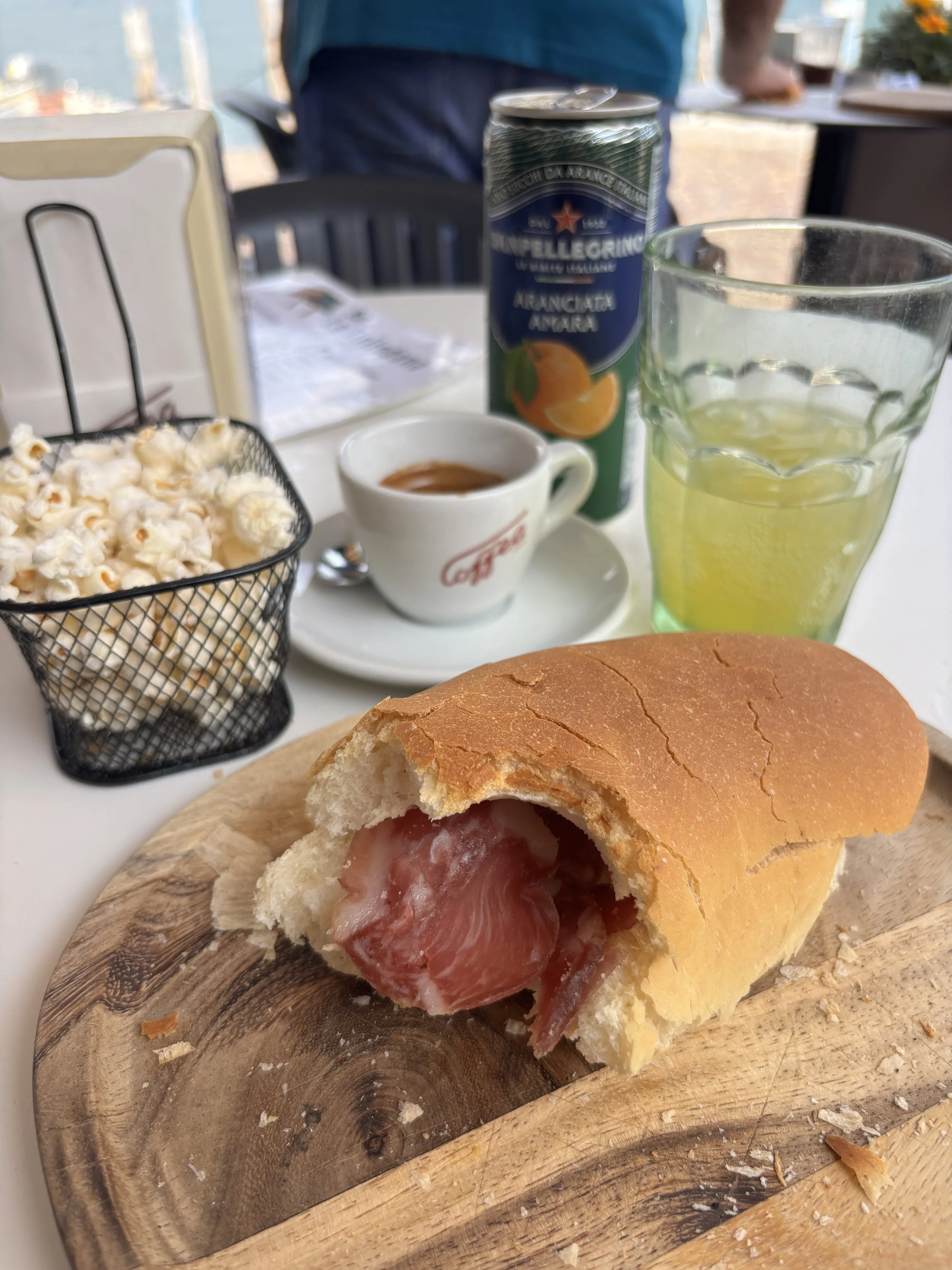
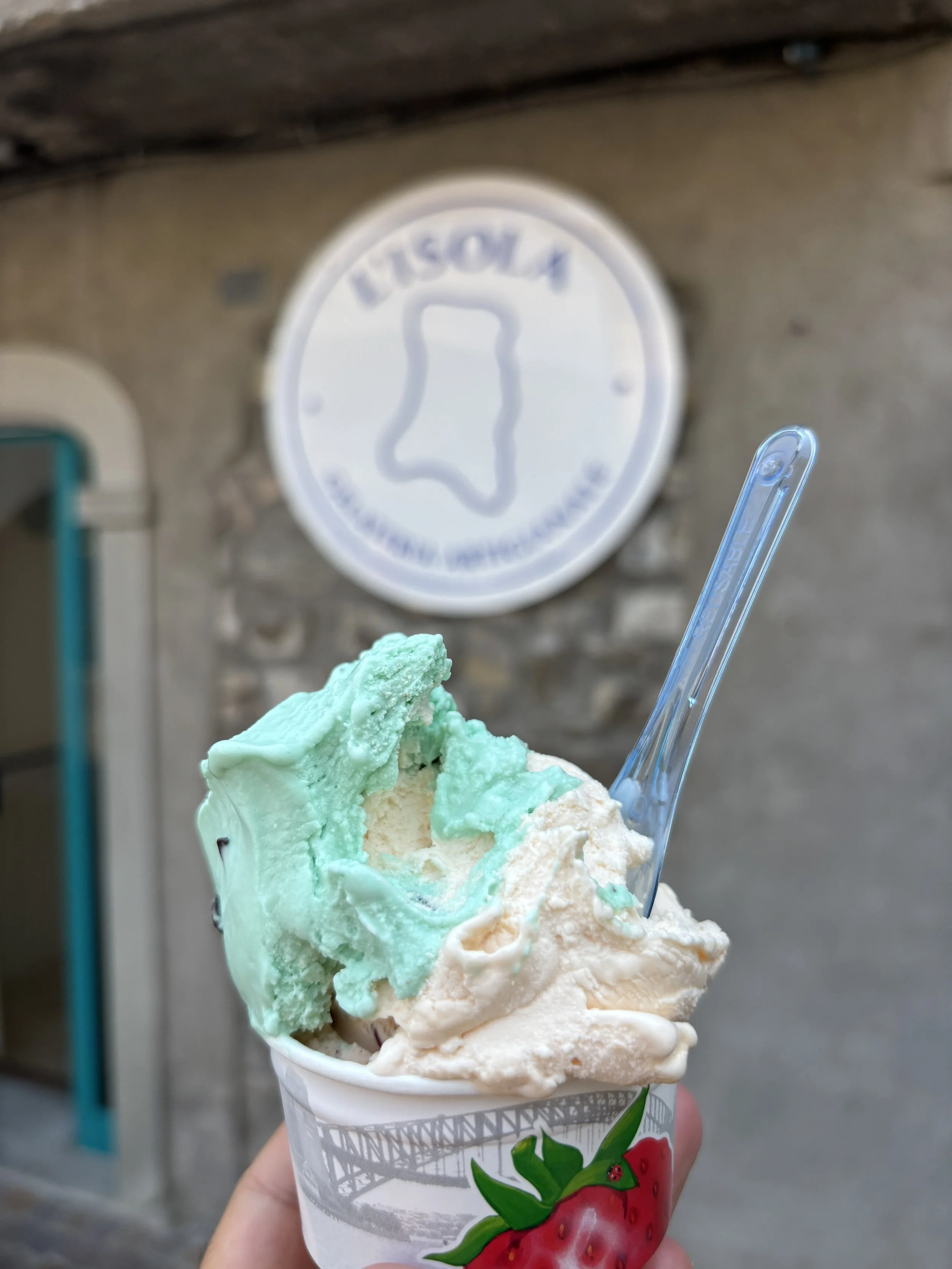
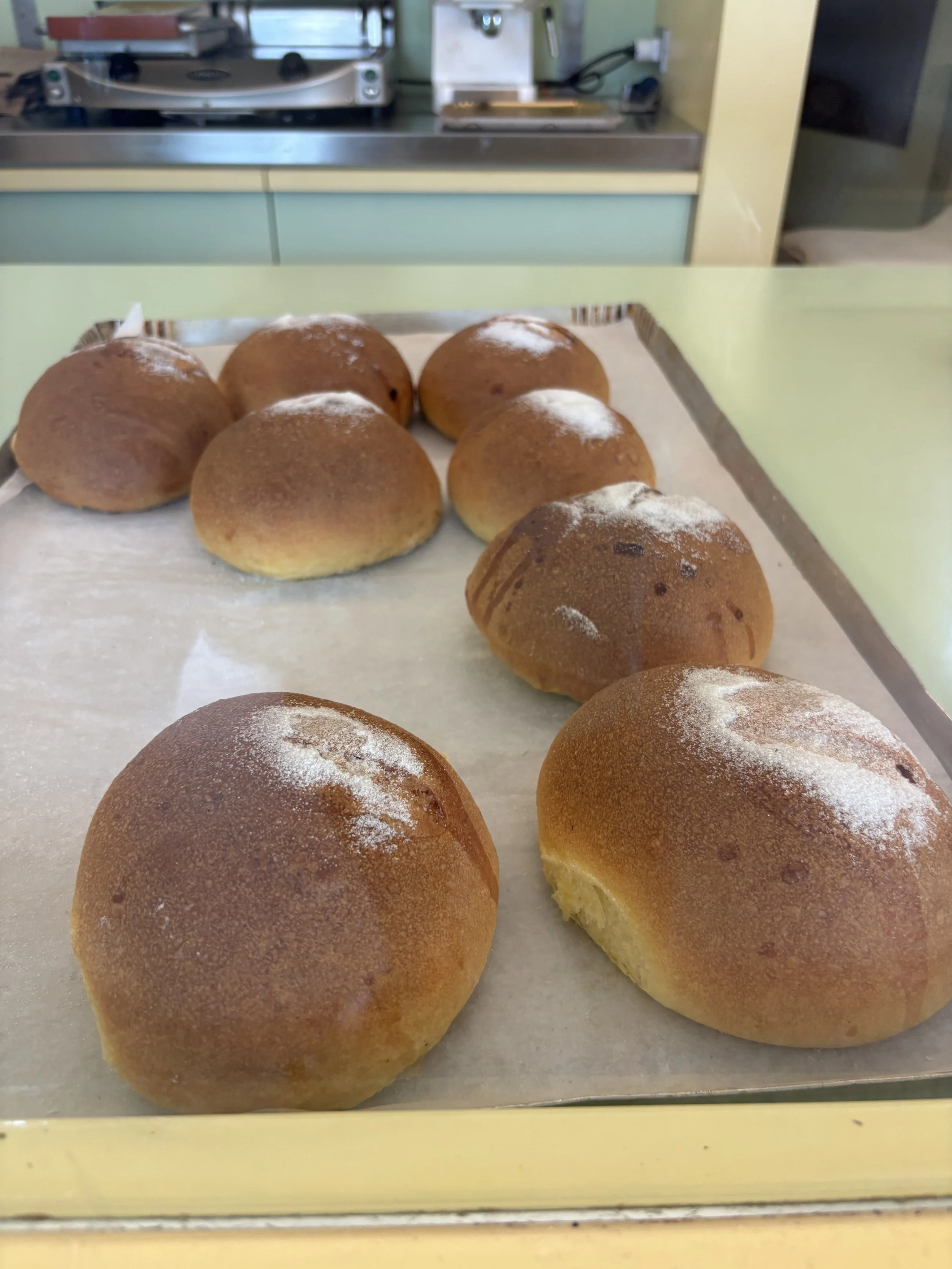
You can try, for example, a local speciality, the Salame di Monteisola, which is a type of salami that is smoked in a cellar through an artisan process. And you can also complement it with a nice artisan ice-cream and some pastries from the local bakery.
So, here are my recommendations of casual places to eat in Peschiera Maraglio (I didn’t go to any “formal” or upmarket restaurant although there a few of these places too, if this is your preference). The options I mention here are all found within 20 meters of each other and can be combined for an on-the-go type of meal:
La Tindirlana, for a bite of Salame di Monteisola
L’Isola, for a scoop of tasty gelato
Forneria Ziliani, for some local tasty buns
Other spots to bathe in Lake Iseo
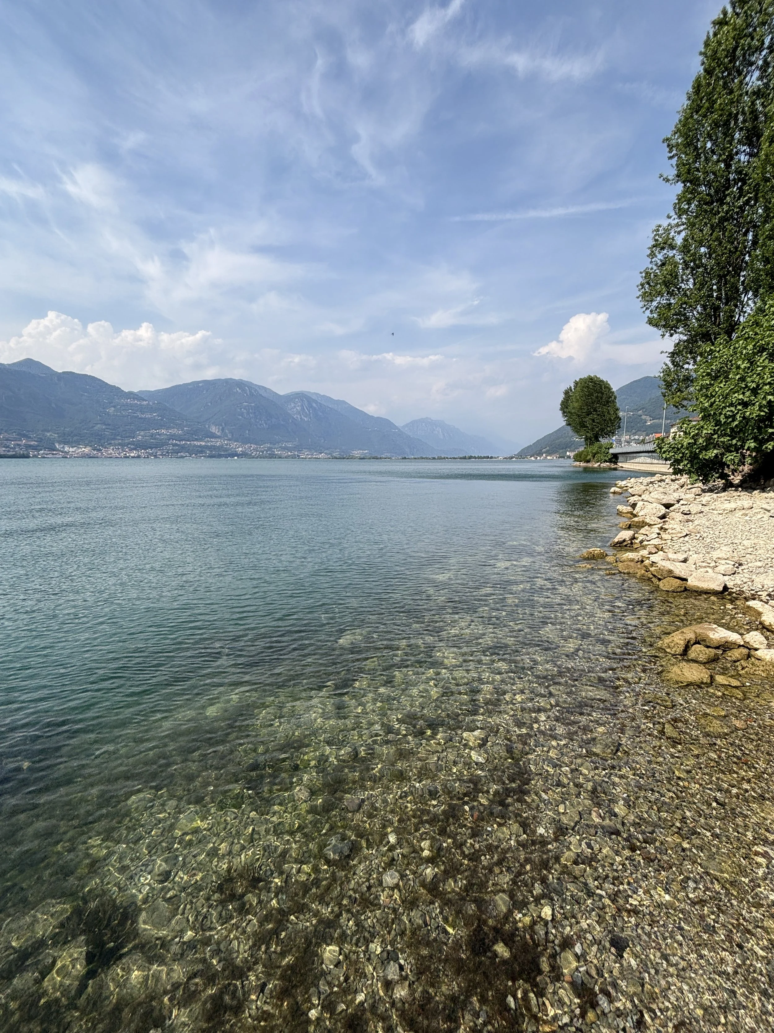
There is no shortage of bathing places on Lake Iseo. The only issue is finding places that are easily accessible from the road and with parking space at hand.
Signage on Italian roads is not great, so be extra attentive, because there are long stretches of road on the eastern side of Lake Iseo which are fully tunnelled, which means that if you take the wrong exit you may end up tens of kilometres from the intended destination.
There are several bathing spots on the mainland around Sulzano, for example, particularly on the south side of the town, and also near Marone and Pisogne, a bit further up the lake from Sulzano.
I personally went for another swim in the vicinity of Toline, which is a hamlet just to the south of Pisogne. There you will find a small beach area just south of the urban centre with some parking space nearby. As in Monteisola, the beach here is made of pebbles, so better carry some type of sandals that make it easier to get to water!
More interesting places around Lake Iseo: Lovere
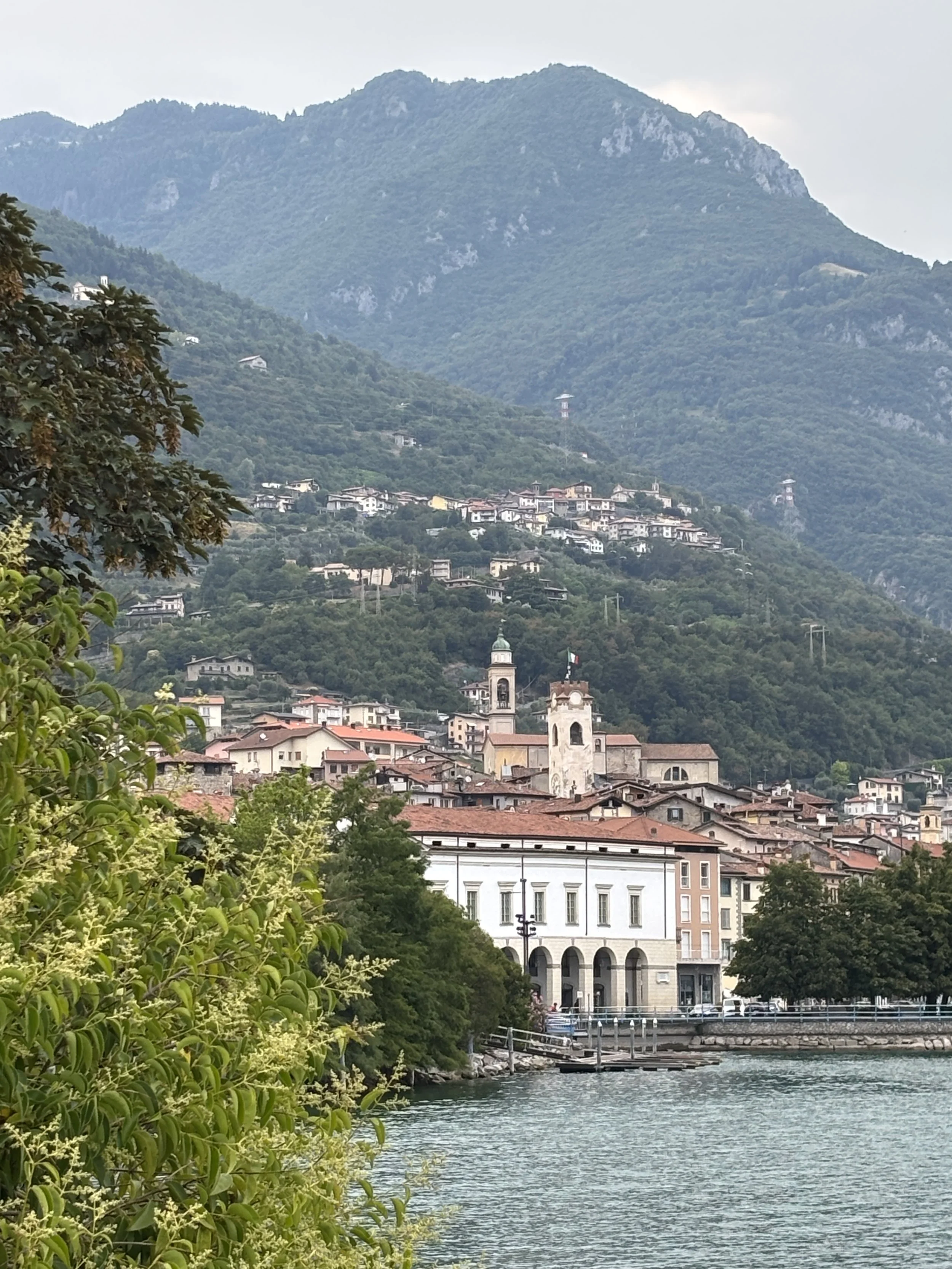
The lakeside town of Lovere is on the northwestern side of Lake Iseo.
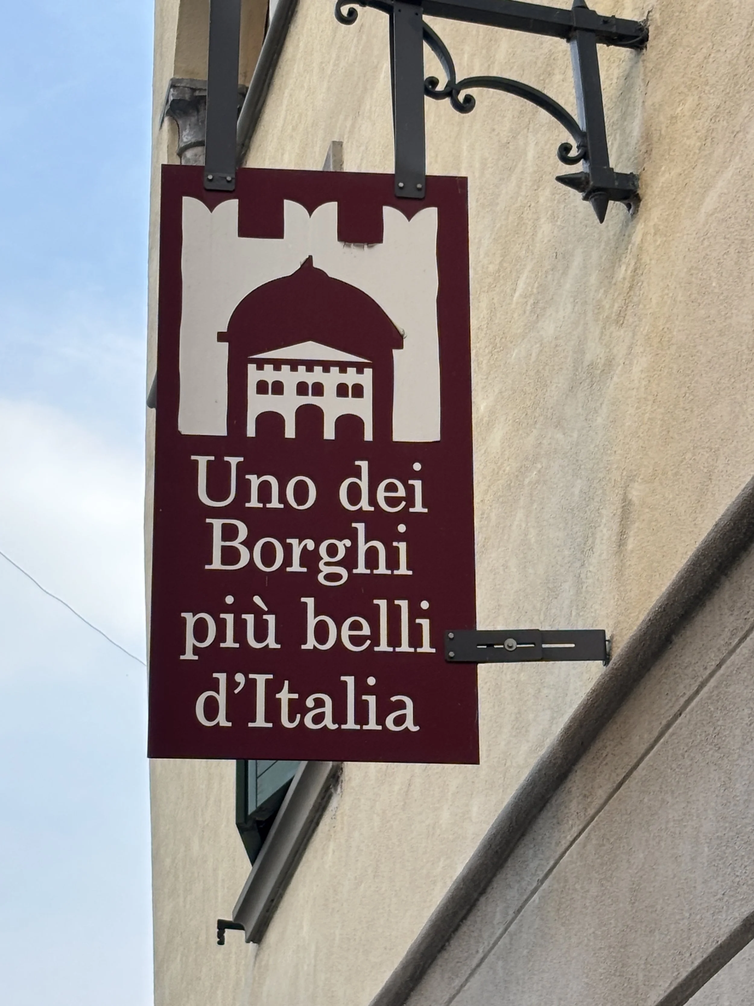
Lovere is included in the network of the most beautiful villages of Italy (“I borghi piu belli d’Italia”), which I found to be perhaps a bit of an overstatement. This is not because Lovere is lacking in charms, but because in a country like Italy, in which competition on the beauty front is fierce, this label raises perhaps some irrational expectations.
The best views of Lovere are actually from outside the village proper.
The marina area just to the south of downtown, offers a view of the village, silhouetted against the background of the lake and the nearby mountains.
Even if parts of the town are now relatively modernly built, Lovere is actually pretty old and it still keeps some urban elements that date back to the Middle Ages.
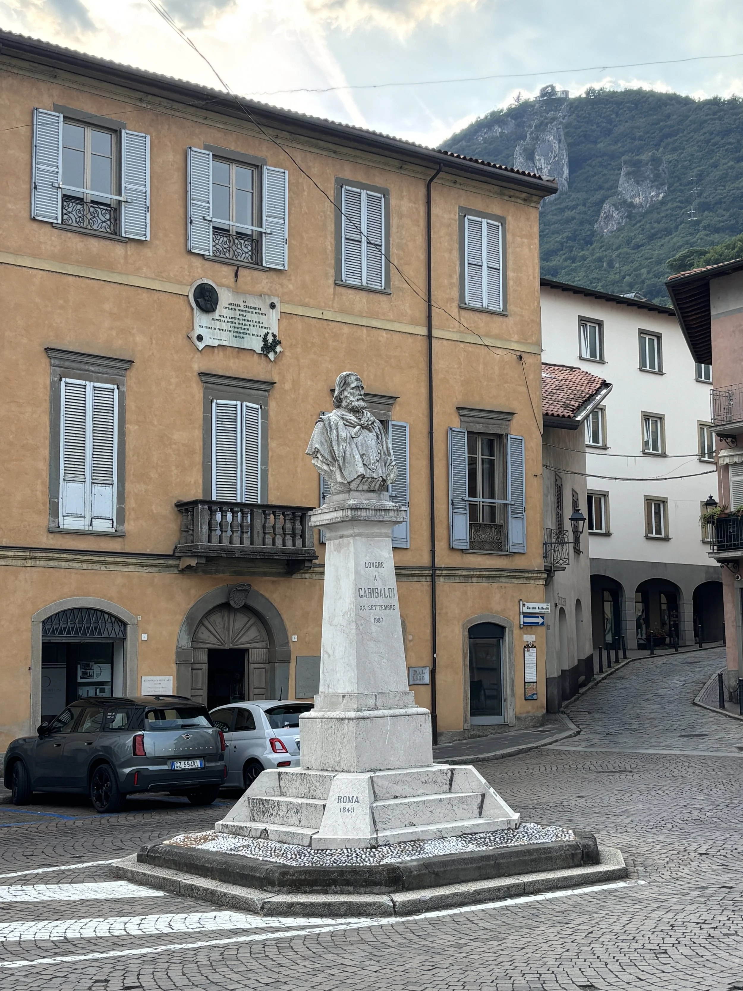
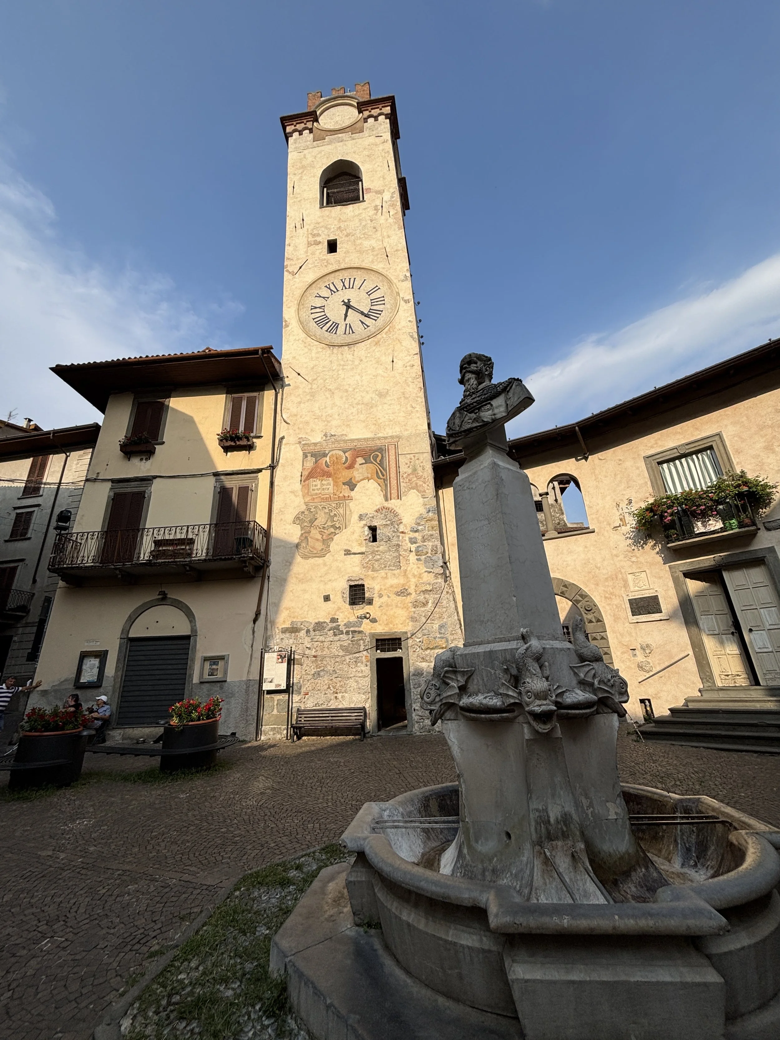
If you were to visit just one place in Lovere, go to Piazza Vittorio Emanuele I (depicted below), which is really picturesque and has a bust of the said king at its center.
By the way, just like Bergamo, Lovere has its own art and history museum set up in the late 18th C. by a local aristocrat, Count Luigi de Tadini. It hosts art and archaeology collections as well as a section about the Italian Risorgimento. I didn’t have time to visit it, but I thought it worth mentioning!
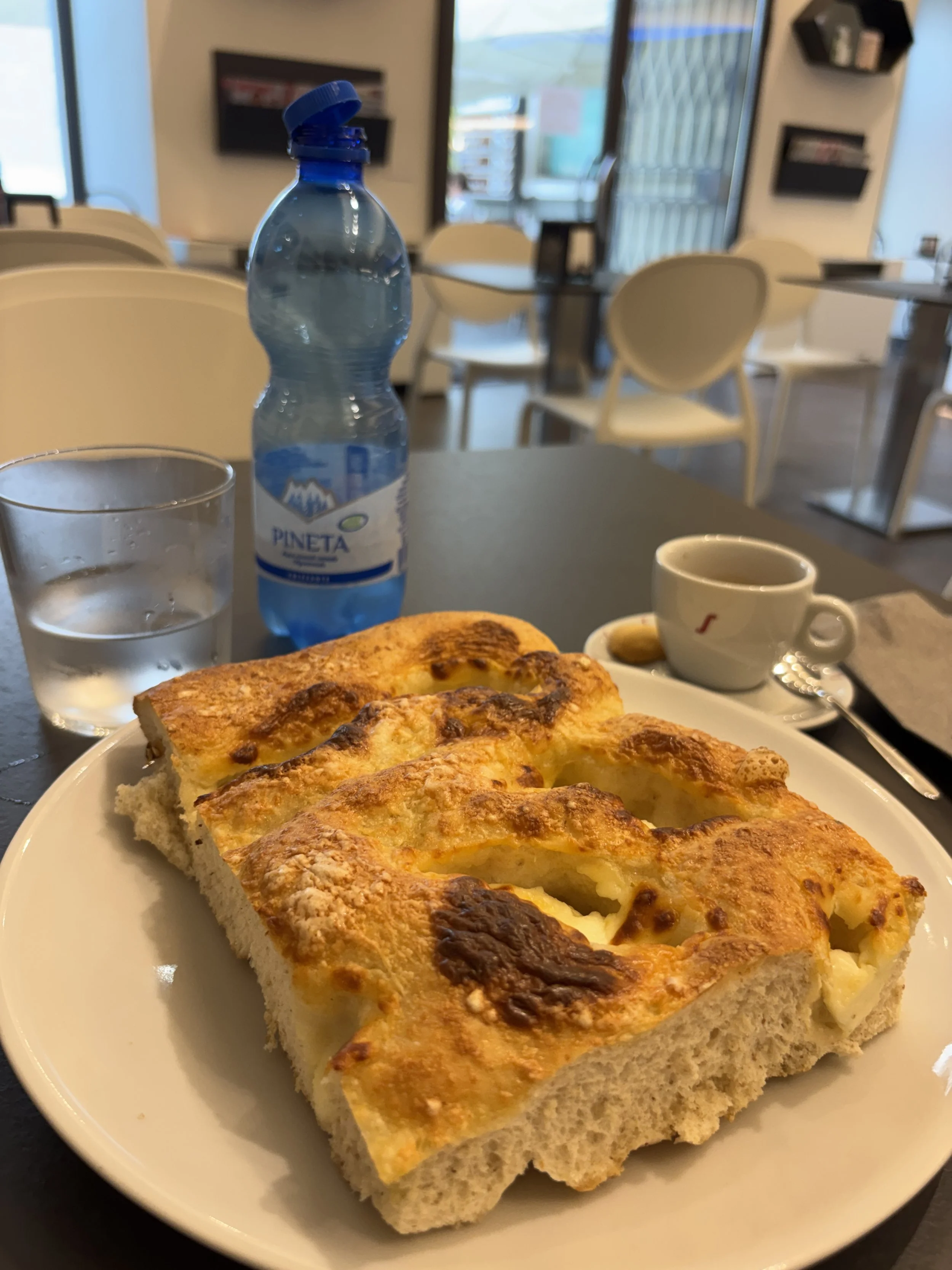
A place to have coffee in Lovere
Minuscoli Lovere
Via Tadini, 28, 24065 Lovere
This is a rather modern place, so, don’t expect the classical, old-style Italian café which may have been around at the time of the Risorgimento.
However, I quite liked it, because it had nice, clean, spacious and air conditioned premises, it offered a great choice of pastries.
It is located on the main lakeside road, on a small square just by the quais, so not in the very center of the historical town, but convenient if you have left the car in one of the parking lots by the lake.
I think that what this place lacks in history and authenticity more than makes it up in the choices available and nice and efficient service.
Bonus tip: visiting Clusone, in the Val Seriana
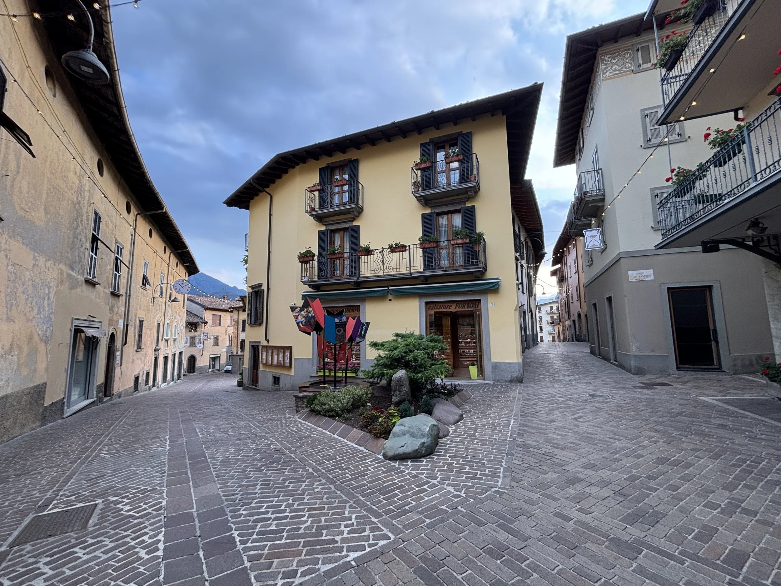
If driving back to Bergamo from Lake Iseo, you may consider, instead of returning via Sarnico and the main motorway, to take a bit of a detour through the mountains of the Val Seriana.
This route allows you to see this part of the Alpine foothills and the town of Clusone, which, like Lovere, is also included in the network of Italy’s most beautiful villages.
Clusone has also a medieval center with a few rather unique things to see
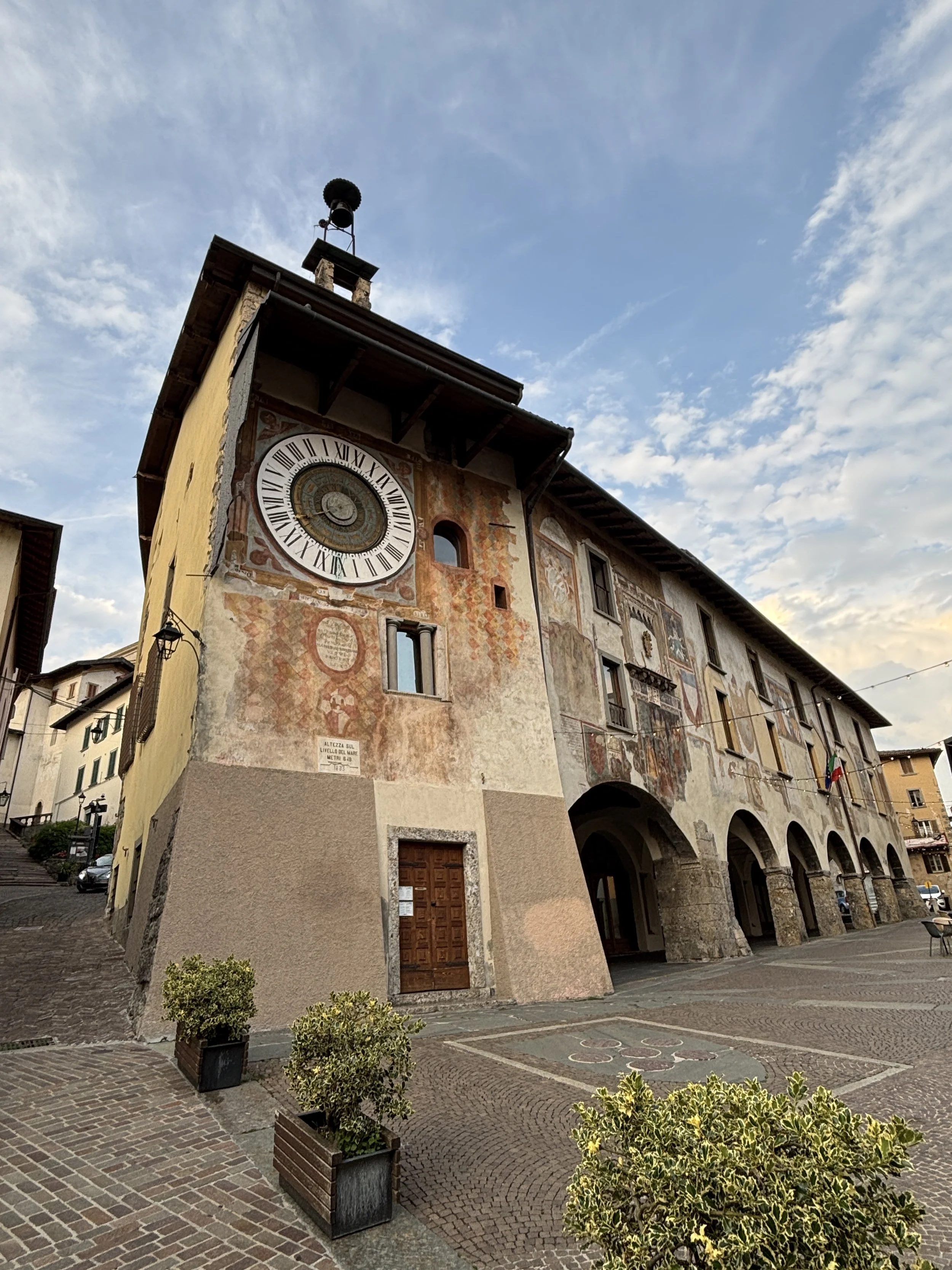
An astronomical clock (Fanzago clock) on the Palazzo Comunale, this is quite a unique piece of craftmanship. Designed by a local mathematician called Pietro Fanzago. Since 1583, Clusone’s astronomical clock has marked hour, day, month, the moon phase, and zodiac signs simultaneously.
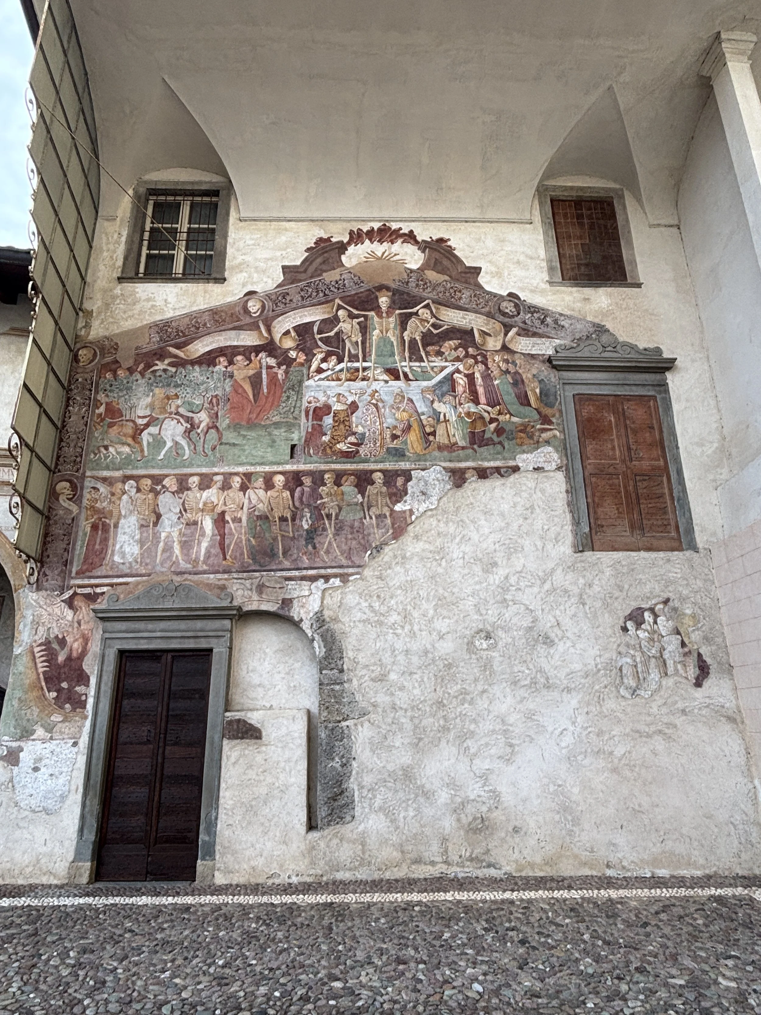
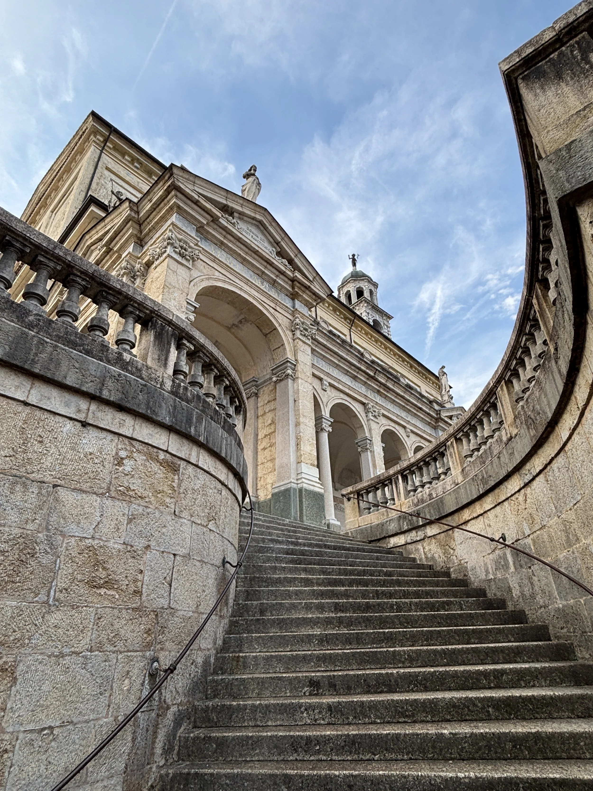
The "Danza Macabra" fresco, painted in 1485 on the Oratorio dei Disciplini di San Bernardino, which is essentially a “memnto mori”, a reminder of mortality and Death as a great equalizer. It is located next to the Basilica di Santa Maria Assunta e San Giovanni Battista, which is a rather impressive 17th C. church built at the highest point in downtown Clusone.
The Chiesa di Santa Anna, built in late 15th C. and featuring some restored 16th C. frescoes on its facade.
The Monte Polenta (suspected location of a lost castle). This hill just outside Clusone takes its name from the fact that its shape reminds of the traditional presentation of polenta, the northern Italian dish. There may have been some sort of fortification here in the early middle ages, but, apparently, archaeological research has been inconclusive. What is sure is that from its top you will get some of the best views of Clusone and the surrounding countryside.
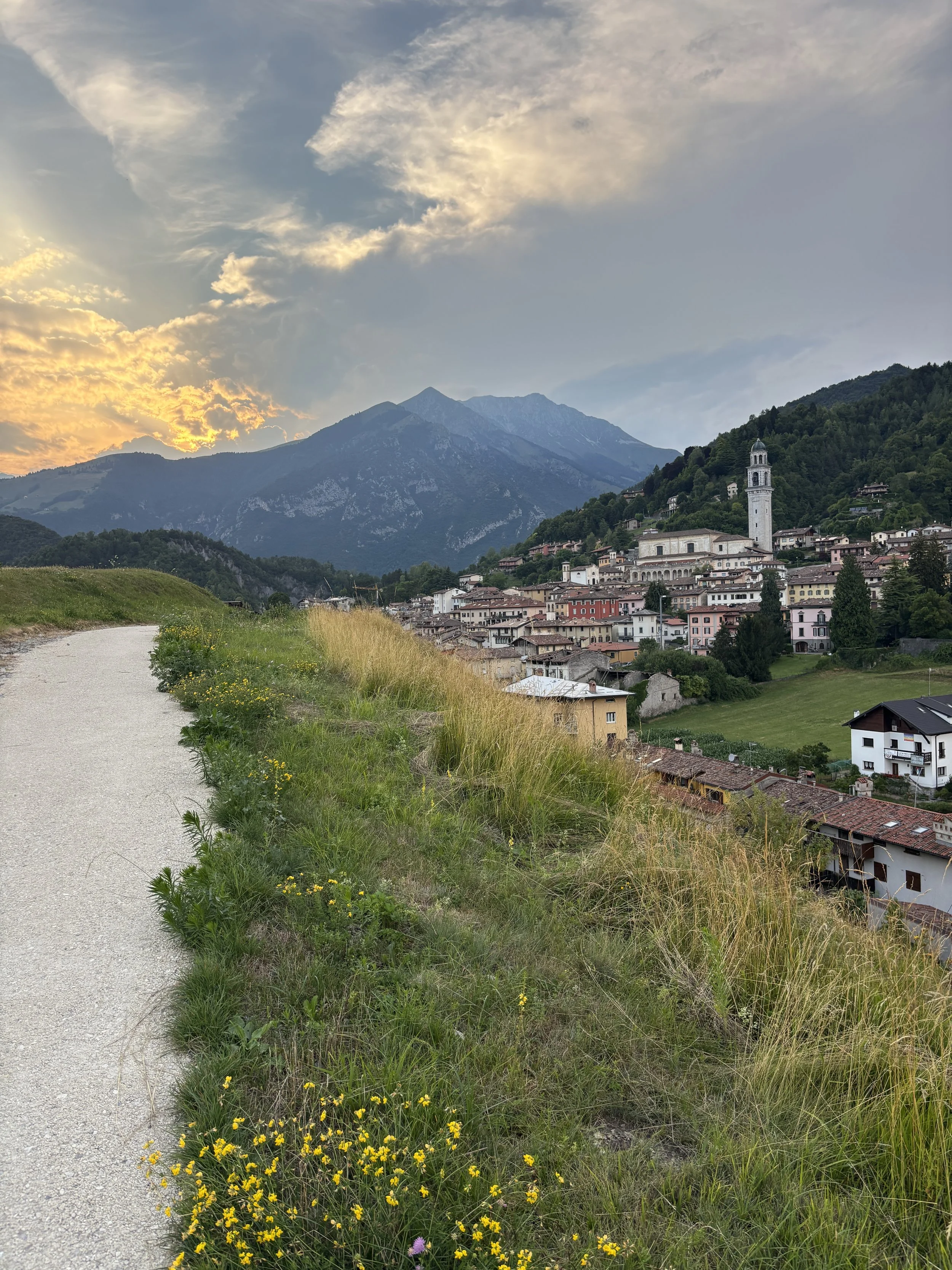
There are also a fair number of cafés, restaurants and shops in Clusone, unfortunately, I am not able to recommend any, because mine was a rather quick visit, a literal pit stop, in the evening.
From Clusone it is around 37 km by car down the Val Seriana to Bergamo.
If you are travelling around Italy, you may find the following posts of interest too!
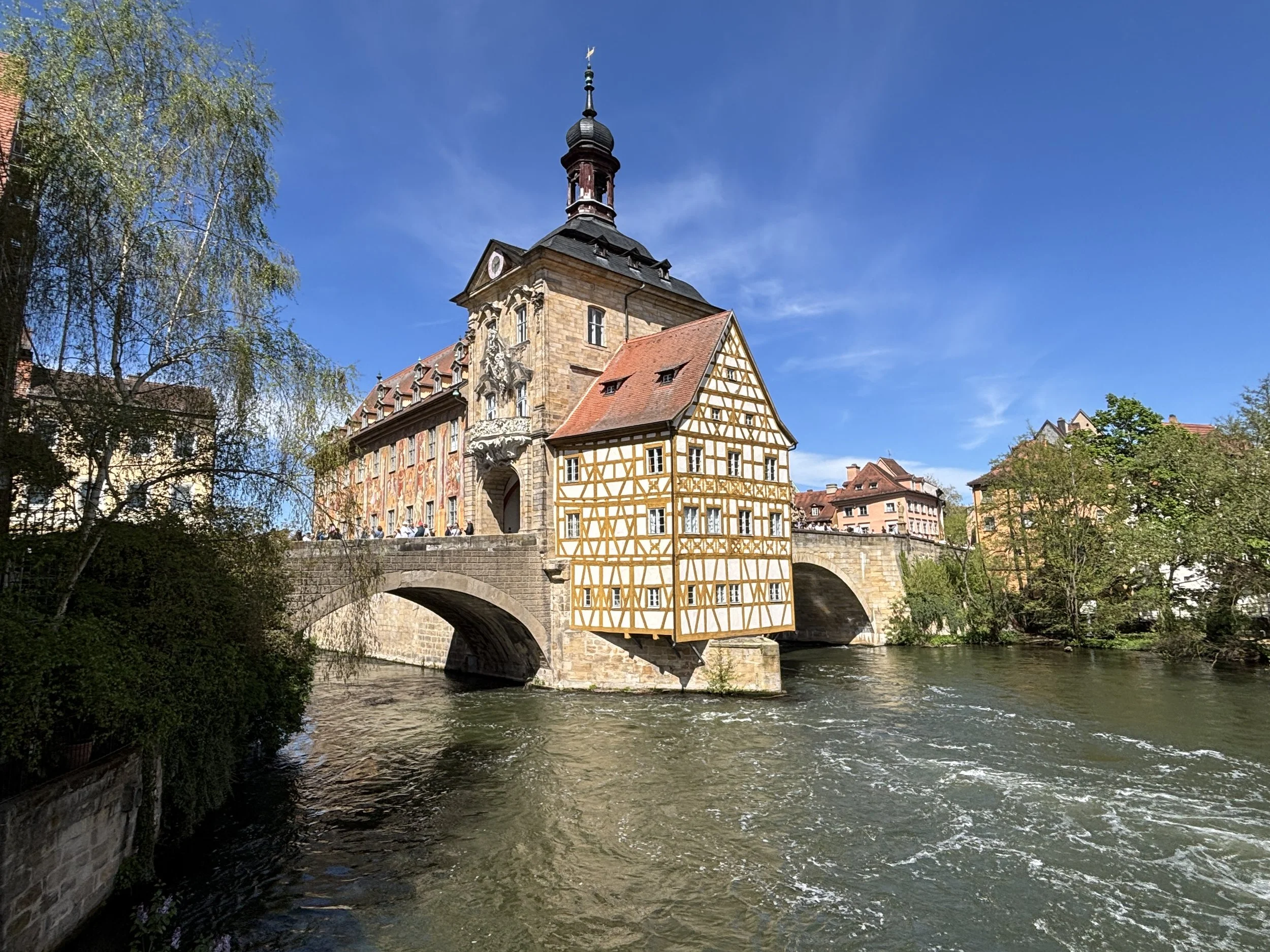
Top things to see and do in Franconia (I): a tour of Bamberg
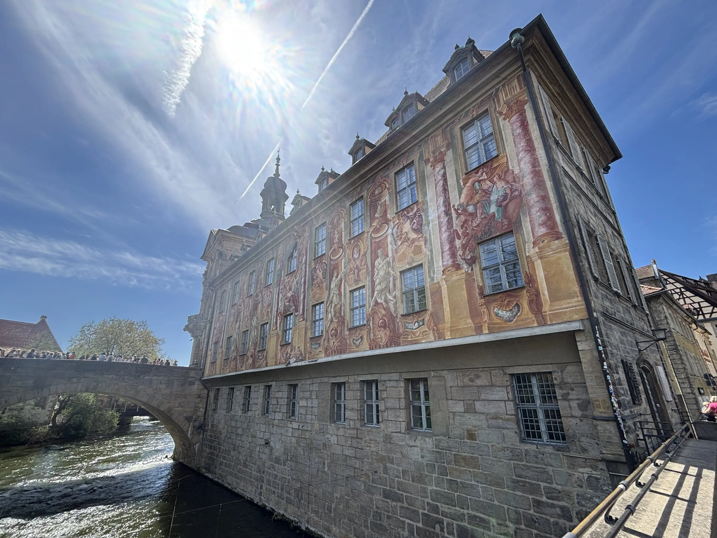
If you are looking for a Germany of charming fairy tale towns, almost intact medieval heritage, artisan beer and bratwürst, look no further than Franconia.
A Russian doll of cultural identities, local pride rules strong in Franconia (“Franken” in German), which is a historical region of northern Bavaria, itself, a former Kingdom and one of the parts of Germany that has most fiercely preserved its own character and distinct identity.
Culturally, it is equally varied: part of it is wine country, while other areas lean firmly towards beer; and while Bavaria is predominantly Catholic, Franconia contains Protestant enclaves, such as the city of Fürth.
This is perhaps due to the fact that, like much of the German lands, historically, Franconia was a complex patchwork of sovereignties, with different rulers sometimes having overlapping claims to parts of the land. Among them, Nuremberg held a pre-eminent role, since it is the place where the Imperial Diet (of the so-called “Holy Roman Empire”). Franconia only became part of Bavaria in the early 19th century, when the whole area became one of Napoleon’s client states.
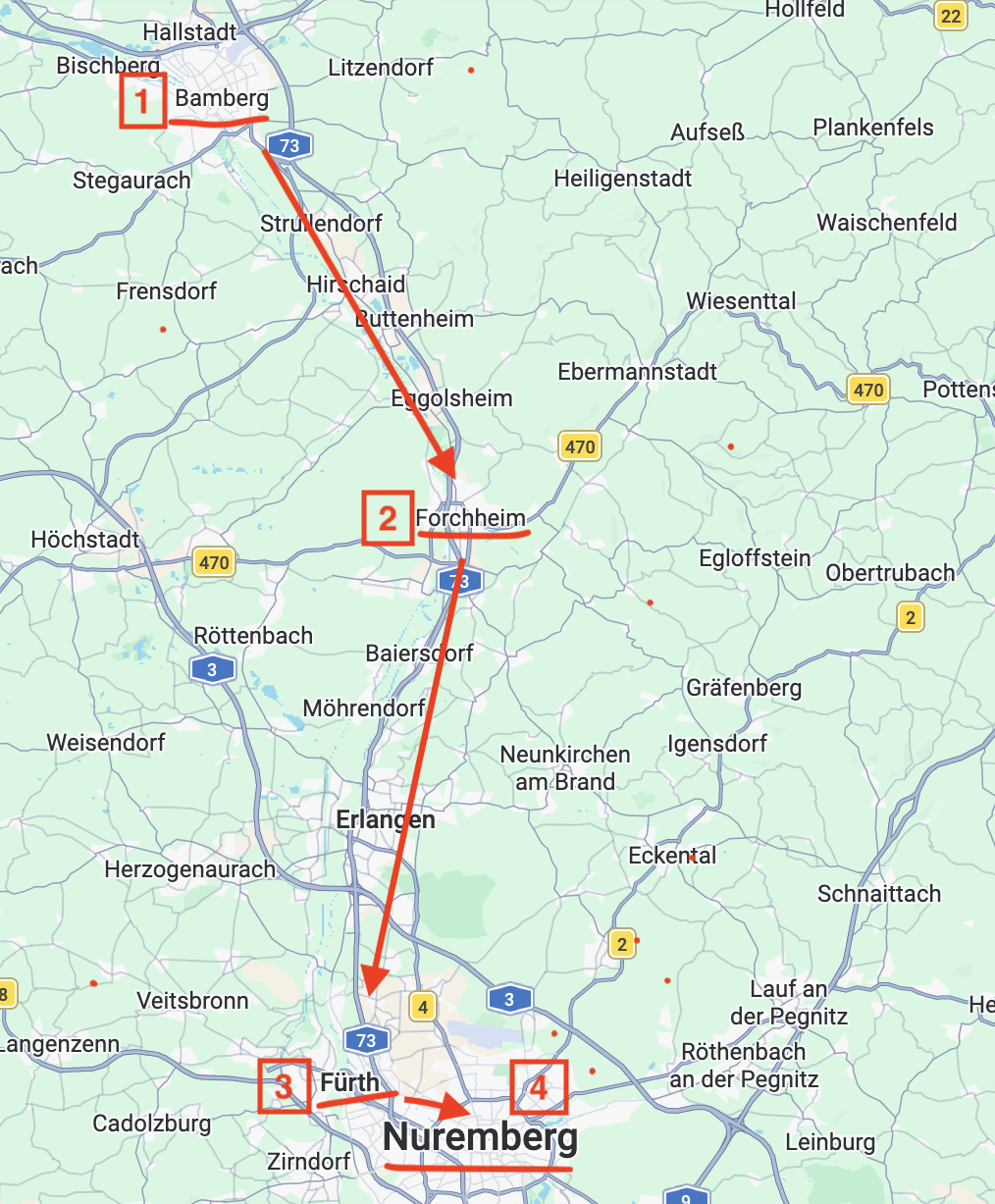
In fact, Franconia is large enough that it can be divided in three large areas: Upper Franconia (Oberfranken), Middle Franconia (Mittelfranken) and Lower Franconia (Unterfranken), although this series of posts will cover only a relatively small central section of it, starting in Bamberg in the north and ending in Nuremberg at the southern end of my itinerary.
What’s more, unlike in other itineraries that I have featured on this site, this time my entire journey was done by train, since all four Franconian cities that I had the chance to visit (Bamberg, Forchheim, Fürth and Nuremberg) sit neatly in a straight line. This was, I think, a pretty efficient (and sustainable!) way to explore this region.
So, this post is the first of a series of four installments in which I will share my impressions of this region and some tips about what to do and what to see when visiting Franconia.
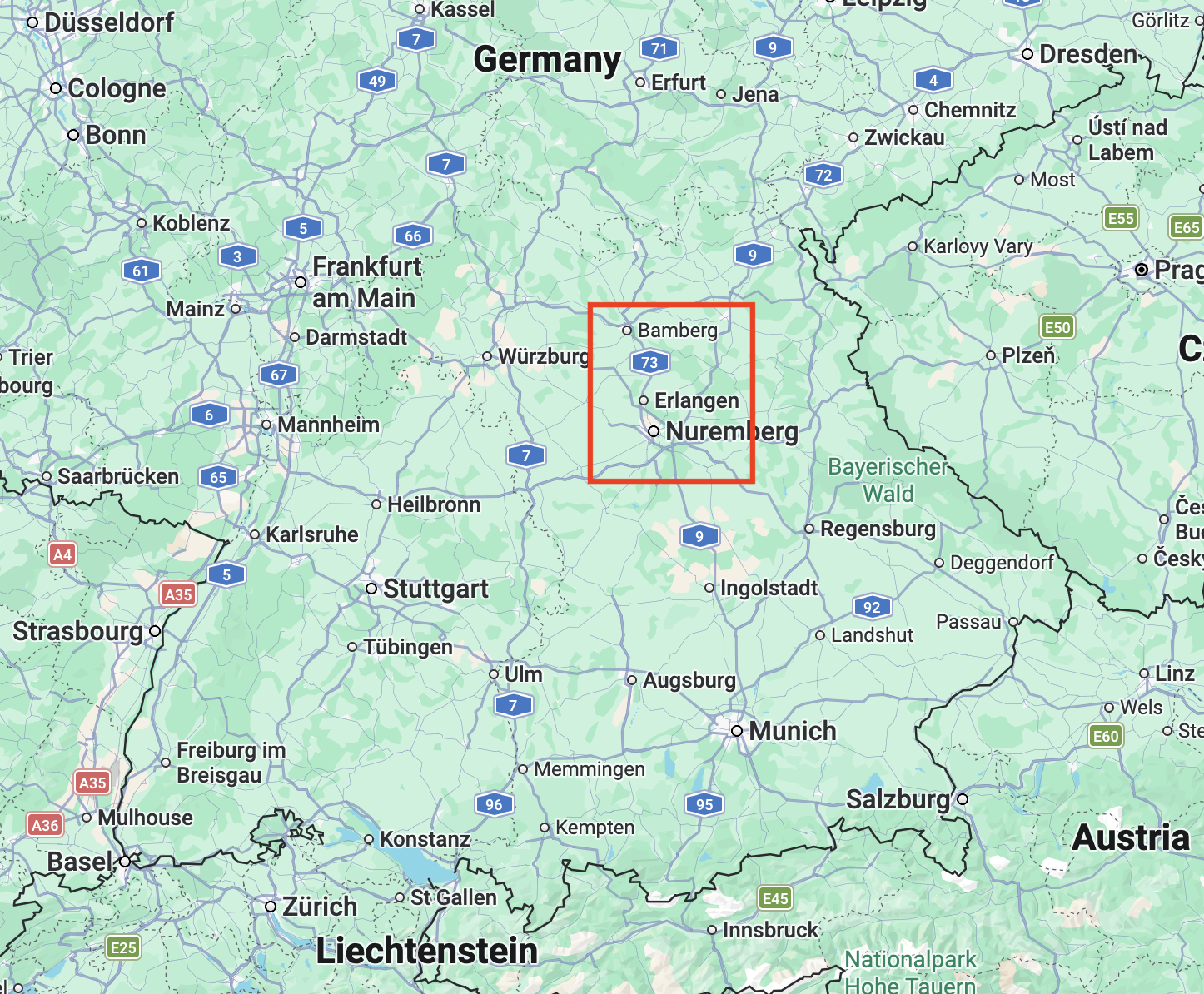
My itinerary started in Berlin, from where I traveled by train to Bamberg and then moved continued moving south always by train, all the way to Nuremberg, the largest city of the lot, by far.
This post may contain affiliate links. If you book or buy something through them, I earn a small commission, at no extra cost to you. It's one of the ways I keep Places of Charm going. Thank you for your support.
I would like to thank also Franken Tourismus for facilitating this journey through Franconia and the visit to Bamberg with excellent local guide Sabine. All opinions are my own.
Half a day in Bamberg: what to do and what to see
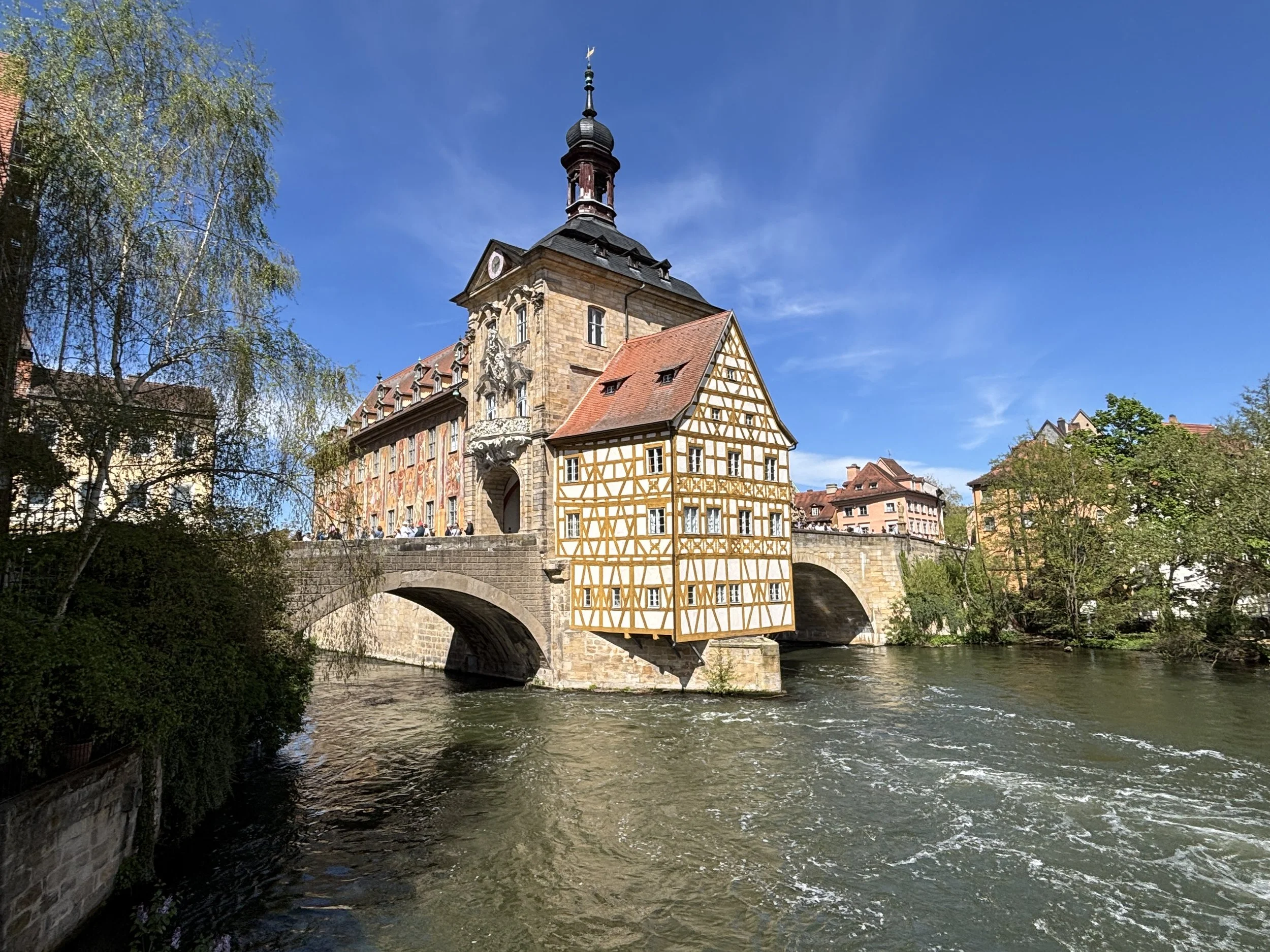
Bamberg is one of the jewels, not just of Franconia, but of Bavaria as well. Besides being a town of historical significance (it used to be the capital of a small principality ruled by a bishop), Bamberg was practically untouched by WW2, so most of what you see here is what a German pre-industrial city used to look like. Since 1993, Bamberg has been a UNESCO World Heritage Site.
What’s more, it’s geographical setting greatly enhances its historical attractiveness. First, there is the fact that, like Rome and several other cities of note, the city of Bamberg was built on seven hills. Then, there is the presence of the river Regnitz, a tributary of the Main, and therefore, the Rhein, which is navigable and accessible by river cruises (such as those operated by Viking Cruises, an old friend of this site!) and other operators. The river divides its waters between several canals when it passes through Bamberg’s old town, adding significantly to the aesthetics of the place.
I arrived at Bamberg’s main train station mid-morning and, after leaving my luggage at the station’s storage area (make sure you have €2 and €1 coins with you!) I headed on foot towards the old town, which is a mere 15-20 walk away.
I was to meet my guide for the day, Sabine, at Schlenkerla, Bamberg’s most iconic brewery (more on this place further down this article), for a quick but relatively intense walking tour of the city.
Bamberg’s “Little Venice”
When approaching Bamberg’s old town from the train station, you will first have to cross the Reignetz and its several canals. You will then be in an area popularly known as “Little Venice”, obviously because of its connection to water.
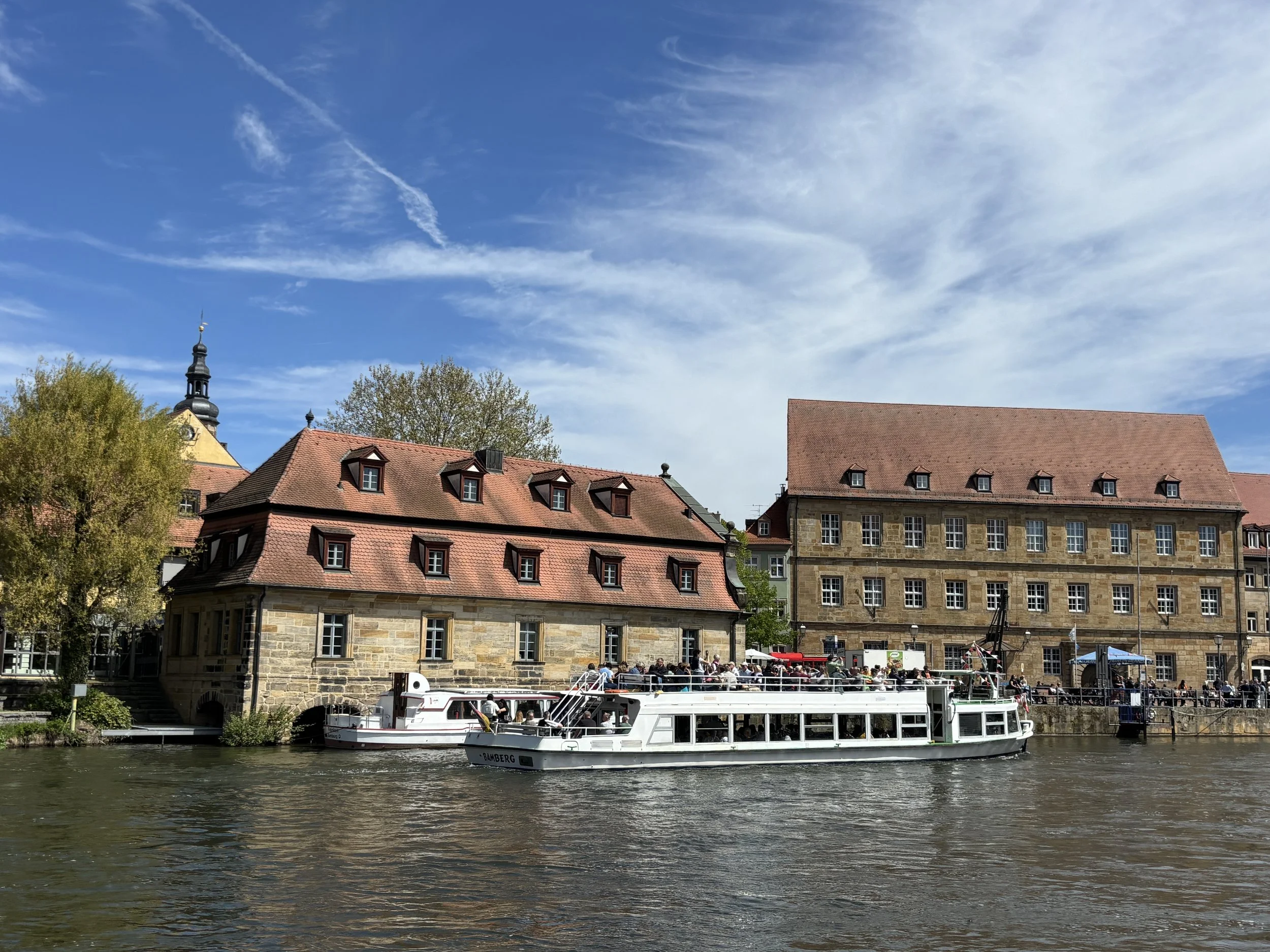
There is even a gondola service that would give you a ride through the canals for a fee! Or, if you prefer something more conventional, you will also find here several boats that a carry tourists around. We didn’t do that, and went for a stroll along the banks of the Reignetz instead.
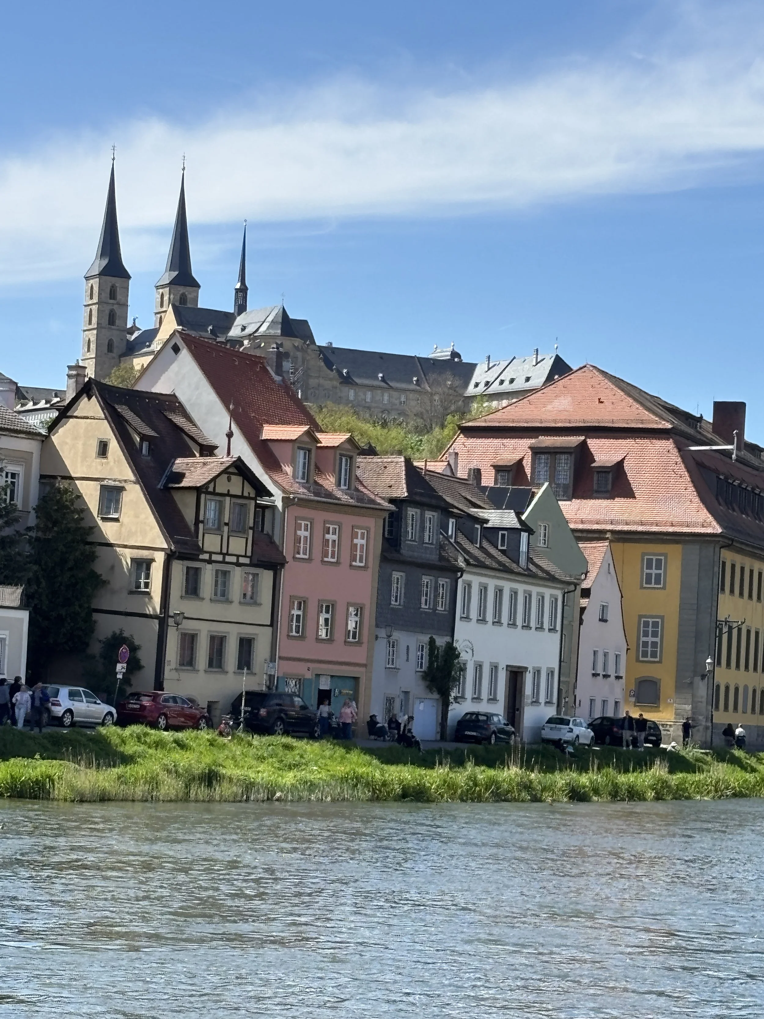
When the weather is nice, as was the case during my visit, Bamberg’s river side is an amazingly beautiful place. However, crowds can form at some spots, and for good reason!
One such spots is the small island that holds what is one of Bamberg’s most distinctive buildings, the old town hall (“Altes Rathaus”), which is the beautifully ornated historical building the picture of which opens this article.
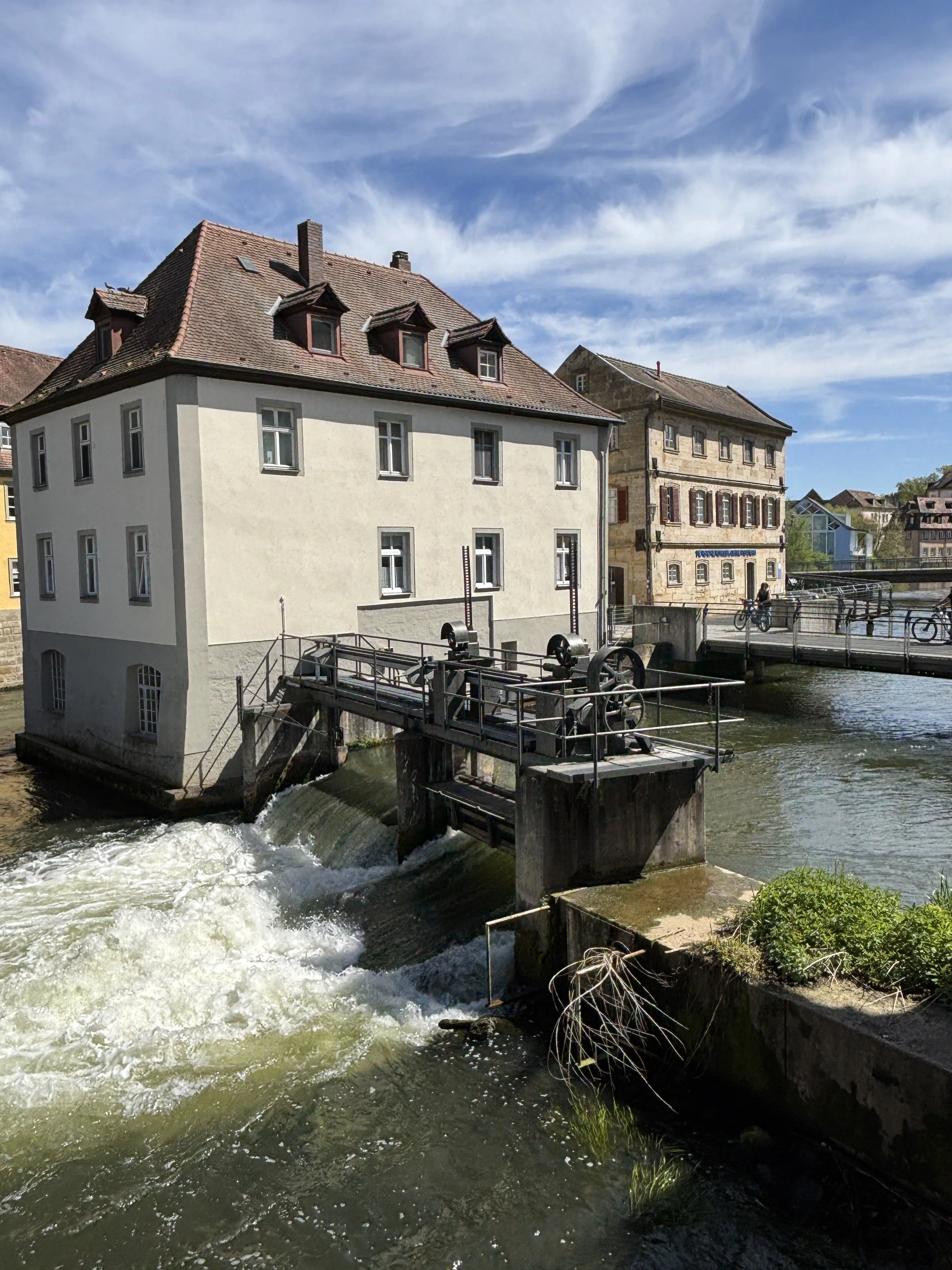
The whole area along the river banks, though, is pretty harmonious and makes for a pleasant walk.
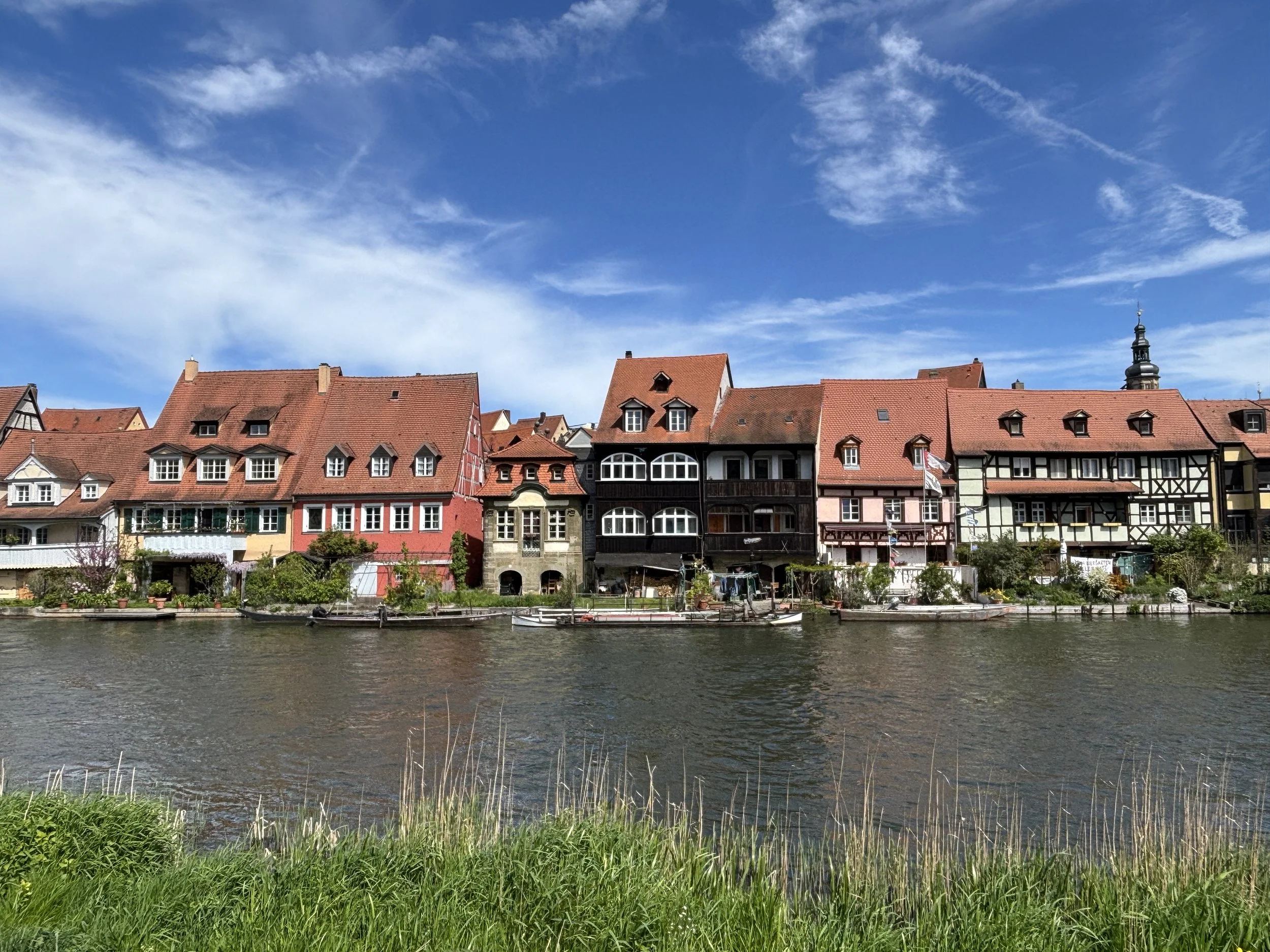
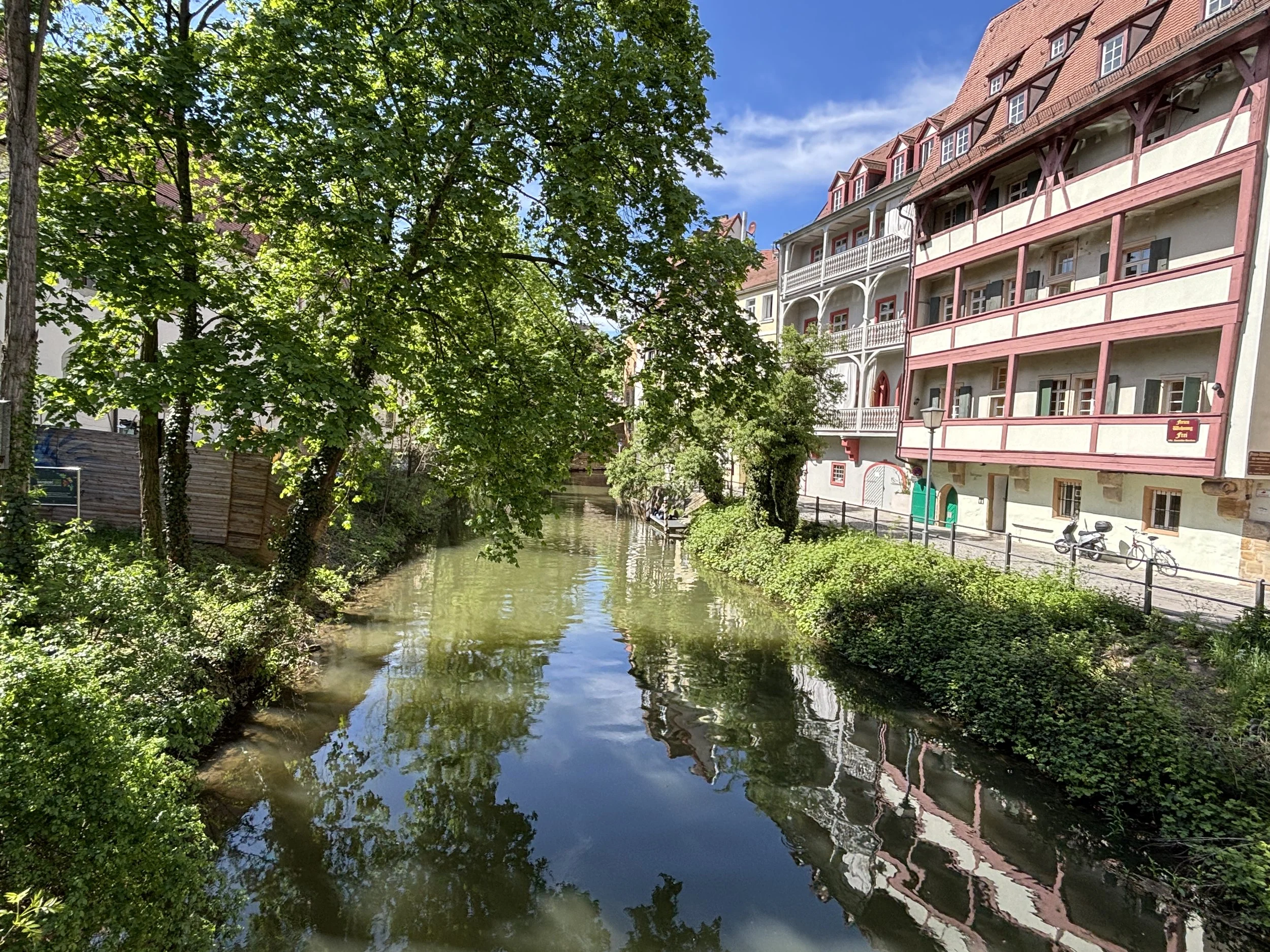
A walk through Bamberg’s old town
Our itinerary then took us uphill, for it is at the top of one of Bamberg’s seven hills that we find what was the nucleus of Bamberg’s political and ecclesiastic power for around eight centuries.
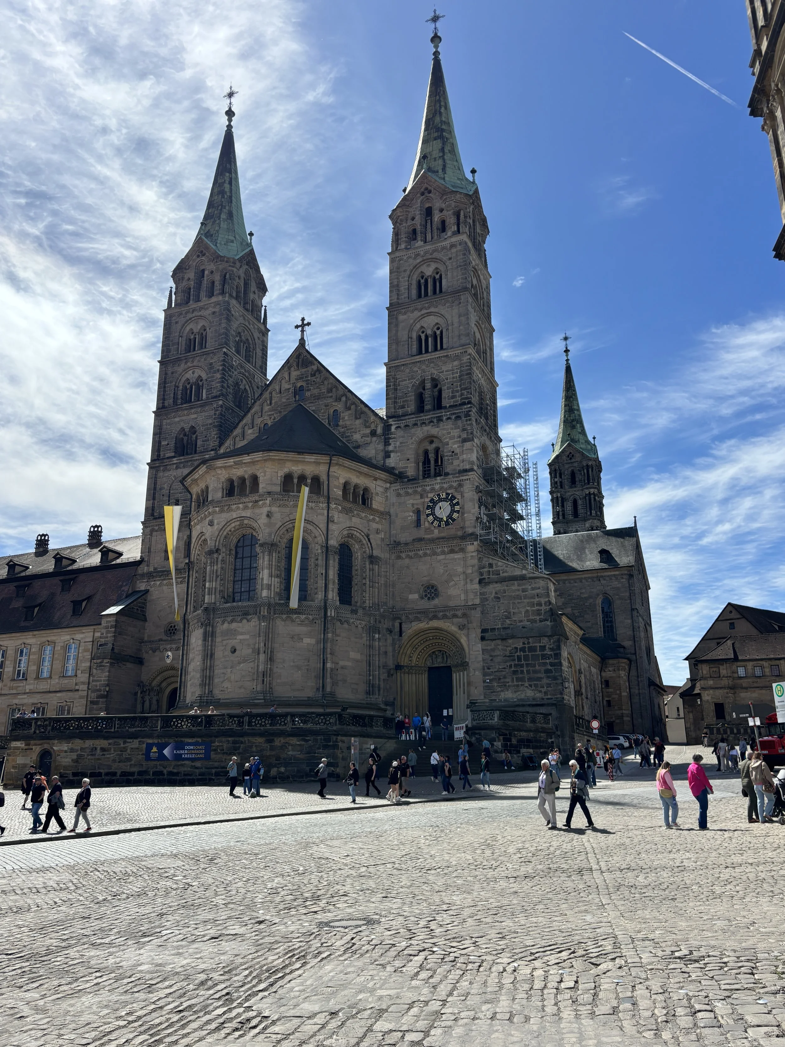
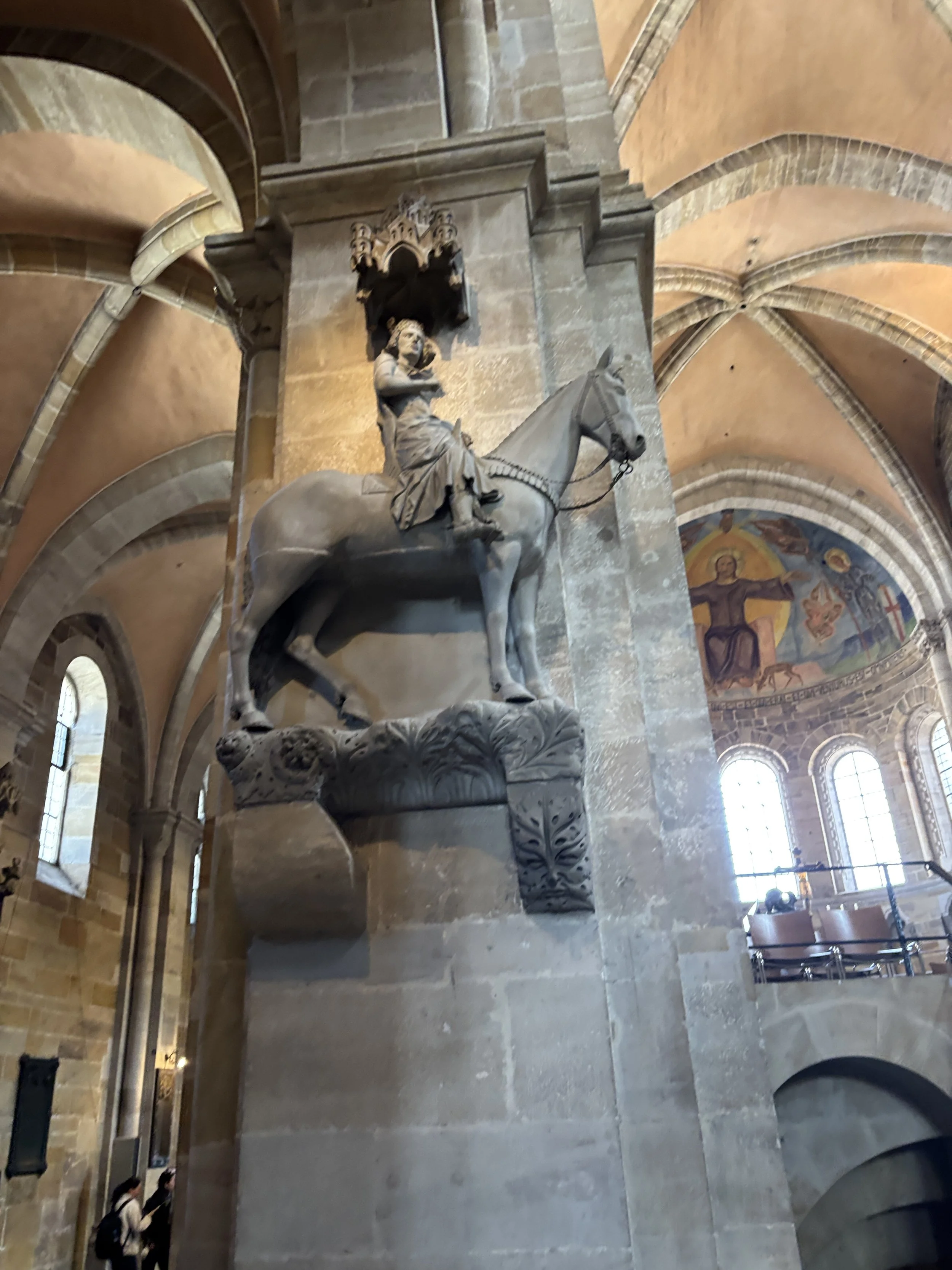
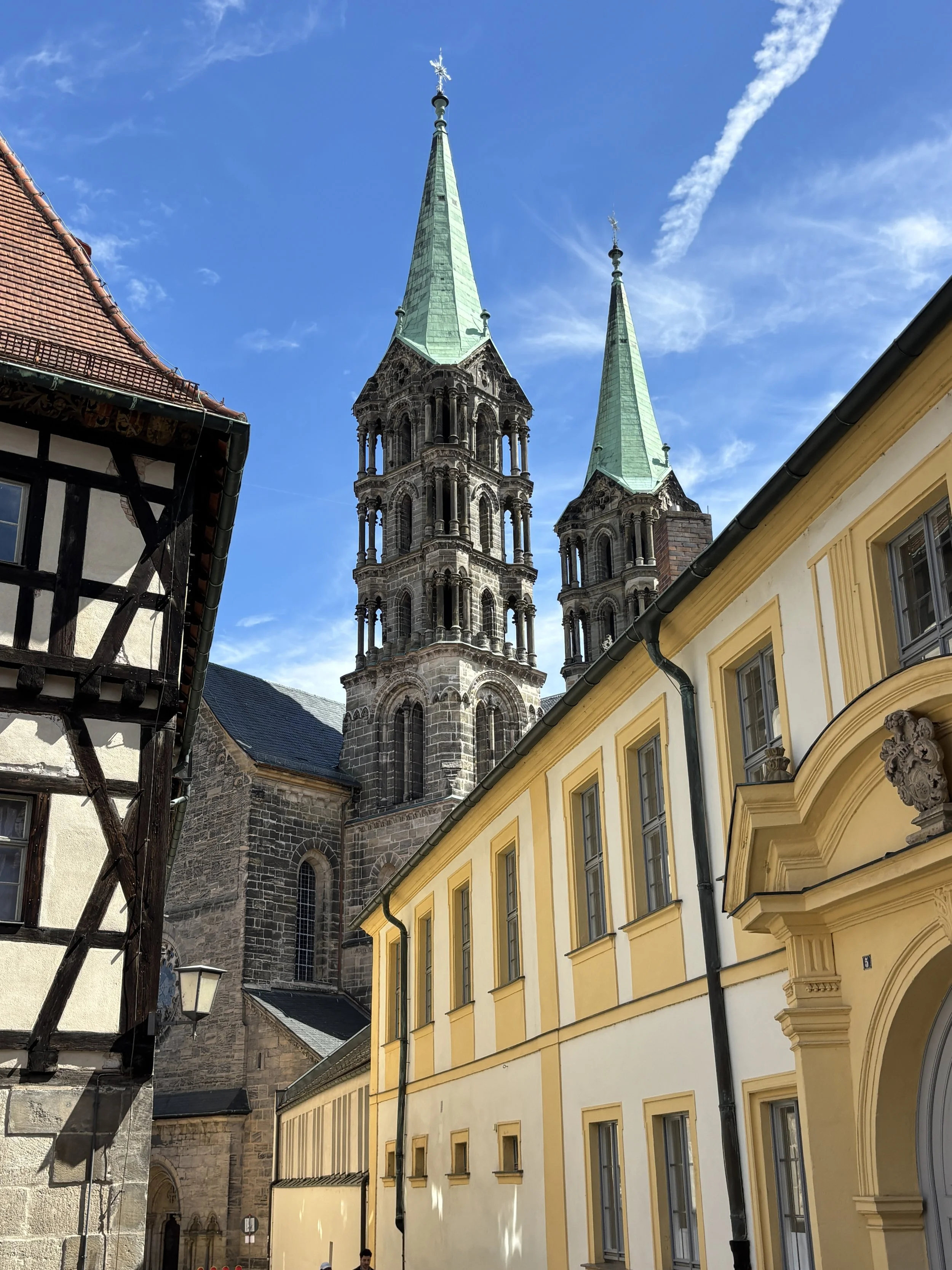
Bamberg’s Cathedral (“Bamberger Dom”) is the most imposing building of the lot and, from its hilltop position dominates the rest of the town. It has Romanesque and Gothic elements and no less than four towers.
Besides its religious and political importance, Bamberg Cathedral has two interesting curiosities: it has the tomb of Pope Clement II, which is the only papal tomb north of the Alps.
And it also has the Bamberg Rider, “Bamberger Reiter” in German (picture above right), which is a 13th C. statue which, to this day, no one knows who does it represent.
It is here, adjacent to each other and structured around a large open and somehow inclined square, that we find two other very prominent structures.
One of them is the Old Court, which is one of the oldest structures in the city and once upon a time an Epicospal residence, the other is the Neues Residenz (below), which was the main palace of the princely bishops of Bamberg.
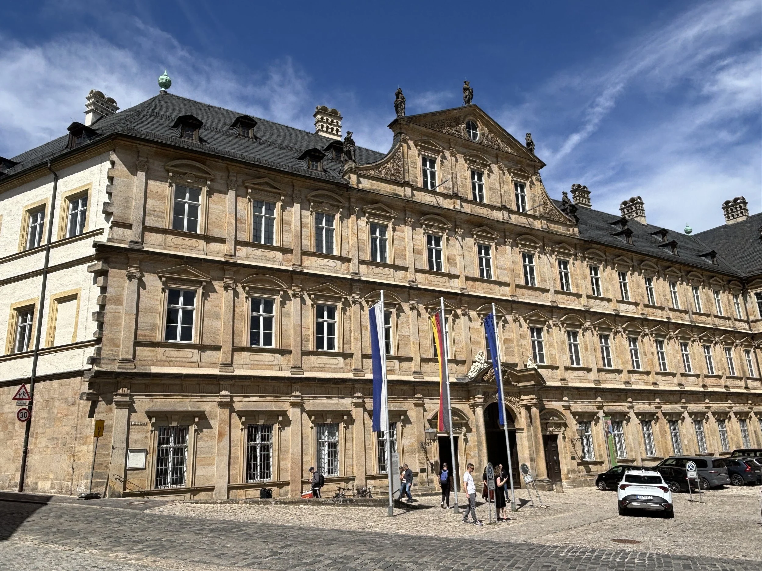
Below you can see the Old Court, which is a collection of very old timbered buildings organized around a central courtyard.
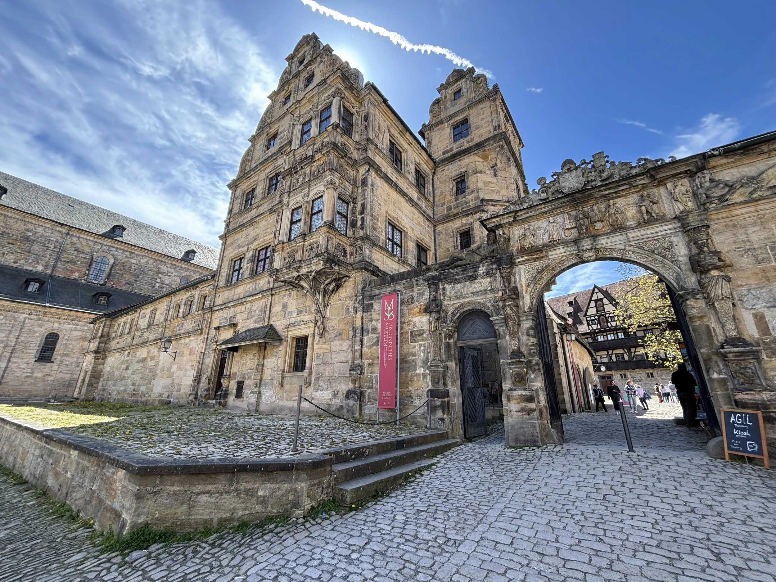
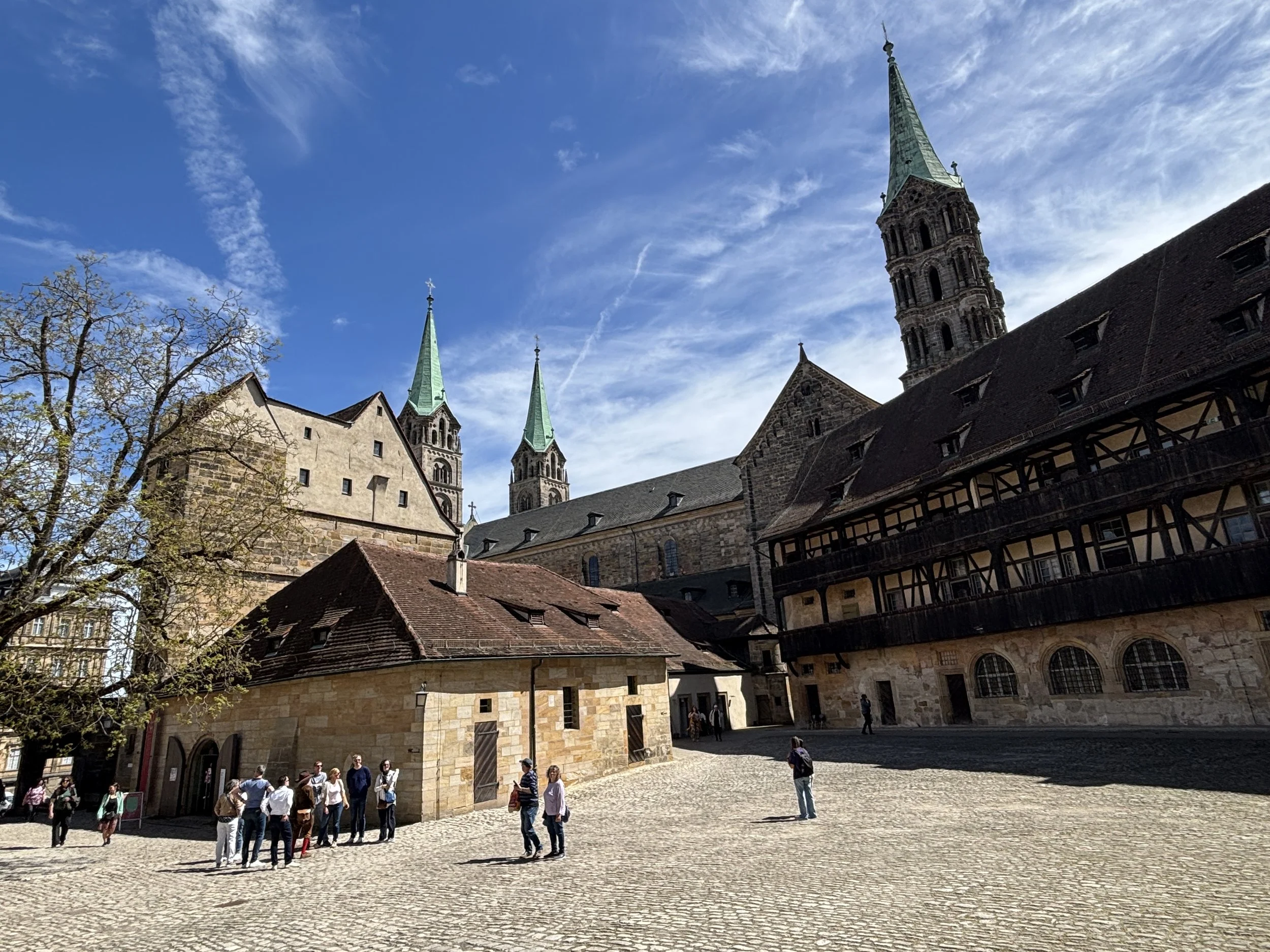
The old town of Bamberg is surrounded by greenery and, while there is a constant flow of tourists, it has quite a few quite and really calm spots.
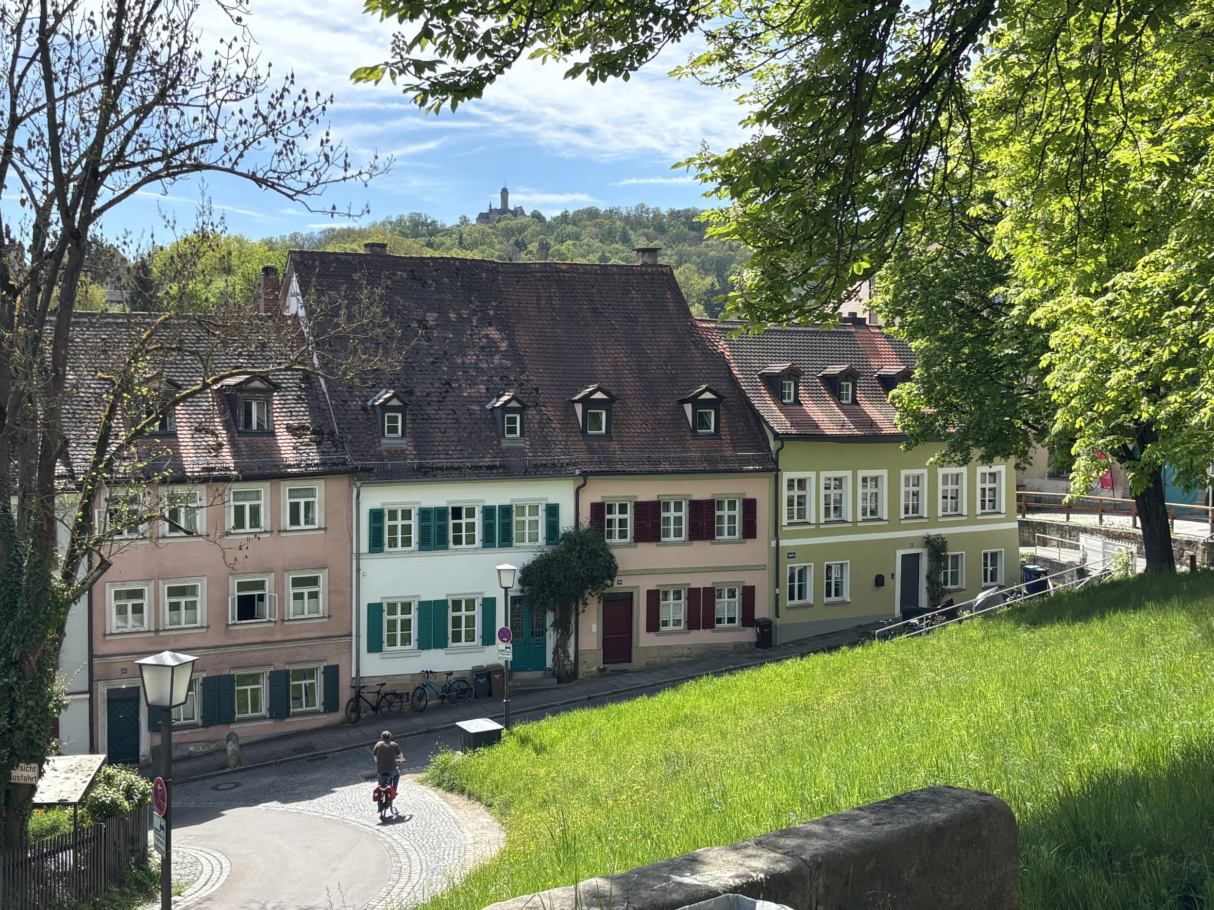
Another building of note is the Monastery of St Michael, which sits on top of another of Bamberg’s hills (the” Michelsberg”). It was built in the 11th C. as a Benedictine monastery and was secularized in the early 19th C.
It is one of the most iconic elements in Bamberg’s skyline, particularly when seen from the Rose Garden. The latter, which is an annex of the Neues Residenz, is a perfectly manicured classical garden which opens onto a terrace providing what is likely the best panoramic view of the city.
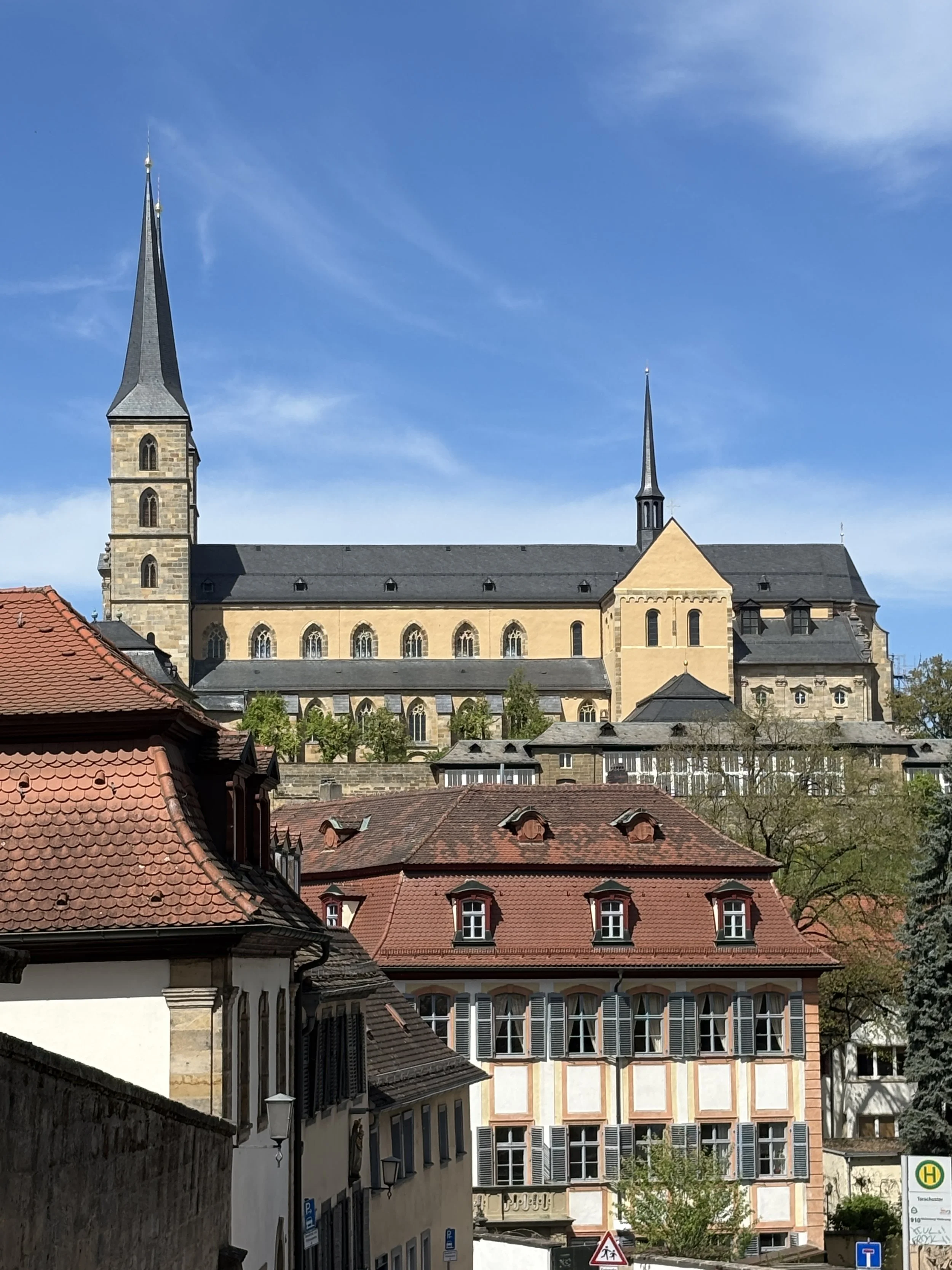
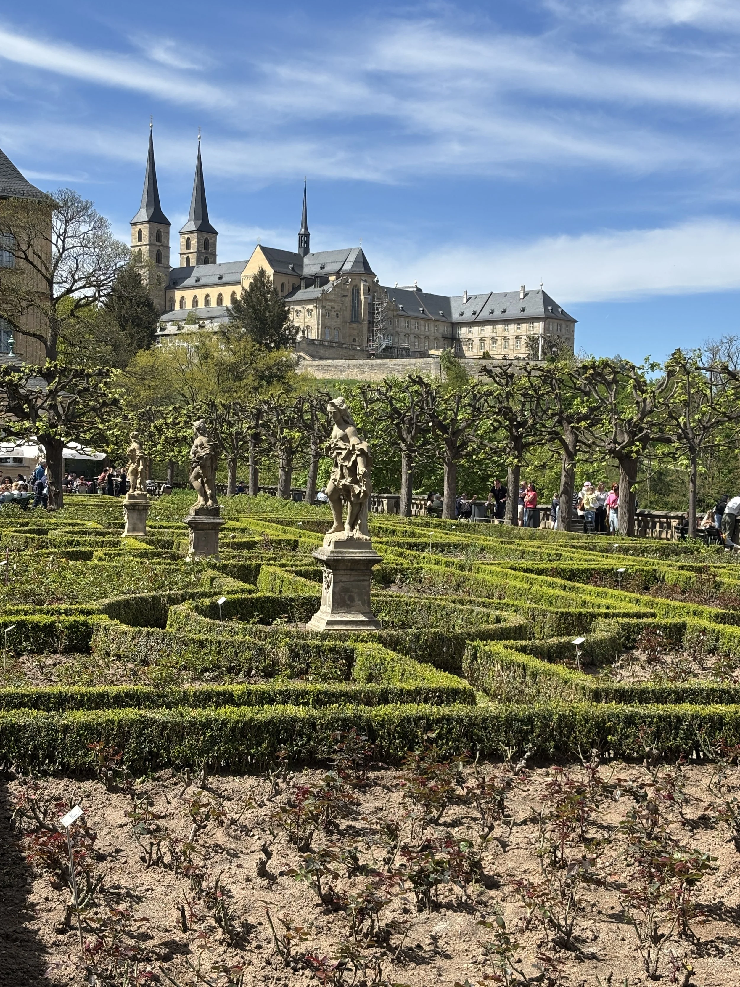
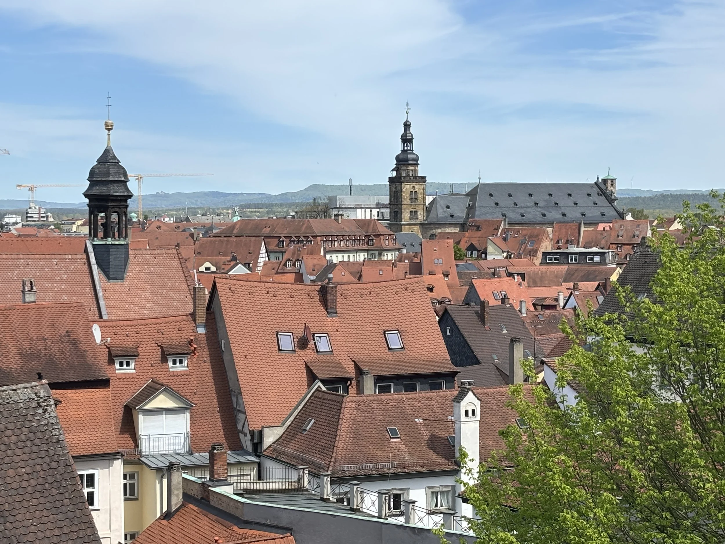
The walk through old Bamberg took us through several picturesque locations, with the unequal terrain offering several interesting perspectives.
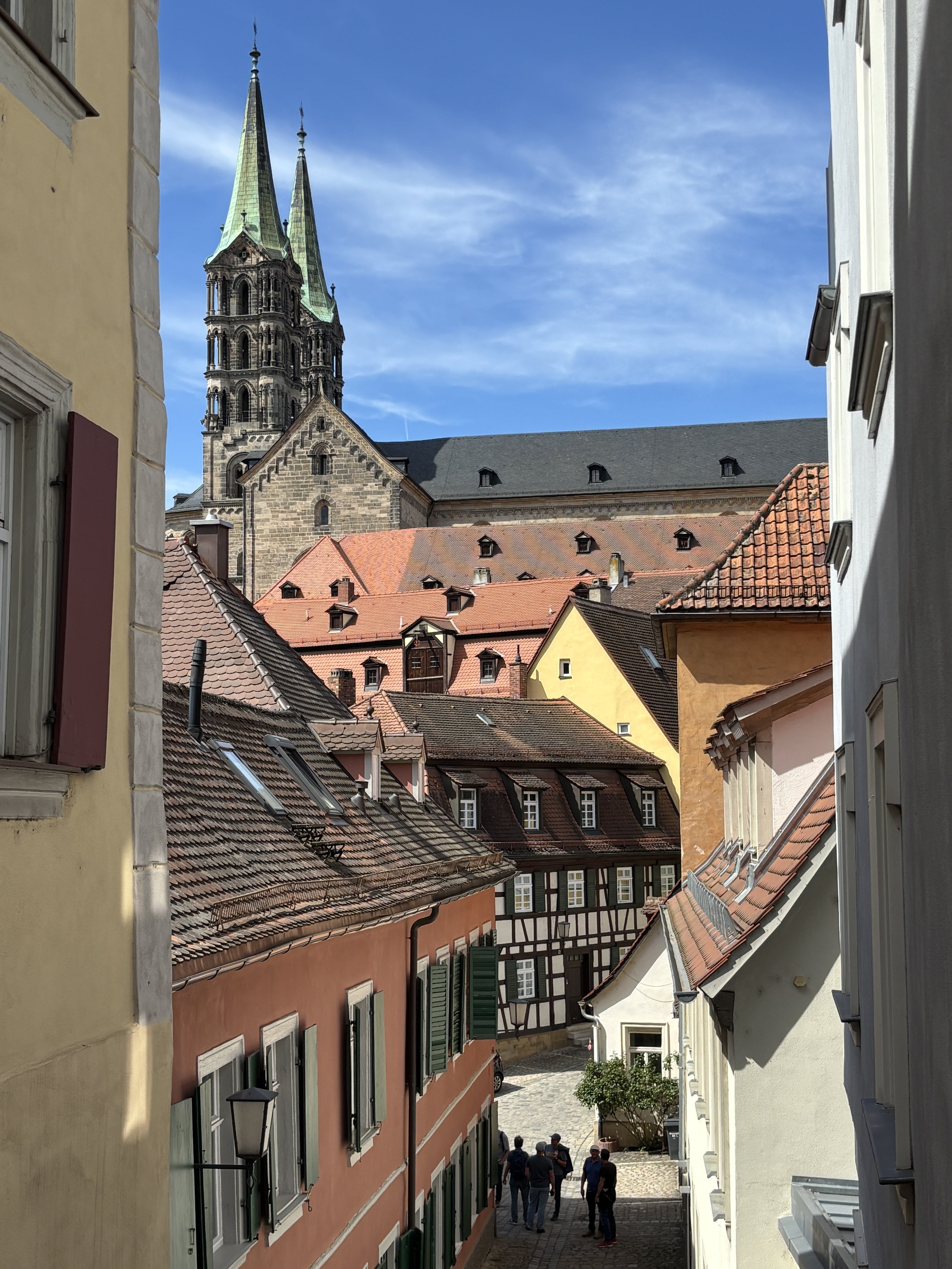
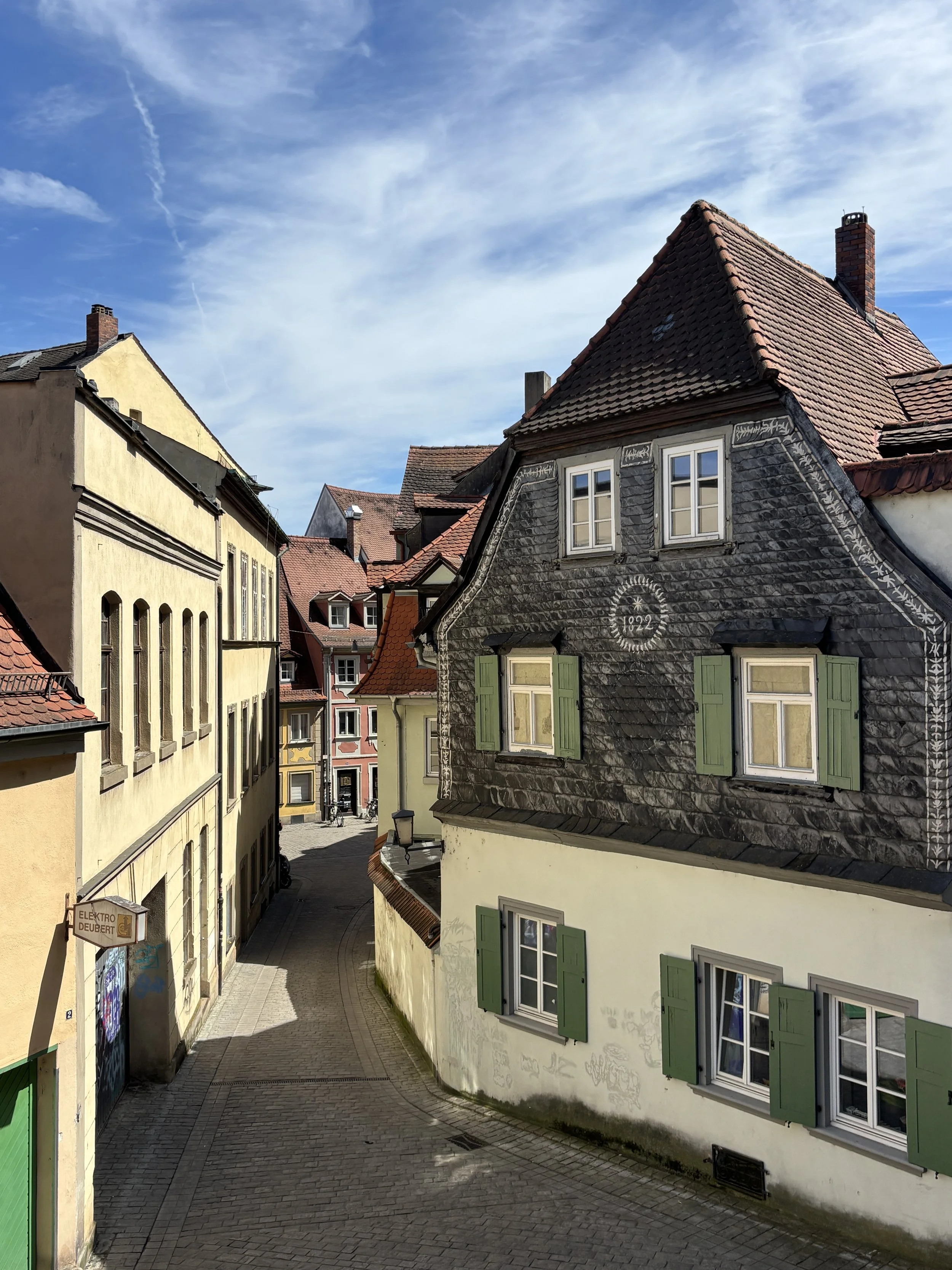
There are several other large churches of historical interest in Bamberg, such as Saint Jakob (a branch of the “Way of Saint James”, the famous pilgrimage route, passes apparently through Bamberg), Saint Stephan and the Parish Church of Our Lady (“Pfarrkirche Unsere Liebe Frau”). We only visited the latter of these, which is presided by a rather magnificent Baroque altar.
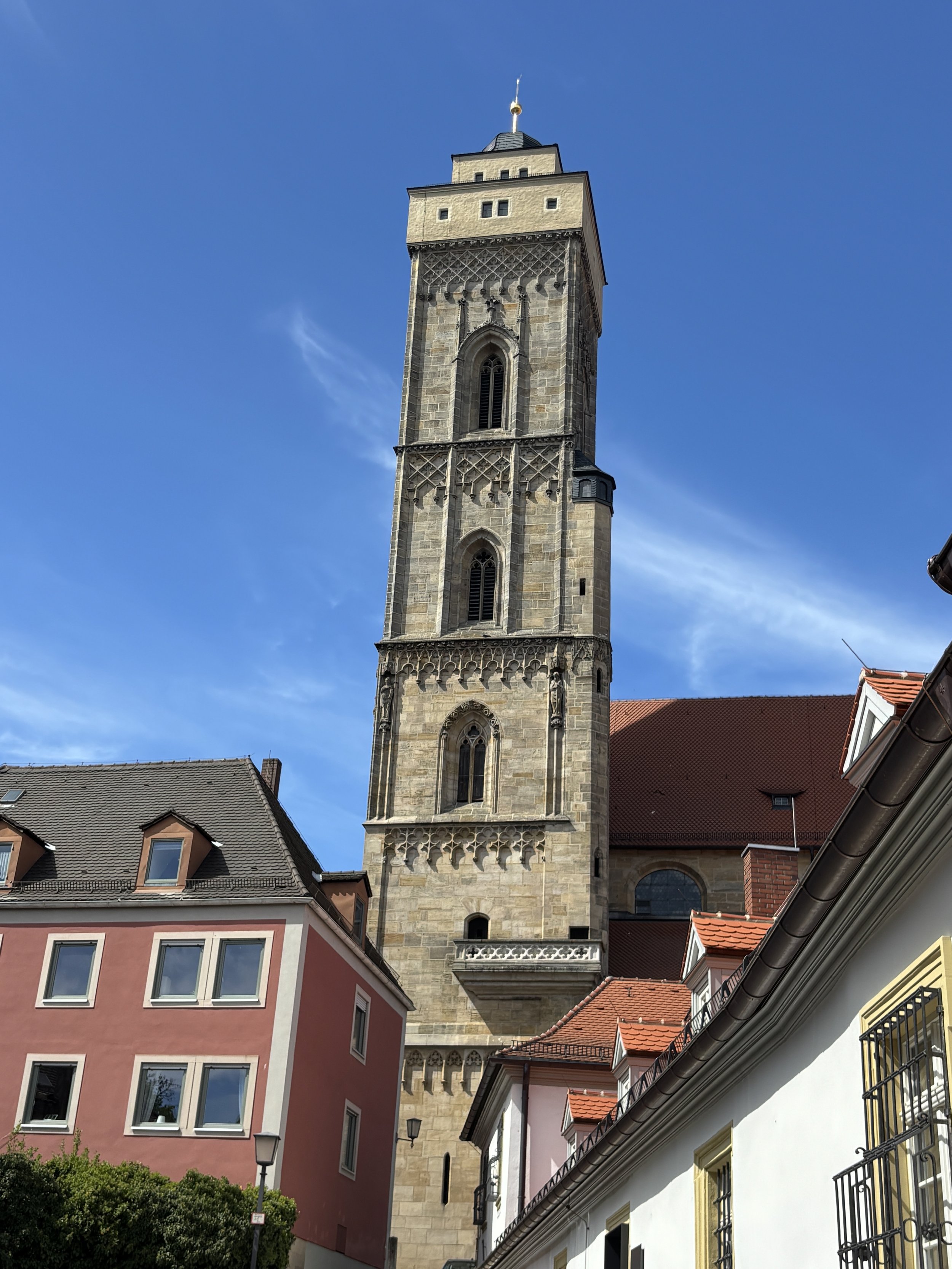
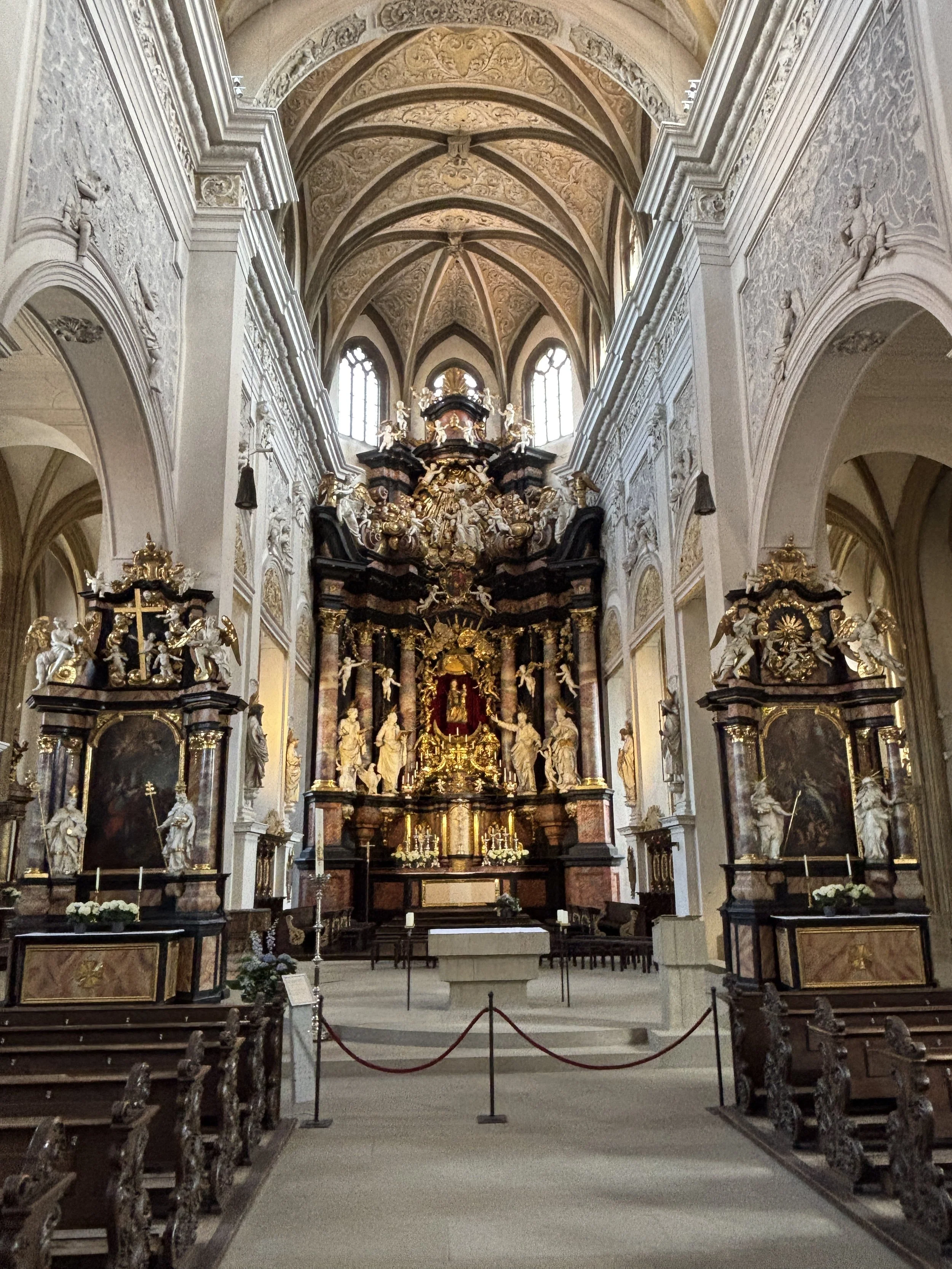
Where to eat in Bamberg
Schlenkerla Rauchbierbrauerei
Dominikanerstraße 6
96049 Bamberg
Bamberg is known for its smoked beer (Rauchbier) and no better place to taste it than its oldest and most renowned brewery, Schlenkerla.
This beer house was reportedly established in 1405 and it still produces smoked beer in the traditional way (using malt that has been dried over burning beechwood instead of hot air, a process which infuses the grain with a distinctive smokiness before fermentation). It is served in two versions: dark and light, with the latter being seasonal and available only in spring and summer.
So, if you wish to get the full Bamberg experience, make sure you stop by Schlenkerla to try it, even if you are not a regular beer drinker, as it is my case.
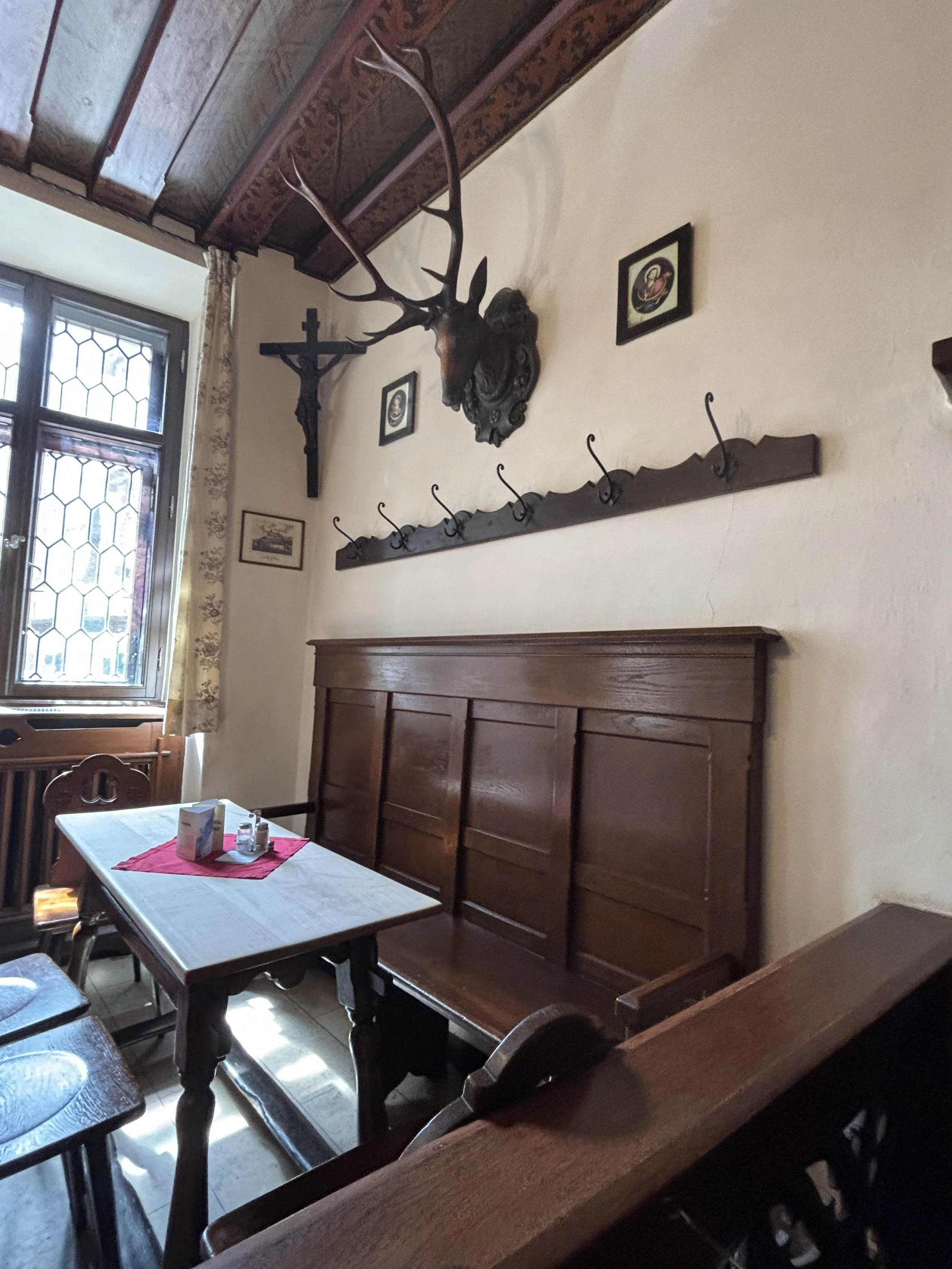
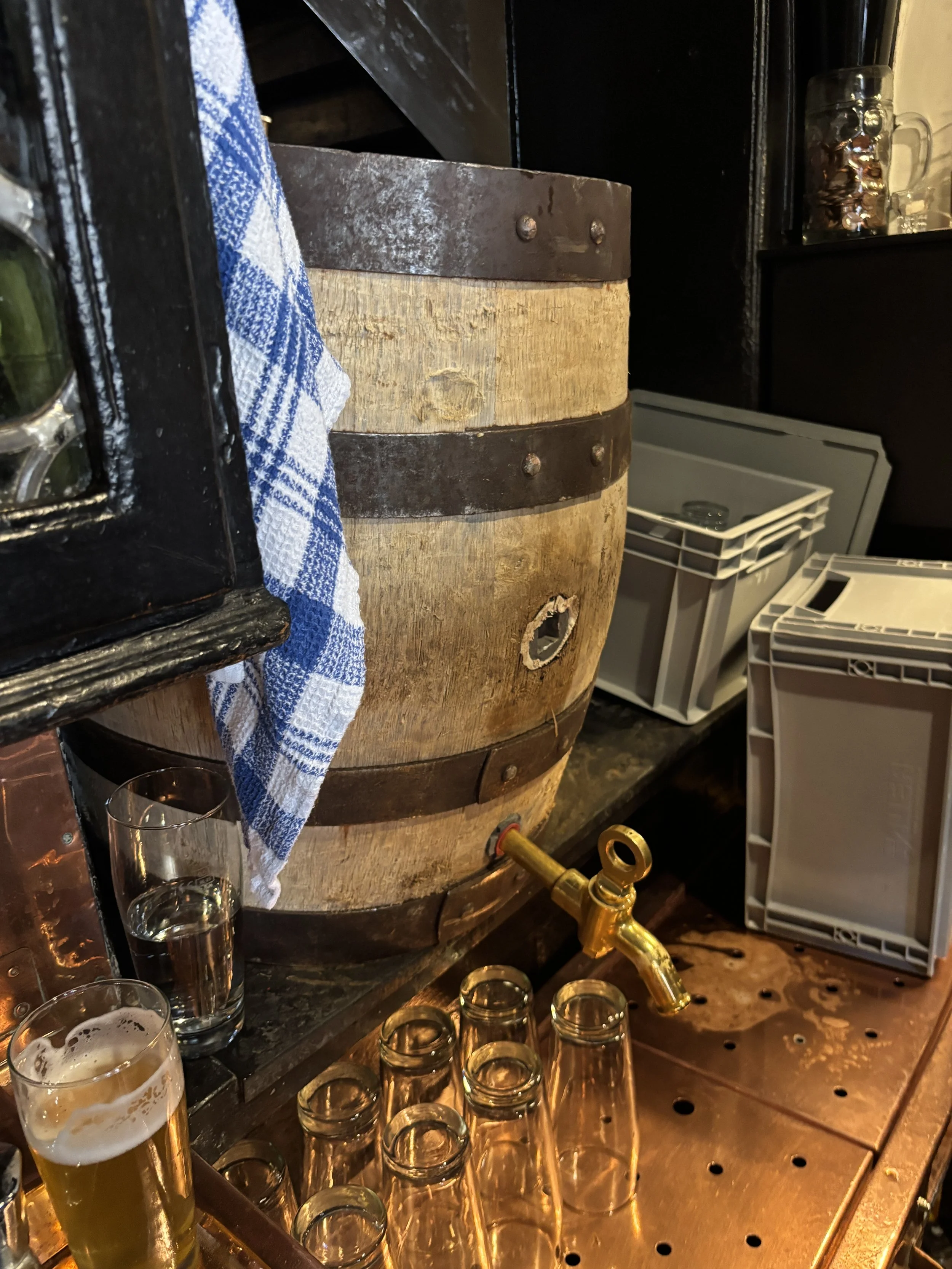
What’s more, since it is also a restaurant, you can have your beer together with another of the local specialities: stuffed onions (“Bamberger Zwiebel”). These are filled with pork meat and served with a side of mashed potato and gravy. It’s quite a filling dish!
By the way, the beer you see here is Schlenkerla’s Pale Lager, which is a special edition beer that the restaurant offers exclusively on “Beer Day”, April 23, and while supplies last. No smoked malt us used in its brewing process, however, it’s brewed in the same copper kettles and with the same yeast as the traditional “Rauchbier” in order to give it a slight smoky flavour.
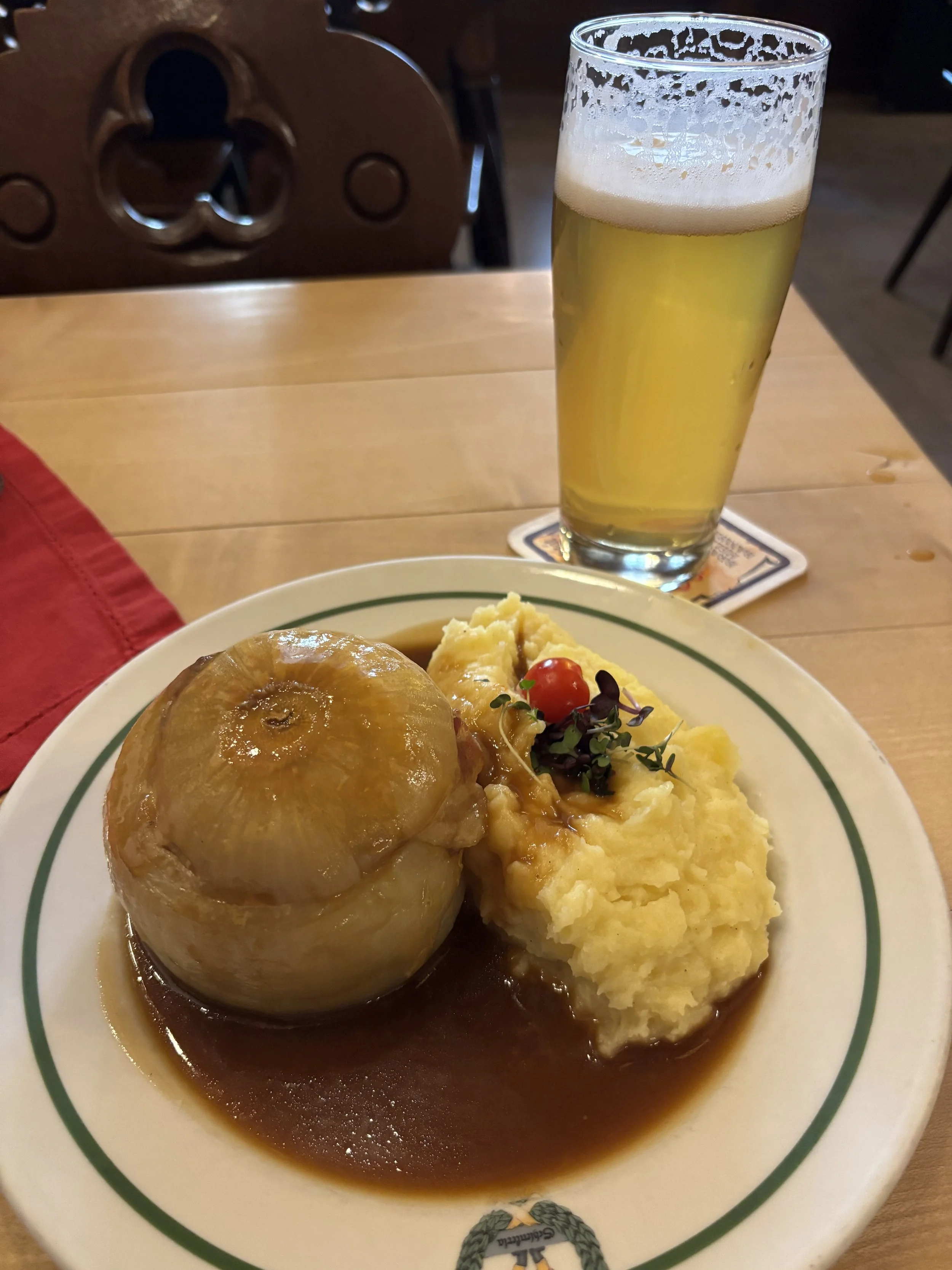
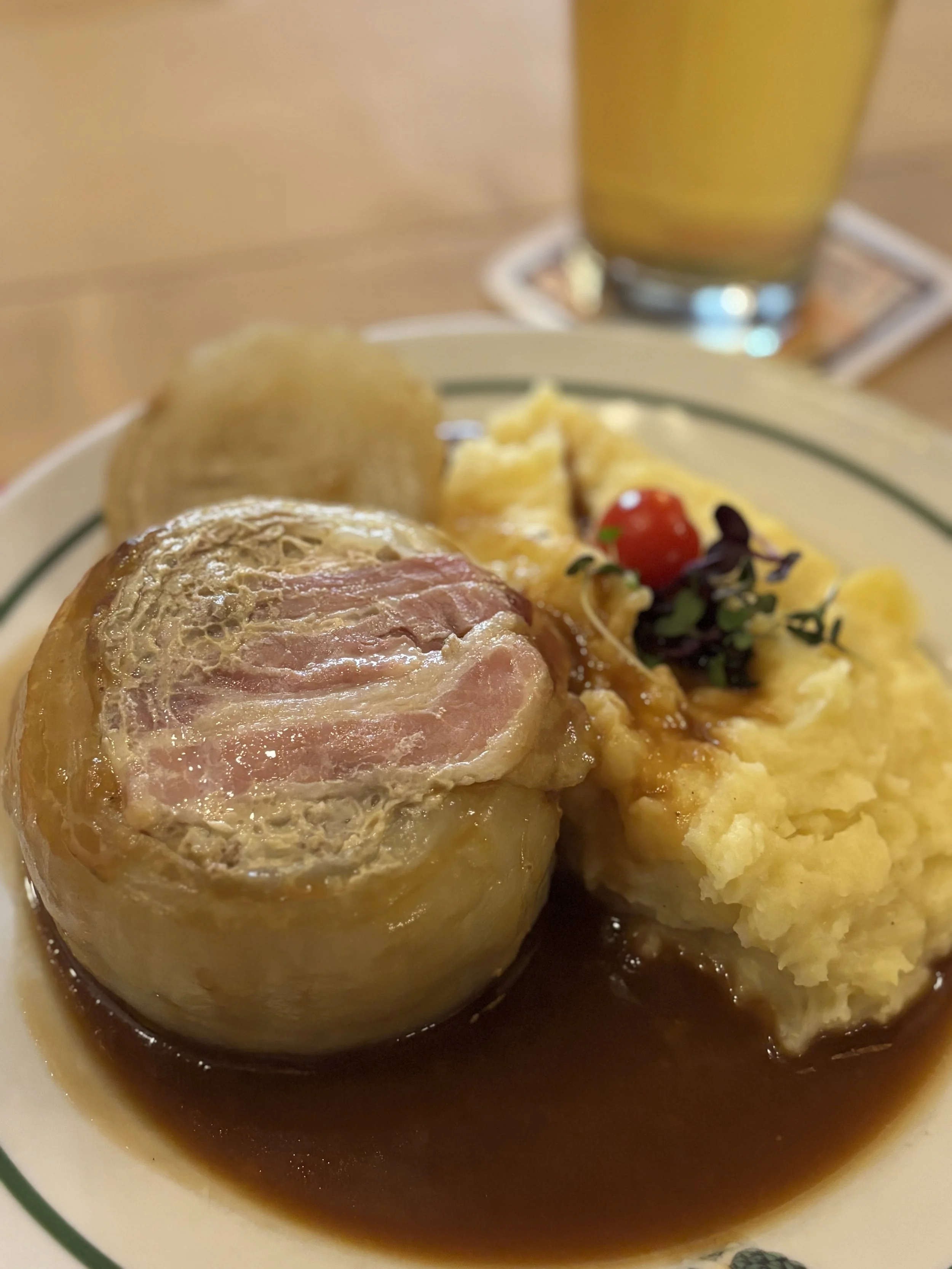
Grüner Markt and other Bamberg specialities
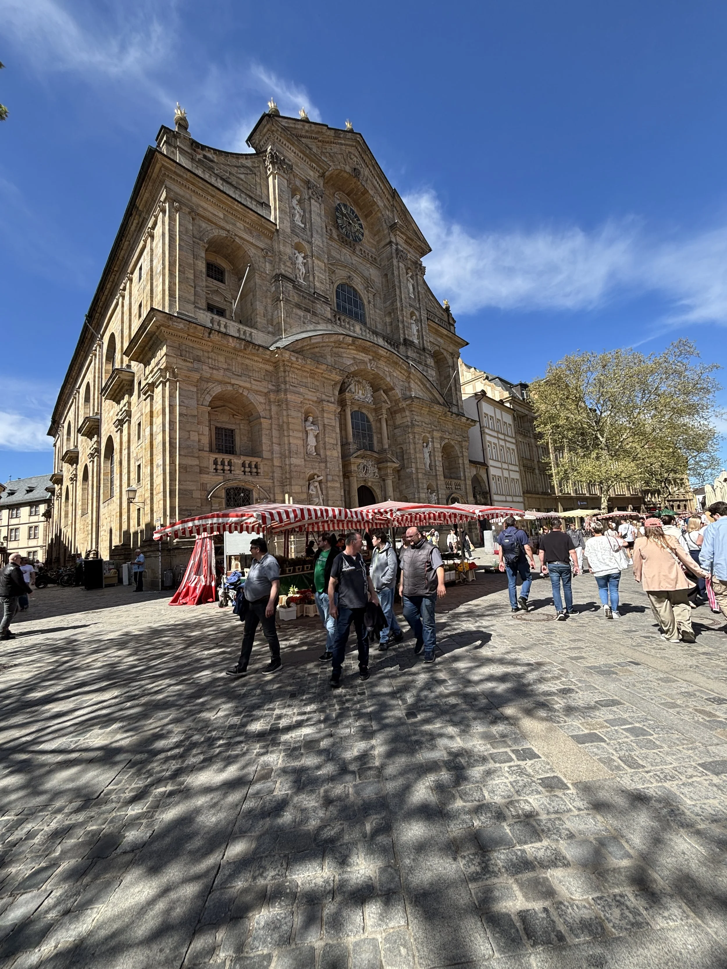
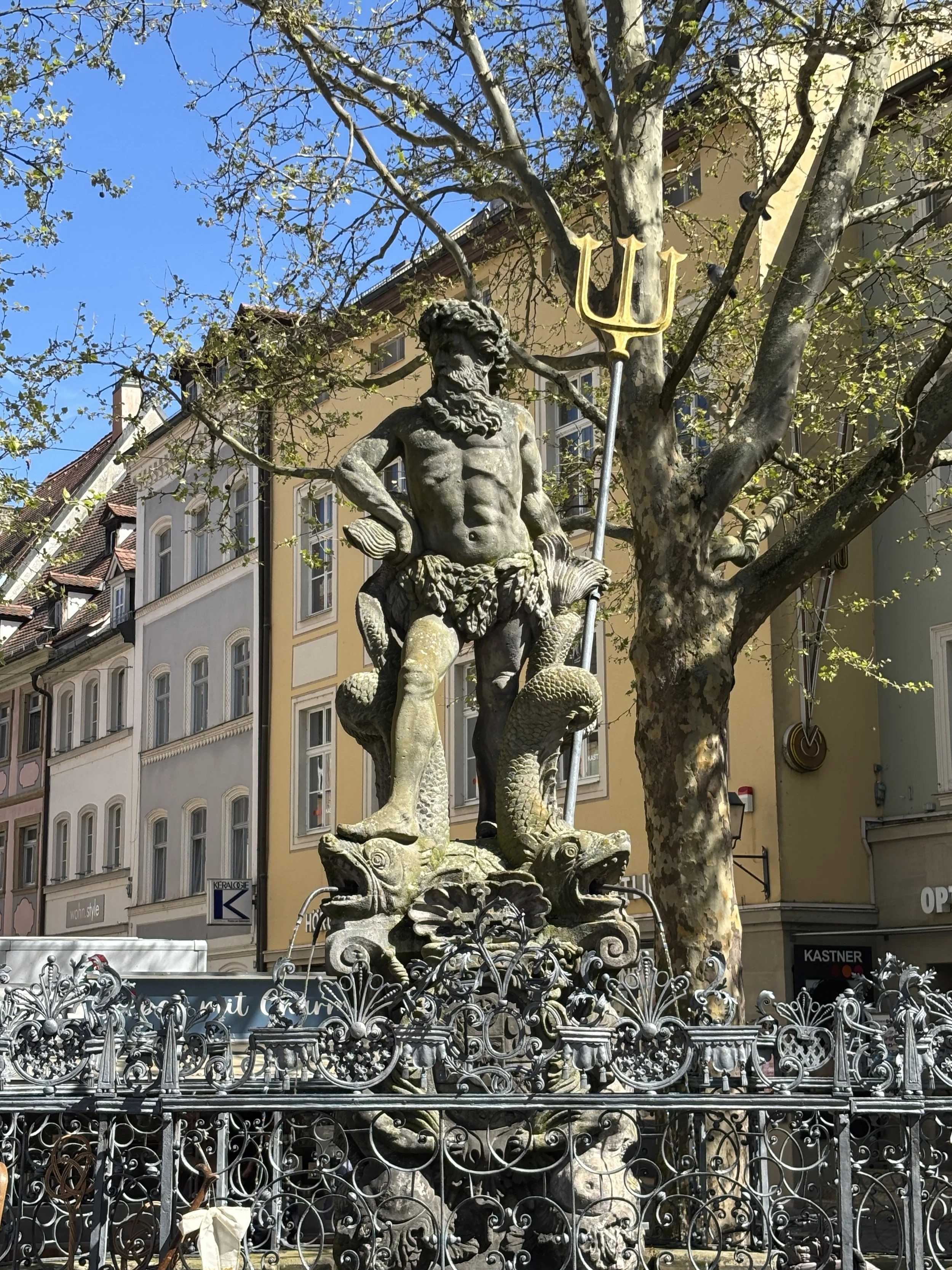
Bamberg’s downtown stretches onto the eastern bank of the Reignetz. And while this is still, technically, part of the old town, the streets here have a more modern feel, with Grüner Markt (“Vegetables Market”) and Maximilien Platz acting as buzzing commercial hubs of the city.
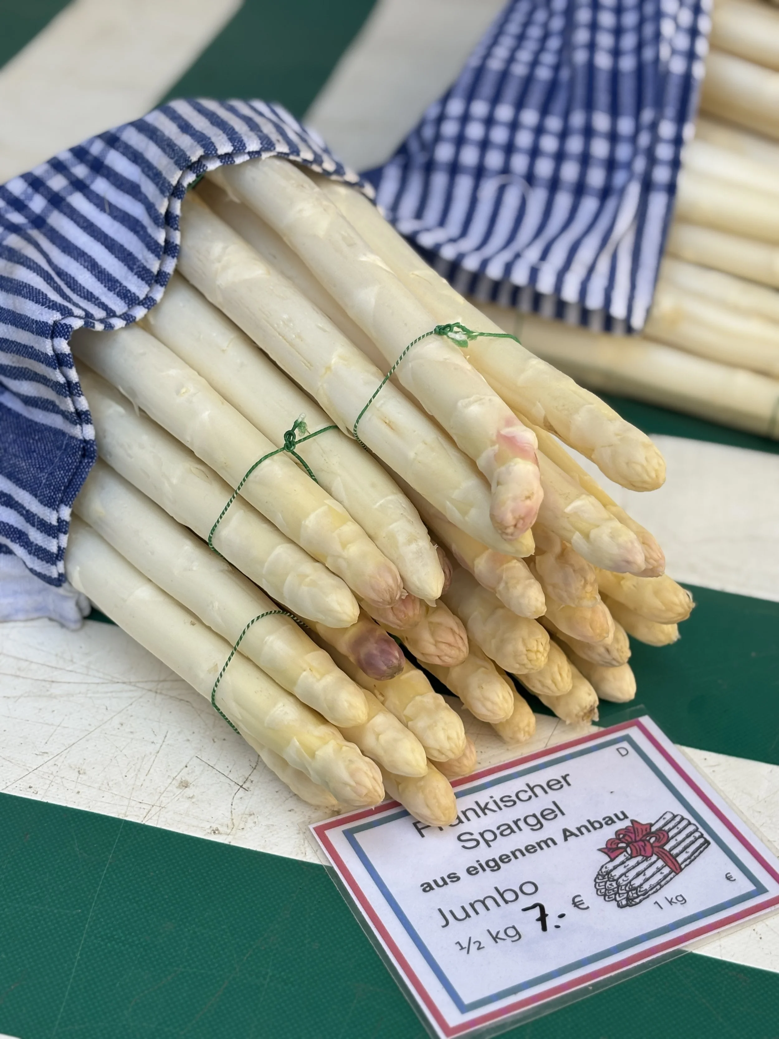
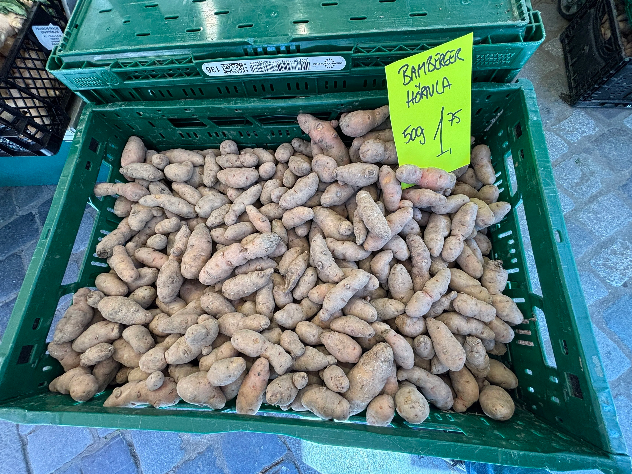
Grüner Markt, in particular, holds a street market for produce where it is possible to find some other local specialities, like the white aspargus and a special type of small crescent-shaped potatoes called “Bamberger Hörnla”.
Maximilien Platz (below), in turn, is the center of the city’s modern administration.
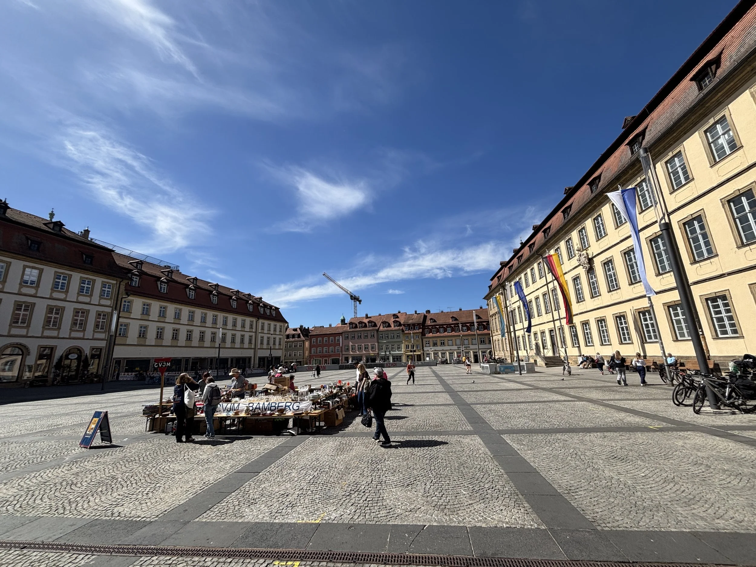
Yet another local speciality in Bamberg, this one in the bakery section, are the “Bamberg Hörnchen”, a type of croissants which are more curved than the regular ones and thinner at the center.
By the way, if you are into beer, before heading back to the station, you can stop at “Die Bierothek”, a shop where you can find specialty beer from Bamberg (including the famous smoked one) and the rest of Franconia (if you like beer, stay tuned for the next installment of this series, Forchheim, since it will feature plenty of it!).
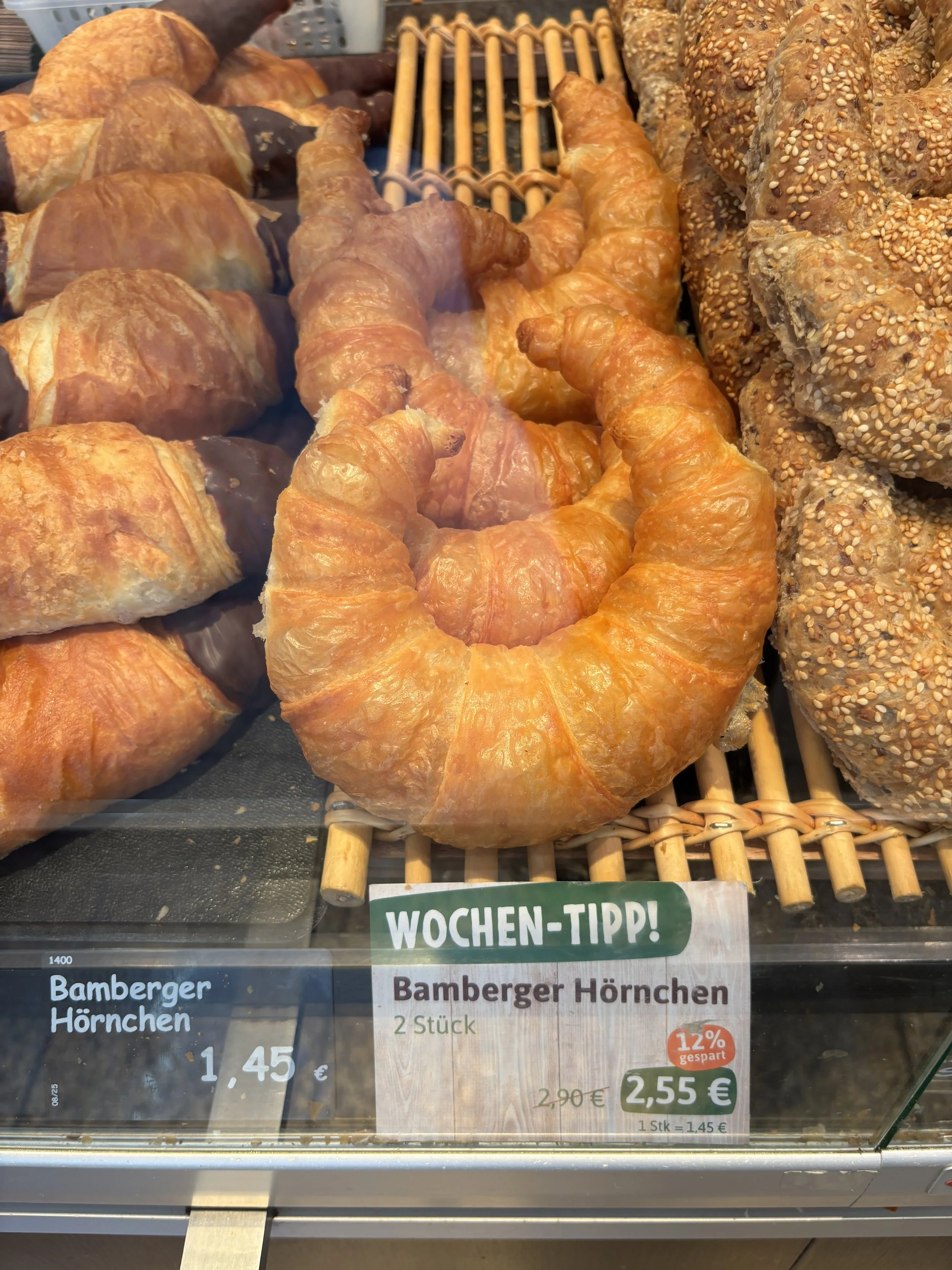
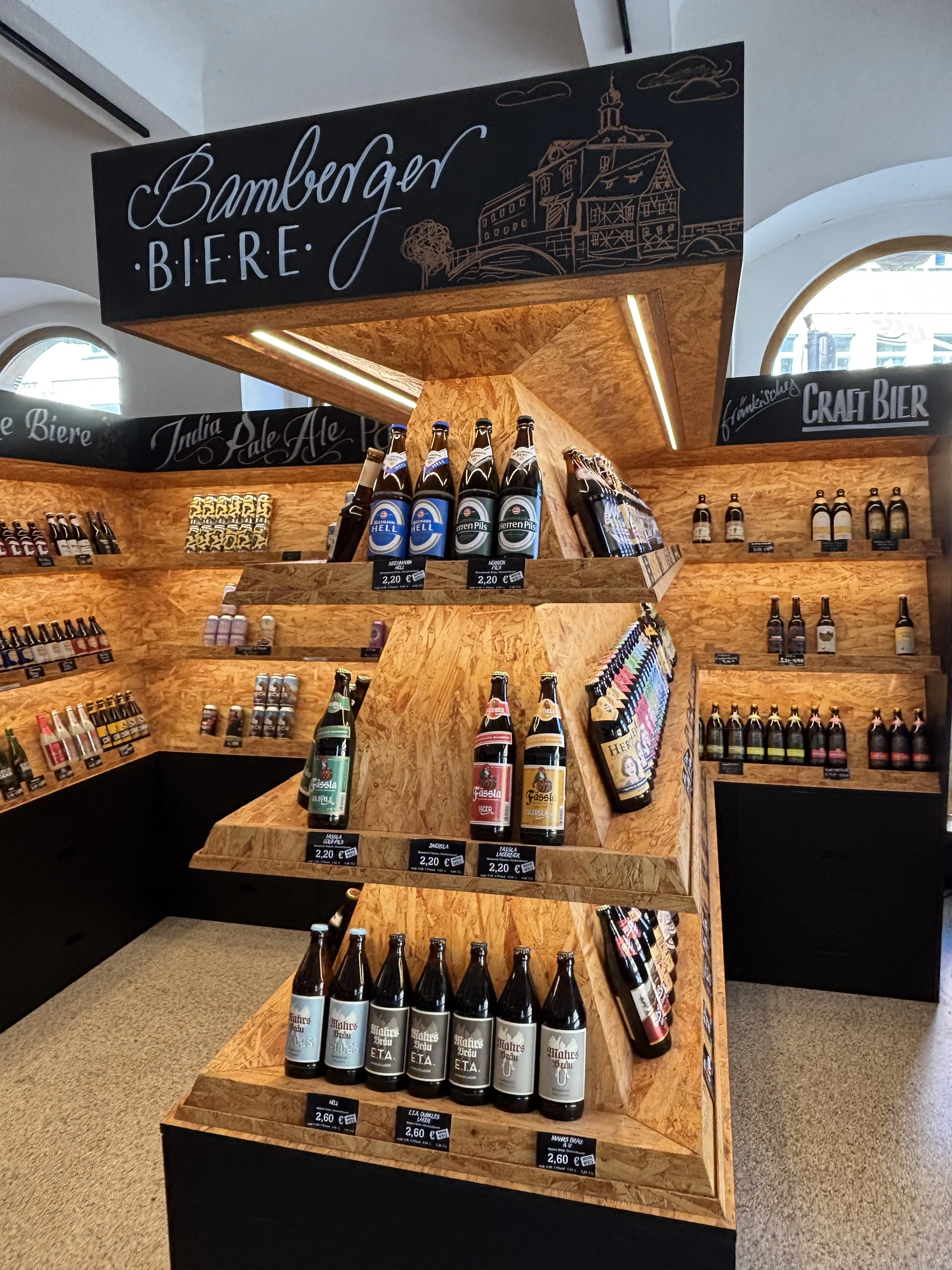
If you enjoyed this post, check out the next stage of my Franconian trip: Forchheim and its underground beer cellars!
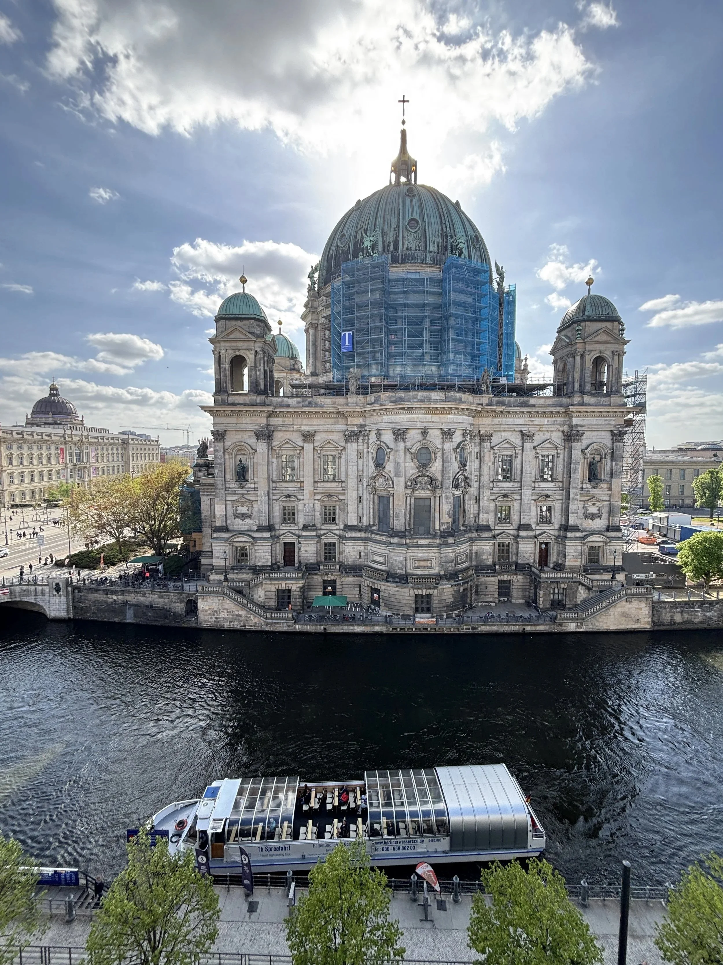
Two great unique hotels with character in Berlin
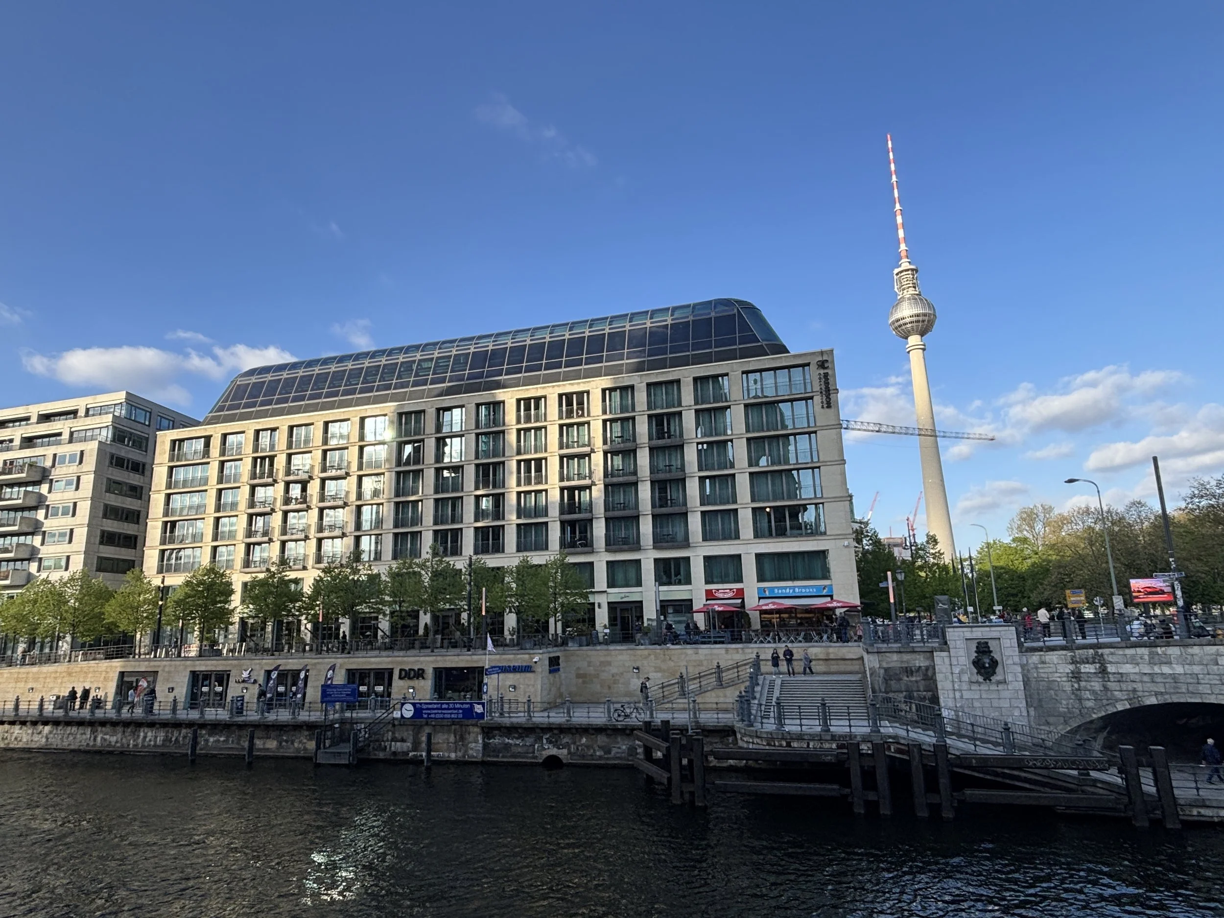
I have been traveling to Berlin quite a few times in the last few months and, for good or for bad, I have had a chance to stay at quite a few hotels all over the city. It is rare when to come across properties that really stand out, but every now and then I come across some true gems which I think it is worth sharing.
To be clear, this is not a post about Berlin’s main tourist attractions, there are plenty of other blogs that can provide that, but to share some details about what I think are two of the best options to stay in Berlin right now at price points that are, I think, not particularly extravagant for the typical business traveler.
A recent trip to the German capital offered me the chance to experience two greatly located hotels which I will proceed to describe next:
Radisson Collection Berlin
The PostHouse Berlin
This post may contain affiliate links. If you book or buy something through them, I earn a small commission, at no extra cost to you. It's one of the ways I keep Places of Charm going. Thank you for your support.
I would like to thank also Radisson for facilitating the stay at this specific property. All opinions are my own.
A review of the Radisson Collection Hotel Berlin
The Radisson Collection Hotel Berlin is truly a landmark hotel. It is located in what must be one of the most prime pieces of real estate of any hotel, of any category in Berlin, right on the banks of the river Spree, next to Museum Insel and the opposite the Berliner Dom.
The building itself is also quite remarkable, a compact and solid, building with a large indoor courtyard that is dominated by a rather impressive central structure that simulates a sort of giant tree.
The overall aesthetic is modern and elegant throughout, but with a rather cozy vibe which is rather different to that of other more, let’s say, “classical” luxury establishments.
In fact, all around the aforementioned central trunk, in the lobby area is a mixed bar/restaurant-library/reading room-workspace area, complete with a fully stocked library (interestingly, with what appears to be a rather large Scandinavian book section, which possibly reflects Radisson’s own roots!)
This somehow round floor plan makes it possible for all these different areas of the lobby to be conveniently compartimentalized while remaining within the same open plan. The reception area is also somehow segregated from this more innerpart (albeit still public) area of the hotel.
Access to the rooms is through the glass lifts which make for quite a scenic up and down the building. Access to each of the floors is also rather grand, with a large open space in a rather modern and harmonious style, including the colour palette, and local touches of decor.
The rooms at the Radisson Collection Berlin
As you may have already guessed, the rooms follow more or less the same contemporary style and no-nonsense approach to comfort. In this case, my room, located on Floor 11 (one of the highest) west side had also a special “surprise” that I will soon disclose, further down this post.
As you can see, the rooms have wooden flooring (another Scandi design touch), which I tend to prefer.
A few other details I liked about the room: note the large amount of storage space, both for luggage and also to layout clothes and personal items. Also, as is the norm in this category of establishment, there’s a coffee machine and some mineral water waiting for the guest.
The two-piece bathroom is also pretty impressive: very modern throughout and with a power shower. Bathrobes are also provided, since the hotel, as we shall soon see further down this post, has also a small indoor pool and a spa area.
The hotel offers also a whole range of additional ancillary services, from a choice of different pillow types to laundry, all through the electronic console which is accessible through the room’s work desk.
Best hotel room views in Berlin?
And now, the “surprise” that I mentioned earlier, because if this was an Instagram account, the moment of opening the room’s small balcony would be the time to do that typical influencer gesture of covering your mouth with the palm of your hand, in awe of the sights! The picture below is the unfiltered picture of what I could see from my room. Does it get better than this in Berlin?
And, for good measure, this is the view from the bed itself! That’s what I would call a central location!
Btw, in this picture you can appreciate the little balcony, which makes it easy to enjoy the views in full, since you can actually open the doors, a particularly suitable feature during the Berlin spring and summer when the weather can be quite balmy in the German capital! Btw, when that’s the case, you can just spend the afternoon watching the boats on the river Spree pass just underneath your balcony.
Also in the room is a work desk: the right size for the traveling professional and with plenty of natural light, as you can see!
Gym, Spa and Wellness at the Radisson Collection Berlin
As I mentioned earlier, there is a fitness and wellness center in the hotel. To be fair, the facilities are small, but they have pretty much all you would possibly need during a urban city break.
The fitness and wellness center is in the basement and accessible directly from the rooms through the lifts. There is a small pool, more for relaxation than exercises, tbh, as well as separate cardio, yoga, and weight rooms.
Eating at the Radisson Collection Berlin
The hotel has, of course, a restaurant. It is located on the ground floor on the west side of the property, which means that it has views of the river bank. The decor is aligned with the modern-cozy style of the rest of the property.
I had the chance to have my buffet breakfast there and it didn’t disappoint. The breakfast offering was predominantly continental, but with a fair amount of choices. This being Germany, the bakery section was particularly impressive!
So, overall, a very well rounded experience with the added touch that, as a guest, you have a very good chance of getting one of the very best panoramic views of the city of Berlin included in the fare (which, I may say, at this property tend to be in a very reasonable range for Berlin standards and adjusting for quality and location!), a true gem.
A review of The Posthouse Berlin Hotel - Potsdamer Platz
This was another find during a recent visit to Berlin, another real gem, offering great value at a prime location. The Posthouse Berlin Potsdamer Platz – Leonardo Limited Edition is a very modern hotel, which belongs to the Italian chain Leonardo.
It has the additional allure of being located in a historical building which once housed Berlin’s main postal distribution center, something that you can kind of guess looking at architecture of the place. In this case, as we shall soon see, Leonardo has fully embraced this truly unique character of the building when it comes to marketing this property.
While it is not located right next to the city’s top landmark, like the previous hotel we have seen, The Posthouse is also incredibly well located from the point of view of its centrality in the city. It is located within walking distance (10min) of Potsdamer Platz, right at the core of the Government District and pretty much on top (give or take a few dozens of meters) of where the Berlin Wall used to be. It has also within 5minutes walk of the Anhalter Banhof S-Bahn station and the Möckernbrücke U-Bahn station (in addition to the aforementioned Potsdamer Platz, which is also a major railway station).
What’s more the area is very walkable and safe, with broad avenues and lots of hotels, restaurants, shops and museums in its vicinity.
The rooms at The Posthouse Berlin
The rooms are large and very modern and cozy, with a mix of coulours that is warm and sophisticated at the same time. The little touches of colour make the whole ensemble more lively preventing it from being too “neutral”, while keeping the whole subdued.
The bathroom, rather large, also super modern and impeccably clean.

There is a little work desk, also very stylish.
On top of it, a little electronic console provides information and access to services, doing away with the old-school service directory folders.
Some more details that make The Posthouse Berlin a great hotel
A couple of additional details here: lots of space for luggage (you may have noted in the pics above that there is also a rather long bank opposite the bed) and even to sit down to take your shows on or off.
The windows open into a very calm street next to a large green area. In fact, the hotel is located in a rather nice area, with several pedestrian streets around and some shops.
As mentioned earlier, Leonardo has developed a whole brand identity for The Posthouse which is pervasive throughout the property. I particularly liked the very elegant way in which it is applied to all the small items you find in the room and in other parts of the hotel.
The Posthouse has also its restaurant, which shares the same ground floor space as the lobby and reception area. The different spaces are blended seamlessly and get plenty of natural light through the large windows that open onto the street on one side and onto a very large open courtyard on the other.
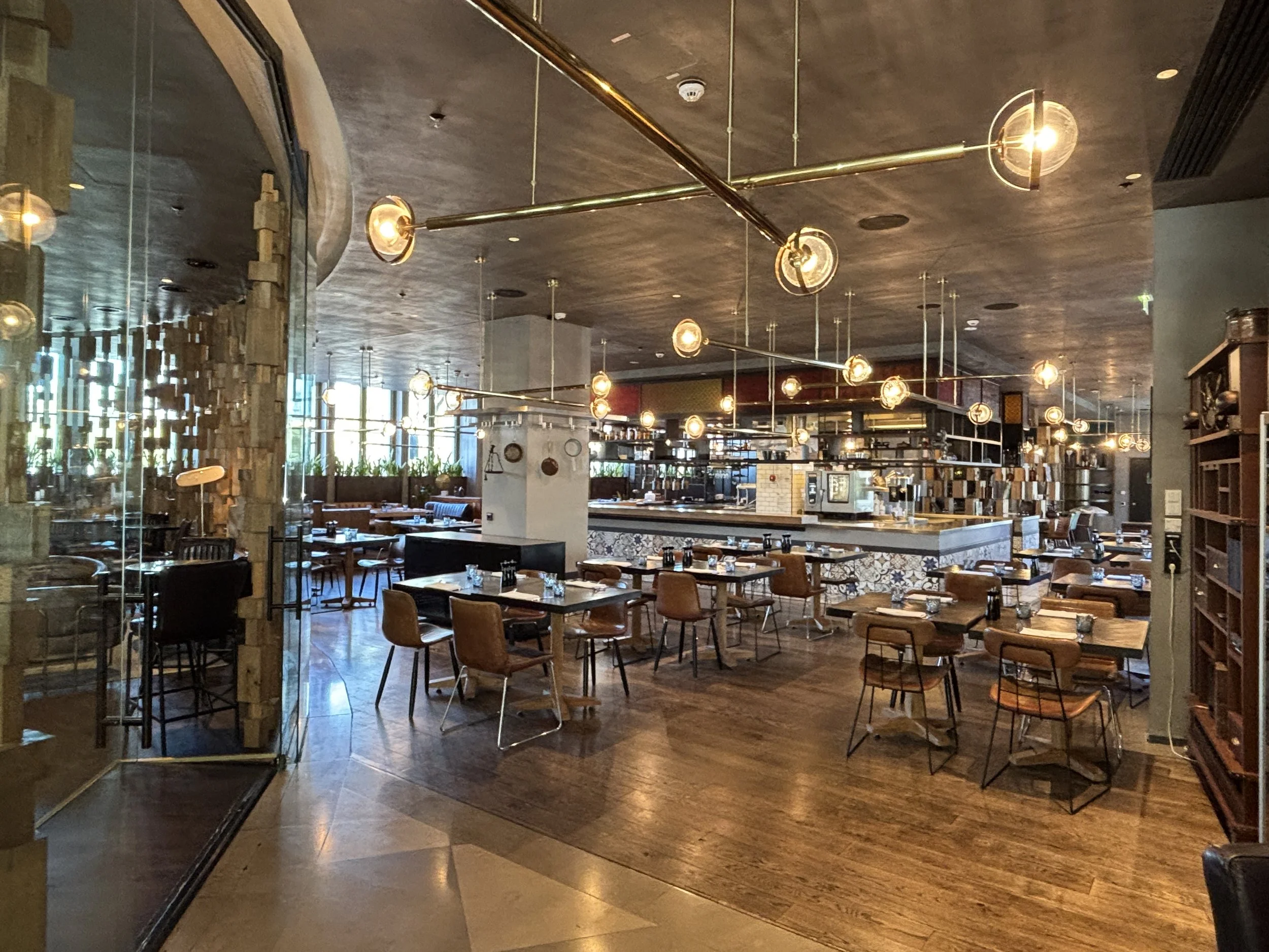
A couple of other details I liked in the lobby area:
A snacks and water station which guests can access at all hours. Even if the hotel staff renew the bottles of mineral water in the room, its location on the way to the lifts makes for a very convenient stopping point to get some refreshments on the way to and from the rooms. Btw, note also how the hotel decor takes into account the postal history of the place.
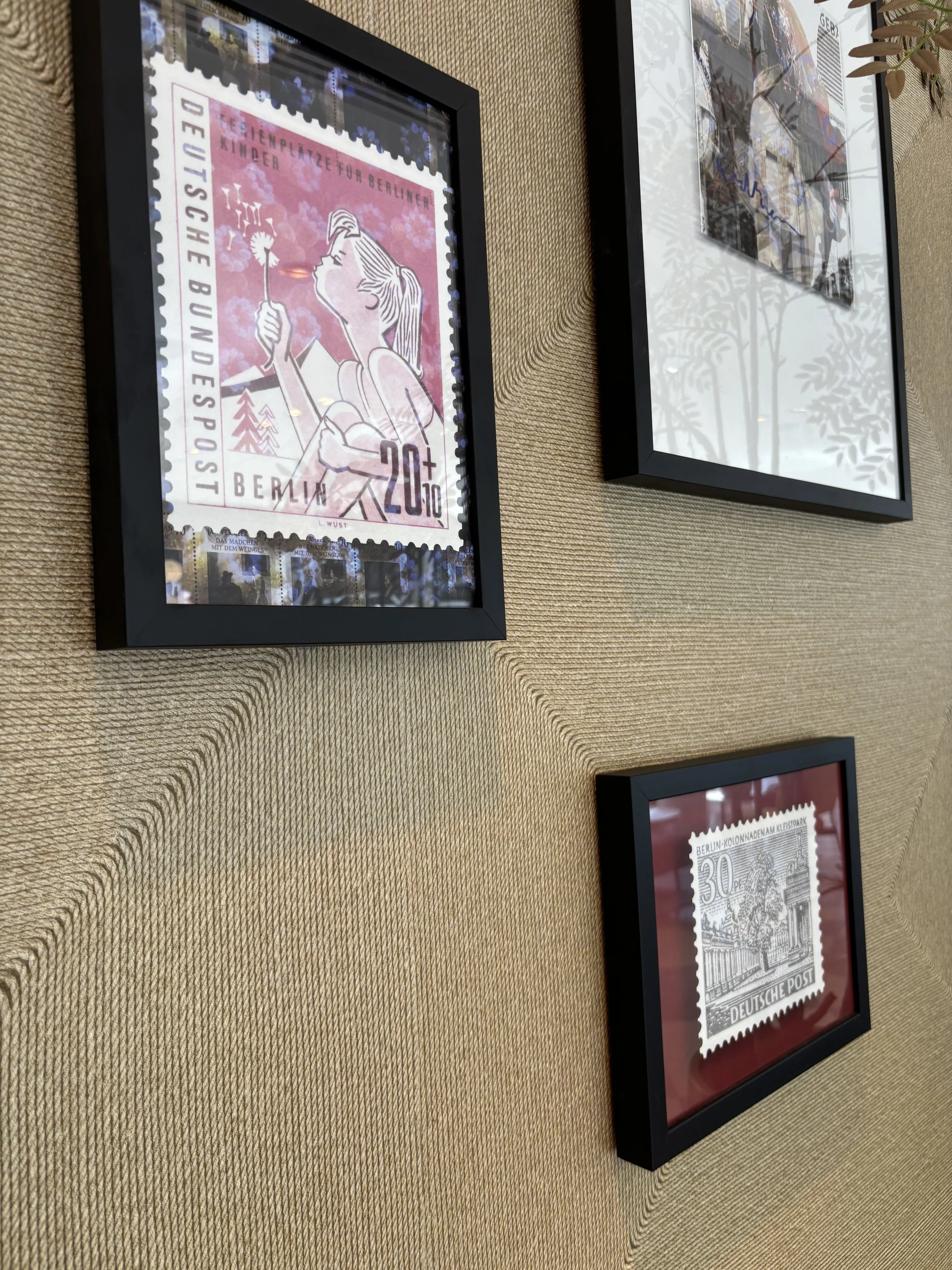
When you come into The Posthouse you will notice a bicycle parking. These bicycles are actually available for rental by the day, you just need to ask at the reception, here below you can see the prices.
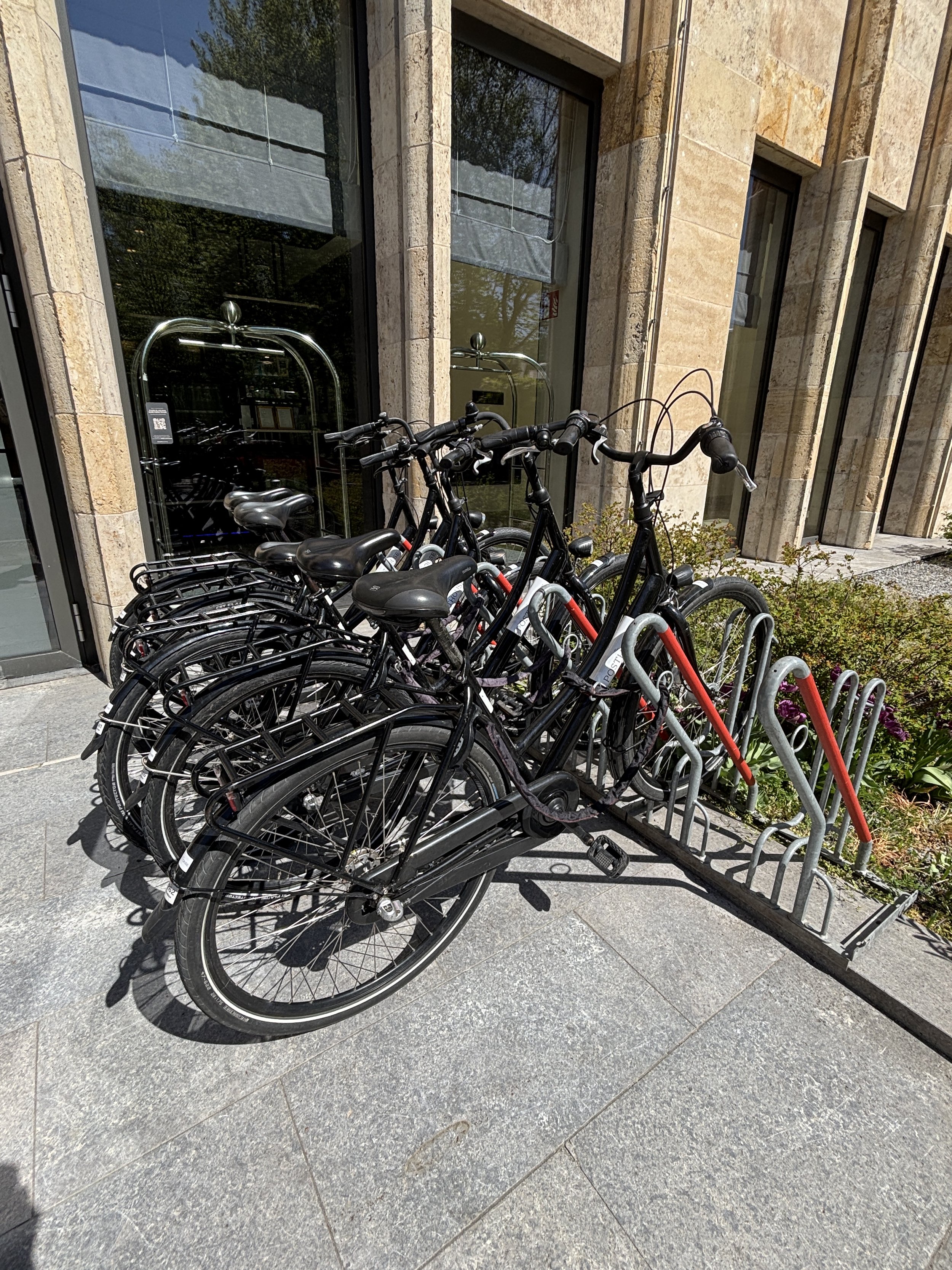
So, what’s our take: this hotel offers also amazing value for any visitor to Berlin, whether for business or leisure. As was the case of the Radisson Collection Berlin, The Posthouse Berlin Postadamer Platz offers and amazing combination of modern, spacious and pleasant facilities, impeccable service and prices that are truly hard to believe for what you get!
What to do and what to see in Baku and around
For many years, Azerbaijan barely registered on most travellers' minds, but not anymore.
Oil and gas wealth is undoubtedly behind this transformation. The energy resources that turned Baku into one of the largest cities in the Russian Empire, first, and the Soviet Union later, have also underpinned a rather comprehensive urban transformation programme in the last decade.
The skyline of futuristic towers and meticulously restored medieval streets are its most visible sign, but so is a newly found confidence and pride in the country’s ancestral Azeri culture.
Not unlike the Gulf monarchies further south, Azerbaijan has also backed up these public investment programmes with the organization of big-ticket international events such as the Formula 1 championship, COP29 in 2024 and many other international conferences.
And the strategy appears to be working. During this trip to Azerbaijan I came across a fair number of tourists from both east and west that have come to explore the so-called “Land of Fire”.
Not only is Baku no longer an exotic destination for adventurous travellers, its immediate hinterland, which includes a diversity of landscapes ranging from snowy mountain ranges to deserts dotted with natural and archaeological wonders, is starting to get more attention too.
However, and this is also part of the attractive, tourism in Azerbaijan is still far from being a massive affair and you can still get the sense of exploring a truly off the radar destination.
In this post I will try to summarize my experience traveling in Azerbaijan and visiting also a couple of other sites that are within a reasonable driving distance of Baku:
Old and new Baku
The ski resort of Shahdag, in the Caucasus Mountains
The Ancient petroglyphs of Gobustan, a UNESCO World Heritage Site.
I am aware that there is another major site of interest just outside Baku: the mud volcanoes, which are clustered around two different sites, one to the north of the city, the other to the south, near the Gobustan archaeological park, actually.
Due to logistics and schedules, it was not possible for me to visit them this time and include them in this itinerary, but if you have the chance I would definitely encourage you to check them out. I have them in my Baku to-do list for my next visit.
So, now let’s dive into what is to do and to see in Baku and its broader vicinity!
This post may contain affiliate links. If you book or buy something through them, I earn a small commission, at no extra cost to you. It's one of the ways I keep Places of Charm going. Thank you for your support.
The Flame Towers and Baku viewpoint
It was a bit rainy when I visited, but still a pretty view!
The Flame Towers have become the symbol of modern Baku since they were completed in 2012.
These three curvy skyscrapers are certainly beautiful and original in their looks. It’s hard to miss them from wherever you are in the city, because they occupy a privileged position on top of a hill overlooking the sea.
However, they are mostly about the “continent” rather than the content. In fact, there is little inside them for the regular visitor, since they contain offices, luxury apartments and the Fairmont five-star hotel.
I think it is still worth going to see them from up close, though, not just because of the architecture, but also because the park next to them, the aptly named “Highland Park” offers some really nice views of the city.
The park has also has several interesting monuments within its grounds.
These are of a patriotic nature, such as the “Martyr’s Lane”, which is a memorial to those that died during the last turbulent months of Soviet rule as well as during the long-going conflict with Armenia (which is still not yet fully resolved at the time of writing these lines, even if Azeri forces managed to get control of the disputed Nagorno-Karabakh area in 2023). The park has also monuments dedicated to the Turkish-Azeri friendship (picture below) and to the British troops that were posted in Baku after WW1.
Baku Central Park and Taza Pir Mosque
Right to the northwest of the Old Town is the Central Park and within it is the Taza Pir Mosque (“Təzəpir məscidi”), which is the main muslim religious center in Baku. The mosque was built in the early 20th C. and was restored in the early 2000s. The park itself is quiet a large open space with a bit of incline which has been solved by having several subtly layered terraces.
You have some nice views of the Flame Towers from here and the outer wall of the old town is within walking distance, all downhill. To get there you pass several streets that, unlike the old town, have not (yet) been renovated, so you can get an idea of how things may have looked like just a few decades back in time.
A tour of the Old Town of Baku
The access to the old town of Baku near the "Icherisheher metro station
A must in any trip to Baku is a walk throught the old town or “Icherisheher” (İçərişəhər) in Azeri.
The old town of Baku is a UNESCO World Heritage site and its origins are very ancient (the place was inhabited already in prehistoric times). Its walls and architectural ensemble appear to be in a great preservation state, although you can tell it has also been object of rather extensive restoration project (a little bit like is the case of Al Balad, in Jeddah, Saudi Arabia, which we described on this post, as well).
The result is a very neat and orderly neighbourhood (perhaps even a bit too aseptic at times!), which makes for quite a relaxed walk around.
I don’t know if we picked up a particularly quiet day, but the place was pretty quiet when we visited it. Nevertheless, it’s refreshing to visit a major historical city center that is not overrun by tourists nowadays! There are also quite a few souvenir shops but you don’t get the feel of overcommercialization you see in other capitals.

One of the highlights of Baku’s old town is the Maiden Tower (Qız Qalası), a round 29-meter tall stone tower with a view point at the top. The current construction is medieval, but it looks like there has been some sort of tower at this spot for thousands of years and archaeologists can not agree as to the original purpose, whether it was religious or military.
All of this is explained as you climb up the tower (warning: it is done through a rather narrow staircase), as each floor is arranged a bit like a little museum hall, each explaining different aspects of the tower’s and city’s history.
But the big prize is climbing all the way to the top to enjoy the 360º views of the city!
A curious fact about Baku is that it has a fleet of London-style black cabs. They were, in fact, imported from England around 2011! (although the Bolt ride-hailing service is also available in Baku)
The taxis are not apparently the only bout of anglophilia in the streets of Baku, since I managed to spot at least one red British-style phone booth!
If you are looking something with a bit more of a local flavour, don’t worry, you will find plenty of these too!
Besides the medieval part of the city, Baku is also endowed with a modern downtown which is legacy from its time as an oil boomtown in the early 20th C.
The oil business made of Baku one of the top three cities in the whole Russian Empire and this shows in the grand architecture of parts of its centre.
This part of the city has majestic buildings in the European style, with broad straight avenues and tree-lined boulevards with shops and cafés.
There are also quite a few broad squares which act as public recreational areas and there is, of course, no shortage of statues and fountains.
The public spaces in this part of the city are also kept meticulously clean and orderly.
The Caspian sea promenade
Baku is a seaside city, even if the Caspian could be technically considered a lake, since it is fully enclosed. In practical terms it doesn’t matter, because the city has a long seaside promenade, complete with a number of piers and several contemporary architectural landmarks.
The latter include the Crescent Hotel, which is the doughnut-shaped building visible in the picture above (part of a larger Korean-designed development that includes also a mall), and the National Carpet Museum, depicted below (I didn’t visit it partly because of time constraints, partly because I am not really into carpets, but this is one of the traditional crafts of Azerbaijan, so maybe worth visiting if it is your thing!).
I must say that, despite being right by the water, Baku doesn’t seem to be a “beach city” in the way that, let’s say, Barcelona or Nice are.
The Caspian waters right by the promenade didn’t, actually, look very inviting and, I guess the proximity of oil extraction areas, both onshore and offshore but not far from the coast, has something to do with it. However, we were told by locals that there are some good areas for bathing in the peninsula right to the east and north of the city.
In any case, a walk onto the pier is totally recomended as it will give you an additional view of the city skyline from the water and allow you to enjoy the sea breeze.
Visiting the Heydar Aliyev Center
The Heydar Aliyev Center is the other must-visit architectural landmark in Baku.
This iconic building, the work of the late renowned architect Zaha Hadid, is part museum, part cultural centre, part conference venue. It was designed to become a symbol of the city and to represent the modernity of independent Azerbaijan, with an instantly recognizable tangible symbol.
One of the defining characteristics of the Heydar Aliyev Center is the fact that it does not have a single straight line. This gives it an appearance of dynamism and weightlessness despite being a really massive building! It is also located on top of a small hill with wide open spaces on all sides, which makes it easier to appreciate its uniqueness and the genius of its design.
While its outer appearance makes the Heydar Aliyev Center already worth the visit, its inside is also quite interesting.
First there is the architectural part, as well, with the internal spaces organized in a rather unconventional way. But the center houses also several collections and exhibits, ranging from art to the history of Azerbaijan and the life and works of the person that the center is named after, Heydar Aliyev, who ruled Azerbaijan both during the Soviet period and after independence and founded the dinasty that still rules the country).
The collections are quite well presented, even if the topics can be quite eclectic. You may wanna put aside a couple of hours to see them all.
From the Heydar Aliyev Center you can get yet another view of Central Baku.
Where to eat traditional Azeri food in Baku
Qaynana Restaurant
Kichik Qala, Baku
This is a restaurant of Azeri cuisine that is located at the edge of the old town, next to one of the old city gates. If you are looking to sample traditional Azeri food, this is a great choice!
It offers great ambience and large portions of tasty traditional food at reasonable prices.
Don’t be surprised if there is queue to get in, though. It is best to try to book in advance, because this place is popular and has high turnout!
One of the specialities of this place is the freshly baked bread called çörək, baked on the spot in a traditional tandoor clay oven.
You can actually watch the whole process, from the moment they shape the dough to its baking in the tandoor and, then, the moment when it comes out of the oven and is brought straight to the tables, warm and ready to eat.
Here below you can see the final results, it is an amazingly tasty bread, but take it easy, because it is tempting to eat lots of it without even noticing. I would recommend leaving some space for the other specialities the restaurant has to offer.
The signature dish I recommend tasting is Shah Plov, which consists of rice cooked inside this type of dough cake you can see depicted below, which is called kazmag, accompanied by lamb and dried fruit stew (chestnuts or plums with pomegranate). But this is not all…
…because of the highlights of a meal at Qaynana is the moment the waiter brings the Shah Plov to the table and cuts the kazmag open with a knife. Its sides fall perfectly in different directions, leaving the warm rice exposed and ready to be mixed with the stew.
It’s a really substantious and filling dish, you have been warned!
Where to stay in Baku
Hyatt Regency Baku
You can go wrong with this hotel. It is solid, modern hotel located in one of the city’s main avenues (not exactly next to the old town, but just a short Bolt ride away or a 25min walk if you feel like it).
The rooms are big (and the bathroom as well), staff were very helpful throughout and breakfast was really amazing, with lots of different local specialities.
Perhaps just a seasonal thing, but you can get really good rates for five-star hotels like this one in Baku!
Excursions around Baku
So, now that we have checked the key hotspots in Baku, it is time to see a bit of the Azeri countryside!
On this trip I describe two such excursions:
To the ski resort of Shahdag (some 2.5-3h from Baku by car to the northwest)
A visit to the rock art of Gobustan (1h by car towards the south)
Shahdag, to be fair, is a bit far for a one day trip, so I recommend spending one or several nights there, and will provide some recommendations in this regard. The excursion to the Gobustan Rock Art can be done as a day or even half a day trip from Baku.
To both places I travelled with a local driver that we hired in Baku through recommendations of locals, but you can find tours and excursions online to these places as well.
Before getting to destination, though, if you have the chance I suggest stopping at any of the many roadside produce shops that you find throughout Azerbaijan.
This particular shop, on the road between Baku and Shahdag was all about apples (btw, if you are into apples, do not miss this post about Mooma, the “apple paradise” in Catalonia!)
There are apples of all colours and shapes, as well as derivative products. The one that I found it particularly interesting, since I have not seen it anywhere else outside of Azerbaijan are these circles of different colours (red, brown, green) that you can see in the pictures above and below.
These are “lavashana”, a traditional Azerbaijani (and broader South Caucasus) which are round panes made of dried plum or apple paste. They are eaten as dried fruit snacks. You literally snatch little portions of the circle with your fingers as you eat it.
Skiing in Azerbaijan: the Shahdag ski resort
The Shahdag ski resort turned out to be an amazing find. It is located to the northwest of Baku, very close to the Russian border (you can actually see Russia from the top of the slopes).
The skiing domain has some 37 slopes ranging from 1,435 to 2,552 metres of altitude and even at the end of the season, as it was the case of our visit, you can expect really good quality snow here.
Shahdag has several things going for it:
The natural setting, which is truly magnificent.
The skiing area is quite compact, with pretty much all the slopes converging at the hotel area.
There are hardly any crowds
Prices, from the forfaits and materiel rentals to the hotels, even the most upmarket ones, have pretty reasonable prices if you compare them with what the equivalents would cost in Europe!
It is also worth noting that Shahdag is quite a young resort, which only opened in 2012.
It is also a sort of flagship project for the Azerbaijan tourism industry, in fact the country’s president, President Ilham Aliyev laid out the first stone of the project back in 2009.
You can tell a huge amount of investment has gone into its development because the equipment and infrastructure is all pretty new. Shahdag is, in fact, an ongoing project with plans to continue expanding it.
Shahdag is also a greenfield project. The centerpiece of the resort and, pretty much its only infrastructure, is the hotel cluster, which is located right at the bottom of the slopes. There is practically nothing else around.
This makes it really convenient if you are staying at one of the hotels (more on this below), but means you are virtually in an island in the middle of the mountains.
Where to stay in Shadagh
Park Chalet, Shahdag, Autograph Collection
This is one of two five-star hotels in Shahdag (there are four hotels and one apartment block in total in the resort as of 2026), both Marriott franchises and quite similar in style.
The picture above depicts the “Pik Palace, Shahdag, Autograph Collection”, as seen from the “Park Chalet, Shahdag, Autograph Collection”, where we stayed. Perhaps the Pik Palace, Shahdag, Autograph Collection is a bit more upmarket, but the differences are marginal, I think.
Park Palace, Shahdag, Autograph Collection is a rather stylish hotel, a modern take on the traditional Alpine aesthetics. You can get an idea of how the rooms look like in the pictures below.
When it comes to food, the good news is that each of the two Marriott hotels has a pretty good restaurant. The food is fresh and tasty. It is perfect if you like grilled meats, because they cook them on a proper charcoal barbecue in plain sight.
The bad news is that there is very little else around. There are a couple more restaurants in the resort’s small commercial area and that’s it. There are no supermarkets or produce shops, nothing. And the restaurants can be a bit pricey, so if you spend a few days at the resort it starts to add up.
As mentioned earlier, this being the Caucasus, grilled meats (“shashlik”), served with the corresponding sides, are the signature speciality.
The hotel has also a well-equipped spa area with an indoor swimming pool and a gym.
Another nice feature of the hotel is that it is located right in front of the starting point of most of the ski lifts and gondolas going up the mountain, so you can just walk from your room to the slopes in a matter of minutes!
Visiting the Gobustan Rock Art Cultural Landscape
And from the mountains to the desert! Because the other outdoor area I visited near in Azerbaijan is the Gobustan Rock Art Cultural Landscape, which is also a UNESCO World Heritage Site.
The contrast with the mountains of Shadagh is sharp, the Gobustan rock art area is located in a very arid region some 60km south of Baku, where the flatlands are punctuated by a series of hills.
There are some mud volcanoes nearby but they were closed at the time of our visit, so I am not commenting on them in this post, but if you have the chance, it may be a good idea to include them in the itinerary!
It is on these ridges where the rock art is found. In fact, it is spread over a rather large area, but for regular visitors the core is Boyukdash Mountain, which is where some of the most impressive rock carvings and the museum and visitor center are located.
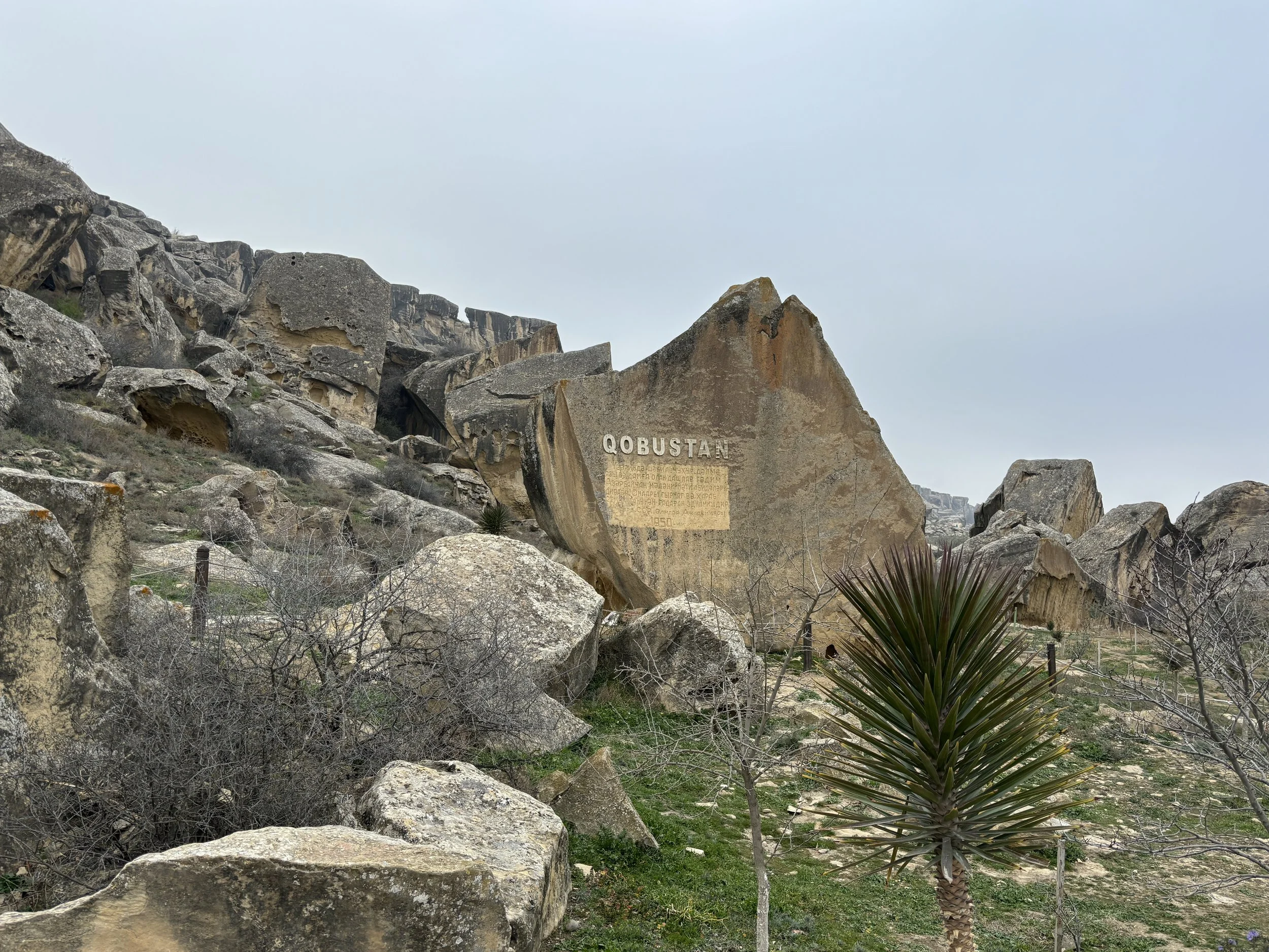
The Gobustan National Historical-Artistic Preserve Museum is quite modern (you spot the trend here!). It was inaugurated in 2011 and acts also as a visitor’s center for the main cluster of petroglyphs.
It does a good job explaining, through a rather immersive experience, the history of the area and the different rock carvings found, which stretch all the way back to the Paleolithic era 40,000 years ago, although some are as “recent” as the Middle Ages.
The visit then continues outside to see the rock art first hand. It is very accessible and you don’t need to be a specialist to see it, because it is all over the place. The petroglyphs are really diverse in their shapes and topics and depict humans, animals and things, like boats, for example (several thousand years ago, the Gobustan area was much closer to the Caspian sea and much greener).
The natural setting is also quite impressive from the point of view of the landscape. The hills where the carvings are located look a bit like a sort of gigantic disassembled lego set, with huge rocks and boulders laying out on top of each other in a rather chaotic manner.
So, even if you only have half a day free after visiting central Baku this can be quite an interesting excursion to do!
Getting to and from Azerbaijan and some practical tips
Finally a word about getting to Azerbaijan plus the usual practicalities to take into account.
It’s visa free for most countries (or e-visa on arrival to be more accurate), including the EU, the US and the UK.
By the way, the following is possibly only relevant to a very small subset of travellers, but, at the time of my visit and I think it is still the case well into 2026, it was only possible to enter Azerbaijan by air, its land borders having been closed since the Covid pandemic!
In any case, Baku airport is getting increasingly well connected with many points in Europe and the Middle East and it has become quite an accessible destination.
Again, the wonders of oil-funded investment in state-of-the-infrastructure become visible at the airport, which is a really modern and convenient facility (although there is still a small Soviet-era terminal in service, which is used by a small number of flights).
By the way, the best way to get to and from the airport, and to move around more generally, is to get an e-sim that works locally and use Bolt, which is the top Western ride-hailing app in Azerbaijan. Prices can be very competitive, a ride from the airport into downtown costs the equivalent of €7 (US$8) and within Baku’s downtown it can be just a couple of euros (or dollars).
By the way, Russian is still the main foreign language for most Azeris, although the younger generation tends to know at least some basic English.
It’s also a good idea to change a bit of cash upon arrival too, even if credit cards are accepted in most places.
Two hours from Dubai, a World away: visiting Musandam on the Strait of Hormuz
Now that the Strait of Hormuz is the centre of the global attention for all the wrong reasons, it is perhaps a good time to remember that its southern side is one of the most truly amazing destinations you can visit anywhere in the Middle East.
The Musandam Peninsula, an Omani exclave which protrudes into the sea giving the Strait of Hormuz its curvy, contorted shape, is a land of majestic desert fjords and dramatic vertical cliffs laid out in an extremely intricate pattern.
It is hard to believe that this area, with almost no flat land or roads of any type and populated only by some fishermen which move around only by sea, is located just a couple of hours drive from the buzz of Dubai.
If you are based in Dubai, the Musandam Peninsula is perhaps the top thing to do if you are looking for places to spend a weekend somewhere out of the city. In fact, traveling to Musandam from Dubai is like stepping into a whole other world entirely!
Now, what I am going to explain here refers to a visit made before the military conflict that flared up in the Gulf in early 2026. So, a word of caution here, since I have no idea how the war may have affected the Musandam Peninsula and whether it is advisable or even possible to visit during times of conflict.
In any case, the natural attractive of this area is there to stay, so hopefully these lines about how to visit the Musandam Peninsula and what to do there will remain relevant regardless of when the fighting ends.
This post may contain affiliate links. If you book or buy something through them, I earn a small commission, at no extra cost to you. It's one of the ways I keep Places of Charm going. Thank you for your support.
In an article I wrote about the area in 2023, was titled “The Norway of Arabia” and while this comparison helps frame the type of landscapes and environment Musandam offers, I think it is worth elaborating a bit more on this label and sharing some more details of this amazing and yet relatively unknown gem of a destination.
Khasab, the gateway to the Musandam Peninsula
How to get to the Musandam Peninsula
First of all some important logistic considerations:
Musandam is an Omani exclave, that is one piece of the territory of the Sultanate of Oman which is detached from the mainland and wedged between the UAE and the Strait of Hormuz. Therefore, if you travel there by land, you will have to clear Omani customs and immigration.
Now, the good news is, Oman is a relatively open country and citizens of many countries (including the EU, UK and US) can simply get a visa at the border, a process that involves just filing a form and paying a small fee.
However, it is still an international border and entry conditions may change, so check in advance on the websites of the Omani government and the travel advisory section of the embassy or consulate of your own country!
Another important consideration:
If you are traveling on a car rented in the UAE (as was our case), you need to make sure the terms and conditions of your rental allow for entry into Oman. Many car rental companies in Dubai or Abu Dhabi will do that for an extra fee. So, check it is possible before the booking and then ask for it again when picking up the vehicle.
Also, in addition to obtaining permission from the car rental company to take the car out of the UAE, you also need to take into account that Oman requires all vehicles entering its territory to have an insurance policy that covers Omani territory. Some car rental companies based in the UAE offer this, but, in such case, make sure you get all the papers and print them out, because they are going to be checked at the border and they are pretty strict with this.
The alternative is to contract an ad-hoc insurance policy for the duration of your Musandam journey right at the border. An Omani insurance company has a booth right by the border post just for this purpose. The process takes like 5min and it requires filing up a form and paying the insurance fee (at the time it was something like $60 for a 2-3 day period, but this may be subject to change).
In our case, while we had contracted the international insurance upon picking up the car in the UAE, there was, apparently, a mistake in the way it had been processed, so the border guards wouldn’t let the car in unless a new insurance policy was contracted at the local booth, which we did (we later cleared that out and got refunded by the car rental firm since it had been them messing up the paperwork).
The distance from downtown Dubai to the Oman border crossing is about 150km (90 miles) and to Khasab is about 200km (120 miles). It is nearly all through motorway, except for a short stretch between Ras Al Khaimah and the border in which it switches to a two lane road which crosses and industrial area. So, it takes a couple of hours to the border, and to that you should add another 30-40 minutes already inside Omani territory to Khasab.
You must also factor in some time for the border crossing, because it is necessary to stop, get off the car and clear immigration at the customs house. The time requirement depends on the amount of people and the “complexity” of your paperwork. On the way in we spend nearly an hour, but this is because we arrived just after several buses full of tourists (there are also some organized tours from the UAE going to Musandam) and we had to sort out the car insurance paperwork. On the way out it took us less than 10 minutes.
Roads are good. On the UAE side, you are almost all the time on a well-maintained, multi-lane motorway. On the Omani side it is a two-lane road, but it is also well-built, well-maintained and quite broad. So, as long as you take care of the border formalities, Musandam is pretty accessible.
You can also travel to Musandam by air, since there is also a small local airport. However, as far as I am aware of, it only has a few domestic flights to the Omani capital, Muscat.
Spending the night in Khasab
Fjord cruise departures are usually at 10am, so, while you could technically make it in one go from Dubai if waking up very early in the morning, I would highly recommend spending the night before the fjord tour in Khasab.
Where to stay in Khasab
Now, when it comes to choices, Khasab is nothing like the apparently almost endless supply you find across the border in the UAE. And this is a great part of what confers to Musandam such a sense of uniqueness and, without being luxurious in the material sense, of exclusivity, as well!
There are basically two major modern establishments in Khasab and both are managed by the same company, Omani hotel group Atana, the Atana Khasab Hotel, which is located in a small hill overlooking the bay of Khasab, and the Atana Musandam Resort, which is located in downtown by the port.
The latter markets itself as somehow more upmarket (perhaps on account of its slightly more central location), but, from the descriptions I have seen I think they are both pretty similar, in the four-star range. We stayed at the Atana Khasab Hotel and had a very good experience!
This, was at least, the situation when it comes to accommodation in Khasab at the time of my visit. Since things change really fast in this region, it is very possible, that some new hotels have opened since. In fact, and unless there is a deliberate policy of limiting visitor numbers, I wouldn’t be surprised if this is what ends up happening, since the appeal of the place is undeniable and it is only a matter of time until the word spreads out. I hope, if this ends up being the case, that Musandam is able to preserve its charm!
Atana Khasab Hotel
This modern hotel is located right on the main and only road leading from the UAE border into Khasab. It is located a couple of kilometres from the port and it has some very nice pool-side views of the bay of Khasab and the waters around the Musandam Peninsula. it has plenty of space to park your car, btw.
The facilities are quite modern and spacious and some rooms have direct access to the terrace.
We had dinner and breakfast at the terrace of the Atana Khasab Hotel and it was pretty good overall. The menu contains also quite a few local specialities, which is a nice touch (the um ali and mahalabia they serve for dessert are particularly tasty!)
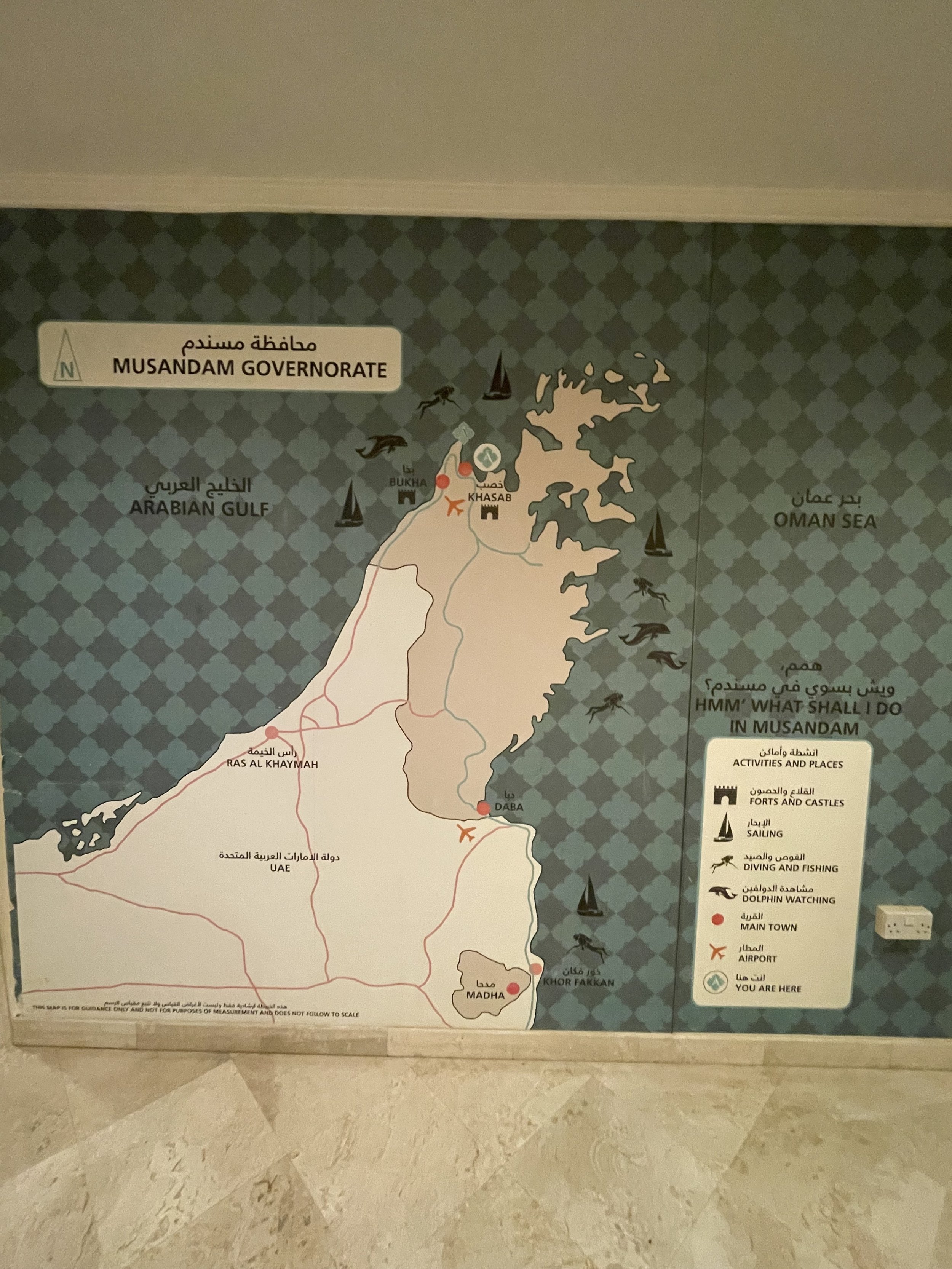
The hotel has also quite a few outdoor spaces, including part of the dining area, which is quite nice considering that the weather in this part of the world is quite balmy in the mornings and evenings.
My description of the Atana Khasab Hotel wouldn’t be complete without a word of recognition for its staff, and particularly for Rasheed, the hotel’s restaurant manager, who went above and beyond to return us an item of great personal value that we inadvertently left behind at the hotel. Rasheed not only took care of finding it, but even drove several hundred kilometers into the UAE to deliver it in person to the resort where we were staying it at the time!
“This is Omani hospitality”, he simply said.
So, I am taking this opportunity to express again my huge gratitude for this very kind act!
What to do in Musandam?
While the base for any Musandam Peninsula excursion is Khasab, which is the main town in the exclave, there is little to see in the town itself, aside from a 16thC. Portuguese fort (Portugal controlled the area around the Strait of Hormuz for quite some time in the 16th-17th C.).
The rest of the town is pretty unremarkable. In fact, it is quite a small place. There is a sort of “downtown” with some shops and wholesale outlets near the port, but the population is pretty scattered otherwise.
The main thing to do in Musandam and, basically, the whole point of coming here is to enjoy a cruise along the fjords of the peninsula.
To do so, it is necessary to book one of the many day cruises that leave Khasab port in the morning. You can find quite a few options on Viator or Getyourguide.
We booked this tour of the Musandam fjords, which costs around $50 (€45) per person and the experience was great! I will describe it in more detail right below.
My impression is that most tours offer a pretty similar service, though: pick up in the morning at your hotel, drive to the port for a 10am departure. Then you spend around 6 hours at sea, returning in the afternoon at around 4pm or so.
The boats are of the traditional dhow type, although they are somehow modernized. They have a broad open deck where you spend most of the time. There is a protective canvas that is rolled out over it to protect from the sun as well as a cabin by the stern. The boat is also fitted with toilets, btw.
These boats are large enough to carry perhaps a couple dozen people onboard, but it is rare to see them full. In our case it was just around ten people and there was plenty of space to move around. It all felt like going on a private yacht.
The crew were also very nice. They took good care of us throughout the trip and you could see how they even strived to get us were the dolphins were!
Our route took us on a loop around the Musandam’s main fjord, which is located just to the west of Khasab. We started on the south side, getting past Telegraph Island (a little rocky outcrop which once housed a rely post of the British telegraph linking London to India) to the very bottom of the fjord and then back along its north side.
We did a couple of stops, each lasting about an hour or so, during which the crew anchors the boat next to shore and it is possible to swim. The crew also lends you googles and fins to do some snorkelling, which is quite an experience in these waters. There are coral reefs, plenty of fish and some interesting creatures, such as sea cucumbers and huge sea urchins!
Lunch is included in the experience and it is served on deck. It consisted of Arabian and Indian-style food, different types of roasted meat and vegetables with rice and different types of accompanying sauces and condiments plus flat bread. It was pretty tasty and abundant. It is self-service. The crew lays out the different foods and you take as much as you want. Drinks are also served.
During the trip you see several other dhows following roughly the same itinerary, but the distances are so big that it never feels crowded or “touristy”, even if it is obviously a touristy, packaged activity.
In fact, one of the most awesome things of this experience is the feeling of smallness in this rock and water landscape (there is not a single tree or even a little speck of greenery on sight!).
We also sailed past some settlements which can only be reached by sea. It is incredible to think this place is just a couple of hours drive from the Dubai Mall. It feels like a different planet!
One of the highlights of the tour is the dolphin spotting. At the start of the cruise I was giving a very low chance to this happening, but, actually we saw the first dolphins barely 15 minutes into the trip and then we spotted many more at different points during our journey!
Here are some more pictures of the secluded, mineral world that is the Musandam Peninsula.
This is a really rugged area, with some peaks towering nearly 800 meters directly over the water!
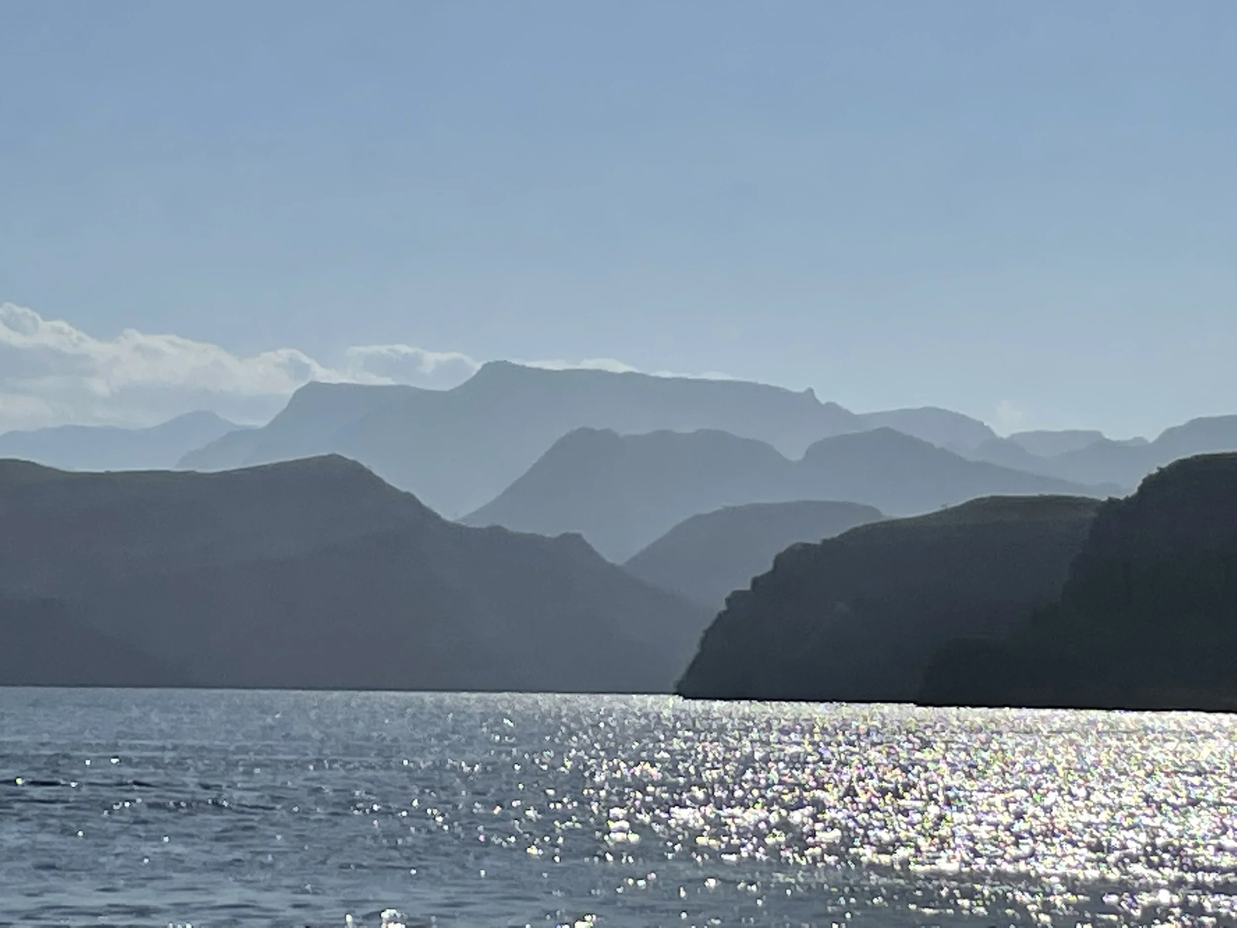
So, after returning to port, we just left Musandam for the UAE again, but you may want to consider staying for one or two more days to get more rest or simply to explore a bit more of the Musandam Governorate.
You can take the world’s longest zipline (1,800 metres), which has one of its ends right next to the Atana Khasab Hotel, or you can try to explore a bit of the interior of the exclave, which has some really high mountains reaching above 2,000 meters, although I don’t know how accessible those tracks are.
In any case, a day sailing through the waters of the Musandam Peninsula is an amazing, unforgettable experience and one I would recommend to anyone visiting this part of the world!
Further reading
If you are traveling in the area of planning to, you may want to check also my posts about:
24 Hours in Amman: best things to see and to do
Amman, the capital city of Jordan, often gets overlooked as a tourist destination.
To be fair, Jordan’s most renowned tourist attractions are elsewhere: Petra, the Dead Sea, the Gulf of Aqaba…The country’s location, in an area of near-constant geopolitical turmoil, doesn’t help and you can also add to that the fact that, Jordan, as a country, lacks the budgets and resources which other countries in the Middle East are investing to become major tourism and business entrepôts.
However, and while it does not have huge landmarks, Amman is not lacking its unique charm and, most of all, authenticity (yes, I know this word is cliché, but if you have visited other cities in the Middle East and then you go to Amman, you will understand what I mean). There’s, in fact, more than enough to keep you going for a full intense day of sightseeing or two, if you take things at a more leisurely pace.
In my case, it was a short 24 hour stopover with an overnight. My hotel was rather central, so this allowed me to visit the key areas of the center on foot during the day (Note: it was November, so the heat was very bearable, I guess it’s different in summer).
Perhaps after Ryanair announced a significant ramp up of its flights between Amman and Europe, the city is going to become a lot more popular with tourists.
Let’s see what I think are the top things to do and to see in Amman if you there on a short visit!
Arriving in Jordan: some practical informations
Although I found Jordan quite an easy country to move through, it’s important to prepare a bit before going.
Visa: citizens of many countries (including the EU and US) can get a visa on arrival. It costs something like US$50 and you can get it at the airport. There is a counter at the airport where they will take payment (credit cards accepted).
There is also a Jordanian government web portal where you can prefill the form, but in my case it turned out not to work properly.
Currency: although cards are accepted in many places, I found it convenient, particularly since I arrived in the middle of the night, to get some cash at the airport. This proved to be handy latter during the day.
Moving around:
Queen Alia International Airport (a beautiful and very modern airport, btw) is a bit far from the center, some 40km or so. There are some buses, but the taxis are not too expensive, so I opted for this option. Both Uber and its Middle Eastern equivalent, Careem, work in Jordan. I think it was a very good decision to use them to optimize travel times.
There is no metro in Amman and public transportation seems a bit difficult to understand if you are not local. In fact, if you stay in the city center and provided you have no problem withe going a bit uphill at timse, you can just walk around, which is what I did.
What I would recommend, though, is getting an e-sim, to be able to orient yourself around and get an Uber or Careem if you need to.
Making sense of Amman: a very hilly city
One thing that you will notice immediately when you are on site is how hilly Amman is (like so many iconic cities it is built on 7 hills!),
In fact, the most buzzing part of the historical center is basically on a narrow stretch of flat space found between several of these hills. And some of the landmarks, like the citadel and Rainbow Street are located on top of them.
For reference, most of what I describe in this post is located within the red square above.
This was the area I moved around in during my visit.
This are is all within walkable distance (although bits of it are quite steep, tbh!)
Top sight: Amman Citadel
If you have time just for one thing in Amman, go to the Citadel! This is the most ancient part of the city, and that’s no small statement. In fact, Amman is one of the oldest continuously inhabited urban settlements in the World!
So, pretty much all Ancient civilizations that the Near East has seen have, at some point or another, left their imprint on the area where the Citadel is now located.
Curious fact: throughout most of Classic Antiquity, from the Hellenistic period (around 3rd C BC to the early Middle Ages, Amman was known as “Philadelphia”!
Most of what you see today on the Citadel is actually from the Roman and Umayyad periods.
But even if you are not that interested in the Ancient history, the Citadel will give you some of the best views of the modern city of Amman (including the massive flag which has become something of a landmark)!
The Citadel occupies the whole top of an “L-shaped” hill with majestic views on all sides.
Besides the different layers of Ancient ruins, it also contains a small archaeological museum (more on this soon.
The Citadel perimeter is enclosed by a fence, and there it is necessary to pay a small entry fee to get in.
There are also some services, including a café and a shop.
There are buses that go up to the Citadel, although it is also perfectly possible to walk (it’s a bit steep, though!)
I would advise allocating a couple of hours to visit the Citadel, since there are quite a few points of interest, including the, rather impressive, remains of the temple of Hercules and a palace complex dating back to the early Islamic period.
To walk through the ruins I used a new app which I had been offered to try, GPSmyCity, which works essentially like an audioguide on your phone, with several landmarks explained (it works in quite a few cities around the world, btw, not just in Jordan).
There is also a small archaeological museum. Quite old school and, to be honest, sometimes a bit cluttered, trying to explain the whole history of mankind in such a small space! .Given the richness of the archaeological heritage in Jordan, it had quite a few remarkable pieces, though!
From the Citadel it is possible to spot the next big landmark on our Amman sightseeing list: the Roman theatre!
Amman’s Roman Theater
As you may have seen in the picture above, the Roman theatre is just downhill from the Citadel, actually built on the sides of the opposite hill.
It is possible to walk down a few alleyways and get to the theatre in a few minutes. The biggest challenge is crossing the major avenue that cuts through the middle of Amman, since the traffic is nonstop (I finally just followed a group of locals that just forced their way through the traffic, strength in numbers!)
Now, I have been to quite a few Roman theatres (see my post about the Lycian coast), but this one is rather exceptional in two ways:
1) it’s rather good state of conservation/restoration
2) It is sooooo steep, it’s almost vertical! (seriously, look at the pictures below!)
There is a big square in front of the theatre and you can get a good view already from here, but I recommend paying the ticket to get in (it costs the equivalent of a couple of dollars/euros). The view from the top is great (if you don’t maind heights!) and you get the symmetrical view of the Citadel from the opposite hill).
With your entrance ticket you can visit also a small antropological museum located on the wings of the theatre’s base building. Tbh, as a museum is a bit mmmh…don’t expect much, but there are some real life figures representing the different peoples that lived in what it is today Jordan. Spent 10 minutes maximum there.
A walk through Central Amman
After visiting the Citadel and the Roman Theatre I walked a bit through the area around Al-Hashemi Street and its surroundings. This is the valley that lies between three of the city’s hills and it appears to be the historical downtown.
Don’t expect major landmarks here. In fact, I would say it is not even particularly beautiful, BUT it is quite an interesting area that is buzzing with commercial activity.
It is neither old souk experience (in the 1001-nights sense) nor the sanitized modern shopping experience you find in some Gulf countries, it does not even resemble the very touristified Istanbul, but it does have a character of its own.
Jordan is not just a Kingdom, but the monarchy is at the very center of its sense of nationhood. You can see signs of that all over the place.
Here below you can get an idea of how streets look like when you leave the main commercial avenues behind and start climbing uphill through the side streets.
Lunch at Hashem
King Faisal Street, Amman
I went to Hashem for lunch after I saw it popping up repeatedly when researching where to eat in Amman. It didn’t disappoint!
Not only the food was great, but the place has character, staff is efficient and it delivers great value for money.
It is located in a sort of indoors courtyard off one of the main commercial streets and its specialty is Middle Eastern “street food”, that is, several types of hummus (and its derivatives), falafel and the like.
Portions are really big! I ordered hummus, mutabal and falafel and I ended up really full. They also serve the typical flat bread, which is served straight on the table, which is covered with a disposable transparent plastic.
What’s more, I came in expecting I would have to wait a bit, since the place was packed and buzzing, but the staff somehow managed to find me a spot straightaway. The ordering experience is also quite a thing, since you mark on a piece of paper which dishes you wish and in which quantities. The service was also really fast and, upon finishing you pay at a small booth at the exit. Very efficient throughout! As a bonus I also managed to taste the local equivalent of Coca-Cola/Pepsi, called “Matrix”.
The food itself was also great and you can see why this is a place that seems to be a “must-go” for anyone visiting Amman, as the gallery of celebrities on the walls of the restaurant shows.
I would certainly come back!
A walk through Rainbow Street
After such a substantious meal, it was time to get moving again and nothing better to exercise a bit that climbing all the way up to Rainbow Street, another of the areas of note in Amman.
Rainbow Street is at the crest of another hill, just immediately south of downtown, and it is a sort of posh-bohemian area with some cafés and artsy spots. Don’t expect a specific major landmark or some super impressive views here, but it is good for a pleasant stroll along some quiet streets and some coffee.
In this regard, a nice place to stop by is the garden of the Turquoise Mountain Showroom, which showcases artisan handiwork from Afghanistan, Myanmar, Saudi Arabia and other countries.
It also has a nice café with a terrace which offers a space of calm to sit down after all the up and down walking.
Great value hotel in Amman: Shams Alweibdeh Hotel Apartments
Al-Baouneyah St., Amman
I booked this hotel at the very last minute since it offered a good combination of reasonable price, good reviews and proximity (walking distance) to the city centre. It turned out to be a good choice for my overnight stay.
This is a 3-star, so not luxurious, but it delivered in everything it promises. The room was actually quite big, it was more of an apartment, since it has its own kitchen and living room. And everything was pretty clean. The bathroom had toiletries, as well.
I didn’t try the breakfast, so, I can’t comment on that. Staff at reception also help me arrange my airport transfer at approximately the same rate than Uber charges.
The hotel is located in a rather calm residential area on top on, you guess it!, another hill. From here to the downtown sights I previously mentioned is about 15 minutes downhill walk, with some sights of both the urban maze that is Amman and the modern business district, along the way.
48 hours in Nairobi: what to do and what to see
Kenya is one of Africa’s top tourist destinations, however, it’s not really a place known for urban tourism: many visitors just pass through its capital, Nairobi, on their way to the large national parks like Masai Mara, which are further inland.
However, the Kenyan capital should not be overlooked, since it has quite a few interesting things to do and to see, even if you are just stopping there for a couple of days.
In this post I will share some ideas to make the most out of a short stay in Nairobi, based on my own experience during a recent visit.
I did travel there on a business trip, but, nevertheless managed to squeeze in a visit to some of the main sights and taste a bit of the local cuisine.
But before we start, let’s comment on some practical matters to take into account if traveling to Nairobi.
This is by no means an exhaustive list and I must say that my visit was made easier by the fact that my local hosts took good care of me and helped me get around.
My advice is to do proper research and consult multiple sources in addition to this post before planning any activities in or around the city.
Some practical considerations before traveling to Nairobi:
Visas: First of all, bear in mind that while Kenya has visa free travel for citizens of many countries (including, as far as I am aware of, most European ones), you should file something “ETA”, which is an electronic travel form. It costs something like US$30 and it is filed online on the Kenyan government website. It is pretty straightforward, although pretty detailed in the info it asks, such as the exact place of stay, itinerary, flights, etc. I got confirmation on the same morning that I file it, but it is advised to do it with at least a few days in advance, if possible.
Payments / Internet: Kenya is a very digitized country and cards and mobile payments are generally accepted everywhere. It is convenient, however, to have at least a bit of cash with you, for example for tips. It is also pretty much a necessity to get some sort of mobile internet since some services, like the national park fees and museum tickets must be paid online on the government’s website. So, get an e-sim with Kenya coverage!
Safety: my impression is that it is generally safe, although I must say I was a bit cocooned during my visit. In fact, was advised to avoid wandering around alone at night. The one tense situation I saw was when a bunch of guys tried to create an impromptu roadblock on a side street through which some cars were trying to avoid a traffic jam. So, don’t stress too much but be cautious. In terms of health, all tropical precautions apply.
Moving around: Uber operates in Nairobi and it can be quite cheap. The main thoroughfares are pretty well maintained. Now, the problem when moving around the city is the traffic. At times sections of the city center become totally clogged, as in almost no one can’t move and Google Maps shows all red. So, be mindful because travel times may be much longer than they look like in the map.
Nairobi National Park
This is an absolute highlight of any visit to Nairobi and if you have to choose just one thing to see while in town, go for this one!
It is quite amazing, but Nairobi has a vast national park packed with wild animals (giraffes, rhinos, hippos, zebras, lions, hyenas, gazelle, crocs…pretty much all the big African animals, except, I was told, elephants) within walking sight of downtown.
Entrance to the park is controlled and the entrance fee is rather steep (around US$80) but well worth it! I have not been to Masai Mara or the Serengueti, so I can’t really compare.
In fact, I had even entertained the idea of taking one of the day-long excursions to the Maasai Mara out of Nairobi, but after visiting the Nairobi National Park, I simply dropped the idea.
In a short afternoon visit you can actually get most of the safari experience without having to venture too far. In fact, it is actually quite amazing to be able to see giraffes and rhinos in the wild with the backdrop of central Nairobi skyscrapers!
To visit the park you would need to get a way to be driven around, though! I had this sorted by my hosts, so can’t really provide advice on this one.
Next are some of the animals that I could see and photograph during our drive through the Nairobi National Park.
Places to eat in Nairobi:
Restaurant Carnivore
Langata Link Rd, Nairobi, Kenya
https://www.instagram.com/carnivorekenya
This is one of the restaurants of reference in Nairobi and it is located not far from the entrance to the national park.
As the name implies, it specializes in barbecued meat. It is quite an experience to eat here and order the full meat selection. You sit down in an open courtyard and waiters keep coming with large skewers offering cuts of different types of meat that have been cooked in a large open grill by the entrance of the restaurant.
This is your chance to taste exotic delicacies ostrich or crocodile meat, by the way!
The meat comes also with a selection of sides and sauces and the restaurant has also some signature cocktails on offer (ice is made with purified water, as confirmed by staff).
Since this was my first time eating here I was also treated to a nice celebratory song by part of the staff, as well! A rather memorable experience overall.
Karen Blixen House & Museum
Another interesting spot in Nairobi and one that is connected with the origins of the city in the early 20th century, when European farmers started to grow coffee near what was then little more than a small settlement next to the railway line.
Karen Blixen, a Danish writer, and her Swedish husband were two of those coffee farmers. Both moved to Nairobi from Europe just before the First World War and bought a coffee plantation. Blixen subsequently memorialized her experiences in the book “Out of Africa”, which in the 1980s was made into a Hollywood blockbuster movie starring Meryl Streep and Robert Redford.
The house in which Blixen lived all those years has been preserved (as well as some of its grounds) has been turned into a museum and can be visited.
The place, which is located in the district of Lang’ata, is not far from the Giraffe Center (another point of interest I will comment on shortly) and it is actually quite nice, lush and green all around.
As at the national park, there is an entrance fee of around US$10, which can only be paid online on the government website. It includes a guided tour (a tip is expected), which is pretty individualized, in my case since I was on my own (but then I saw couples and small groups also got each their own guided tours).
The house is not large and it doesn’t take much time to see it through (it is not allowed to take pictures inside, but, in any case, the interior is not the original). The visit then moves to a nearby section of the estate where it is still possible to see some of the machinery that was used to process the coffee beans (this came with a little wildlife surprise! - see below).
Karen Blixen Coffee Garden and Cottages
Karen Rd, Nairobi, Kenya
https://karenblixengroup.com/coffee-garden-and-cottages
The visit to Karen Blixen’s house can be completed in less than an hour.
However, if you don’t wish to rush, you can next stop at the Karen Blixen Café, which is a rather posh café, restaurant and hotel with a very nice terrace, located about a kilometre down the road from the Karen Blixen museum (so, despite the name, it is not the same property!)
It can be a bit pricey (for Nairobi standards) but the setting is really nice, with a large garden and veranda and an indoor area that looks a bit like a greenhouse. They have also a good selection of food and drink.
The café has also its own parking lot.
Nairobi Giraffe Center
The center, whose official name is “African Fund for Endangered Wildlife” was set up if 1979 by Jock and Betty Leslie-Melville with the goal of saving the Rothschild Giraffe (one of the most endangered giraffe subspecies).
This is a conservation center, but also a place where visitors can see the giraffes from up close and feed them. In fact, when you come in you are given a little bowl of giraffe food. You can walk through on a platform facing the open enclosure where the giraffes live. When they notice there is food they come to eat it from your hand.

The experience is short (I spent less than 10 minutes there) but it is quite remarkable. It is also in Lang’ata and a bit far from downtown (particularly with traffic) but I would, nevertheless, recommend visiting, particularly if you can combine it with a visit to the nearby Karen Blixen museum.
The entrance fee is about US$12 (the funds are invested in the giraffe preservation project).
Visiting downtown Nairobi - Kenyatta International Conference Centre (KICC)
Now, I know that I may be missing some of the interest points in downtown Nairobi, not least the renowned upmarket area called Westlands, but my time availability was really limited (even more so because of the traffic jams), so I chose to visit just one spot downtown: the viewpoint at the top of one of Nairobi’s tallest buildings, the Kenyatta International Conference Centre (KICC).
The Kenyatta International Conference Centre (KICC) is one of the city’s landmarks. It was completed in the early 1970s and it has a very distinctive cylindrical shape. It is located in a square surrounded by several prominent official buildings, which include Kenya’s Supreme Court, the City Council and the Cathedral.
You can get a ticket to take the lift to the top (although to enjoy the view you have to climb some stairs, so it is not fully accessible if you have reduced mobility). Staff may offer to guide you through the visit in exchange for a little ti, although this is optional.
The 360º city view is really magnificent. Recommended.
Where to stay in Nairobi
Eka Hotel
Mombasa Rd, Nairobi
This is quite a nice, modern, 4-star hotel located not far from the main motorway linking downtown to the airport and very close also to the Nairobi National Park.
The facilities are comfortable and clean. There is contemporary decor throughout and you are provided with purified water and bathroom amenities.
I did not spend much time on the premises, so I can’t comment much on the services available, although in general it appeared to have quite a lively atmosphere, with a stylish bar and restaurant and a nice breakfast buffet.
Another great place to eat out in Nairobi:
Cobblestone House
Kiambu Rd, Nairobi
https://cobblestonehouse.co.ke
Last but not least, here is another recommendation to eat out in Nairobi. It comes with a caveat, though: it is quite far from the center, in one of city’s northern suburbs. The drive was well worth it, though!
The set up is quite nice as well, with the tables mostly outdoors at the terrace (they provide you with heaters, since it can get chilly in Nairobi in the evening, the city is located at an altitude of 1,600m, after all!)
This is yet another great place to eat meat and it has also great South African wines. We really enjoyed the massive barbecued meat platter, but they have a selection of specialities from cuisines from all over the world.
If you are travelling to Nairobi, there is a chance you may be considering flying the national carrier, Kenya Airways, if this is the case and you wish to check how is it like, let me suggest you this flight review I wrote on our sister site Allplane.